Coed y Nant
Wood, Forest in Denbighshire
Wales
Coed y Nant
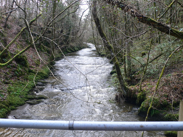
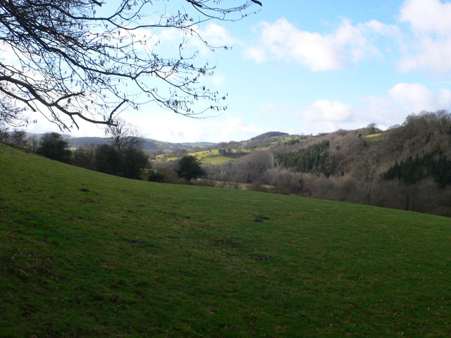
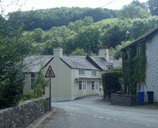
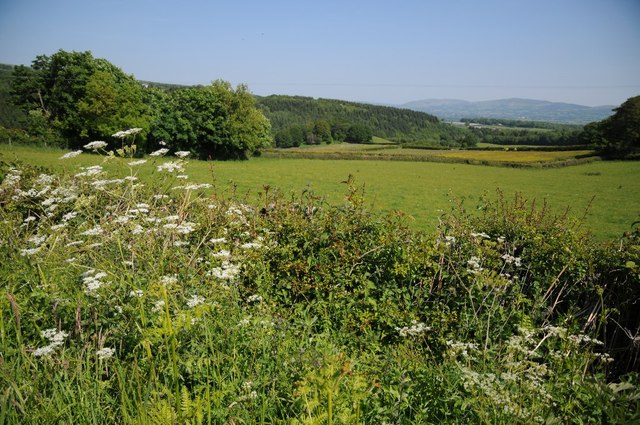
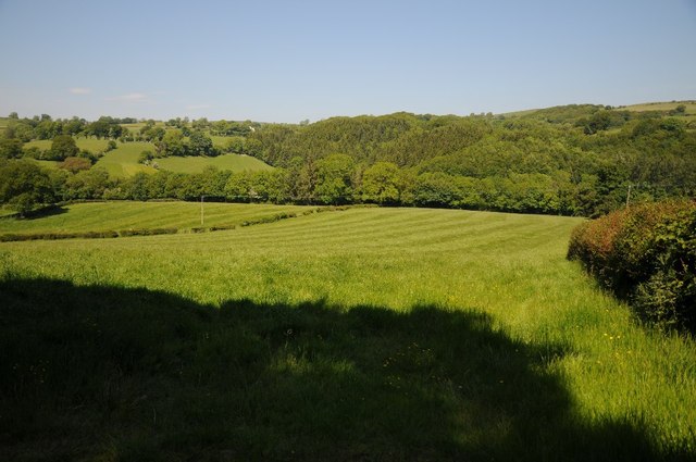
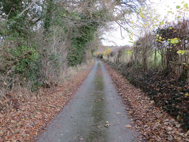
Coed y Nant is a picturesque woodland area located in Denbighshire, Wales. Covering an area of approximately 100 acres, this wood is known for its diverse range of flora and fauna, making it a popular destination for nature enthusiasts and hikers.
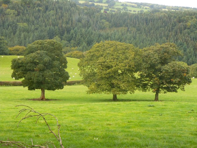
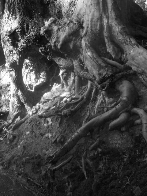
The woodland is primarily composed of deciduous trees such as oak, birch, and beech, which create a beautiful canopy that provides shade during the summer months. In spring, the forest floor is carpeted with vibrant bluebells, creating a stunning display of color.
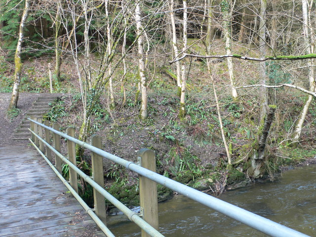
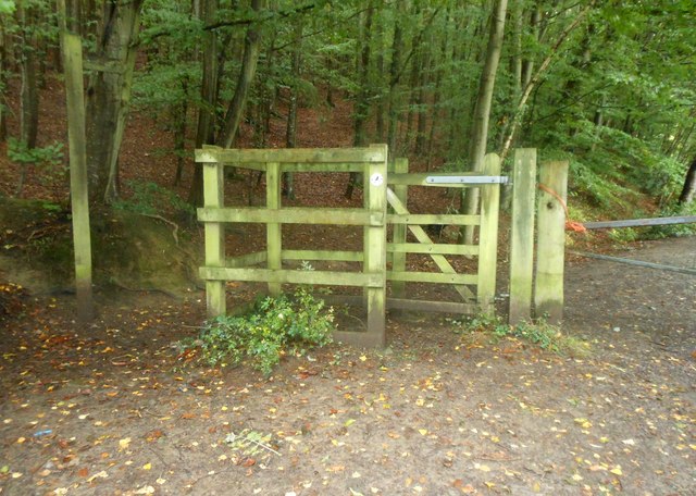
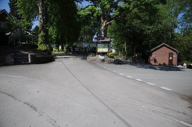
The forest is crisscrossed with a network of well-maintained trails, offering visitors the opportunity to explore the area and discover its hidden gems. There are trails suitable for all abilities, ranging from gentle strolls to more challenging hikes. Along the way, walkers may encounter a variety of wildlife, including squirrels, badgers, and a wide array of bird species.
Coed y Nant is not only a natural haven but also boasts historical significance. The woodland is home to ancient ruins, including the remains of a medieval castle and a stone circle, providing a glimpse into the area's rich past.
For those seeking a tranquil escape from the hustle and bustle of everyday life, Coed y Nant offers a serene and peaceful retreat. Whether you are a nature lover, history enthusiast, or simply in need of some fresh air, this woodland in Denbighshire is a must-visit destination.
If you have any feedback on the listing, please let us know in the comments section below.
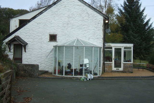
Coed y Nant Images
Images are sourced within 2km of 53.121548/-3.3566138 or Grid Reference SJ0959. Thanks to Geograph Open Source API. All images are credited.


Coed y Nant is located at Grid Ref: SJ0959 (Lat: 53.121548, Lng: -3.3566138)
Unitary Authority: Denbighshire
Police Authority: North Wales
What 3 Words
///proper.acrobatic.chaos. Near Ruthin, Denbighshire
Nearby Locations
Related Wikis

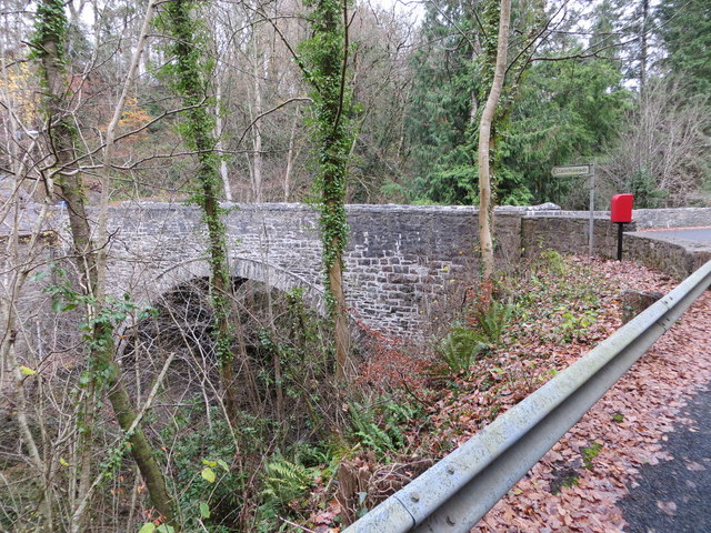
Bontuchel
Bontuchel is a hamlet in Denbighshire, Wales, located 2.8 miles (4.5 km) by road west of Ruthin. The father of Calvinist Isaac Hughes hailed from Bontuchel...

Rhewl (Llanynys, Denbighshire)
Rhewl is a village on the A525 between Ruthin and Denbigh in the county of Denbighshire in Wales. The village is beside the River Clywedog, which is bridged...

Rhewl railway station
Rhewl railway station was a station in Rhewl, Llanynys, Denbighshire, Wales. The station was opened on 1 March 1862 and closed on 30 April 1962. The main...

Llanfwrog, Denbighshire
Llanfwrog is a village in Denbighshire, in northern Wales. It hosts a church, Llanfwrog Church of St Mwrog and St Mary. The sturdy medieval tower of St...
Ruthin Town F.C.
Ruthin Town Football Club is a Welsh football club, based at the Memorial Playing Fields in Ruthin, Denbighshire. Football in Ruthin dates back to 1878...
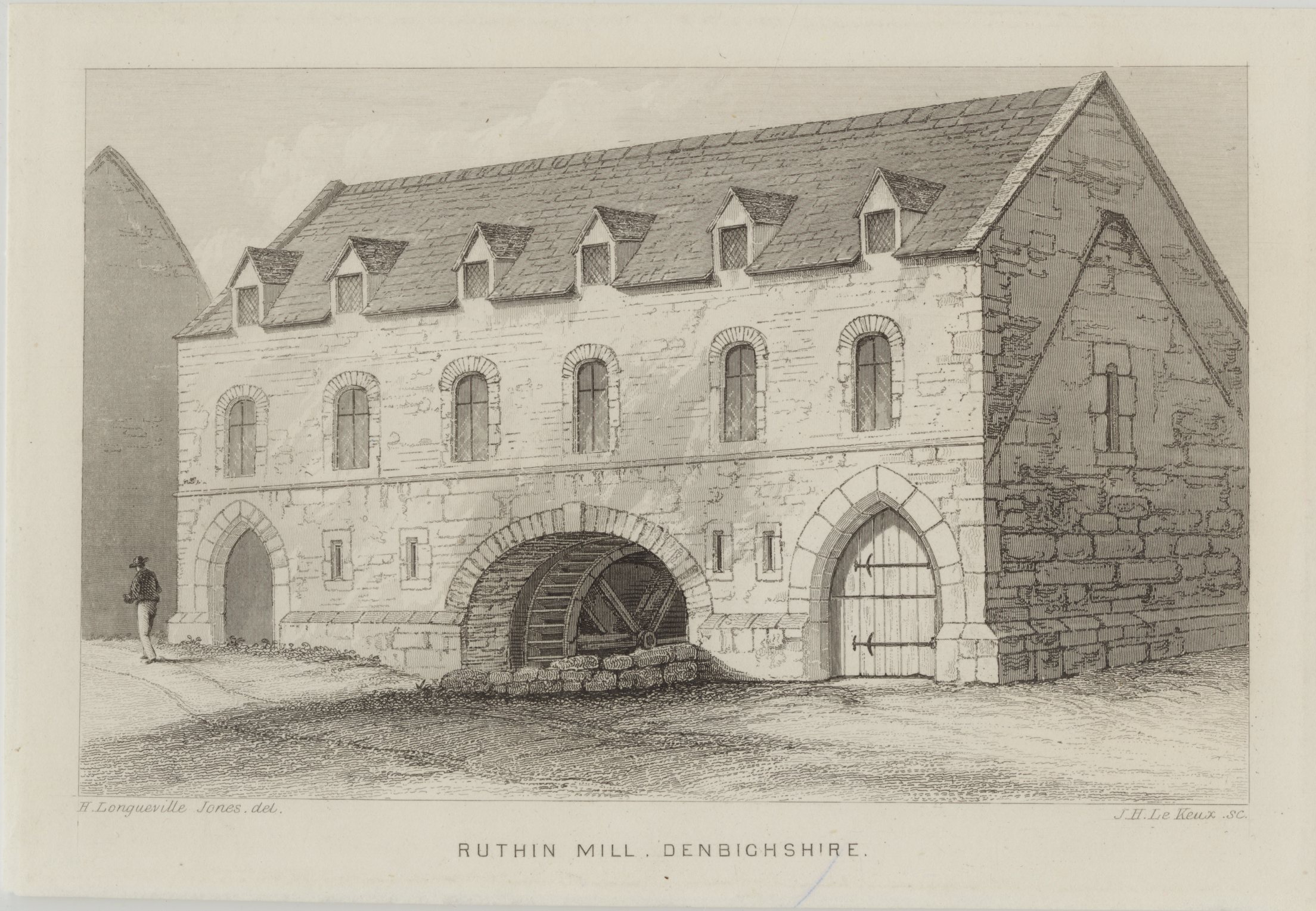
The Old Mill, Ruthin
The Old Mill, Ruthin, Denbighshire, North Wales was designated Grade II listed building on the 24 October 1950; the mill probably dates from around 1300...
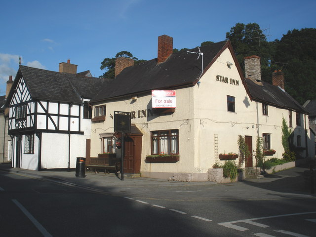
The Morning Star, Ruthin
The Morning Star (or The Star Inn), Ruthin was listed as a Grade II building on 16 May 1978. It is directly opposite the Ruthin Gaol, and is claimed to...
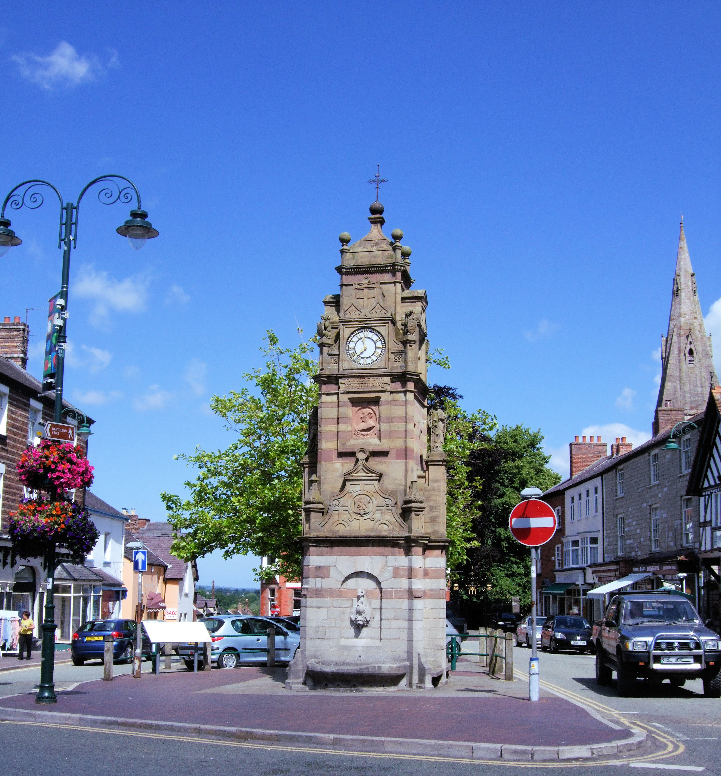
Ruthin
Ruthin ( RITH-in; Welsh: Rhuthun) is a market town and community in Denbighshire, Wales, in the south of the Vale of Clwyd. It is Denbighshire's county...
Related Videos

Luxury 11 Bedroom Property with Indoor Swimming Pool | Plas-Clwyd
A property that exudes elegance and charm, Plas-Clwyd is a luxury 11 bedroom property with indoor swimming pool, offering ...

Ruthin, North Wales THS (temporary holiday site) with Caravan & Camping Club. Aug 15th - Sept 11th
THS (temporary holiday site) in Ruthin, North Wales with the Caravan and Camping Club. Aug 15th - Sept 11th.
Nearby Amenities
Located within 500m of 53.121548,-3.3566138Have you been to Coed y Nant?
Leave your review of Coed y Nant below (or comments, questions and feedback).