Aelwyd-uchaf Belt
Wood, Forest in Flintshire
Wales
Aelwyd-uchaf Belt
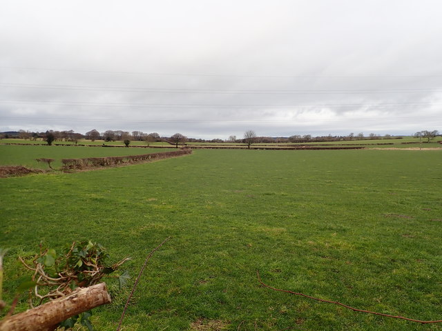
Aelwyd-uchaf Belt is a picturesque woodland located in Flintshire, Wales. Spanning over a vast area, it is a haven for nature enthusiasts and those seeking tranquility in a lush green environment. The woodland is known for its dense forest cover, encompassing a variety of trees such as oak, beech, and birch, creating a diverse and vibrant ecosystem.
The beauty of Aelwyd-uchaf Belt lies in its untouched and unspoiled natural surroundings. The forest floor is adorned with a carpet of wildflowers, adding colors and fragrances to the atmosphere. The gentle rustling of leaves and the melodious chirping of birds create a soothing symphony, providing a sense of calm and serenity to visitors.
The woodland is home to a multitude of wildlife species, making it an ideal spot for wildlife enthusiasts and birdwatchers. It is not uncommon to spot deer, foxes, and a variety of bird species, including woodpeckers and owls, in their natural habitats. The diversity of flora and fauna in Aelwyd-uchaf Belt contributes to its ecological significance and makes it a hub of biodiversity.
For outdoor enthusiasts, the woodland offers various recreational activities, including hiking and nature trails. The well-maintained pathways wind through the forest, allowing visitors to explore the beauty of the woodland at their own pace. There are also picnic areas dotted throughout the woods, providing a perfect spot for a leisurely lunch amidst nature.
Overall, Aelwyd-uchaf Belt in Flintshire is a haven of natural beauty, offering a serene escape from the hustle and bustle of daily life. Its lush greenery, diverse wildlife, and tranquil atmosphere make it a must-visit destination for nature lovers and those seeking solace in the embrace of nature.
If you have any feedback on the listing, please let us know in the comments section below.
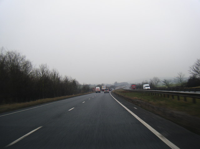
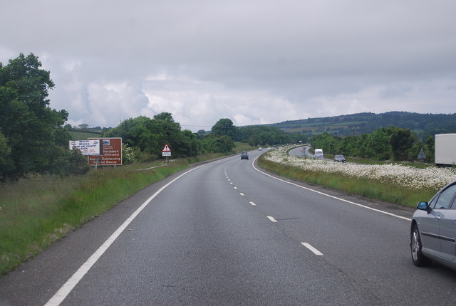
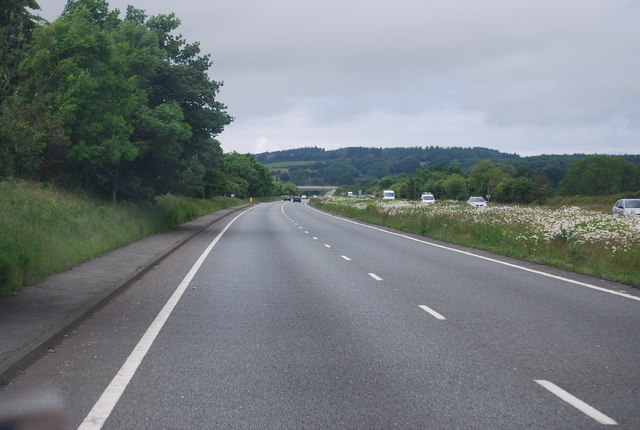
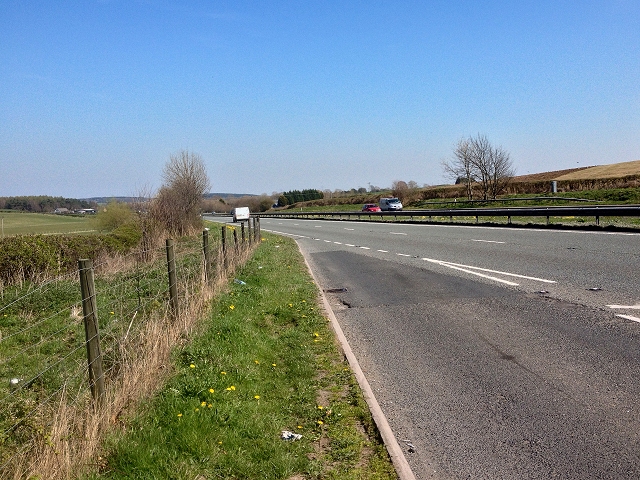
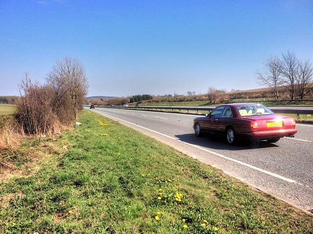
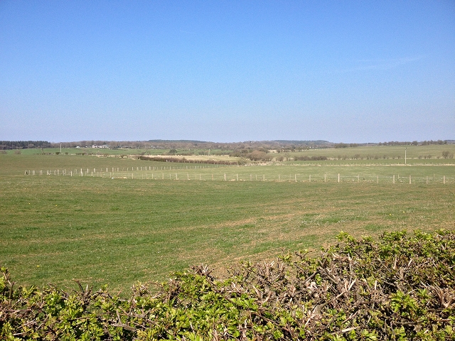
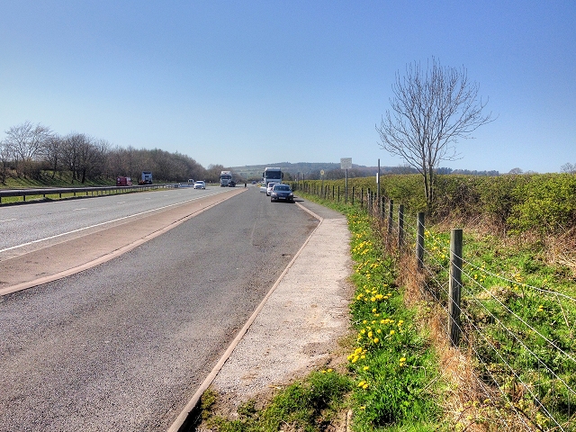
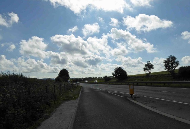
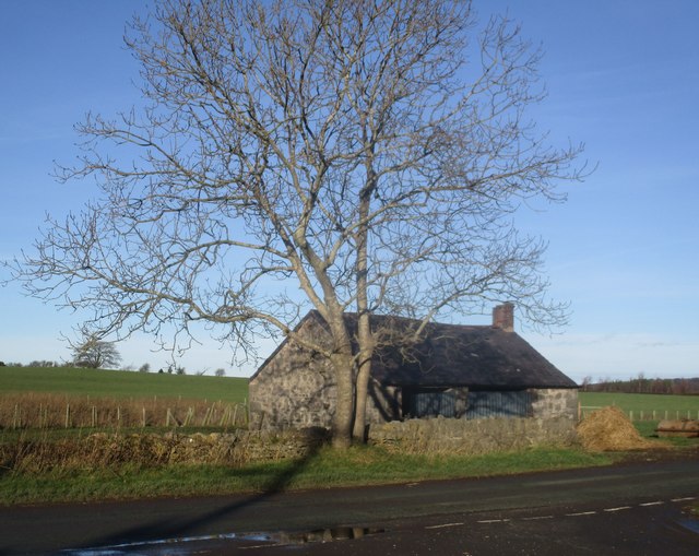
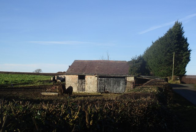
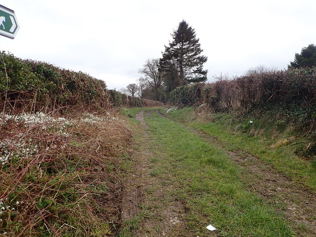
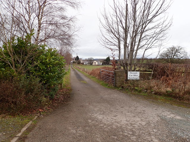
Aelwyd-uchaf Belt Images
Images are sourced within 2km of 53.256505/-3.3546005 or Grid Reference SJ0974. Thanks to Geograph Open Source API. All images are credited.
Aelwyd-uchaf Belt is located at Grid Ref: SJ0974 (Lat: 53.256505, Lng: -3.3546005)
Unitary Authority: Flintshire
Police Authority: North Wales
What 3 Words
///airports.tougher.unwound. Near Cwm, Denbighshire
Nearby Locations
Related Wikis

St Beuno's Jesuit Spirituality Centre
St Beuno's Jesuit Spirituality Centre, known locally as St Beuno's College, is a spirituality and retreat centre in Tremeirchion, Denbighshire, Wales....

Tremeirchion
Tremeirchion (previously known as Lleweni) is a small residential community in Denbighshire, Wales. It lies on the B5429 road, to the north east of Denbigh...
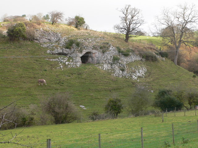
Ffynnon Beuno and Cae Gwyn Caves
Ffynnon Beuno and Cae Gwyn Caves are two Scheduled Ancient Monuments, in Denbighshire, Wales, which are also designated a Site of Special Scientific Interest...
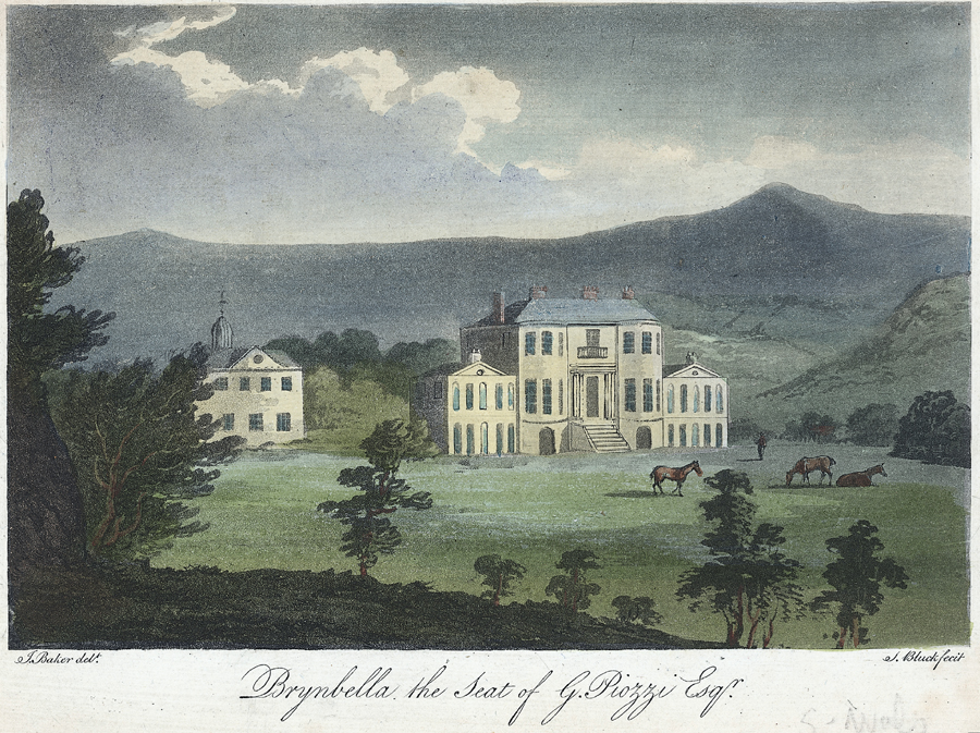
Brynbella
Brynbella is a neoclassical villa built near the village of Tremeirchion in Denbighshire, northeast Wales, by Hester Piozzi and her husband, Gabriel Piozzi...
Nearby Amenities
Located within 500m of 53.256505,-3.3546005Have you been to Aelwyd-uchaf Belt?
Leave your review of Aelwyd-uchaf Belt below (or comments, questions and feedback).