Coed Mal-Lewis
Wood, Forest in Flintshire
Wales
Coed Mal-Lewis
Coed Mal-Lewis is a picturesque woodland located in Flintshire, Wales. Spanning over a vast area, it is renowned for its natural beauty and diverse ecosystem. The woodland is primarily composed of various species of trees, creating a dense and enchanting forest.
The wood is home to an array of wildlife, making it a popular destination for nature enthusiasts and photographers. Visitors can often spot a variety of bird species, including woodpeckers, owls, and songbirds. Small mammals such as squirrels, foxes, and rabbits can also be found roaming within the woodland.
The serene atmosphere of Coed Mal-Lewis provides an ideal environment for hiking and walking enthusiasts. A network of well-maintained trails winds through the forest, allowing visitors to explore its hidden gems. The paths are surrounded by towering trees, creating a peaceful and tranquil ambiance.
Coed Mal-Lewis also offers opportunities for educational purposes. The woodland is well-preserved, and its management is focused on conservation and sustainability. As a result, it serves as an outdoor classroom for schools and educational institutions, providing a hands-on learning experience about ecosystems, biodiversity, and the importance of nature conservation.
Additionally, the woodland has picnic areas and designated spots for camping, making it a perfect destination for families and outdoor enthusiasts. The breathtaking scenery and fresh air make it an ideal location for relaxation and rejuvenation.
In summary, Coed Mal-Lewis in Flintshire, Wales, is a splendid woodland that showcases the beauty of nature. With its diverse flora and fauna, well-maintained trails, and educational opportunities, it offers a memorable experience for all who visit.
If you have any feedback on the listing, please let us know in the comments section below.
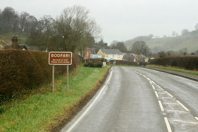
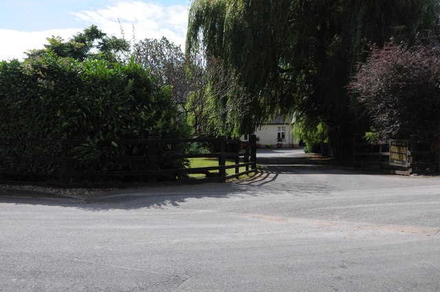
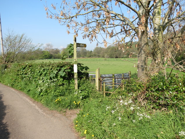
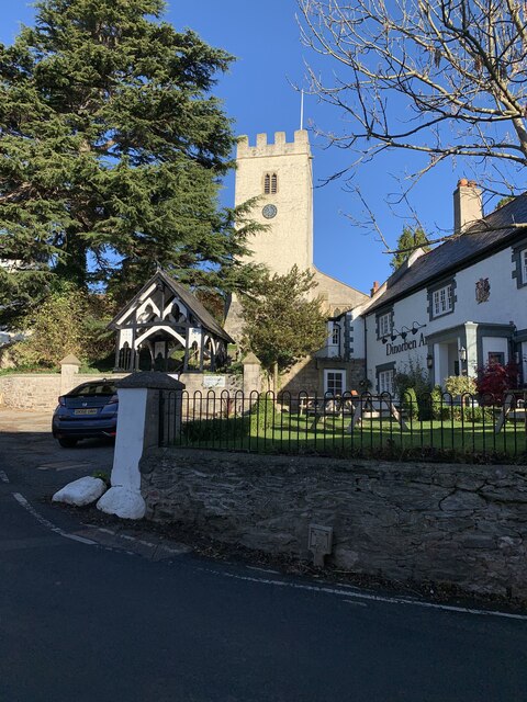
Coed Mal-Lewis Images
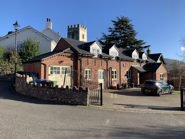
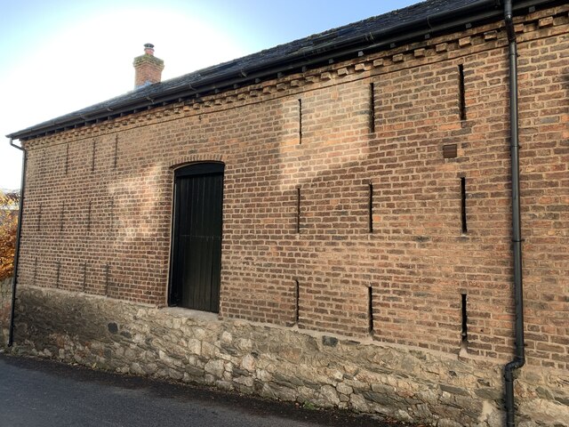
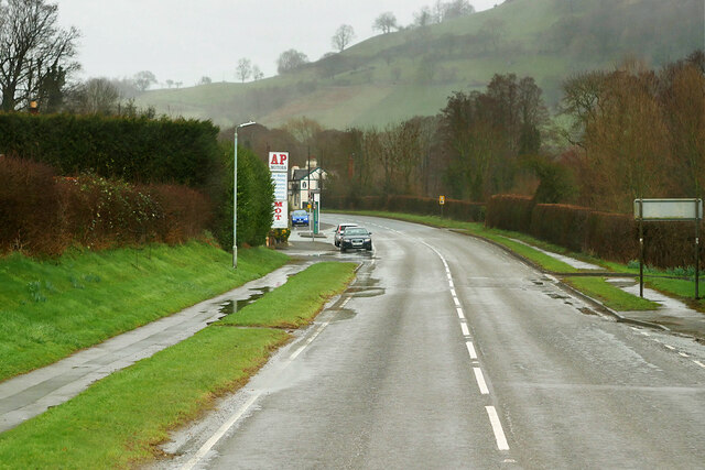
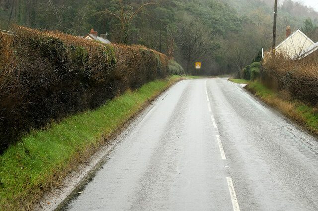
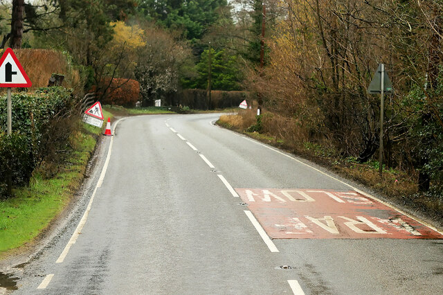
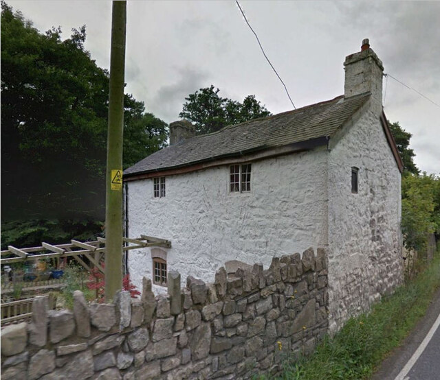
Images are sourced within 2km of 53.234155/-3.3539695 or Grid Reference SJ0971. Thanks to Geograph Open Source API. All images are credited.


Coed Mal-Lewis is located at Grid Ref: SJ0971 (Lat: 53.234155, Lng: -3.3539695)
Unitary Authority: Denbighshire
Police Authority: North Wales
What 3 Words
///bumping.detriment.harmless. Near Trefnant, Denbighshire
Nearby Locations
Related Wikis

Moel y Gaer, Bodfari
Moel y Gaer (Welsh for "bald hill of the fortress") is an Iron Age hillfort at the northern end of the Clwydian Range, located on a summit overlooking...
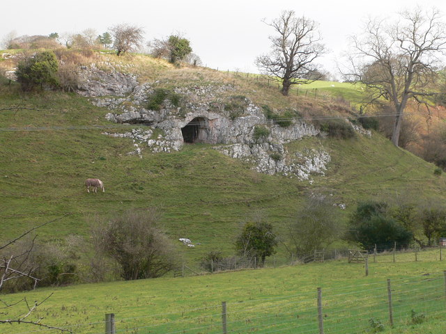
Ffynnon Beuno and Cae Gwyn Caves
Ffynnon Beuno and Cae Gwyn Caves are two Scheduled Ancient Monuments, in Denbighshire, Wales, which are also designated a Site of Special Scientific Interest...

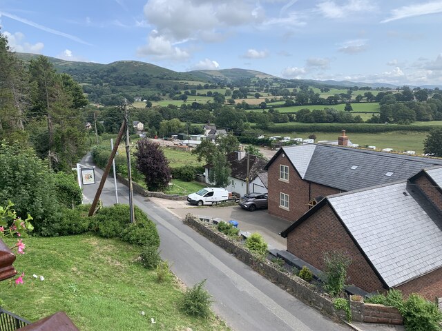
Bodfari
Bodfari is a village and community in Denbighshire, Wales. Until the local government reorganisation of 1974, Bodfari was in the historic county of Flintshire...
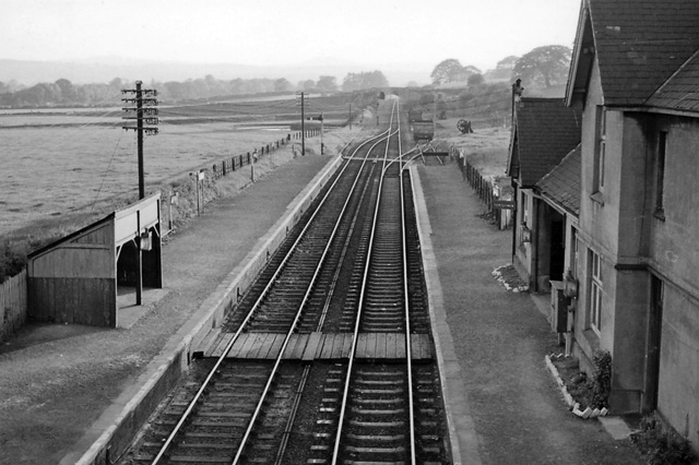
Bodfari railway station
Bodfari railway station was opened on 6 September 1869 by the Mold and Denbigh Junction Railway. Following the Railways Act 1921 the line became part of...
Nearby Amenities
Located within 500m of 53.234155,-3.3539695Have you been to Coed Mal-Lewis?
Leave your review of Coed Mal-Lewis below (or comments, questions and feedback).