Bwlch-derwin
Settlement in Caernarfonshire
Wales
Bwlch-derwin

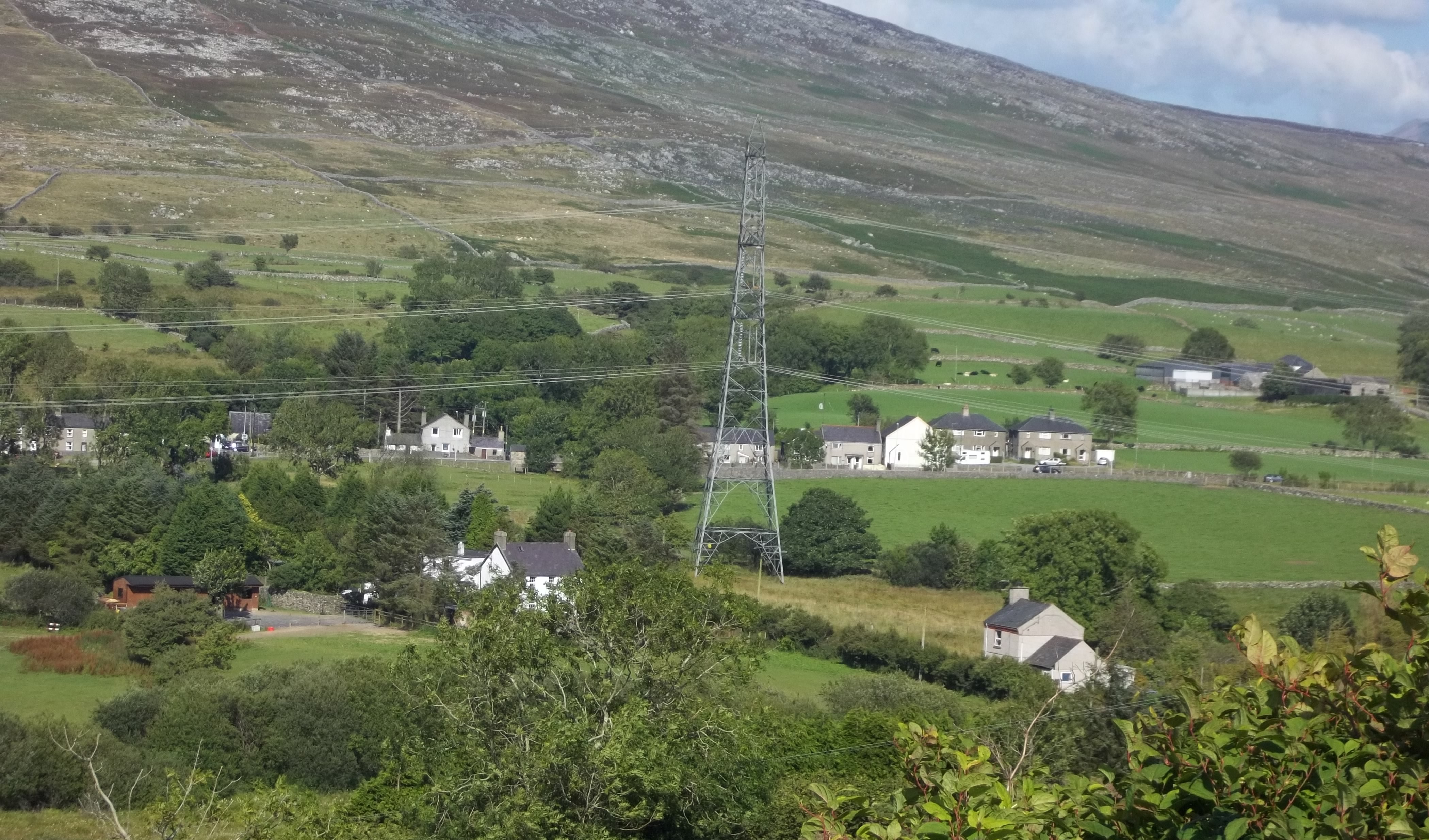
Bwlch-derwin is a small village located in the county of Caernarfonshire, North Wales. Situated in the Snowdonia National Park, it is surrounded by breathtaking natural beauty and is a popular destination for outdoor enthusiasts and nature lovers.
The village is nestled in a valley, surrounded by rolling hills and mountains, providing stunning panoramic views. Its location offers easy access to the nearby Snowdon, the highest peak in Wales, attracting hikers and climbers from all over the world. The area is also home to several picturesque lakes, including Llyn Trawsfynydd and Llyn Cwellyn, which are popular for fishing and boating.
Bwlch-derwin itself is a quaint and peaceful village, with a close-knit community. It has a small population, primarily engaged in agriculture and tourism-related activities. The village is home to a few traditional Welsh houses, adding to its charm and character.
Despite its size, Bwlch-derwin offers some amenities to its residents and visitors. There is a local pub where one can enjoy a pint of local ale and experience the warm Welsh hospitality. The village also has a small convenience store, providing basic necessities to the community.
For those seeking a tranquil and picturesque escape, Bwlch-derwin offers a perfect retreat. Its proximity to the stunning natural landscape of Snowdonia ensures that visitors can enjoy a range of outdoor activities, from hiking and mountain biking to birdwatching and photography. Bwlch-derwin is a hidden gem within Caernarfonshire, offering a taste of rural Welsh life amid breathtaking scenery.
If you have any feedback on the listing, please let us know in the comments section below.
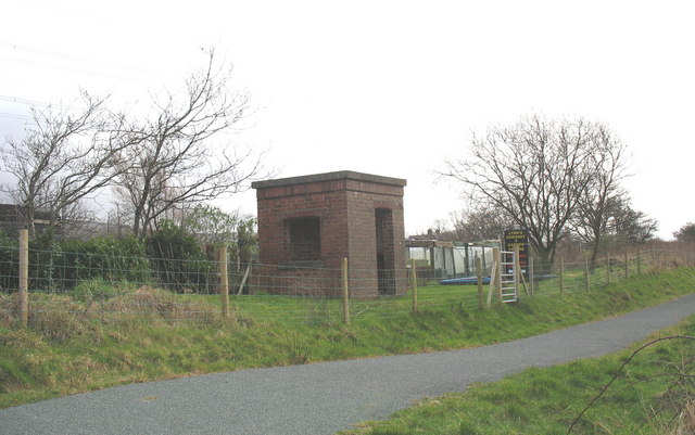
Bwlch-derwin Images
Images are sourced within 2km of 52.995439/-4.295123 or Grid Reference SH4646. Thanks to Geograph Open Source API. All images are credited.


![Afon Dwyfach [1] Downstream [east] of the minor road near Ynys yr Arch.](https://s0.geograph.org.uk/geophotos/04/26/12/4261236_83af07b7.jpg)
![Afon Dwyfach [2] Upstream [west] of the minor road near Ynys yr Arch.](https://s1.geograph.org.uk/geophotos/04/26/12/4261237_e5c85dad.jpg)


![Tyn y Gors - Ar Werth [Marsh House - For Sale] The spelling used locally is different from that mapped by the OS.](https://s1.geograph.org.uk/geophotos/04/26/33/4263389_497628b5.jpg)
Bwlch-derwin is located at Grid Ref: SH4646 (Lat: 52.995439, Lng: -4.295123)
Unitary Authority: Gwynedd
Police Authority: North Wales
What 3 Words
///piper.enlighten.trumpet. Near Penygroes, Gwynedd
Nearby Locations
Related Wikis

Battle of Bryn Derwin
The Battle of Bryn Derwin was fought in Eifionydd, Gwynedd on June 1255, between Llywelyn ap Gruffudd and his brothers, Dafydd ap Gruffudd and Owain Goch...
Pant Glas railway station
Pant Glas was a railway station opened by the LNWR in Pant Glas, Gwynedd, Wales, serving a sparsely populated rural area. Custom was never heavy, leading...
Pant Glas
Pant Glas (Welsh for Green Hollow - in Welsh, as in other Celtic languages, "glas" may mean both 'green' and 'blue') is a hamlet on the A487 road in Gwynedd...
Pen Llystyn
Pen Llystyn, sometimes referred to as Pen Llys Tyn, was a Roman fort located to the north of Bryncir, between Porthmadog and Caernarfon in Gwynedd, north...
Nearby Amenities
Located within 500m of 52.995439,-4.295123Have you been to Bwlch-derwin?
Leave your review of Bwlch-derwin below (or comments, questions and feedback).