Y Foel
Hill, Mountain in Caernarfonshire
Wales
Y Foel

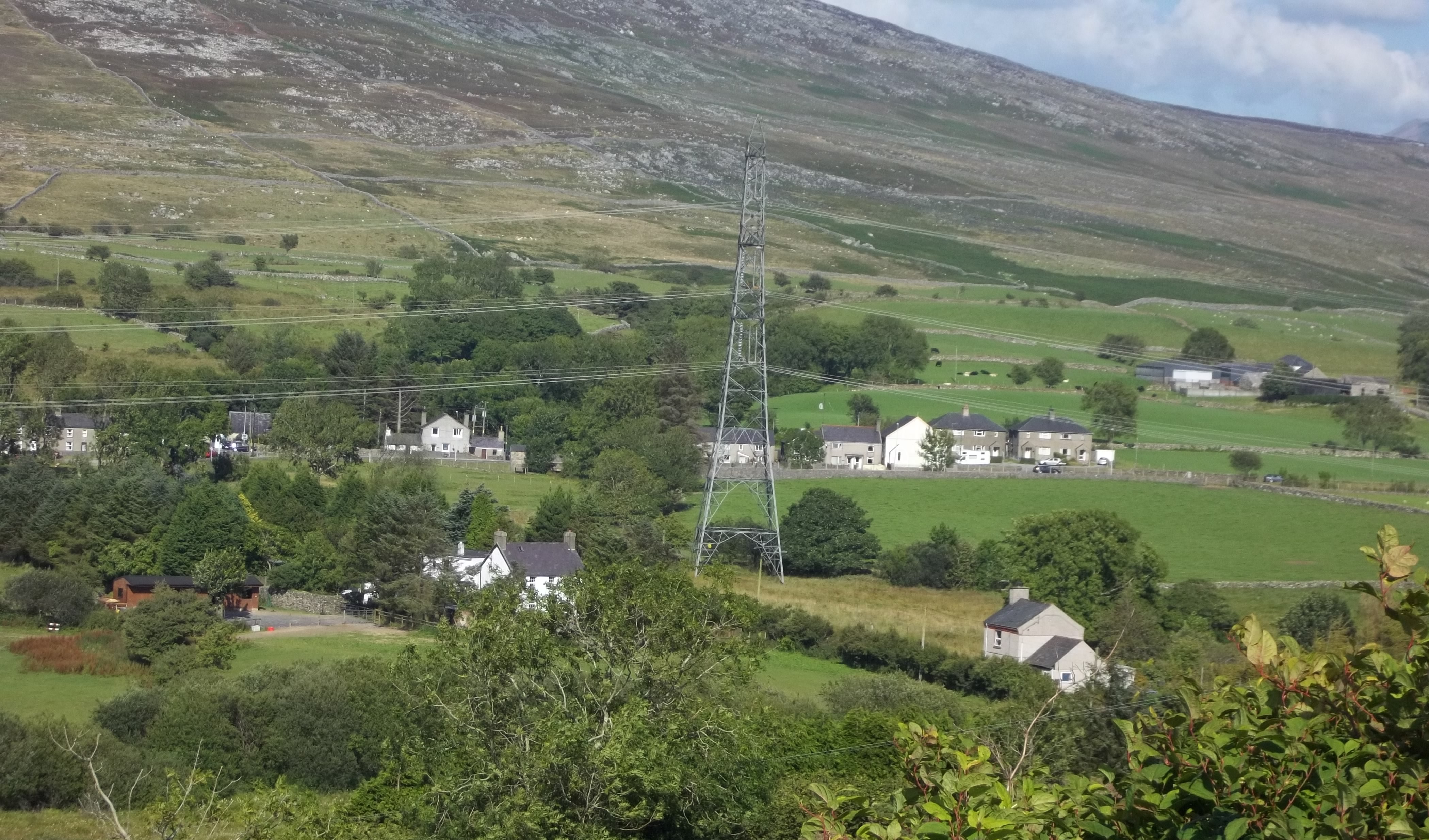
Y Foel is a prominent hill located in Caernarfonshire, Wales. Standing at an elevation of approximately 323 meters (1,060 feet), it offers stunning views of the surrounding landscape and provides a popular destination for nature enthusiasts and hikers alike.
Situated in the beautiful Snowdonia National Park, Y Foel is known for its diverse flora and fauna. The hill is covered in lush green vegetation, including heather, grasses, and scattered trees, creating a picturesque and tranquil atmosphere. Wildlife is abundant in the area, with a variety of bird species, small mammals, and even some rare plants being spotted here.
The ascent to the summit of Y Foel is relatively easy, making it accessible to people of all fitness levels. The well-maintained footpath provides a pleasant walk through the countryside, with occasional rocky sections adding a touch of adventure. As hikers reach the top, they are rewarded with breathtaking panoramic views of the surrounding landscape, including nearby lakes, rolling hills, and the distant Snowdonia mountain range.
Y Foel is a popular spot for outdoor activities such as walking, hiking, and picnicking. Its close proximity to nearby towns and villages makes it easily accessible, attracting both locals and tourists throughout the year. The hill offers a peaceful retreat from the hustle and bustle of urban life, allowing visitors to connect with nature and enjoy the serenity of the Welsh countryside.
If you have any feedback on the listing, please let us know in the comments section below.
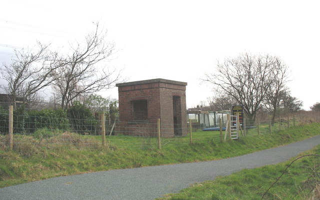
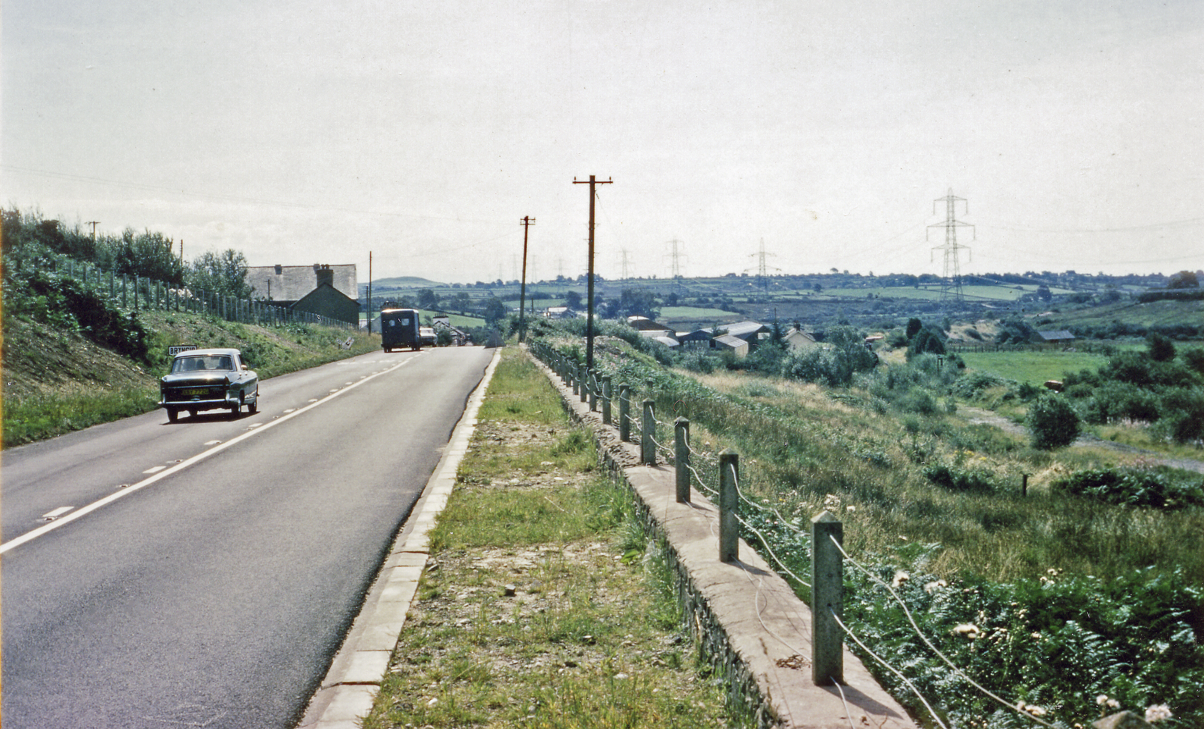
Y Foel Images
Images are sourced within 2km of 52.995676/-4.2891184 or Grid Reference SH4646. Thanks to Geograph Open Source API. All images are credited.

![Pasture north of Bryncir Looking northeast towards a heather[?] fire on the slopes of Mynydd Graig Goch.](https://s2.geograph.org.uk/geophotos/02/30/14/2301474_84465e7d.jpg)


![Afon Dwyfach [1] Downstream [east] of the minor road near Ynys yr Arch.](https://s0.geograph.org.uk/geophotos/04/26/12/4261236_83af07b7.jpg)
![Afon Dwyfach [2] Upstream [west] of the minor road near Ynys yr Arch.](https://s1.geograph.org.uk/geophotos/04/26/12/4261237_e5c85dad.jpg)

Y Foel is located at Grid Ref: SH4646 (Lat: 52.995676, Lng: -4.2891184)
Unitary Authority: Gwynedd
Police Authority: North Wales
What 3 Words
///framework.palaces.lectured. Near Penygroes, Gwynedd
Nearby Locations
Related Wikis

Battle of Bryn Derwin
The Battle of Bryn Derwin was fought in Eifionydd, Gwynedd on June 1255, between Llywelyn ap Gruffudd and his brothers, Dafydd ap Gruffudd and Owain Goch...
Pant Glas railway station
Pant Glas was a railway station opened by the LNWR in Pant Glas, Gwynedd, Wales, serving a sparsely populated rural area. Custom was never heavy, leading...
Pant Glas
Pant Glas (Welsh for Green Hollow - in Welsh, as in other Celtic languages, "glas" may mean both 'green' and 'blue') is a hamlet on the A487 road in Gwynedd...
Pen Llystyn
Pen Llystyn, sometimes referred to as Pen Llys Tyn, was a Roman fort located to the north of Bryncir, between Porthmadog and Caernarfon in Gwynedd, north...

Caernarfon (Assembly constituency)
Caernarfon was a constituency of the National Assembly for Wales from 1999 to 2007. It was one of nine constituencies in the North Wales electoral region...
Caernarfon (UK Parliament constituency)
Caernarfon was a parliamentary constituency centred on the town of Caernarfon in Wales. It elected one Member of Parliament (MP) by the first past the...
Brynkir railway station
Brynkir railway station was opened by the Carnarvonshire Railway on the western edge of the village of Bryncir, Gwynedd, Wales. The station was not heavily...
Lôn Las Menai
Lôn Las Menai is part of Lôn Las Cymru, the Welsh National Cycle Route, which is about 400 km (250 mi) long. Lôn Las Menai is the section which runs for...
Nearby Amenities
Located within 500m of 52.995676,-4.2891184Have you been to Y Foel?
Leave your review of Y Foel below (or comments, questions and feedback).