Coed y Fron

Wood, Forest in Flintshire

Wales

Coed y Fron

St Beuno's theological college The Catholic seminary of St Beuno, where Gerard Manley Hopkins studied. The A55 expressway very visible in the near distance.
St Beuno's theological college Credit: Mike Parker

Coed y Fron is a picturesque woodland located in Flintshire, Wales. Covering an area of approximately 60 hectares, the forest is a popular destination for nature lovers and outdoor enthusiasts. The woodland is home to a diverse range of flora and fauna, including oak, birch, and beech trees, as well as a variety of bird species such as woodpeckers and owls.

Visitors to Coed y Fron can enjoy a network of well-maintained trails that wind through the forest, providing opportunities for hiking, walking, and wildlife spotting. The peaceful atmosphere of the woodland makes it an ideal spot for relaxation and contemplation, away from the hustle and bustle of everyday life.

In addition to its natural beauty, Coed y Fron also has historical significance, with remnants of ancient settlements and structures scattered throughout the forest. Archaeological sites dating back to the Iron Age have been discovered in the area, adding to the intrigue and mystique of the woodland.

Overall, Coed y Fron is a tranquil and enchanting woodland that offers visitors a chance to connect with nature and explore the rich history of the region.

If you have any feedback on the listing, please let us know in the comments section below.
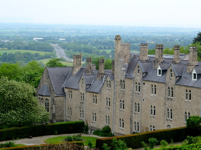
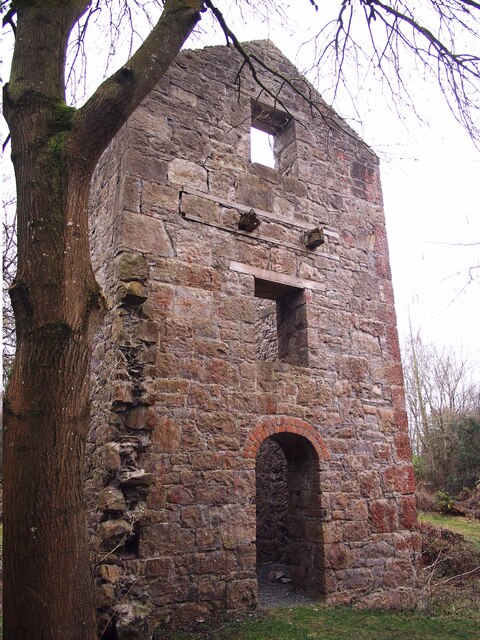
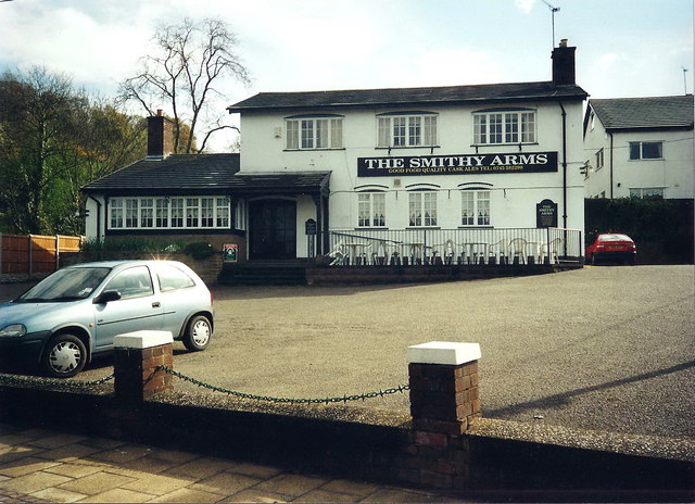
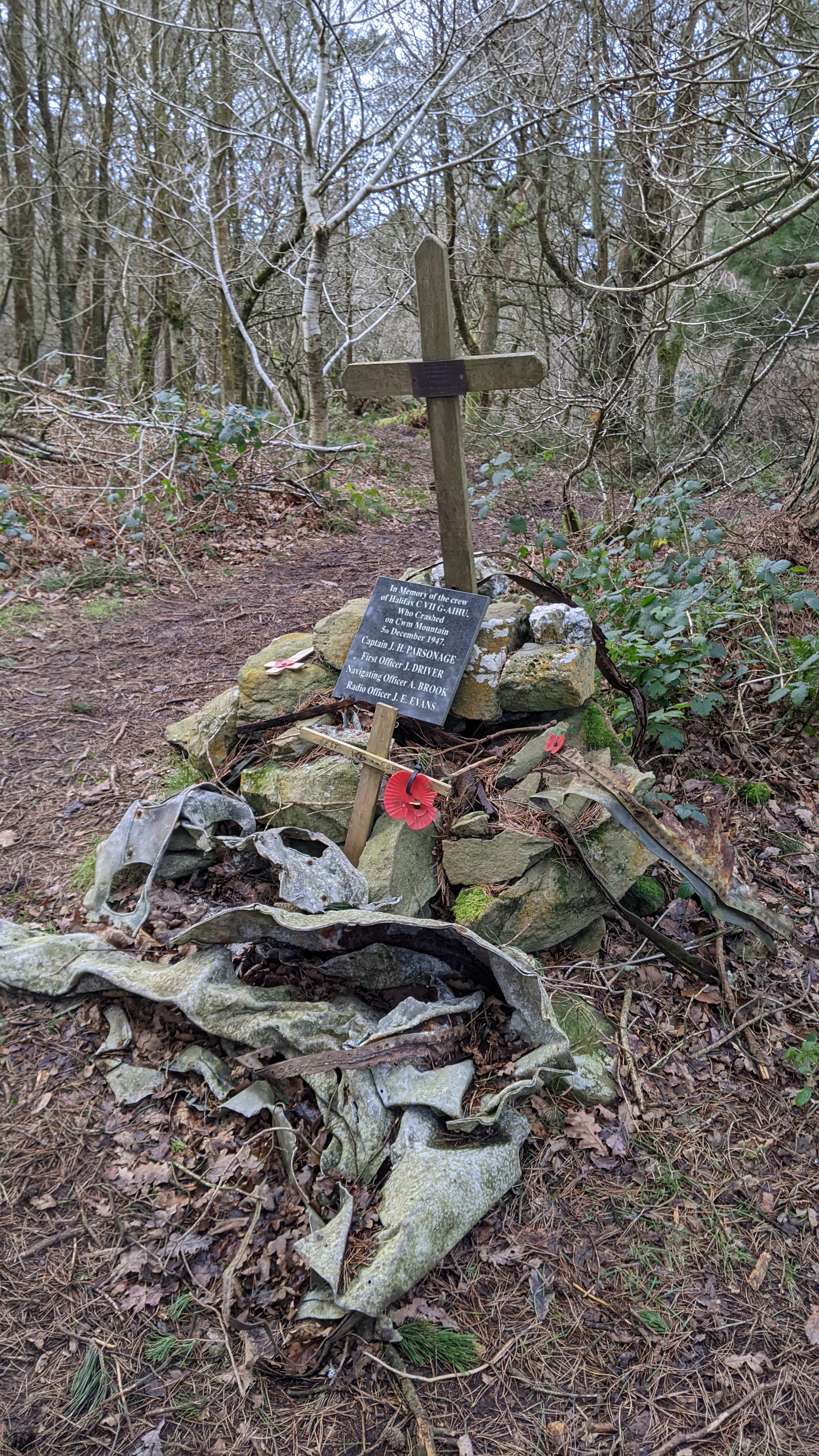
Coed y Fron Images

Images are sourced within 2km of 53.268135/-3.3960536 or Grid Reference SJ0675. Thanks to Geograph Open Source API. All images are credited.

St Beuno's theological college The Catholic seminary of St Beuno, where Gerard Manley Hopkins studied. The A55 expressway very visible in the near distance.
St Beuno's theological college
The Catholic seminary of St Beuno, where Gerard Manley Hopkins studied. The A55 expressway very visible in the near distance.
Plas yn Cwm near Rhuallt
Westbound A55 near Rhuallt The A55, also known as the North Wales Expressway (Gwibffordd Gogledd Cymru), is the major road in North Wales running for 88 miles between Chester and Holyhead via Conwy and Bangor. 

The A55 is a very high quality road, much of it rebuilt since the 1970s in response to traffic problems in Colwyn Bay, Colwyn and Llandudno caused by traffic having to pass through town centres on totally unsuitable streets, (especially in Conwy where lorries often scraped their paintwork as they passed through 12th century arches in the town's walls), leading to the construction of an east-west expressway bypassing the urban centres. It is a dual carriageway primary route for its entire length with the exception of the point where it crosses the Britannia Bridge over the Menai Strait. All of its junctions are grade separated except for two roundabouts; one east of Penmaenmawr and one in Llanfairfechan. The road originally ran from Chester to Bangor but was extended parallel to the A5 across Anglesey right into Holyhead Docks in 2001.

<span class="nowrap"><a title="http://www.sabre-roads.org.uk/wiki/index.php?title=A55" rel="nofollow ugc noopener" href="http://www.sabre-roads.org.uk/wiki/index.php?title=A55">Link</a><img style="margin-left:2px;" alt="External link" title="External link - shift click to open in new window" src="https://s1.geograph.org.uk/img/external.png" width="10" height="10"/></span>  SABRE
Westbound A55 near Rhuallt
The A55, also known as the North Wales Expressway (Gwibffordd Gogledd Cymru), is the major road in North Wales running for 88 miles between Chester and Holyhead via Conwy and Bangor. The A55 is a very high quality road, much of it rebuilt since the 1970s in response to traffic problems in Colwyn Bay, Colwyn and Llandudno caused by traffic having to pass through town centres on totally unsuitable streets, (especially in Conwy where lorries often scraped their paintwork as they passed through 12th century arches in the town's walls), leading to the construction of an east-west expressway bypassing the urban centres. It is a dual carriageway primary route for its entire length with the exception of the point where it crosses the Britannia Bridge over the Menai Strait. All of its junctions are grade separated except for two roundabouts; one east of Penmaenmawr and one in Llanfairfechan. The road originally ran from Chester to Bangor but was extended parallel to the A5 across Anglesey right into Holyhead Docks in 2001. LinkExternal link SABRE
Engine House, Pennant Mine
A55 eastbound near Junction 28
A55 eastbound near Rhuallt
Cae indrawn / A maize field
Clytwaith o gaeau Dyffryn Clwyd / A patchwork of fields in the Vale of Clwyd
Tan-y-Bryn
Tan-y-Bryn
Ty Ucha
Ty Ucha
Rock cutting, A55 The A55 is also known as the North Wales expressway. Originally it ran from Chester to Bangor, but was extended in 2001 across Anglesey to Holyhead. It is dual carriageway along its entire length.
Wikipedia: <span class="nowrap"><a title="http://en.wikipedia.org/wiki/A55_road" rel="nofollow ugc noopener" href="http://en.wikipedia.org/wiki/A55_road">Link</a><img style="margin-left:2px;" alt="External link" title="External link - shift click to open in new window" src="https://s1.geograph.org.uk/img/external.png" width="10" height="10"/></span>
Rock cutting, A55
The A55 is also known as the North Wales expressway. Originally it ran from Chester to Bangor, but was extended in 2001 across Anglesey to Holyhead. It is dual carriageway along its entire length. Wikipedia: LinkExternal link
A55, Rhuallt Hill The A55 is also known as the North Wales expressway. Originally it ran from Chester to Bangor, but was extended in 2001 across Anglesey to Holyhead. It is dual carriageway along its entire length.
Wikipedia: <span class="nowrap"><a title="http://en.wikipedia.org/wiki/A55_road" rel="nofollow ugc noopener" href="http://en.wikipedia.org/wiki/A55_road">Link</a><img style="margin-left:2px;" alt="External link" title="External link - shift click to open in new window" src="https://s1.geograph.org.uk/img/external.png" width="10" height="10"/></span>
A55, Rhuallt Hill
The A55 is also known as the North Wales expressway. Originally it ran from Chester to Bangor, but was extended in 2001 across Anglesey to Holyhead. It is dual carriageway along its entire length. Wikipedia: LinkExternal link
Footbridge crosses the A55 The A55 is also known as the North Wales expressway. Originally it ran from Chester to Bangor, but was extended in 2001 across Anglesey to Holyhead. It is dual carriageway along its entire length.
Wikipedia: <span class="nowrap"><a title="http://en.wikipedia.org/wiki/A55_road" rel="nofollow ugc noopener" href="http://en.wikipedia.org/wiki/A55_road">Link</a><img style="margin-left:2px;" alt="External link" title="External link - shift click to open in new window" src="https://s1.geograph.org.uk/img/external.png" width="10" height="10"/></span>
Footbridge crosses the A55
The A55 is also known as the North Wales expressway. Originally it ran from Chester to Bangor, but was extended in 2001 across Anglesey to Holyhead. It is dual carriageway along its entire length. Wikipedia: LinkExternal link
Descending Rhuallt Hill The A55 is also known as the North Wales expressway. Originally it ran from Chester to Bangor, but was extended in 2001 across Anglesey to Holyhead. It is dual carriageway along its entire length.
Wikipedia: <span class="nowrap"><a title="http://en.wikipedia.org/wiki/A55_road" rel="nofollow ugc noopener" href="http://en.wikipedia.org/wiki/A55_road">Link</a><img style="margin-left:2px;" alt="External link" title="External link - shift click to open in new window" src="https://s1.geograph.org.uk/img/external.png" width="10" height="10"/></span>
Descending Rhuallt Hill
The A55 is also known as the North Wales expressway. Originally it ran from Chester to Bangor, but was extended in 2001 across Anglesey to Holyhead. It is dual carriageway along its entire length. Wikipedia: LinkExternal link
A55, Rhuallt Hill The A55 is also known as the North Wales expressway. Originally it ran from Chester to Bangor, but was extended in 2001 across Anglesey to Holyhead. It is dual carriageway along its entire length.
Wikipedia: <span class="nowrap"><a title="http://en.wikipedia.org/wiki/A55_road" rel="nofollow ugc noopener" href="http://en.wikipedia.org/wiki/A55_road">Link</a><img style="margin-left:2px;" alt="External link" title="External link - shift click to open in new window" src="https://s1.geograph.org.uk/img/external.png" width="10" height="10"/></span>
A55, Rhuallt Hill
The A55 is also known as the North Wales expressway. Originally it ran from Chester to Bangor, but was extended in 2001 across Anglesey to Holyhead. It is dual carriageway along its entire length. Wikipedia: LinkExternal link
A55, foot of Rhuallt Hill The A55 is also known as the North Wales expressway. Originally it ran from Chester to Bangor, but was extended in 2001 across Anglesey to Holyhead. It is dual carriageway along its entire length.
Wikipedia: <span class="nowrap"><a title="http://en.wikipedia.org/wiki/A55_road" rel="nofollow ugc noopener" href="http://en.wikipedia.org/wiki/A55_road">Link</a><img style="margin-left:2px;" alt="External link" title="External link - shift click to open in new window" src="https://s1.geograph.org.uk/img/external.png" width="10" height="10"/></span>
A55, foot of Rhuallt Hill
The A55 is also known as the North Wales expressway. Originally it ran from Chester to Bangor, but was extended in 2001 across Anglesey to Holyhead. It is dual carriageway along its entire length. Wikipedia: LinkExternal link
Bridge over the A55 The A55 is also known as the North Wales expressway. Originally it ran from Chester to Bangor, but was extended in 2001 across Anglesey to Holyhead. It is dual carriageway along its entire length.
Wikipedia: <span class="nowrap"><a title="http://en.wikipedia.org/wiki/A55_road" rel="nofollow ugc noopener" href="http://en.wikipedia.org/wiki/A55_road">Link</a><img style="margin-left:2px;" alt="External link" title="External link - shift click to open in new window" src="https://s1.geograph.org.uk/img/external.png" width="10" height="10"/></span>
Bridge over the A55
The A55 is also known as the North Wales expressway. Originally it ran from Chester to Bangor, but was extended in 2001 across Anglesey to Holyhead. It is dual carriageway along its entire length. Wikipedia: LinkExternal link
Road off the A55, Waen Gate
Show me another place!

Coed y Fron is located at Grid Ref: SJ0675 (Lat: 53.268135, Lng: -3.3960536)

Unitary Authority: Denbighshire

Police Authority: North Wales

What 3 Words

///oatmeal.scarred.bandwagon. Near Cwm, Denbighshire

Nearby Locations

Coed y Fron

Related Wikis

Rhuallt

Rhuallt is a village in Denbighshire, Wales. The village is situated approximately 5 mi (8.0 km) south of Prestatyn and 2 mi (3.2 km) east of St Asaph...

Mynydd y Cwm

Mynydd y Cwm is a hill in the Clwydian Range in Denbighshire, North Wales. It reaches a height of 304.8 metres (1,000 feet). It has recently been promoted...

Vale of Clwyd (UK Parliament constituency)

The Vale of Clwyd (Welsh: Dyffryn Clwyd) is a constituency of the House of Commons of the UK Parliament created in 1997 and represented since 2019 by James...

St Beuno's Jesuit Spirituality Centre

St Beuno's Jesuit Spirituality Centre, known locally as St Beuno's College, is a spirituality and retreat centre in Tremeirchion, Denbighshire, Wales....

Nearby Amenities

Located within 500m of 53.268135,-3.3960536
Turning Circle
Lat/Long: 53.2644463/-3.3921035
Natural: spring
Lat/Long: 53.2691582/-3.3899673
Power: pole
Lat/Long: 53.2723944/-3.3953015
Power: pole
Lat/Long: 53.2713212/-3.3943887
Power: pole
Lat/Long: 53.270705/-3.3939991
Power: pole
Lat/Long: 53.2700748/-3.393567
Power: pole
Lat/Long: 53.2693287/-3.3932732
Power: pole
Lat/Long: 53.2684769/-3.3929049
Power: pole
Lat/Long: 53.2718463/-3.3946803
Direction: WSW
Generator Method: photovoltaic
Generator Output Electricity: yes
Generator Solar Modules: 8
Generator Source: solar
Generator Type: solar_photovoltaic_panel
Location: roof
Power: generator
Lat/Long: 53.2666391/-3.3911779
Direction: SW
Generator Method: photovoltaic
Generator Output Electricity: yes
Generator Solar Modules: 5
Generator Source: solar
Generator Type: solar_photovoltaic_panel
Location: roof
Power: generator
Lat/Long: 53.2718216/-3.3950108
Direction: 235
Generator Method: photovoltaic
Generator Output Electricity: yes
Generator Solar Modules: 18
Generator Source: solar
Generator Type: solar_photovoltaic_panel
Location: roof
Power: generator
Lat/Long: 53.266753/-3.3912724
The data included in this document is from www.openstreetmap.org. The data is made available under ODbL.

Have you been to Coed y Fron?

Leave your review of Coed y Fron below (or comments, questions and feedback).