Bryn-y-pentre Wood

Wood, Forest in Montgomeryshire

Wales

Bryn-y-pentre Wood

Copse near Black Well spring
Copse near Black Well spring Credit: Penny Mayes

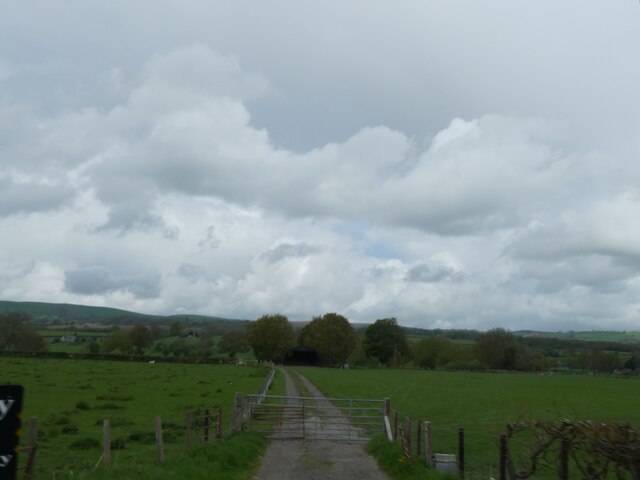
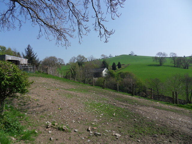
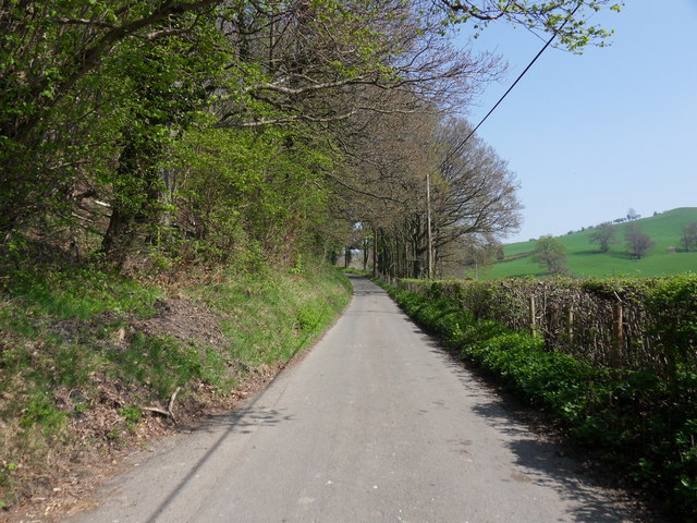
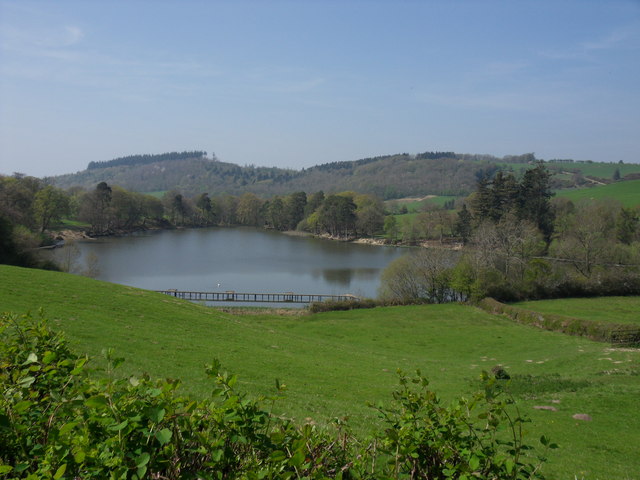
Bryn-y-pentre Wood is a picturesque woodland located in Montgomeryshire, Wales. Covering an area of approximately 20 hectares, this ancient forest is a haven for wildlife and a popular destination for nature enthusiasts and hikers.

The woodland is primarily composed of native broadleaf trees such as oak, beech, and ash, creating a dense canopy that provides shelter for a variety of bird species including woodpeckers, owls, and thrushes. The forest floor is carpeted with a rich diversity of plant life, including bluebells, ferns, and mosses.

Tranquil walking trails wind through the woodland, offering visitors the opportunity to explore its natural beauty and observe the local flora and fauna. The sound of birdsong fills the air, creating a peaceful and relaxing atmosphere for those seeking respite from the hustle and bustle of everyday life.

Bryn-y-pentre Wood is a valuable ecological resource, providing habitat for a wide range of species and contributing to the overall biodiversity of the region. Its preservation and conservation are essential to ensuring the continued health and vitality of this unique woodland ecosystem.

If you have any feedback on the listing, please let us know in the comments section below.

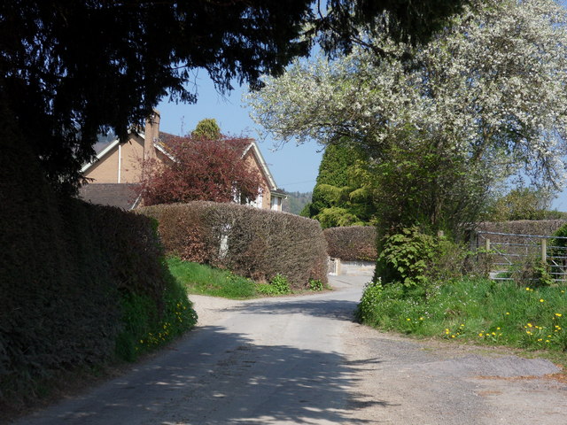
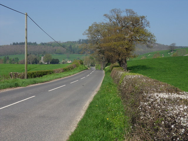
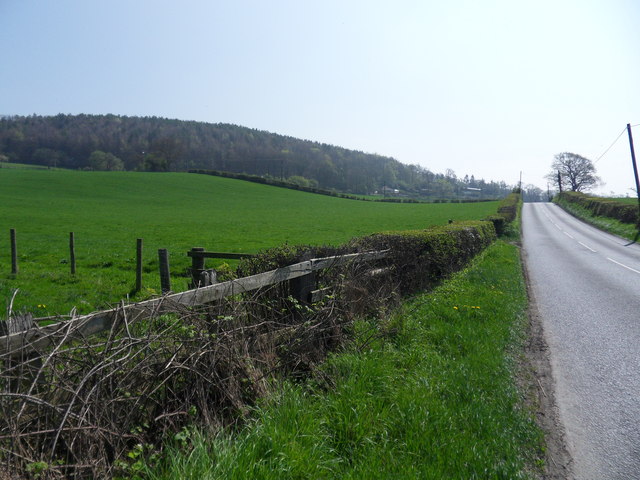
Bryn-y-pentre Wood Images

Images are sourced within 2km of 52.528026/-3.3725641 or Grid Reference SO0693. Thanks to Geograph Open Source API. All images are credited.

Copse near Black Well spring
A489 crossing railway bridge near Penstrowed
A489 westbound at Red House Farm
Farm track to building by River Severn
St Gwrhai church in Penstrowed
Aberhafesp Church St Gwynog's Church, Aberhafesp, near Newtown.
Aberhafesp Church
St Gwynog's Church, Aberhafesp, near Newtown.
Highgate Road Country lane leading to Highgate from the B4568 at Aberhafesp.
Highgate Road
Country lane leading to Highgate from the B4568 at Aberhafesp.
Aberhafesp Road The B4568 from Newtown leading to Aberhafesp.
Aberhafesp Road
The B4568 from Newtown leading to Aberhafesp.
Newtown Road The B4568 leading to Newtown from Aberhafesp.Birchybank Coppice can be seen to the left of the road way.
Newtown Road
The B4568 leading to Newtown from Aberhafesp.Birchybank Coppice can be seen to the left of the road way.
Rhyd-y-felin Chapel Rhydfelin Baptist Chapel just off road to Highgate, near Aberhafesp.
Rhyd-y-felin Chapel
Rhydfelin Baptist Chapel just off road to Highgate, near Aberhafesp.
Rhyd-y-felin Wood Rhydefelin Coppice alongside country lane leading to Highgate from Aberhafesp.
Rhyd-y-felin Wood
Rhydefelin Coppice alongside country lane leading to Highgate from Aberhafesp.
The Pool Fachwen Pool, Rhyd-y-felin.
The Pool
Fachwen Pool, Rhyd-y-felin.
Cross Roads Road leading to Bank Farm, Crossroads near Fachwen Pool.
Cross Roads
Road leading to Bank Farm, Crossroads near Fachwen Pool.
A489 approaching Ty-Mawr Looking west. A489 has just crossed the railway here.
A489 approaching Ty-Mawr
Looking west. A489 has just crossed the railway here.
A489 approaching Red House Looking towards Caersws
A489 approaching Red House
Looking towards Caersws
Rare Sunday express on the Cambrian Railway near Newtown View westward, towards Moat Lane Junction, Machynlleth etc.: ex-Cambrian Railway Whitchurch - Welshpool - Machynlleth - Aberystwyth main line. Almost the only train on a Sunday was the 14.45 Barmouth/15.25 Aberystwyth - Birmingham Snow Hill (July and August only), here headed by Churchward 43XX 2-6-0 No. 6312 1/21, withdrawn 9/62).
Rare Sunday express on the Cambrian Railway near Newtown
View westward, towards Moat Lane Junction, Machynlleth etc.: ex-Cambrian Railway Whitchurch - Welshpool - Machynlleth - Aberystwyth main line. Almost the only train on a Sunday was the 14.45 Barmouth/15.25 Aberystwyth - Birmingham Snow Hill (July and August only), here headed by Churchward 43XX 2-6-0 No. 6312 1/21, withdrawn 9/62).
Upper Severn valley, east of Caersws, from the train
Vintage rally at Red House Farm A fine collection of all kinds of old vehicles with a car boot sale alongside.
Vintage rally at Red House Farm
A fine collection of all kinds of old vehicles with a car boot sale alongside.
Show me another place!

Bryn-y-pentre Wood is located at Grid Ref: SO0693 (Lat: 52.528026, Lng: -3.3725641)

Unitary Authority: Powys

Police Authority: Dyfed Powys

What 3 Words

///debating.tightrope.airbase. Near Mochdre, Powys

Related Wikis

Aberhafesp

Aberhafesp is a small village and community in Montgomeryshire, Powys, Wales. The hamlet of Bwlch-y-Ffridd is within the community. It is situated about...

Penstrowed

Penstrowed is a historic Montgomeryshire parish to the west of Newtown, now in the community of Mochdre with Penstrowed, Powys, Wales . == Description... ==

Scafell Halt railway station

Scafell Halt was a railway station on the Cambrian Line, located to the west of Newtown, Powys, Wales; it was adjacent to Scafell Bridge on the River Severn...

Newtown West (Powys electoral ward)

Newtown West (formerly Newtown Llanllwchaiarn West or Llanllwchaiarn West) is the name of an electoral ward in the community of Newtown and Llanllwchaiarn...

Nearby Amenities

Located within 500m of 52.528026,-3.3725641
Barrier: stile
Lat/Long: 52.5299712/-3.3664242
Man Made: mast
Lat/Long: 52.5285029/-3.3759104
The data included in this document is from www.openstreetmap.org. The data is made available under ODbL.

Have you been to Bryn-y-pentre Wood?

Leave your review of Bryn-y-pentre Wood below (or comments, questions and feedback).