Coed Maes Robert
Wood, Forest in Flintshire
Wales
Coed Maes Robert

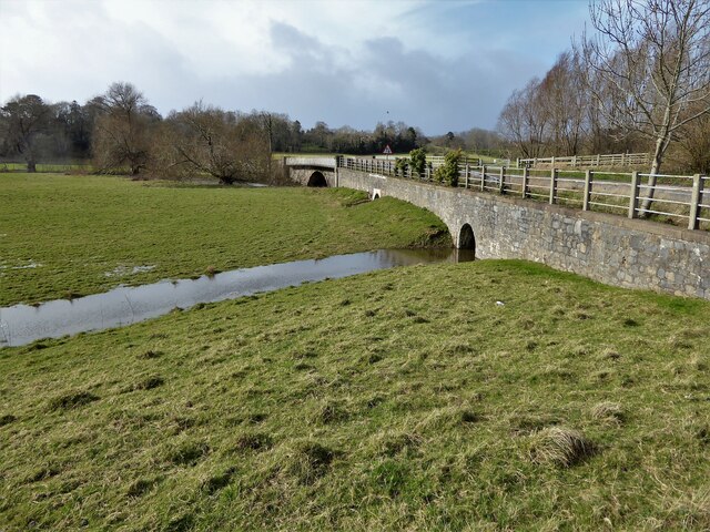
Coed Maes Robert is a picturesque woodland located in Flintshire, a county in northeast Wales. Nestled in the beautiful countryside, this forest is spread across a sprawling area, providing a serene and tranquil environment for visitors to enjoy.
The woodland is predominantly made up of native trees such as oak, birch, beech, and pine, creating a diverse and vibrant ecosystem. The dense canopy of the trees provides ample shade, making it a perfect destination for nature enthusiasts and hikers, especially during the warmer months.
Coed Maes Robert offers a network of well-maintained walking trails, allowing visitors to explore the forest's natural beauty at their own pace. These trails cater to various difficulty levels, accommodating both leisurely strolls and more challenging hikes. Along the way, visitors may encounter a wide range of wildlife, including deer, squirrels, and a variety of bird species, making it a haven for nature lovers and birdwatchers.
The forest also boasts a picnic area, providing a scenic spot for families and friends to relax and enjoy a meal amidst nature. Additionally, Coed Maes Robert offers educational opportunities, with organized events and guided walks that provide insights into the woodland's flora, fauna, and conservation efforts.
Whether you are seeking a peaceful escape from the hustle and bustle of daily life or an opportunity to connect with the natural world, Coed Maes Robert in Flintshire is a destination worth exploring. Its enchanting beauty and diverse ecosystem make it a must-visit location for anyone craving a connection with nature.
If you have any feedback on the listing, please let us know in the comments section below.
Coed Maes Robert Images
Images are sourced within 2km of 53.272762/-3.4131352 or Grid Reference SJ0576. Thanks to Geograph Open Source API. All images are credited.


Coed Maes Robert is located at Grid Ref: SJ0576 (Lat: 53.272762, Lng: -3.4131352)
Unitary Authority: Denbighshire
Police Authority: North Wales
What 3 Words
///rollover.entire.smiling. Near Cwm, Denbighshire
Nearby Locations
Related Wikis
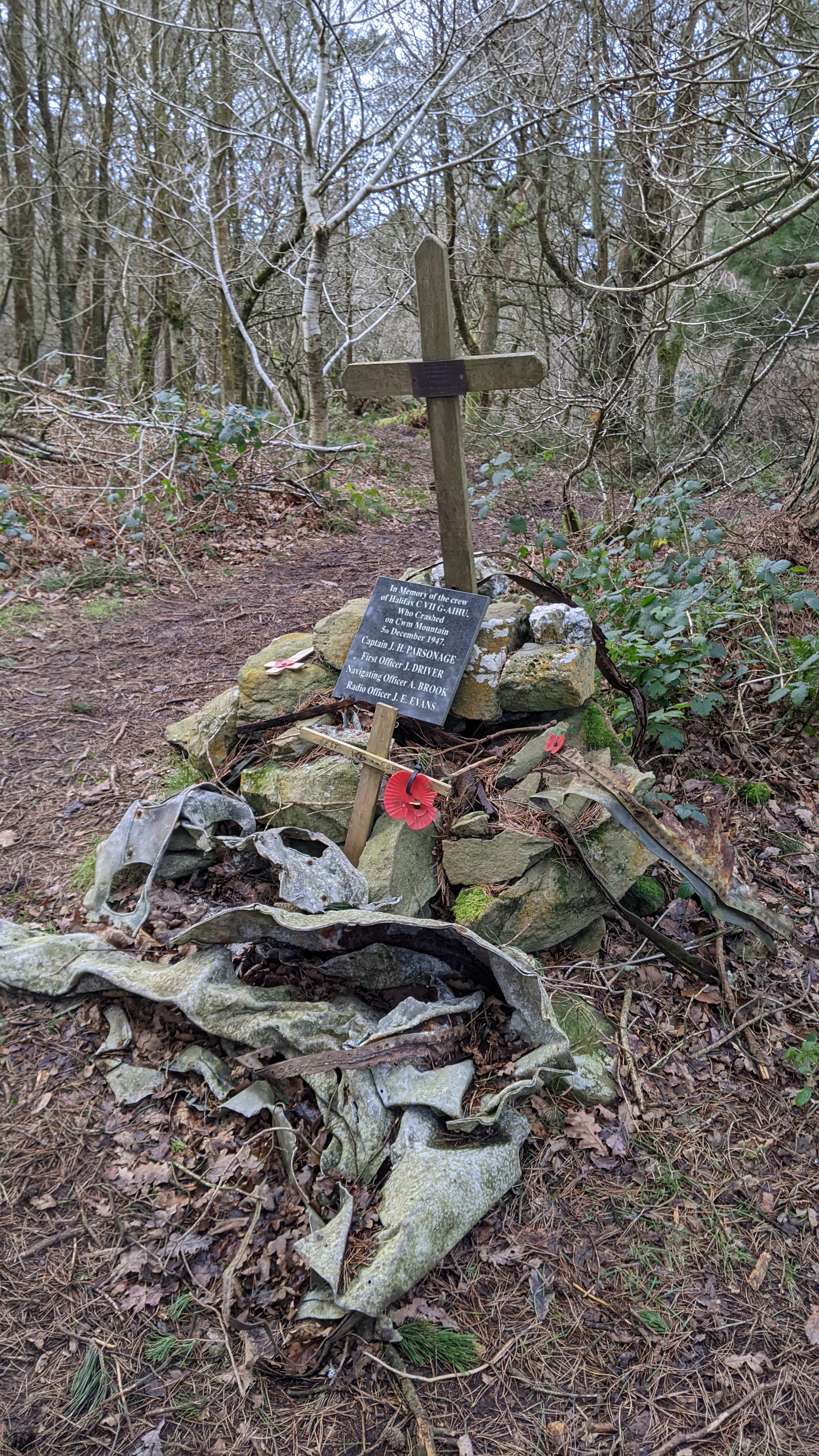
Mynydd y Cwm
Mynydd y Cwm is a hill in the Clwydian Range in Denbighshire, North Wales. It reaches a height of 304.8 metres (1,000 feet). It has recently been promoted...
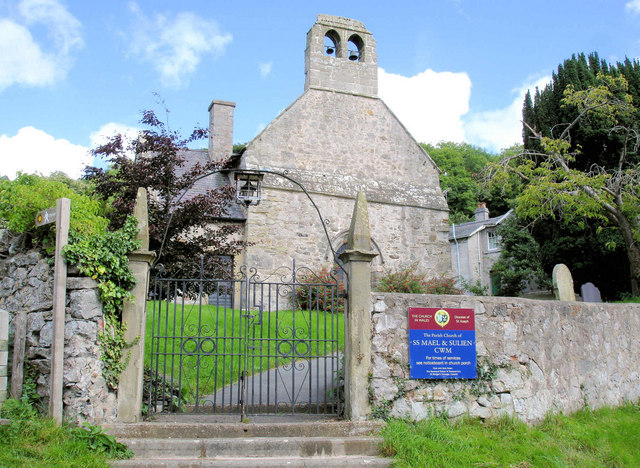
Cwm, Denbighshire
Cwm is a village and community in Denbighshire, below the hill Mynydd y Cwm. The church in Cwm is dedicated to two 6th-century saints, St Mael and St Sulien...

Vale of Clwyd (UK Parliament constituency)
The Vale of Clwyd (Welsh: Dyffryn Clwyd) is a constituency of the House of Commons of the UK Parliament created in 1997 and represented since 2019 by James...
Rhuallt
Rhuallt is a village in Denbighshire, Wales. The village is situated approximately 5 mi (8.0 km) south of Prestatyn and 2 mi (3.2 km) east of St Asaph...

Moel Hiraddug
Moel Hiraddug, also known as Y Foel, is a hill fort and hill in the Clwydian Range of north-east Wales. The northern part of the hill has been eaten away...

St Asaph railway station
St Asaph railway station served the city of St Asaph in Denbighshire, Wales. It was opened by the Vale of Clwyd Railway (later absorbed into the London...

St Asaph
St Asaph (; Welsh: Llanelwy [ɬanˈɛlʊɨ̯] "church on the Elwy") is a city and community on the River Elwy in Denbighshire, Wales. In the 2011 Census it had...

Diocese of St Asaph
The Diocese of Saint Asaph is a diocese of the Church in Wales in north-east Wales, named after Saint Asaph, its second bishop. == Geography == The Anglican...
Nearby Amenities
Located within 500m of 53.272762,-3.4131352Have you been to Coed Maes Robert?
Leave your review of Coed Maes Robert below (or comments, questions and feedback).