Coed Cefn-golau

Wood, Forest in Montgomeryshire

Wales

Coed Cefn-golau

Four Crosses on the A458
Four Crosses on the A458 Credit: John Firth

Coed Cefn-golau, located in Montgomeryshire, Wales, is a breathtaking woodland area known for its natural beauty and diverse wildlife. The term "Coed Cefn-golau" translates to "Wood, Forest" in English, accurately describing the essence and character of this enchanting destination.

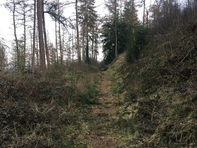
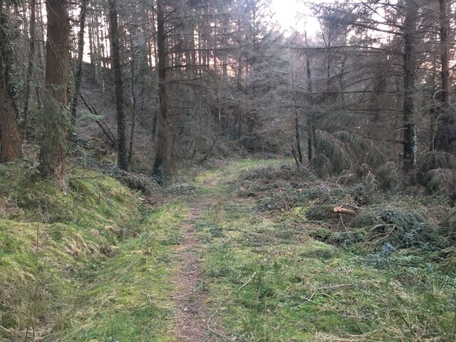
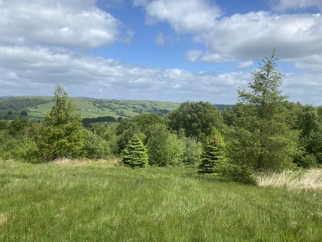
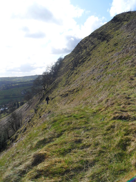
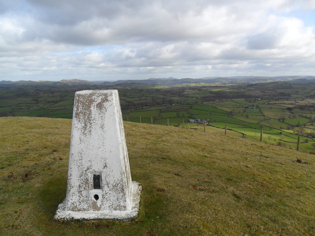
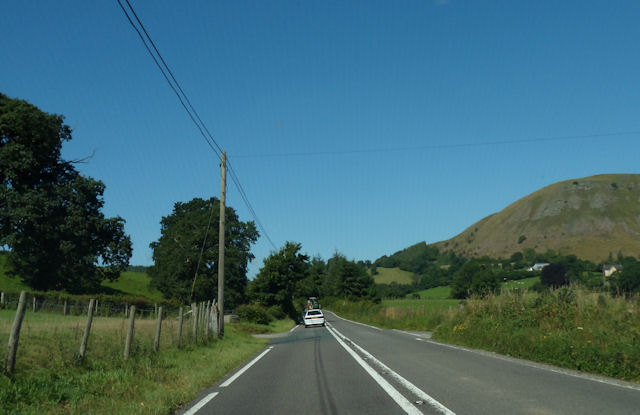
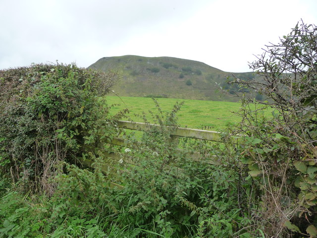
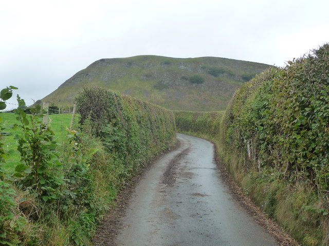
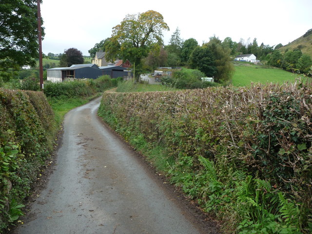
The woodland is situated on a hill, which offers visitors stunning panoramic views of the surrounding countryside. The area is primarily covered by native deciduous trees, including oak, beech, and birch, creating a vibrant and ever-changing landscape throughout the year. These trees provide a haven for a wide range of flora and fauna, making Coed Cefn-golau a popular spot for nature enthusiasts and wildlife photographers.

Walking trails crisscross the woodland, allowing visitors to explore its hidden treasures at their leisure. These paths wind through ancient woodlands, past babbling brooks and moss-covered rocks, creating a tranquil and serene atmosphere. Along the way, hikers may encounter a variety of wildlife, including red squirrels, badgers, and a multitude of bird species.

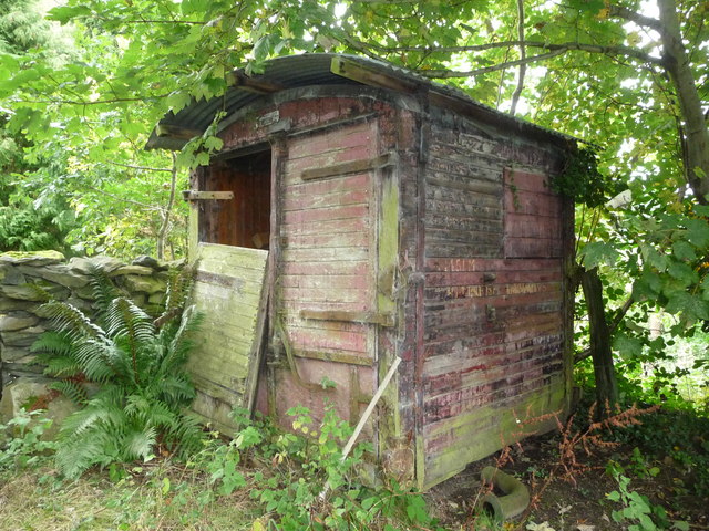
Coed Cefn-golau also boasts a rich cultural history. The woodland has been a source of timber for centuries, and remnants of old sawmills and charcoal pits can still be found within its boundaries. This historical significance adds an extra layer of fascination to the already captivating natural environment.

Whether one seeks solitude amidst the trees or an opportunity to immerse themselves in nature's wonders, Coed Cefn-golau provides an idyllic setting for all to enjoy. Its combination of breathtaking views, diverse wildlife, and rich history make it a must-visit destination for anyone exploring Montgomeryshire.

If you have any feedback on the listing, please let us know in the comments section below.

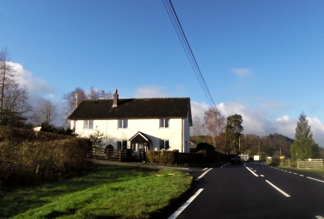
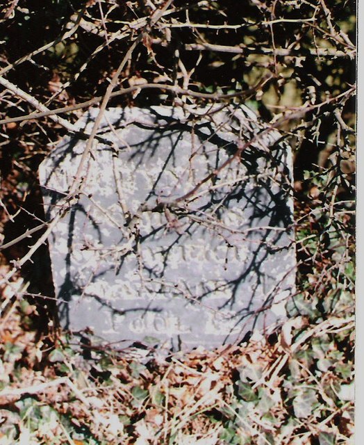
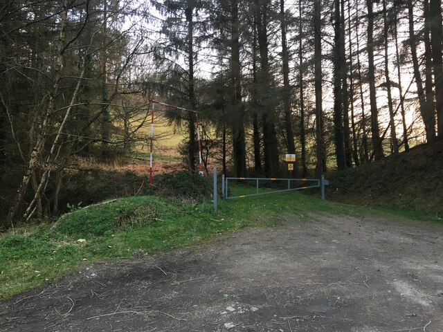
Coed Cefn-golau Images

Images are sourced within 2km of 52.665733/-3.3948726 or Grid Reference SJ0508. Thanks to Geograph Open Source API. All images are credited.

Four Crosses on the A458
Old Milestone by the A458, east of Four Crosses, Llanfair Caereinion Parish Machynlleth Chamfer by the A458, in parish of Llanfair Caereinion (Powys District), South East of Gelli, North of Pentyrch, in bank.

Inscription reads:-
MACHYNLLETH 26
CAN OFFICE 3
LLANFAIR 4
POOL 12

Surveyed

Milestone Society National ID: MOT_MCWP26
Old Milestone by the A458, east of Four Crosses, Llanfair Caereinion Parish
Machynlleth Chamfer by the A458, in parish of Llanfair Caereinion (Powys District), South East of Gelli, North of Pentyrch, in bank. Inscription reads:- MACHYNLLETH 26 CAN OFFICE 3 LLANFAIR 4 POOL 12 Surveyed Milestone Society National ID: MOT_MCWP26
Forestry entrance to Coed Ffridd-y-drum
Path in Coed Ffridd-y-drum
Path in Coed Ffordd-y-Drum
A458 east of Llanerfyl
New plantation South of Llanerfyl.
New plantation
South of Llanerfyl.
A458 towards Welshpool
Steep path on east slope of Moel Bentyrch Narrow and steep vertigo inducing path up the side of Moel Bentyrch. A tempting nugget from the nearby A458.
Steep path on east slope of Moel Bentyrch
Narrow and steep vertigo inducing path up the side of Moel Bentyrch. A tempting nugget from the nearby A458.
Trig point atop Moel Bentyrch Early spring afternoon's romp up nearby Moel Bentyrch.  This little hill has beckoned us for some time now.  Looking north-east - the high point on the horizon is the Breiddens, to the left of that, and nearer is Allt-y-Main behind Meifod.  NB to walkers.  At the foot of this hill there runs a bridleway - north to the Banwy, around the Bentyrch massif and then anti-clockwise past Tan-y-Foel back to the A458.  IT IS DESPERATELY in need of walkers/horses to keep it open.
Trig point atop Moel Bentyrch
Early spring afternoon's romp up nearby Moel Bentyrch. This little hill has beckoned us for some time now. Looking north-east - the high point on the horizon is the Breiddens, to the left of that, and nearer is Allt-y-Main behind Meifod. NB to walkers. At the foot of this hill there runs a bridleway - north to the Banwy, around the Bentyrch massif and then anti-clockwise past Tan-y-Foel back to the A458. IT IS DESPERATELY in need of walkers/horses to keep it open.
A458 at junction for Hendre Just east of Four Crosses. The track on the left is the entrance to Pentyrch
A458 at junction for Hendre
Just east of Four Crosses. The track on the left is the entrance to Pentyrch
A458 approaching Four Crosses
A458 at entrance to Ffridd-y-Drum
A458 at entrance to Bluebell Park
View to Moel Bentyrch from lane near Cefndre farm This rounded and crag topped hill has often caught my eye.
View to Moel Bentyrch from lane near Cefndre farm
This rounded and crag topped hill has often caught my eye.
Lane near Moel Bentyrch A bendy lane on upland near this domed hill.
Lane near Moel Bentyrch
A bendy lane on upland near this domed hill.
Gelli below Moel Bentyrch A small cluster of farm buildings.
Gelli below Moel Bentyrch
A small cluster of farm buildings.
Old British Railways wagon shed below Moel Bentyrch Is it half a wagon or an old BR trackside shed? Anyway now a log store.
Old British Railways wagon shed below Moel Bentyrch
Is it half a wagon or an old BR trackside shed? Anyway now a log store.
Show me another place!

Coed Cefn-golau is located at Grid Ref: SJ0508 (Lat: 52.665733, Lng: -3.3948726)

Unitary Authority: Powys

Police Authority: Dyfed Powys

What 3 Words

///casino.reference.sulk. Near Llangadfan, Powys

Related Wikis

Four Crosses, Llanfair Caereinion

Four Crosses is a hamlet located west of Llanfair Caereinion in Powys, Wales. It is situated off the A458 between Llanfair Caereinion and Mallwyd. The...

Llanerfyl

Llanerfyl is a village and community in Montgomeryshire, Powys, Wales. Located near the River Banwy, the community includes the village of Llanerfyl, several...

Dolanog

Dolanog () or Pont Dolanog is an ecclesiastical parish or chapelry that was formed in October 1856. It comprises the townships of Dolwar in Llanfihangel...

Caereinion High School

Caereinion High School (Welsh: Ysgol Uwchradd Caereinion) is an 11–18 mixed, bilingual community secondary school and sixth form in Llanfair Caereinion...

Nearby Amenities

Located within 500m of 52.665733,-3.3948726
Post Box
Ref: SY21 47
Source: survey
Lat/Long: 52.6697049/-3.3955764
Place: farm
Lat/Long: 52.6664529/-3.3901133
Building: yes
Lat/Long: 52.6662888/-3.3991213
Building: yes
Lat/Long: 52.6657422/-3.4002049
The data included in this document is from www.openstreetmap.org. The data is made available under ODbL.

Have you been to Coed Cefn-golau?

Leave your review of Coed Cefn-golau below (or comments, questions and feedback).