Coed Caelili
Wood, Forest in Montgomeryshire
Wales
Coed Caelili
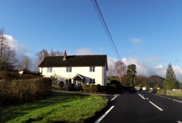
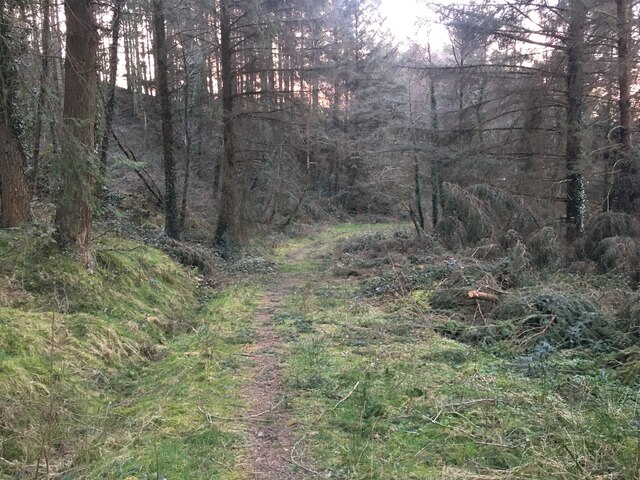
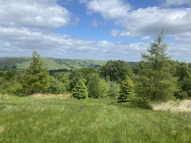
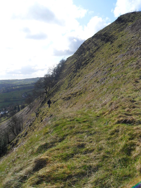
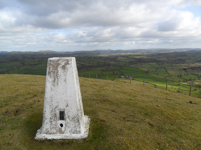
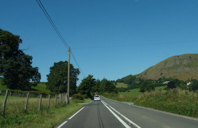
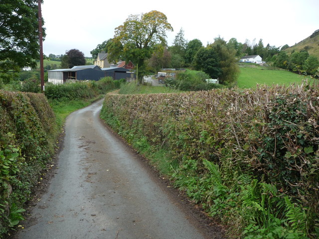
Coed Caelili, located in Montgomeryshire, is a picturesque woodland area known for its natural beauty and rich biodiversity. Spanning across a vast area, this forest is a haven for nature enthusiasts and outdoor adventurers.
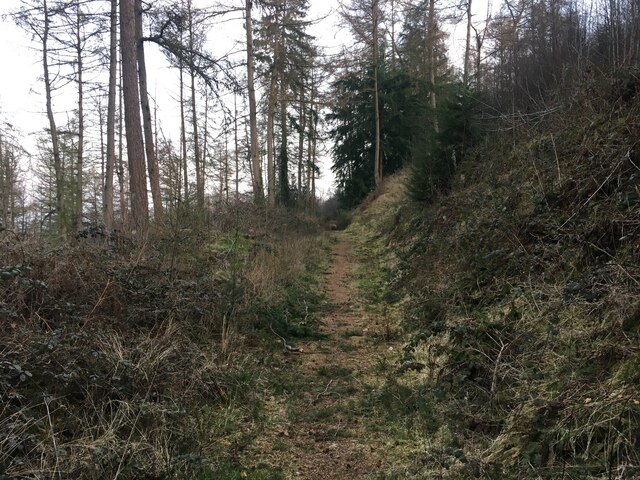
The woodland is characterized by a diverse range of tree species, including oak, beech, ash, and birch, creating a canopy that provides shade and shelter for numerous wildlife species. The forest floor is adorned with a vibrant carpet of wildflowers, ferns, and mosses, adding to the enchanting atmosphere.
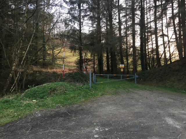
Coed Caelili offers a plethora of recreational activities for visitors to enjoy. There are several well-maintained walking trails that wind through the forest, allowing visitors to explore its hidden gems. These trails vary in difficulty, accommodating both casual strollers and more experienced hikers. Along the way, visitors may encounter various wildlife species, such as squirrels, rabbits, and a variety of bird species.
For those seeking a more immersive experience, Coed Caelili offers camping facilities, allowing visitors to spend the night under the starry skies. The peaceful ambiance and tranquility of the forest make it an ideal location for relaxation and rejuvenation.
The forest also plays an important role in conservation efforts, as it provides a habitat for endangered species and contributes to maintaining the region's ecological balance. Local organizations and authorities work together to preserve and protect Coed Caelili's unique ecosystem.
Overall, Coed Caelili is a hidden gem in Montgomeryshire, offering a natural retreat for those seeking solace in the embrace of nature. Whether it's a leisurely stroll, an adventurous hike, or simply a desire to reconnect with nature, this woodland destination has something to offer for everyone.
If you have any feedback on the listing, please let us know in the comments section below.
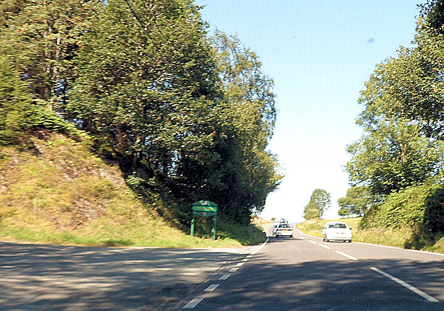
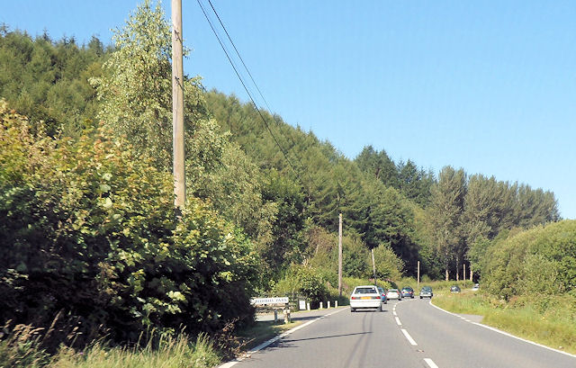
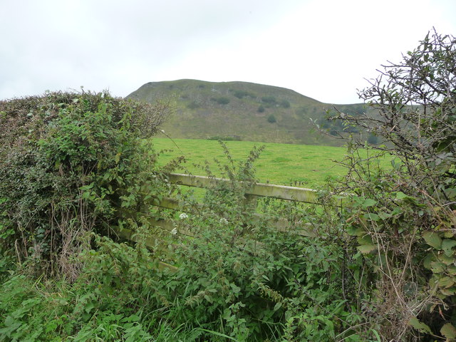
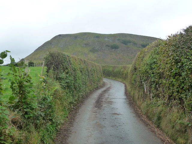
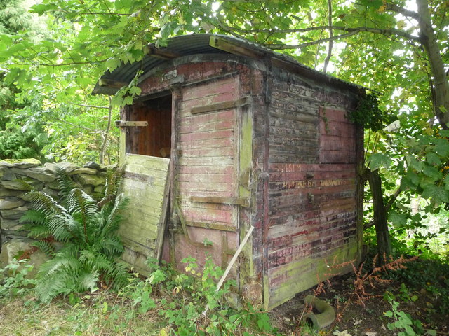
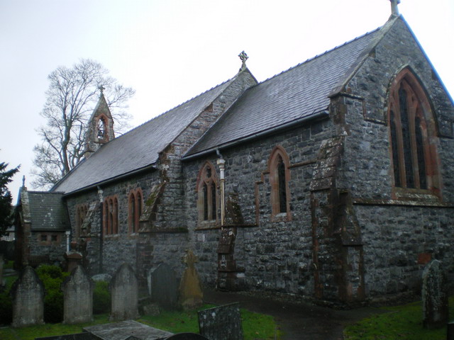
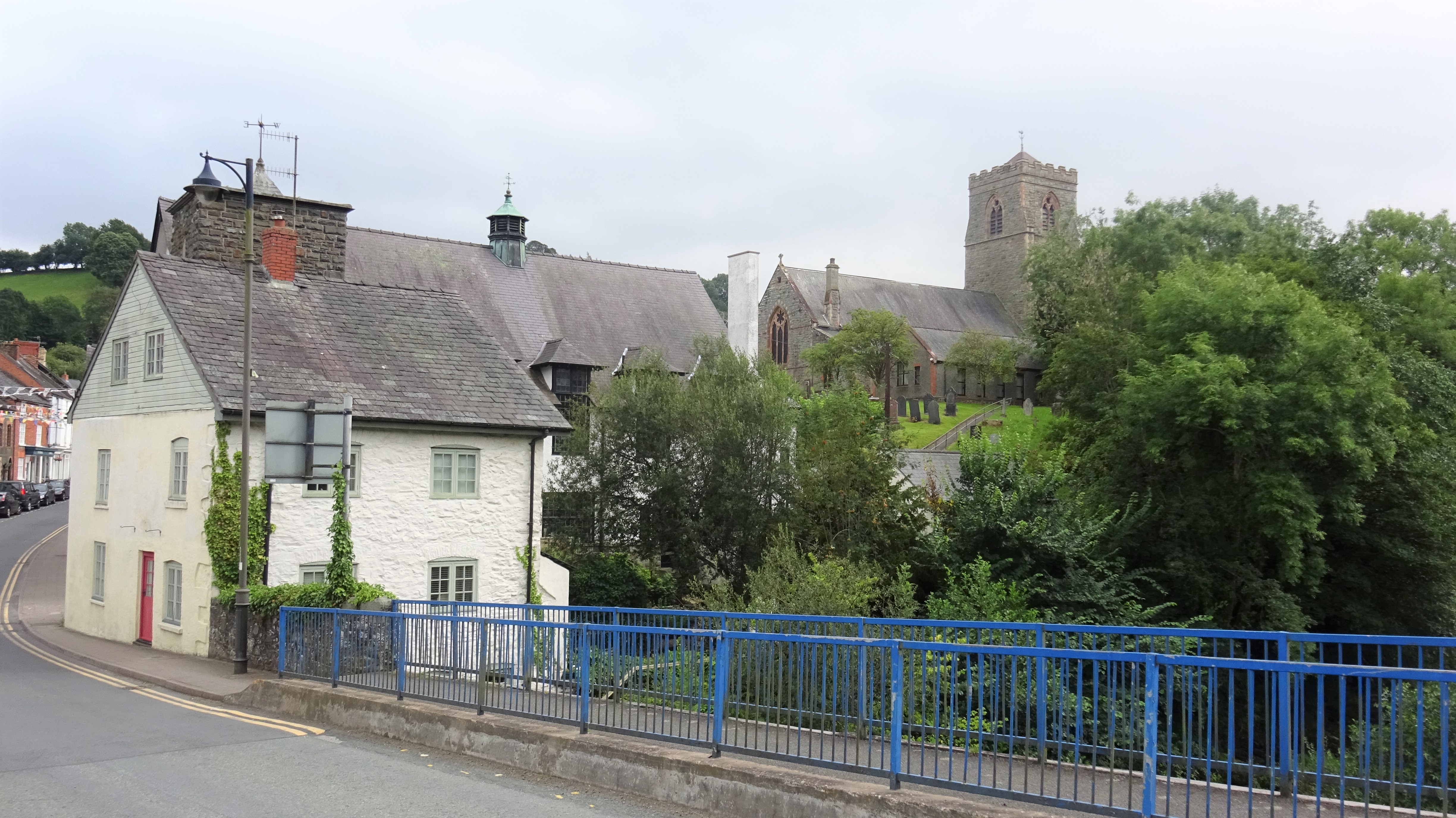
Coed Caelili Images
Images are sourced within 2km of 52.663122/-3.3989741 or Grid Reference SJ0508. Thanks to Geograph Open Source API. All images are credited.
Coed Caelili is located at Grid Ref: SJ0508 (Lat: 52.663122, Lng: -3.3989741)
Unitary Authority: Powys
Police Authority: Dyfed Powys
What 3 Words
///beakers.recently.struggle. Near Llangadfan, Powys
Nearby Locations
Related Wikis

Four Crosses, Llanfair Caereinion
Four Crosses is a hamlet located west of Llanfair Caereinion in Powys, Wales. It is situated off the A458 between Llanfair Caereinion and Mallwyd. The...
Llanerfyl
Llanerfyl is a village and community in Montgomeryshire, Powys, Wales. Located near the River Banwy, the community includes the village of Llanerfyl, several...

Dolanog
Dolanog () or Pont Dolanog is an ecclesiastical parish or chapelry that was formed in October 1856. It comprises the townships of Dolwar in Llanfihangel...

Montgomeryshire (Senedd constituency)
Montgomeryshire (Welsh: Sir Drefaldwyn) is a constituency of the Senedd. It elects one Member of the Senedd by the first past the post method of election...

Llangadfan
Llangadfan is a small village in Powys, Wales, based in the community of Banwy. The village lies on the A458 between Foel and Llanerfyl, 12 kilometres...

Caereinion High School
Caereinion High School (Welsh: Ysgol Uwchradd Caereinion) is an 11–18 mixed, bilingual community secondary school and sixth form in Llanfair Caereinion...
Llanfair Caereinion
Llanfair Caereinion is a market town and community in Montgomeryshire, Powys, Wales upon the River Banwy (also known as the River Einion), around 8 miles...

Battle of Maes Moydog
The Battle of Maes Moydog took place at the field of Moydog (Welsh: Maidog, also Meidiog) on 5 March 1295 during the revolt of Madog ap Llywelyn and others...
Nearby Amenities
Located within 500m of 52.663122,-3.3989741Have you been to Coed Caelili?
Leave your review of Coed Caelili below (or comments, questions and feedback).