Allt
Settlement in Carmarthenshire
Wales
Allt
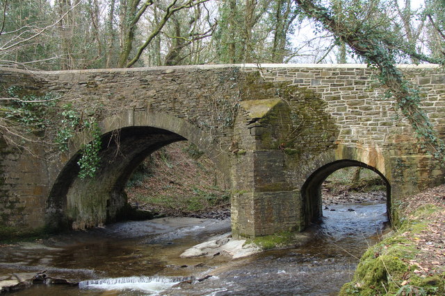
Allt is a small village located in the county of Carmarthenshire, Wales. Nestled in the picturesque countryside, it is situated about 6 miles northeast of the town of Kidwelly and 13 miles southwest of the county town, Carmarthen. The village is surrounded by lush green fields and rolling hills, offering stunning views of the Welsh countryside.
The population of Allt is relatively small, with approximately 200 residents. The village has a close-knit community atmosphere, with a strong sense of community spirit. The local primary school, Allt Primary School, plays a central role in the village, providing education for the children of the area.
Allt is well-connected to the surrounding areas by road, with easy access to the A484 and A4138. This makes it convenient for residents to commute to nearby towns and cities for work or leisure activities.
Although Allt is a primarily residential area, there are a few amenities within the village. These include a local pub, which serves as a hub for socializing and community gatherings. Additionally, there are a few small businesses and shops catering to the needs of the residents.
Overall, Allt offers a peaceful and idyllic setting for those seeking a rural lifestyle. Its stunning natural beauty, strong sense of community, and convenient location make it an attractive place to live for many residents in Carmarthenshire.
If you have any feedback on the listing, please let us know in the comments section below.
Allt Images
Images are sourced within 2km of 51.700196/-4.093007 or Grid Reference SN5502. Thanks to Geograph Open Source API. All images are credited.


Allt is located at Grid Ref: SN5502 (Lat: 51.700196, Lng: -4.093007)
Unitary Authority: Carmarthenshire
Police Authority: Dyfed Powys
What 3 Words
///result.drama.slip. Near Pontarddulais, Swansea
Nearby Locations
Related Wikis

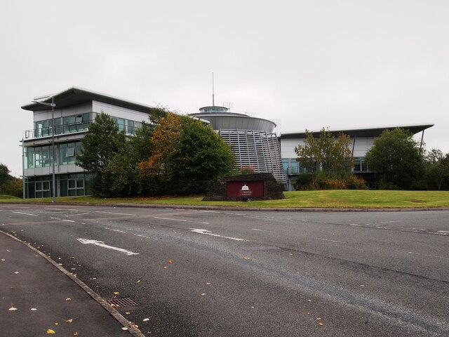
Llangennech
Llangennech ([ɬæn'ɡenƏx]()) is a village and community in the area of Llanelli, Carmarthenshire, Wales, which covers an area of 1,222 hectares (4.72 sq...
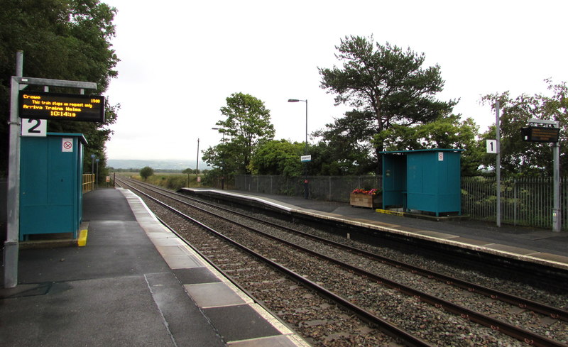
Llangennech railway station
Llangennech railway station is a railway station in the village of Llangennech. It lies on the Heart of Wales line with services operated by Transport...

Llangennech derailment
On 26 August 2020 a freight train carrying diesel fuel and gas oil in tank wagons derailed at Morlais Junction, Llangennech, Carmarthenshire, Wales. Some...

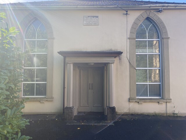
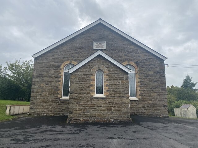
Bryn, Llanelli
Bryn (locally known using the Welsh: Y Bryn; meaning: "the Hill") is a village situated east of Llanelli in Carmarthenshire, Wales. It is part of the Llanelli...
Afon Morlais
The Afon Morlais is a small river in south Wales, a tributary of the River Loughor. It rises in the village of Cross Hands and then flows southwards through...

St Michael's School, Llanelli
St. Michael's School (Welsh: Ysgol Mihangel Sant) is a private day and boarding school for pupils aged from 3 to 18 years old in Llanelli, Wales. The school...
Pen-y-graig, Carmarthenshire
Pen-y-graig, also spelled Penygraig (), is an area of Llanelli, in Carmarthenshire, Wales, bordering with Bynea, Llwynhendy, and Bryn all of which are...
Penceilogi
Penceilogi is a small village on the northern outskirts of Llanelli, Carmarthenshire, Wales. It is bordered by Bryn to the east, Dafen to the north-west...
Nearby Amenities
Located within 500m of 51.700196,-4.093007Have you been to Allt?
Leave your review of Allt below (or comments, questions and feedback).