Clos-bach Wood
Wood, Forest in Flintshire
Wales
Clos-bach Wood

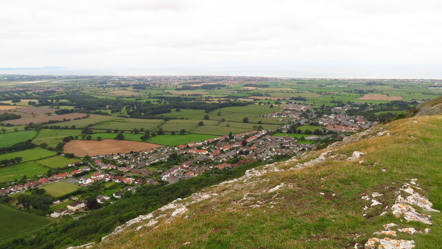
Clos-bach Wood is a picturesque woodland located in Flintshire, Wales. Covering an area of approximately 20 hectares, it is a popular destination for nature lovers and outdoor enthusiasts. The wood is situated near the village of Cilcain, nestled within the Clwydian Range and Dee Valley Area of Outstanding Natural Beauty.
The wood boasts a diverse range of tree species, including oak, birch, beech, and ash, creating a rich and vibrant ecosystem. The dense canopy provides shelter for various wildlife, such as birds, squirrels, and deer. The woodland floor is adorned with a carpet of bluebells and other wildflowers during the spring, offering a stunning display of colors.
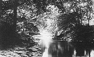
Visitors to Clos-bach Wood can enjoy a network of well-maintained footpaths and trails, allowing for leisurely walks and hikes through the woodland. The paths meander through the trees, offering glimpses of breathtaking views of the surrounding countryside. The wood is also intersected by a charming stream, adding to its natural beauty.
The wood is managed by the local authorities, ensuring the preservation of its natural heritage and the safety of visitors. There are picnic areas and benches strategically placed throughout the woodland, providing opportunities for relaxation and enjoying the peaceful atmosphere.
Clos-bach Wood is an ideal destination for nature enthusiasts seeking tranquility and a connection with the natural world. Whether it's a leisurely stroll, birdwatching, or simply enjoying a picnic amidst the beauty of the trees, this enchanting woodland offers a rewarding experience for visitors of all ages.
If you have any feedback on the listing, please let us know in the comments section below.
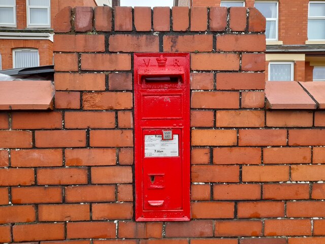
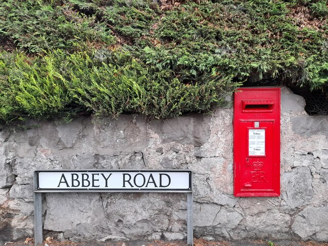
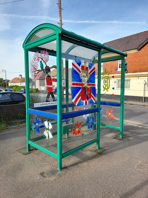
Clos-bach Wood Images
Images are sourced within 2km of 53.292636/-3.4321103 or Grid Reference SJ0478. Thanks to Geograph Open Source API. All images are credited.


Clos-bach Wood is located at Grid Ref: SJ0478 (Lat: 53.292636, Lng: -3.4321103)
Unitary Authority: Denbighshire
Police Authority: North Wales
What 3 Words
///celebrate.nightcap.refuses. Near Dyserth, Denbighshire
Nearby Locations
Related Wikis

Bodrhyddan Hall
Bodrhyddan Hall is a country house in Rhuddlan, Denbighshire, Wales. It is a Grade I listed building.The present building is a 1690s remodelling of an...
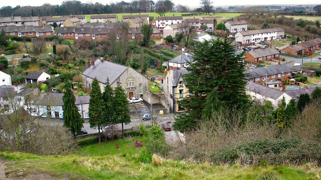
Dyserth
Dyserth (Welsh: Diserth) is a village, community and electoral ward in Denbighshire, Wales. Its population at the 2011 United Kingdom census was 2,269...
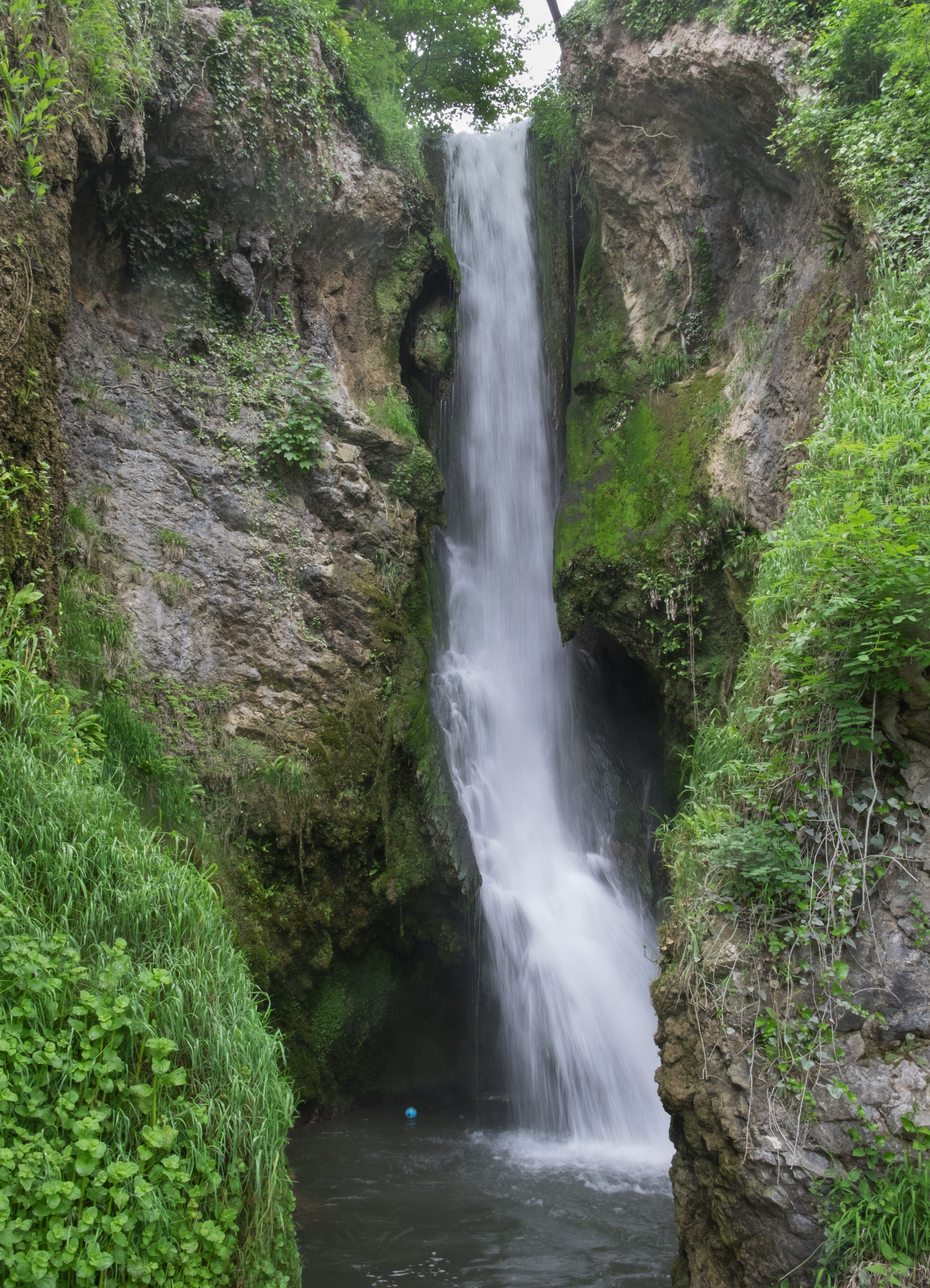
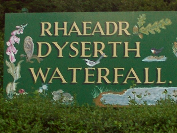
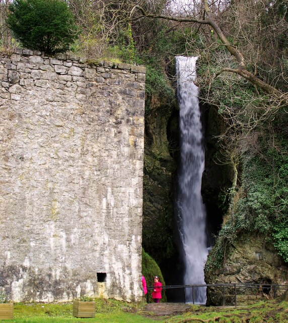
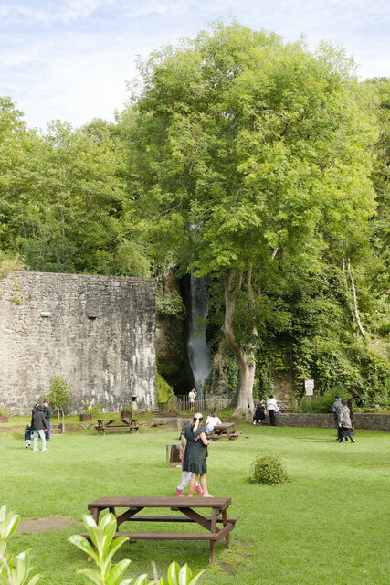
Dyserth Waterfall
Dyserth Waterfall is a waterfall in Dyserth, North Wales. The River Ffyddion, a tributary of the River Clwyd, falls down a 70-foot ledge creating the waterfall...
River Elwy
The River Elwy (Afon Elwy in Welsh) is a river in Wales forming a tributary to the River Clwyd. Though the source of the river may be on the northern flank...

Moel Hiraddug
Moel Hiraddug, also known as Y Foel, is a hill fort and hill in the Clwydian Range of north-east Wales. The northern part of the hill has been eaten away...
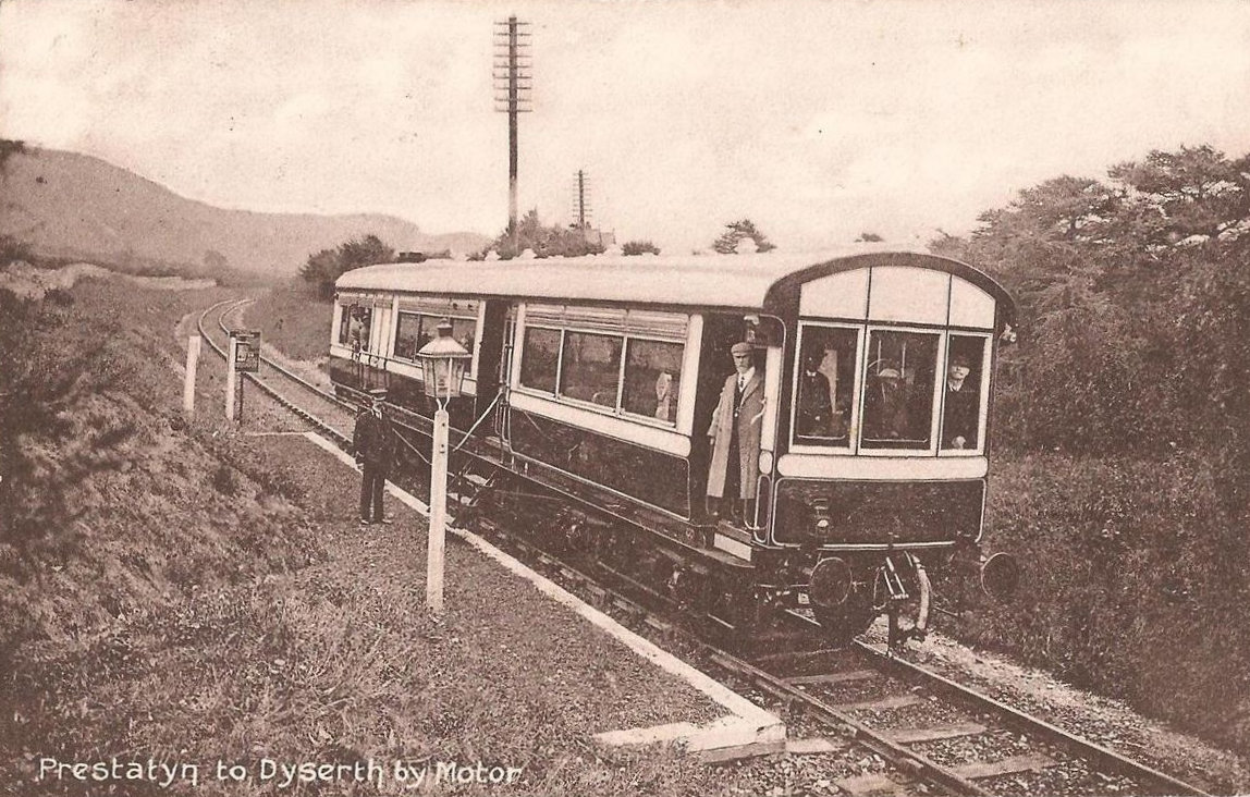
Dyserth railway station
Dyserth railway station served the village of Dyserth, Flintshire (now Denbighshire), Wales. It was the southern terminus of the 2 miles 70 chains (4.6...

Maes Hiraddug
Maes Hiraddug is a Site of Special Scientific Interest in the preserved county of Clwyd, north Wales. It is species-rich neutral grassland which includes...
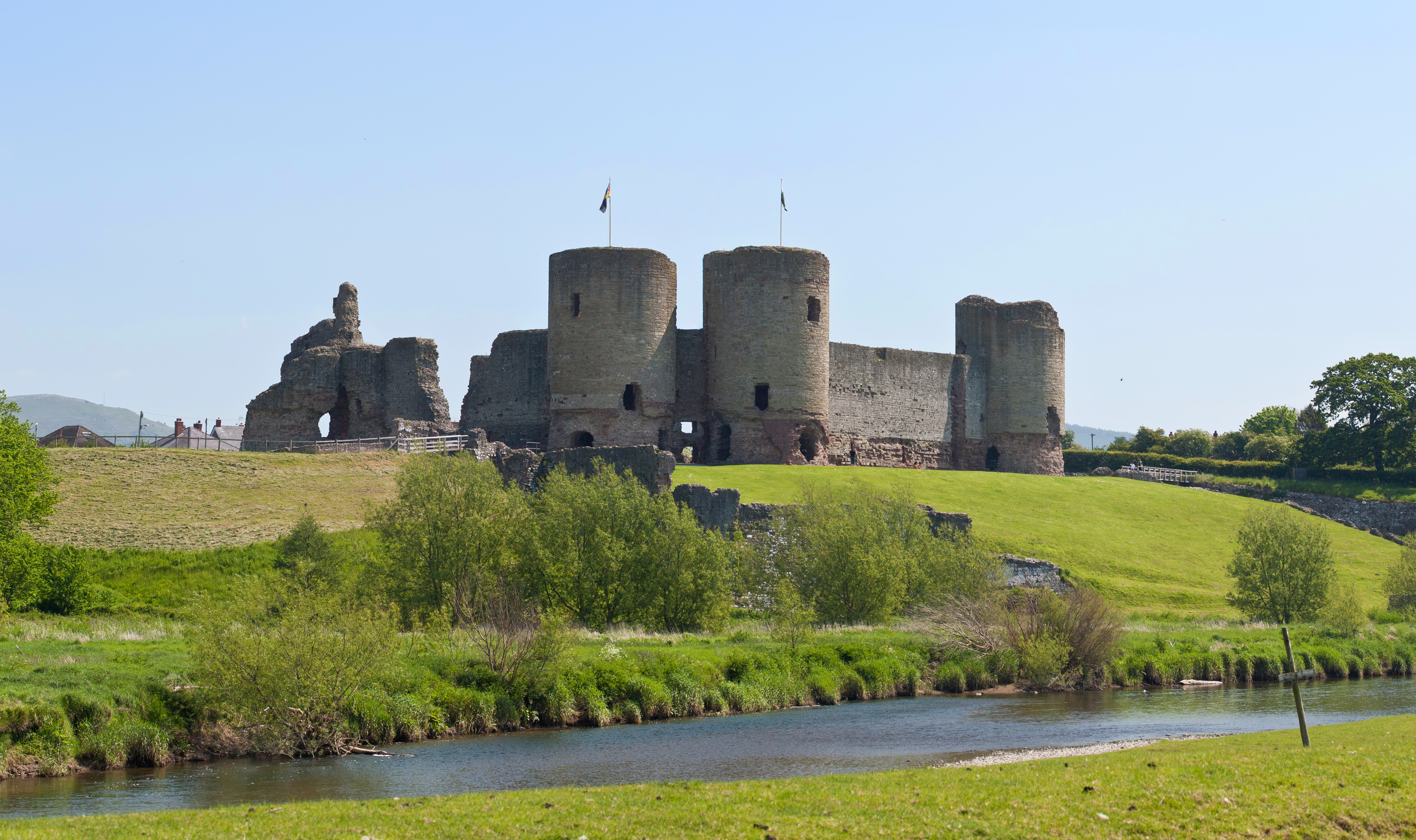
Rhuddlan
Rhuddlan (Welsh pronunciation: [ˈr̥ɨðlan]) is a town, community, and electoral ward in the county of Denbighshire, Wales, in the historic county of Flintshire...
Nearby Amenities
Located within 500m of 53.292636,-3.4321103Have you been to Clos-bach Wood?
Leave your review of Clos-bach Wood below (or comments, questions and feedback).