Bodrhyddan Hall
Heritage Site in Flintshire
Wales
Bodrhyddan Hall

Bodrhyddan Hall is a historic mansion located in the county of Flintshire, Wales. Situated in the picturesque countryside, the hall is a Grade I listed building and has been designated as a heritage site due to its architectural significance and rich history.
The hall dates back to the 17th century and has been home to the same family, the Conwys, for over 500 years. The building itself showcases a mix of architectural styles, with the original medieval structure being expanded and renovated over the years. The hall features a distinctive combination of Elizabethan, Georgian, and Victorian elements, making it a unique and visually striking property.
Visitors to Bodrhyddan Hall can explore the grand reception rooms, which are adorned with period furniture, magnificent tapestries, and an extensive collection of artwork. The hall's well-preserved gardens are also a highlight, with formal lawns, beautiful flower beds, and a tranquil woodland area. The gardens offer panoramic views of the surrounding countryside and provide a serene setting for a leisurely stroll or a picnic.
The hall is open to the public for guided tours, providing visitors with an opportunity to learn about the history and heritage of the Conwy family. Additionally, Bodrhyddan Hall hosts various events throughout the year, including music concerts, craft fairs, and garden festivals, attracting both locals and tourists alike.
Overall, Bodrhyddan Hall is a captivating heritage site that offers a glimpse into the past, showcasing a blend of architectural styles and providing a tranquil oasis for visitors to enjoy.
If you have any feedback on the listing, please let us know in the comments section below.
Bodrhyddan Hall Images
Images are sourced within 2km of 53.295/-3.433 or Grid Reference SJ0478. Thanks to Geograph Open Source API. All images are credited.


Bodrhyddan Hall is located at Grid Ref: SJ0478 (Lat: 53.295, Lng: -3.433)
Unitary Authority: Denbighshire
Police Authority: North Wales
What 3 Words
///songbook.tend.reunion. Near Dyserth, Denbighshire
Nearby Locations
Related Wikis

Bodrhyddan Hall
Bodrhyddan Hall is a country house in Rhuddlan, Denbighshire, Wales. It is a Grade I listed building.The present building is a 1690s remodelling of an...
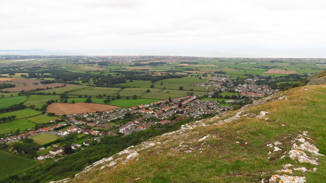
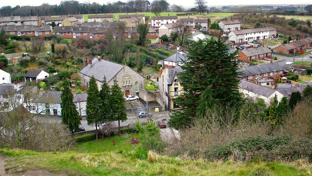
Dyserth
Dyserth (Welsh: Diserth) is a village, community and electoral ward in Denbighshire, Wales. Its population at the 2011 United Kingdom census was 2,269...
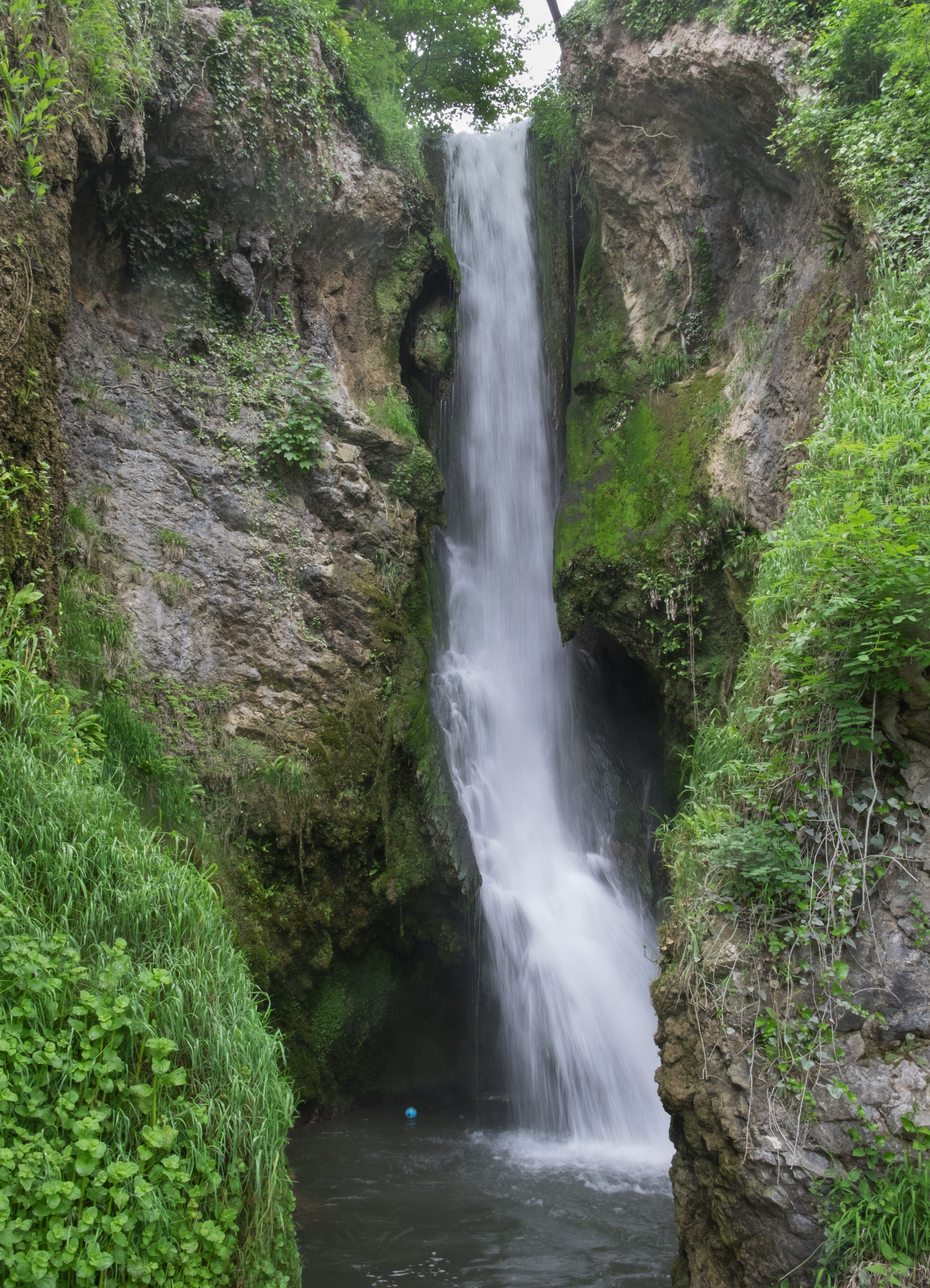
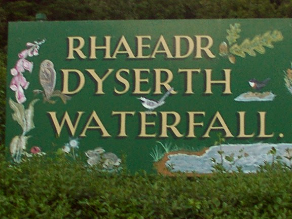
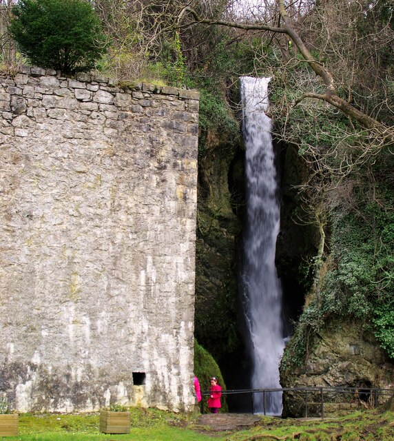
Dyserth Waterfall
Dyserth Waterfall is a waterfall in Dyserth, North Wales. The River Ffyddion, a tributary of the River Clwyd, falls down a 70-foot ledge creating the waterfall...
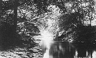
River Elwy
The River Elwy (Afon Elwy in Welsh) is a river in Wales forming a tributary to the River Clwyd. Though the source of the river may be on the northern flank...

Moel Hiraddug
Moel Hiraddug, also known as Y Foel, is a hill fort and hill in the Clwydian Range of north-east Wales. The northern part of the hill has been eaten away...
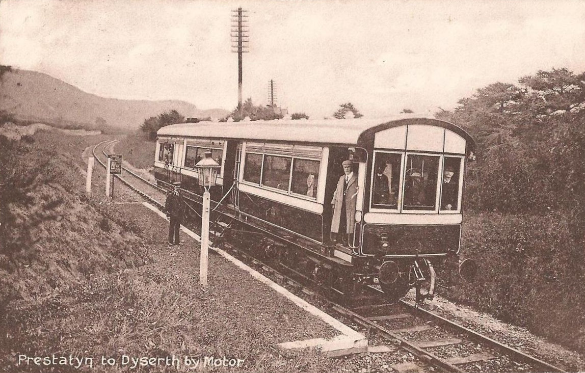
Dyserth railway station
Dyserth railway station served the village of Dyserth, Flintshire (now Denbighshire), Wales. It was the southern terminus of the 2 miles 70 chains (4.6...

Maes Hiraddug
Maes Hiraddug is a Site of Special Scientific Interest in the preserved county of Clwyd, north Wales. It is species-rich neutral grassland which includes...
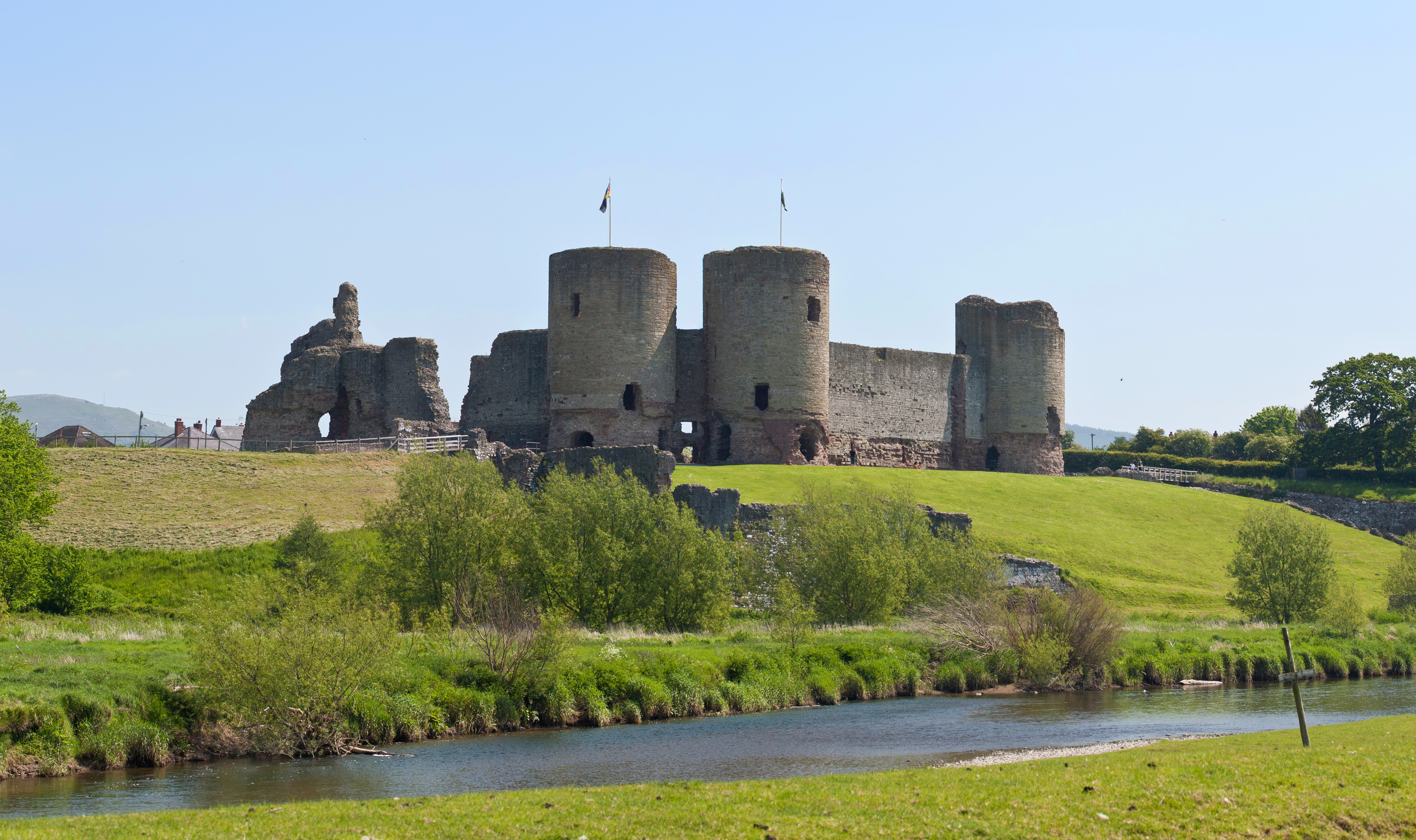
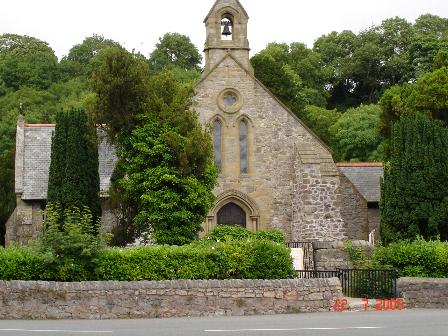
Rhuddlan
Rhuddlan (Welsh pronunciation: [ˈr̥ɨðlan]) is a town, community, and electoral ward in the county of Denbighshire, Wales, in the historic county of Flintshire...
Nearby Amenities
Located within 500m of 53.295,-3.433Have you been to Bodrhyddan Hall?
Leave your review of Bodrhyddan Hall below (or comments, questions and feedback).