Butterton

Settlement in Staffordshire Newcastle-under-Lyme

England

Butterton

Whitmore Church Whitmore Church in the charming village of Whitmore.
Whitmore Church Credit: Andy and Hilary

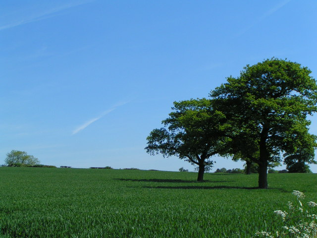
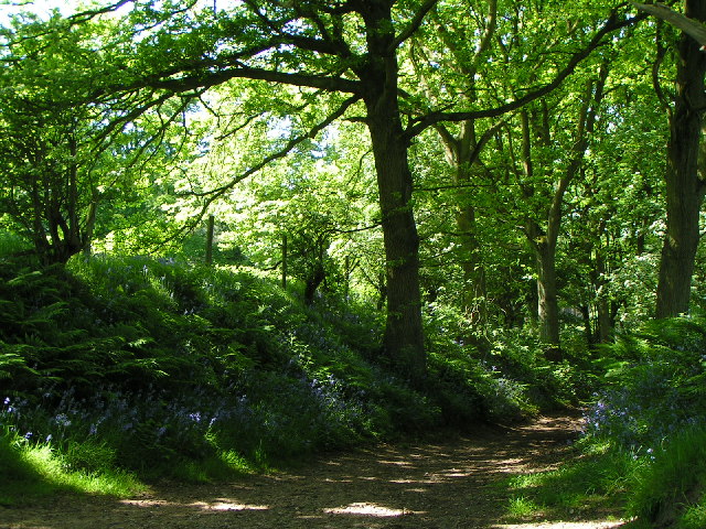
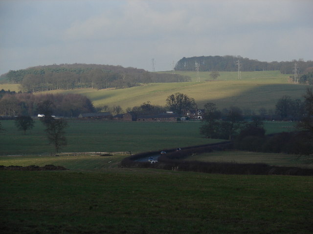
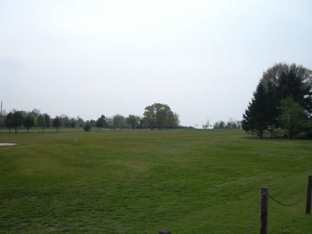
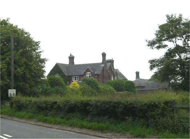
Butterton is a small village located in the county of Staffordshire, England. It is situated in the scenic countryside, approximately 11 miles north of the town of Stafford. The village is set within the Staffordshire Moorlands district and is surrounded by picturesque landscapes, with rolling hills and lush green fields.

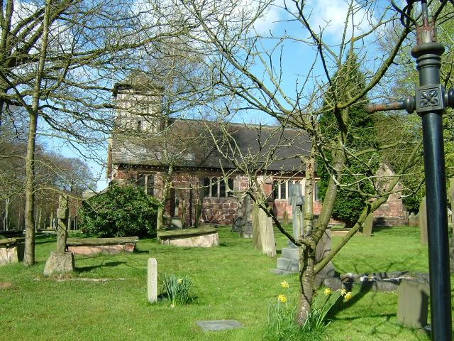
Historically, Butterton has a rich heritage dating back to the medieval period. The village is known for its charming stone-built houses and traditional architecture, which adds to its character and appeal. The local church, St. Bartholomew's, is an iconic landmark and dates back to the 13th century, showcasing the village's historical significance.

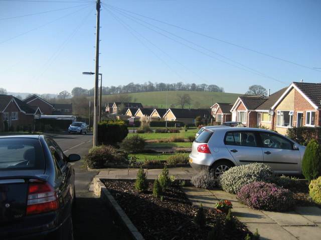
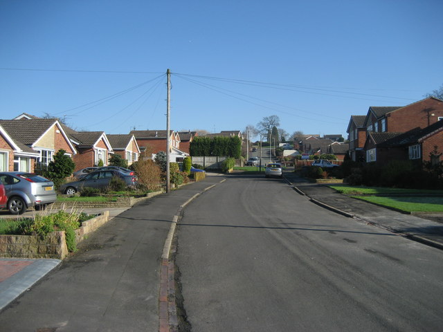
Despite its small size, Butterton offers a range of amenities and facilities for its residents. These include a primary school, a village hall, and a local pub, which serves as a social hub for the community. The village also benefits from a close-knit community spirit, with various events and activities organized throughout the year.

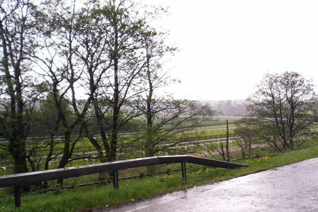
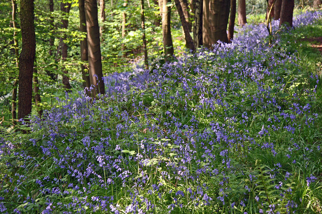
Butterton's location provides easy access to the surrounding countryside, making it an ideal place for outdoor enthusiasts. There are numerous walking and cycling trails nearby, allowing residents and visitors to explore the beautiful natural surroundings. The village is also within close proximity to the Peak District National Park, offering further opportunities for outdoor recreation.

Overall, Butterton is a tranquil village that offers a peaceful and idyllic lifestyle. Its historical charm, stunning landscapes, and strong sense of community make it an attractive place to live or visit for those seeking a rural retreat.

If you have any feedback on the listing, please let us know in the comments section below.
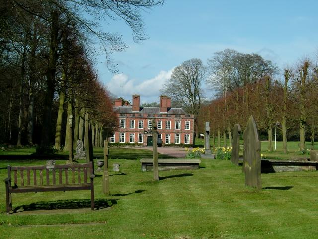
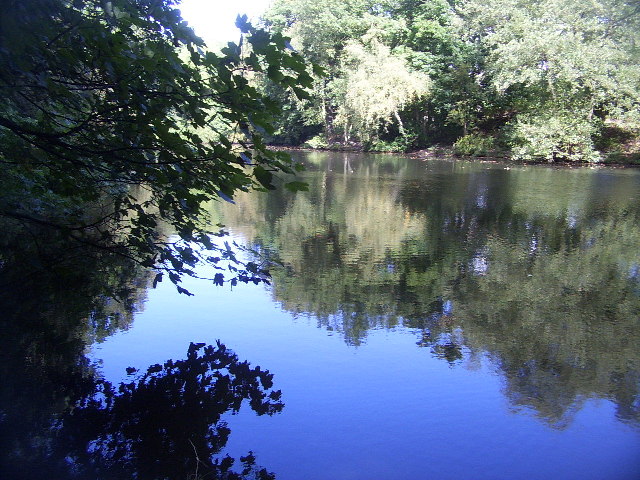
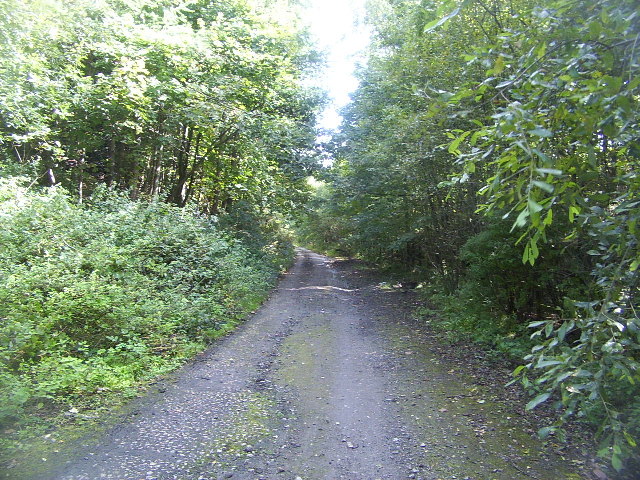
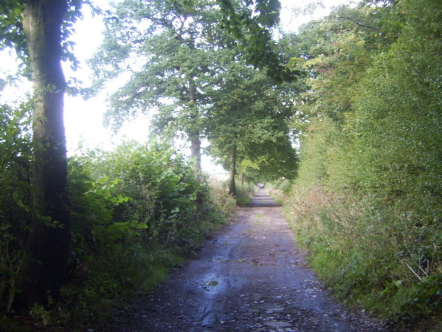
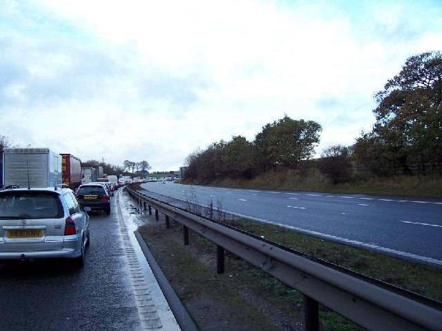
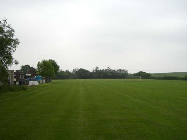
Butterton Images

Images are sourced within 2km of 52.980906/-2.253168 or Grid Reference SJ8342. Thanks to Geograph Open Source API. All images are credited.

Whitmore Church Whitmore Church in the charming village of Whitmore.
Whitmore Church
Whitmore Church in the charming village of Whitmore.
Whitmore Hall Picture taken from the grounds of Whitmore church
Whitmore Hall
Picture taken from the grounds of Whitmore church
View up the hill Taken from the lane running south-west from the village of Hanchurch
View up the hill
Taken from the lane running south-west from the village of Hanchurch
Woodland path - Hanchurch Hills
Pool near Keele Hall This is the lowermost of the ponds that extend south-east from Keele Hall <a href="https://www.geograph.org.uk/photo/14295">SJ8144 : Keele Hall, Keele</a> towards Springpool Wood. There are many possible walks around the area.
Pool near Keele Hall
This is the lowermost of the ponds that extend south-east from Keele Hall SJ8144 : Keele Hall, Keele towards Springpool Wood. There are many possible walks around the area.
The Lymes Road According to the 1940s map, this was originally a B-road, leading down to The Lymes, also in this square. Now it is only a loose-cobbled track running between Keele village and The Lymes. It also serves as a bridleway. Here is it seen just before it passes underneath the M6, which it now runs next to.
The Lymes Road
According to the 1940s map, this was originally a B-road, leading down to The Lymes, also in this square. Now it is only a loose-cobbled track running between Keele village and The Lymes. It also serves as a bridleway. Here is it seen just before it passes underneath the M6, which it now runs next to.
The Lymes Road More of The Lymes Road (see <a href="https://www.geograph.org.uk/gridref/SJ8243">SJ8243</a>), which runs between Keele village and The Lymes farm.
The Lymes Road
More of The Lymes Road (see SJ8243), which runs between Keele village and The Lymes farm.
M6 Northbound Congestion. Just after junction 15 north on Friday 2 Dec 2005 note the lack of traffic on the southbound carriageway.
M6 Northbound Congestion.
Just after junction 15 north on Friday 2 Dec 2005 note the lack of traffic on the southbound carriageway.
Green Fields near The Lymes Looking down over some very "English" green fields over the A53 towards The Lymes farm from the road up to Shutlanehead. For anyone wishing to travel along the track from Shutlanehead to The Pleck, be warned that there's not really a track and it's pretty inaccessible at the best of times.
Green Fields near The Lymes
Looking down over some very "English" green fields over the A53 towards The Lymes farm from the road up to Shutlanehead. For anyone wishing to travel along the track from Shutlanehead to The Pleck, be warned that there's not really a track and it's pretty inaccessible at the best of times.
Butterton Grange Stud Farm This new exercise area is alongside the M6 near jn 15
Butterton Grange Stud Farm
This new exercise area is alongside the M6 near jn 15
Kennet  Close Newcastle-under-Lyme Looking down the road towards Rowley Wood.
Kennet Close Newcastle-under-Lyme
Looking down the road towards Rowley Wood.
Kennet Close looking in the other direction from picture <a href="https://www.geograph.org.uk/photo/327505">SJ8443 : Kennet  Close Newcastle-under-Lyme</a>
Kennet Close
looking in the other direction from picture SJ8443 : Kennet Close Newcastle-under-Lyme
Newcastle Golf Club View across the golf course from just in front of the clubhouse.
Newcastle Golf Club
View across the golf course from just in front of the clubhouse.
Footbridge over the M6
Reservoir This small reservoir is in a field alongside the A534. The small wood behind it is the entertainingly named "Pie Rough".
Reservoir
This small reservoir is in a field alongside the A534. The small wood behind it is the entertainingly named "Pie Rough".
Keele Woods in spring The lower part of the woods of Keele University are full of bluebells in early spring. Here they are seen at their best in dappled sunshine.
Keele Woods in spring
The lower part of the woods of Keele University are full of bluebells in early spring. Here they are seen at their best in dappled sunshine.
New Hayes Farm
New Hayes Farm
North Stafford Sports Club
Show me another place!

Butterton is located at Grid Ref: SJ8342 (Lat: 52.980906, Lng: -2.253168)

Administrative County: Staffordshire

District: Newcastle-under-Lyme

Police Authority: Staffordshire

What 3 Words

///throw.singer.look. Near Newcastle under Lyme, Staffordshire

Nearby Locations

Church Wood Butterton

Related Wikis

Seabridge

Seabridge is a suburb of Newcastle-under-Lyme in Staffordshire, England. The origin of the name "Seabridge" is unknown as it is situated in the midlands...

Acton, Staffordshire

Acton is a hamlet in the Borough of Newcastle-under-Lyme, Staffordshire. It lies four miles south west of Newcastle close to the junction of the A53 and...

Clayton, Staffordshire

Clayton is a suburb and a ward in the Newcastle-under-Lyme district, in the county of Staffordshire, England. == Today == Clayton lies on the boundary...

Loggerheads and Whitmore (ward)

Loggerheads and Whitmore ward was a ward in the Borough of Newcastle-under-Lyme, in the county of Staffordshire, England. It covered, amongst others, the...

Westlands, Staffordshire

Westlands is a suburban area and ward in Newcastle-under-Lyme, Staffordshire. == Religion == The Church in the Westlands is a local ecumenical partnership...

Keele (ward)

Keele Ward is a local council ward in the borough of Newcastle-under-Lyme. It covers the village of Keele and the neighbouring University of Keele's campus...

Keele Hall

Keele Hall is a 19th-century mansion house at Keele, Staffordshire, England, now standing on the campus of Keele University and serving as the university...

Thistleberry (ward)

Thistleberry is a ward of the Borough of Newcastle-under-Lyme, located west of Newcastle town centre, in the county of Staffordshire, England. In 2021...

Nearby Amenities

Located within 500m of 52.980906,-2.253168
Butterton
Place: hamlet
Lat/Long: 52.979955/-2.2578151
Addr Housename: Butterton House
Lat/Long: 52.9805696/-2.2480429
The data included in this document is from www.openstreetmap.org. The data is made available under ODbL.

Have you been to Butterton?

Leave your review of Butterton below (or comments, questions and feedback).