Coed Cadnor
Wood, Forest in Merionethshire
Wales
Coed Cadnor
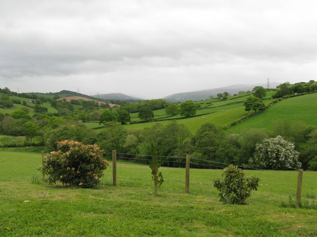
Coed Cadnor is a picturesque woodland located in Merionethshire, Wales. Nestled in the heart of the region, it is known for its natural beauty and diverse ecosystem. Covering an area of approximately [insert size], the woodland is a haven for nature enthusiasts and outdoor lovers.
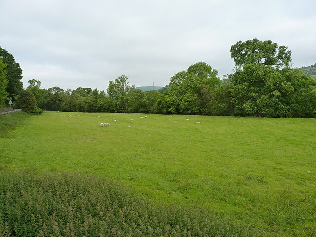
The wood is primarily composed of deciduous trees, including oak, beech, and birch. These towering giants provide a lush canopy that filters sunlight, creating a tranquil and shaded environment. The forest floor is adorned with a rich carpet of mosses, ferns, and wildflowers, adding to the enchanting atmosphere.
Coed Cadnor boasts a wide variety of wildlife, making it a popular destination for birdwatchers and wildlife photographers. Visitors may spot species such as tawny owls, buzzards, woodpeckers, and various songbirds. The woodland is also home to an array of mammals, including badgers, foxes, and deer.
Traversing through Coed Cadnor, visitors can explore a network of well-maintained walking trails. These paths cater to different levels of difficulty, offering options for leisurely strolls or more adventurous hikes. Along the way, informative signboards provide insights into the woodland's history, ecology, and conservation efforts.
Coed Cadnor is renowned for its breathtaking vistas, particularly during the autumn season when the foliage transforms into a stunning array of vibrant colors. The woodland is a popular destination for photographers seeking to capture the beauty of nature's changing palette.
Overall, Coed Cadnor in Merionethshire is a captivating woodland that offers a serene escape into nature. Its diverse flora and fauna, coupled with its scenic views, make it a must-visit destination for nature lovers and outdoor enthusiasts alike.
If you have any feedback on the listing, please let us know in the comments section below.
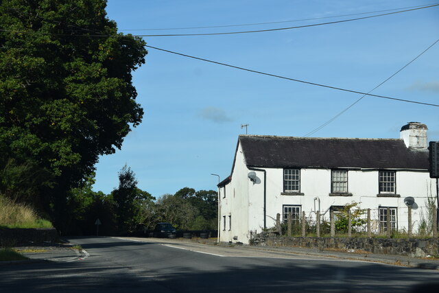
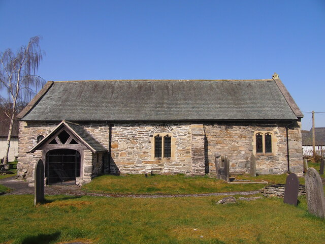
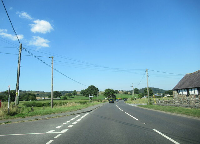
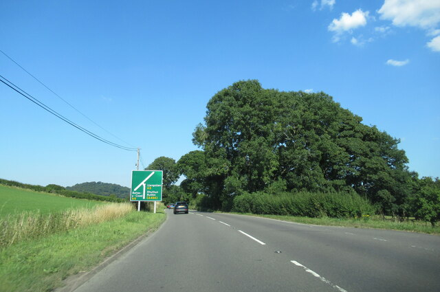
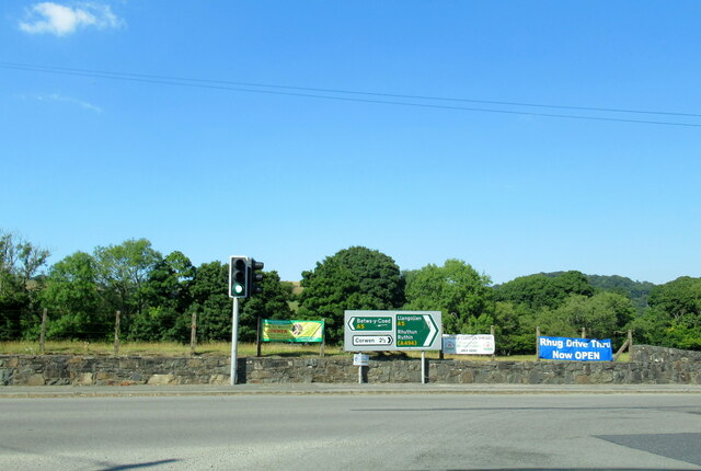
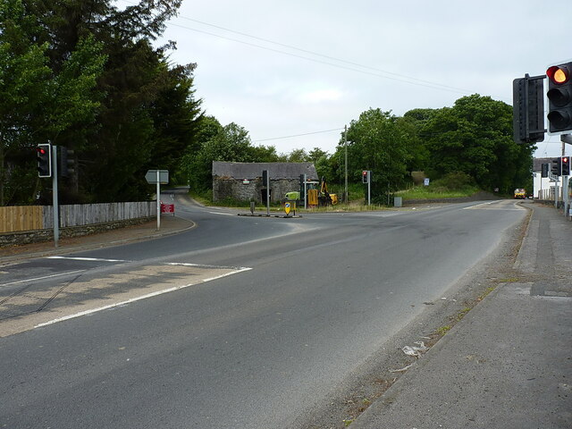
Coed Cadnor Images
Images are sourced within 2km of 52.993231/-3.4389142 or Grid Reference SJ0344. Thanks to Geograph Open Source API. All images are credited.


Coed Cadnor is located at Grid Ref: SJ0344 (Lat: 52.993231, Lng: -3.4389142)
Unitary Authority: Denbighshire
Police Authority: North Wales
What 3 Words
///doll.cookie.engrossed. Near Derwen, Denbighshire
Nearby Locations
Related Wikis

Druid, Denbighshire
Druid (Welsh: Y Ddwyryd) is a small village in Denbighshire, Wales. The village is located where the A5 and the A494 meet, about two miles west of Corwen...

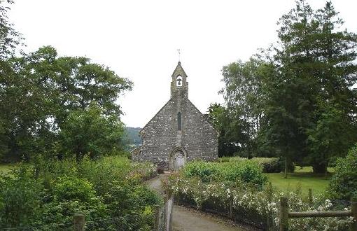
St Mary's Church, Betws Gwerful Goch
St Mary's Church, Betws Gwerful Goch, is in the village of Betws Gwerful Goch, Denbighshire, Wales. It is an active Anglican church in the deanery of...

Betws Gwerfil Goch
Betws Gwerfil Goch (Standard Welsh: Betws Gwerful Goch) is a village and community in Denbighshire, Wales. It had a population of 351 at the 2011 census...

Glan-yr-afon, Gwynedd
Glan-yr-afon is a small village near Corwen in Gwynedd, Wales and is situated on the A494. The village is on the boundary of Gwynedd and Denbighshire....
A494 road
The A494 is a trunk road in Wales and England. The route, which is officially known as the Dolgellau to South of Birkenhead Trunk Road, runs between the...

Plas Uchaf
Plas Uchaf (English: Upper Hall) is a 15th-century cruck-and-aisle-truss hall house, 1.5 miles (2.4 km) south-west of Corwen, Denbighshire, Wales and 1...
Glyndŵr
Glyndŵr was one of six local government districts in the county of Clwyd in Wales from 1974 to 1996. == History == The district was created on 1 April...
Rhug
Rhug (normally Y Rug in Welsh; sometimes given the antiquarian spelling Rûg) is a township in the parish of Corwen, Denbighshire, Wales, formerly in the...
Nearby Amenities
Located within 500m of 52.993231,-3.4389142Have you been to Coed Cadnor?
Leave your review of Coed Cadnor below (or comments, questions and feedback).