Bryn-y-wal Covert

Wood, Forest in Flintshire

Wales

Bryn-y-wal Covert

Botanical Gardens, Rhyl A nice gardens even this late in the year.
Botanical Gardens, Rhyl Credit: David Bremner

Bryn-y-wal Covert, located in Flintshire, Wales, is a beautiful woodland area also known as Bryn-y-wal Wood or Forest. Situated in the northeastern part of the county, the covert covers a significant area and is a popular destination for nature enthusiasts and hikers.

The woodland is characterized by its diverse range of tree species, including oak, birch, beech, and conifers, creating a picturesque landscape. The dense canopy provides shade and shelter, making it an ideal habitat for a variety of wildlife. Visitors often spot native birds, such as woodpeckers, owls, and various songbirds, as well as small mammals like squirrels and rabbits.

Tranquil pathways wind through the woodland, allowing visitors to explore the area at their own pace. There are several well-maintained trails suitable for all levels of fitness, offering opportunities for leisurely walks or more challenging hikes. As visitors wander through the woodland, they can enjoy the peaceful ambiance and immerse themselves in the natural beauty that surrounds them.

Bryn-y-wal Covert also boasts a rich history. The woodland has been managed for centuries, and remnants of ancient boundaries and earthworks can still be found within its boundaries. The area has likely been used for timber production and charcoal burning in the past, contributing to its historical significance.

Overall, Bryn-y-wal Covert is a captivating woodland destination that appeals to nature lovers, walkers, and history enthusiasts alike. With its diverse ecosystem and serene atmosphere, it offers a refreshing escape from the hustle and bustle of everyday life.

If you have any feedback on the listing, please let us know in the comments section below.

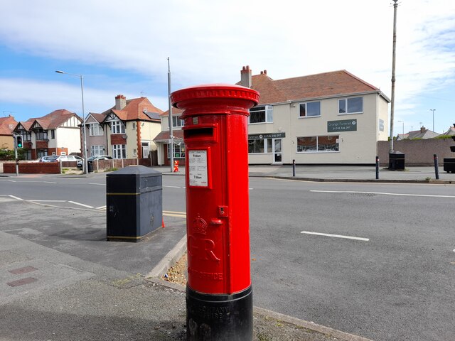
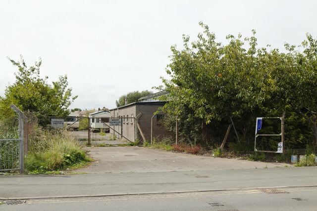
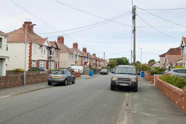
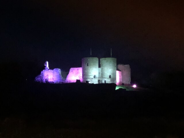
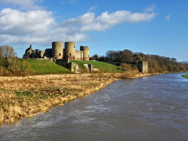
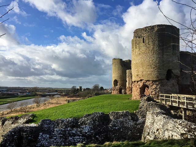
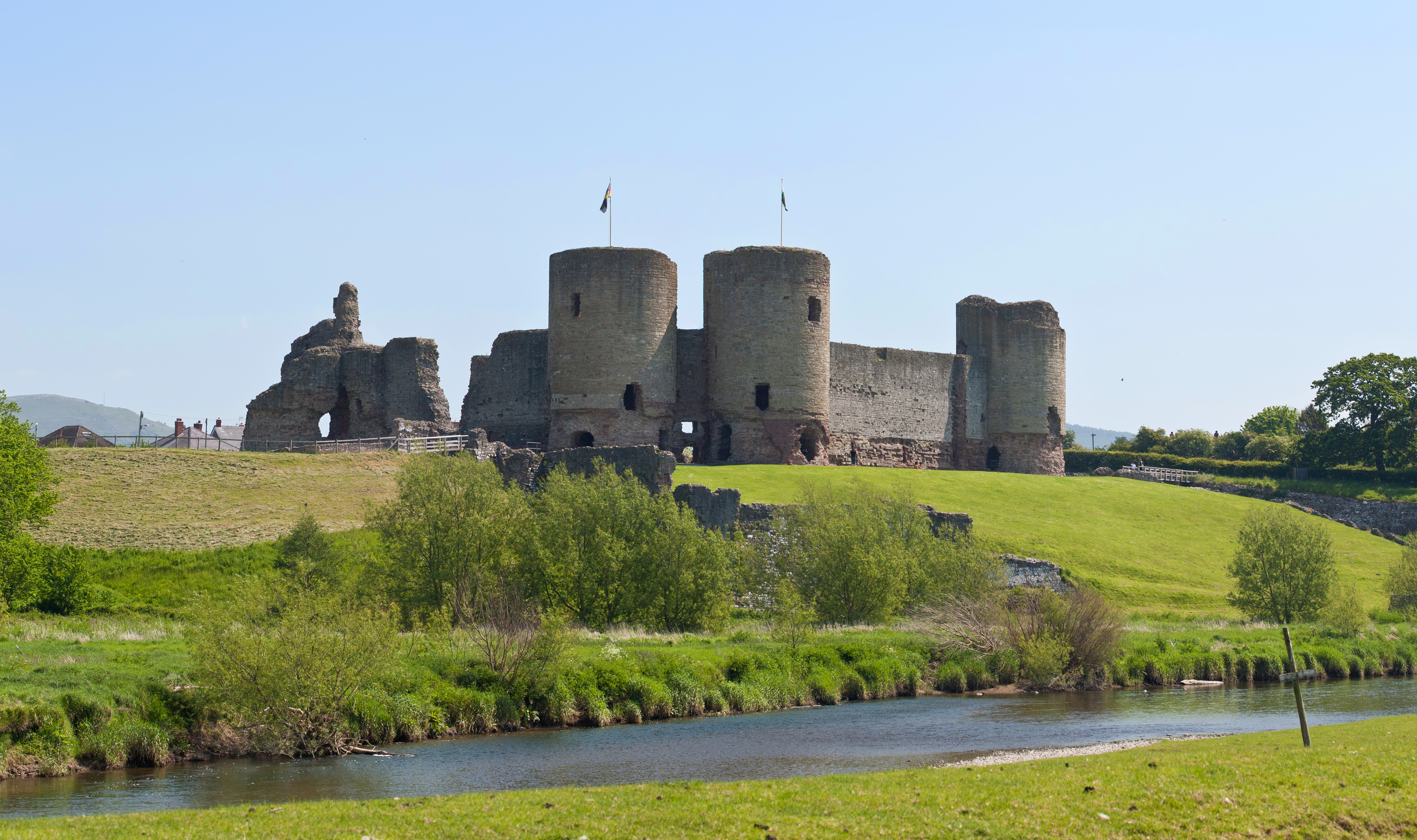
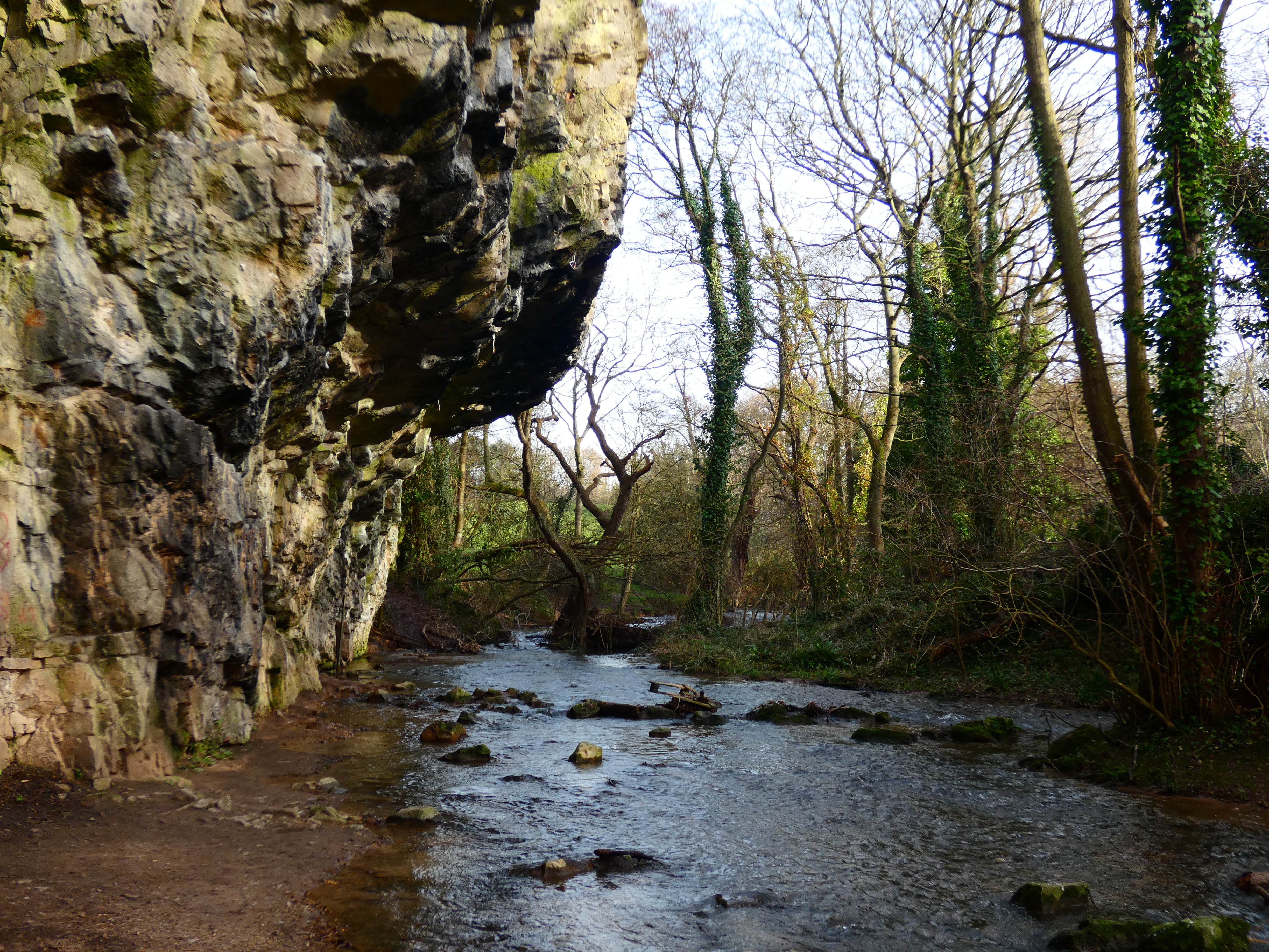
Bryn-y-wal Covert Images

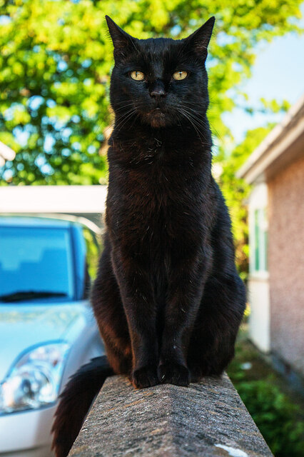
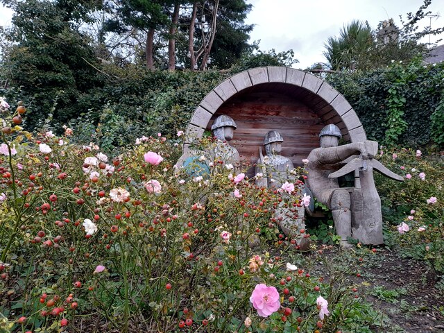
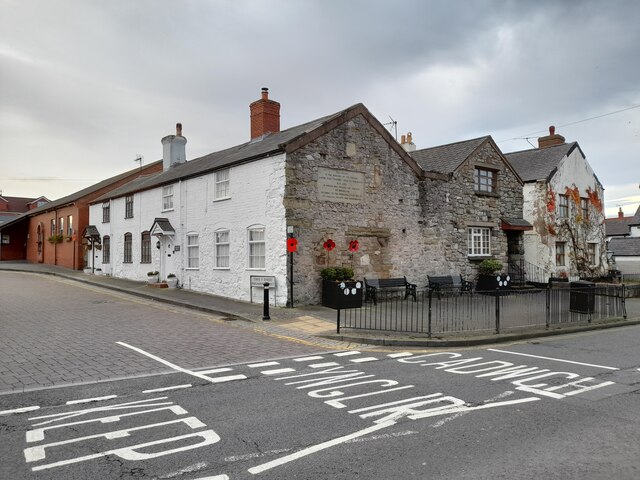
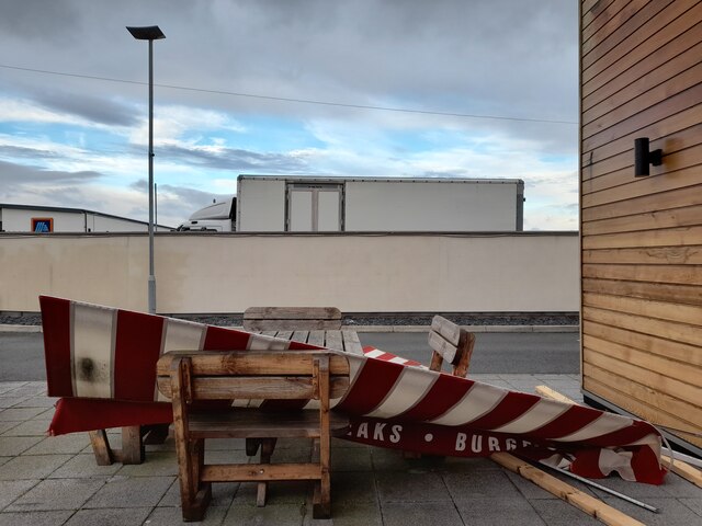
Images are sourced within 2km of 53.303714/-3.459239 or Grid Reference SJ0279. Thanks to Geograph Open Source API. All images are credited.

Botanical Gardens, Rhyl A nice gardens even this late in the year.
Botanical Gardens, Rhyl
A nice gardens even this late in the year.
Postbox at Bruton Park, Rhyl LL18 159D. Royal Mail list this box as 'Bruton Park'.
Postbox at Bruton Park, Rhyl
LL18 159D. Royal Mail list this box as 'Bruton Park'.
Post Box at Rhyl LL18 110. Royal Mail list this box as 'Viola Avenue'.
Post Box at Rhyl
LL18 110. Royal Mail list this box as 'Viola Avenue'.
Post Box in Rhyl LL18 11. Royal Mail list this box as 'Grange Road Post Office'.
Post Box in Rhyl
LL18 11. Royal Mail list this box as 'Grange Road Post Office'.
Brickfield Pond A nature reserve with quite a variety of wildlife.
Brickfield Pond
A nature reserve with quite a variety of wildlife.
Parc Aberkinsey New housing development at Rhyl.
Parc Aberkinsey
New housing development at Rhyl.
Study of a Gasoline Station Shell, Rhyl.

 This photograph is part of a series taken in homage to the American artist Ed Ruscha's 1963 publication of 'Twentysix Gasoline Stations'.
 More properly known as filling stations in the UK, I am attempting to photograph as many as possible to mark the sixty year anniversary.
Study of a Gasoline Station
Shell, Rhyl. This photograph is part of a series taken in homage to the American artist Ed Ruscha's 1963 publication of 'Twentysix Gasoline Stations'. More properly known as filling stations in the UK, I am attempting to photograph as many as possible to mark the sixty year anniversary.
Former abattoir, Ffordd Las The land around this former abattoir is being used to store caravans.
Former abattoir, Ffordd Las
The land around this former abattoir is being used to store caravans.
Grosvenor Avenue, Rhyl
Trellewelyn Road, Rhyl Viewed from the junction with Grosvenor Avenue.
Trellewelyn Road, Rhyl
Viewed from the junction with Grosvenor Avenue.
Rhuddlan Castle, illuminated Brightened up for Christmas
Rhuddlan Castle, illuminated
Brightened up for Christmas
William A cat that went part feral in the locality after his owner died, living rough, and surviving through the kindness of local villagers until finally being adopted. A real character and a survivor.
William
A cat that went part feral in the locality after his owner died, living rough, and surviving through the kindness of local villagers until finally being adopted. A real character and a survivor.
The Knight's Sculpture,  Rhuddlan A fine piece of sculpture by Mike Owens.
The Knight's Sculpture, Rhuddlan
A fine piece of sculpture by Mike Owens.
Parliament House, Rhuddlan A very historic building.
Parliament House, Rhuddlan
A very historic building.
The End of Harvey's New York Bar and Grill This establishment used to pump American popular music out on to the streets of a most historic Welsh village. Goodness I sound old!
The End of Harvey's New York Bar and Grill
This establishment used to pump American popular music out on to the streets of a most historic Welsh village. Goodness I sound old!
Rhuddlan castle across the flood-plain fields The fields in the foreground flood annually at times of heavy rain.
Rhuddlan castle across the flood-plain fields
The fields in the foreground flood annually at times of heavy rain.
Rhuddlan Castle from the bridge over the Clwyd The river appears swollen after a combination of a high tide and recent rains.
Rhuddlan Castle from the bridge over the Clwyd
The river appears swollen after a combination of a high tide and recent rains.
Rhuddlan Castle - the South Tower and Gatehouse In the distance, the bridge over the River Clwyd, and the tower of St Mary's Church.
Rhuddlan Castle - the South Tower and Gatehouse
In the distance, the bridge over the River Clwyd, and the tower of St Mary's Church.
Show me another place!

Bryn-y-wal Covert is located at Grid Ref: SJ0279 (Lat: 53.303714, Lng: -3.459239)

Unitary Authority: Denbighshire

Police Authority: North Wales

What 3 Words

///wooden.glaze.storms. Near Rhuddlan, Denbighshire

Related Wikis

Rhuddlan

Rhuddlan (Welsh pronunciation: [ˈr̥ɨðlan]) is a town, community, and electoral ward in the county of Denbighshire, Wales, in the historic county of Flintshire...

District of Rhuddlan

The Borough of Rhuddlan was a local government district with borough status from 1974 to 1996, being one of six districts in the county of Clwyd, north...

Christ the Word Catholic School

Christ the Word Catholic School is a Catholic co-educational voluntary aided secondary school situated on Cefndy Road, in Rhyl, Denbighshire. It opened...

River Ffyddion

The River Ffyddion is a tributary of the River Clwyd in North Wales. It is this river that forms Dyserth Waterfall.The river flows from the main body of...

Bodrhyddan Hall

Bodrhyddan Hall is a country house in Rhuddlan, Denbighshire, Wales. It is a Grade I listed building.The present building is a 1690s remodelling of an...
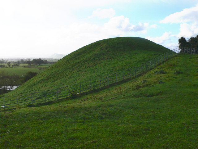
Twthill, Rhuddlan

Twthill (Welsh: Twtil) is a Norman castle located near the town of Rhuddlan, Denbighshire in Wales; historic names for the site include Toothill and Tot...

Rhuddlan railway station

Rhuddlan was a railway station located in Rhuddlan, Denbighshire. It first opened in 1858 as part of the Vale of Clwyd Railway, and afterwards under the...
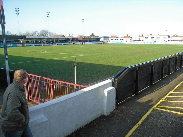
Belle Vue, Rhyl

Belle Vue is a multi-purpose stadium in Rhyl, Wales. It is used mostly for football matches, and is the home ground of C.P.D. Y Rhyl 1879 . The stadium...

Nearby Amenities

Located within 500m of 53.303714,-3.459239
Power: pole
Lat/Long: 53.2994015/-3.4612183
Power: pole
Lat/Long: 53.2996035/-3.4623019
Power: pole
Lat/Long: 53.301561/-3.4538822
Power: pole
Lat/Long: 53.3014416/-3.4543006
Power: pole
Lat/Long: 53.3011875/-3.4550328
Power: pole
Lat/Long: 53.3016247/-3.4534928
Power: pole
Lat/Long: 53.3019533/-3.4530006
Power: pole
Lat/Long: 53.3023688/-3.4545261
Power: pole
Lat/Long: 53.3036096/-3.4555362
Power: pole
Lat/Long: 53.3030776/-3.4544912
Power: pole
Lat/Long: 53.3033066/-3.4540271
Power: pole
Lat/Long: 53.3036946/-3.4528233
Power: pole
Lat/Long: 53.3051113/-3.4567494
Power: pole
Lat/Long: 53.3043249/-3.4561141
Power: pole
Lat/Long: 53.3051674/-3.4568498
Power: pole
Lat/Long: 53.3053194/-3.4557161
Power: pole
Lat/Long: 53.3053957/-3.4551522
Power: pole
Lat/Long: 53.3052418/-3.4562901
Power: pole
Lat/Long: 53.3010588/-3.4534645
Camera Mount: pole
Man Made: surveillance
Surveillance: outdoor
Surveillance Type: camera
Lat/Long: 53.3042756/-3.4666677
Rhyl car boot fair
Office: company
Lat/Long: 53.3044306/-3.466255
Power: pole
Lat/Long: 53.3027371/-3.4582093
Power: pole
Lat/Long: 53.3028205/-3.4560572
Power: pole
Lat/Long: 53.3027014/-3.4587804
Power: pole
Lat/Long: 53.3028295/-3.4548957
Power: pole
Lat/Long: 53.3027862/-3.4571855
Power: pole
Lat/Long: 53.3033938/-3.4542618
Power: pole
Lat/Long: 53.3037606/-3.4544631
Power: pole
Lat/Long: 53.304147/-3.4549898
Power: pole
Lat/Long: 53.3046747/-3.4550355
Power: pole
Lat/Long: 53.3051827/-3.4550726
Power: pole
Lat/Long: 53.3021605/-3.465923
Barrier: stile
Stile: stepover
Lat/Long: 53.3034908/-3.4572657
The data included in this document is from www.openstreetmap.org. The data is made available under ODbL.

Have you been to Bryn-y-wal Covert?

Leave your review of Bryn-y-wal Covert below (or comments, questions and feedback).