Bryn Cwnin Covert
Wood, Forest in Flintshire
Wales
Bryn Cwnin Covert

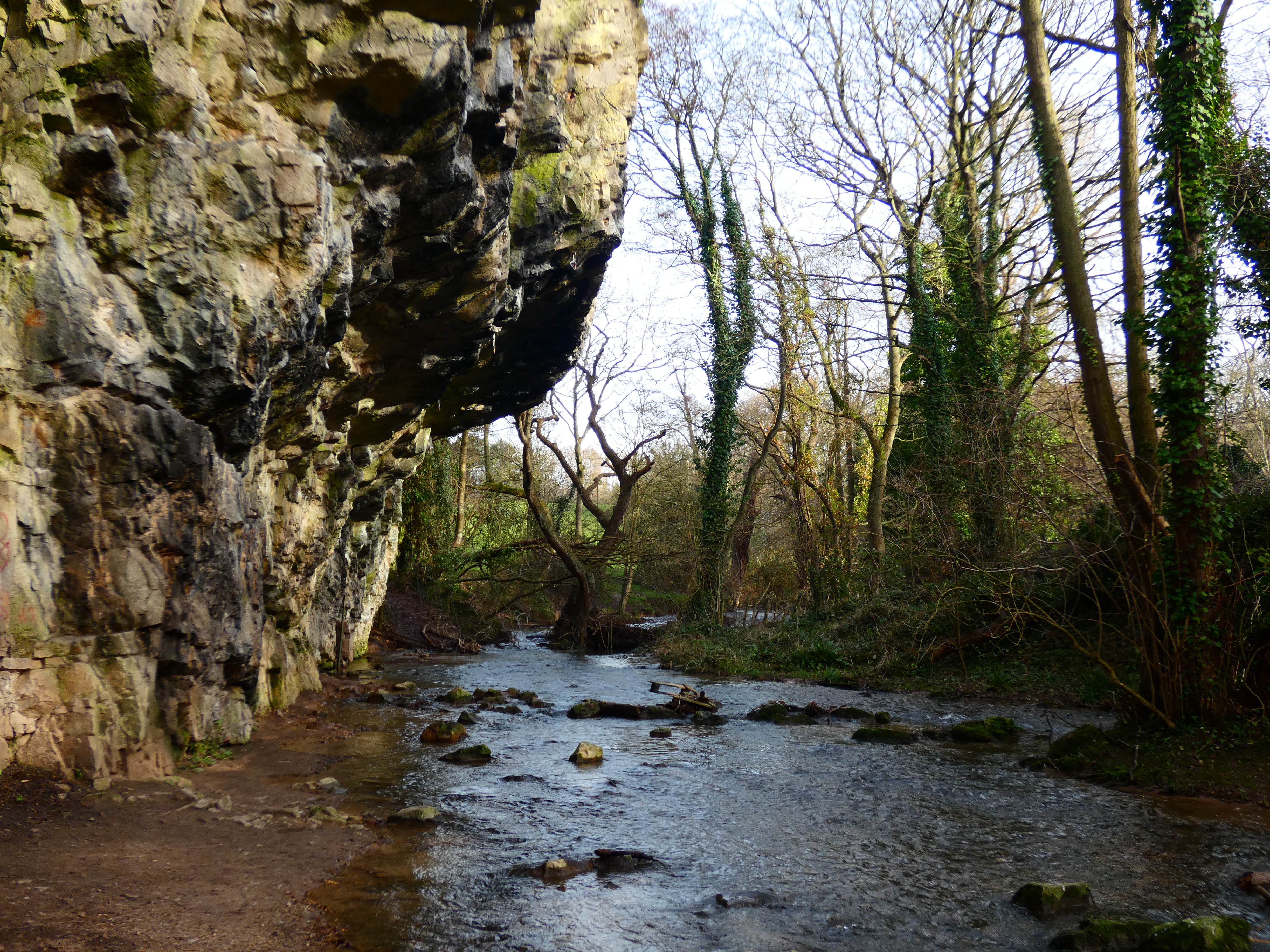
Bryn Cwnin Covert is a wooded area located in Flintshire, Wales. It is situated near the village of Brynford, approximately three miles west of the town of Holywell. This woodland, also known as Bryn Cwnin Forest, covers an area of around 150 acres.
The covert consists of a mix of deciduous and coniferous trees, creating a diverse and picturesque landscape. The dominant tree species include oak, beech, birch, and Douglas fir. The woodland is home to a rich variety of wildlife, including deer, foxes, badgers, and a wide range of bird species.
There are several well-maintained footpaths and trails that wind through Bryn Cwnin Covert, making it a popular destination for nature enthusiasts, hikers, and dog walkers. These pathways offer visitors an opportunity to explore the woodland and enjoy the peaceful surroundings.
The woodland is managed by a local conservation group, which ensures the preservation of the natural habitat and encourages sustainable practices. As a result, Bryn Cwnin Covert is a haven for biodiversity and provides an important ecological corridor for wildlife movement.
Due to its proximity to residential areas, the woodland is easily accessible to the local community. It offers a tranquil escape from the hustle and bustle of daily life, providing a space for relaxation and recreation.
Overall, Bryn Cwnin Covert is a beautiful and ecologically significant woodland in Flintshire, offering a sanctuary for wildlife and a peaceful retreat for visitors to enjoy the natural environment.
If you have any feedback on the listing, please let us know in the comments section below.
Bryn Cwnin Covert Images
Images are sourced within 2km of 53.305648/-3.4606557 or Grid Reference SJ0279. Thanks to Geograph Open Source API. All images are credited.


Bryn Cwnin Covert is located at Grid Ref: SJ0279 (Lat: 53.305648, Lng: -3.4606557)
Unitary Authority: Denbighshire
Police Authority: North Wales
What 3 Words
///talent.burn.cattle. Near Rhuddlan, Denbighshire
Nearby Locations
Related Wikis
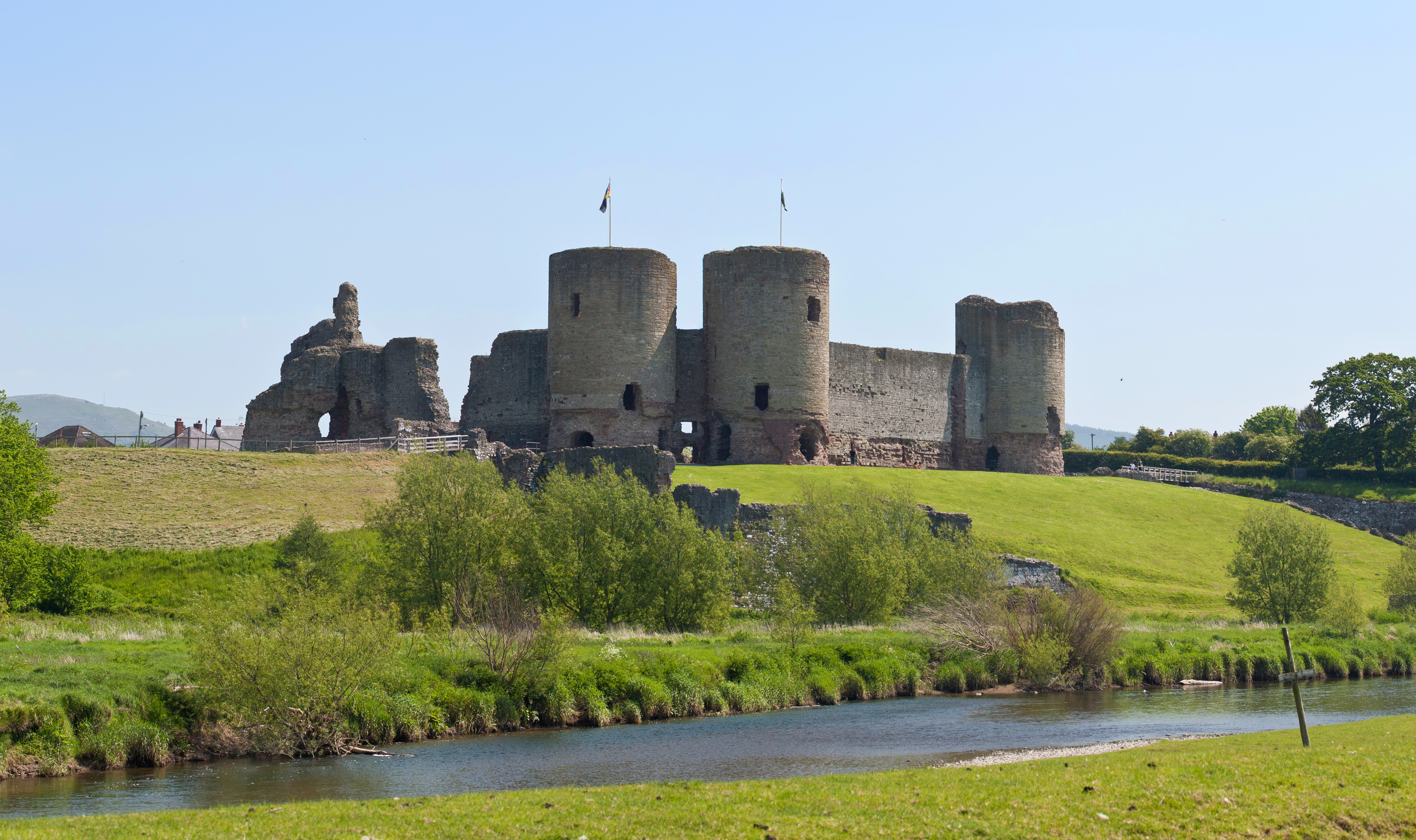
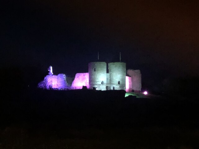
Rhuddlan
Rhuddlan (Welsh pronunciation: [ˈr̥ɨðlan]) is a town, community, and electoral ward in the county of Denbighshire, Wales, in the historic county of Flintshire...

Christ the Word Catholic School
Christ the Word Catholic School is a Catholic co-educational voluntary aided secondary school situated on Cefndy Road, in Rhyl, Denbighshire. It opened...

District of Rhuddlan
The Borough of Rhuddlan was a local government district with borough status from 1974 to 1996, being one of six districts in the county of Clwyd, north...
River Ffyddion
The River Ffyddion is a tributary of the River Clwyd in North Wales. It is this river that forms Dyserth Waterfall.The river flows from the main body of...
Belle Vue, Rhyl
Belle Vue is a multi-purpose stadium in Rhyl, Wales. It is used mostly for football matches, and is the home ground of C.P.D. Y Rhyl 1879 . The stadium...
Rhyl High School
Rhyl High School is one of two high schools in Rhyl, Wales. It was founded in 1894. == History == Rhyl and District Intermediate School was founded in...

Bodrhyddan Hall
Bodrhyddan Hall is a country house in Rhuddlan, Denbighshire, Wales. It is a Grade I listed building.The present building is a 1690s remodelling of an...

Rhyl
Rhyl (; Welsh: Y Rhyl, pronounced [ə ˈr̥ɨl]) is a seaside town and community in Denbighshire, Wales. The town lies within the historic boundaries of Denbighshire...
Nearby Amenities
Located within 500m of 53.305648,-3.4606557Have you been to Bryn Cwnin Covert?
Leave your review of Bryn Cwnin Covert below (or comments, questions and feedback).