Llanquian Wood

Wood, Forest in Glamorgan

Wales

Llanquian Wood

Ripening field of wheat
Ripening field of wheat Credit: Alan Hughes

Llanquian Wood is a picturesque woodland located in the county of Glamorgan, Wales. Covering an area of approximately 100 hectares, this enchanting forest is nestled in the heart of the Welsh countryside, offering visitors a tranquil and immersive natural experience.

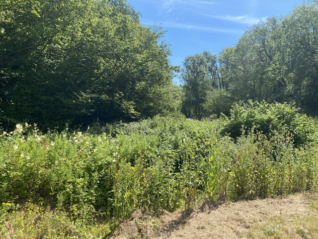
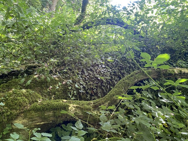
The wood is predominantly composed of deciduous trees, including oak, beech, and ash, which create a dense canopy, providing shade and shelter for a diverse range of flora and fauna. The forest floor is adorned with a carpet of bluebells in the spring, while ferns and mosses thrive in the damp and shaded areas.

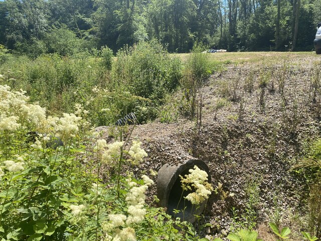
Llanquian Wood is renowned for its extensive network of walking trails, allowing nature enthusiasts and hikers to explore its beauty at their own pace. The paths wind through the woodland, offering breathtaking views of the surrounding landscape, including rolling hills and meandering streams.

Wildlife is abundant in Llanquian Wood, with sightings of various bird species such as woodpeckers, nuthatches, and owls. Small mammals like squirrels, foxes, and badgers also call this woodland their home, adding to the diverse ecosystem.

Throughout history, Llanquian Wood has played a vital role in the local community. In the past, it provided timber for construction and fuel, and remnants of old charcoal pits can still be found within its boundaries. Today, the forest is managed by a local conservation organization, which seeks to preserve its natural beauty and protect its wildlife.

Llanquian Wood is a haven for those seeking solace in nature, offering a serene and captivating experience for visitors of all ages.

If you have any feedback on the listing, please let us know in the comments section below.

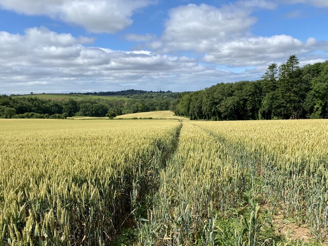
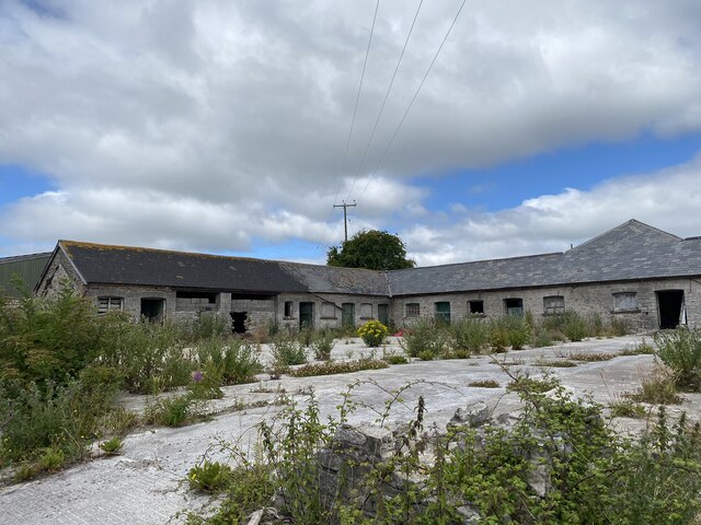
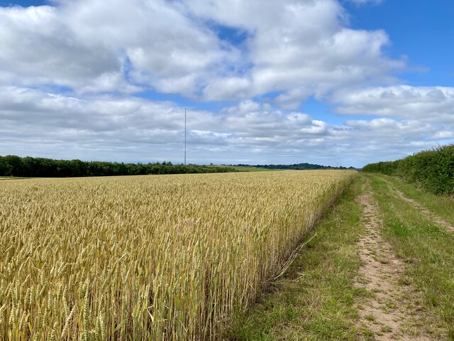
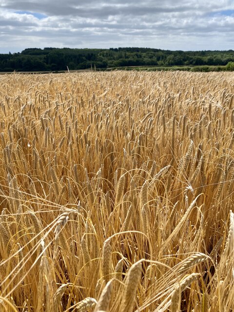
Llanquian Wood Images

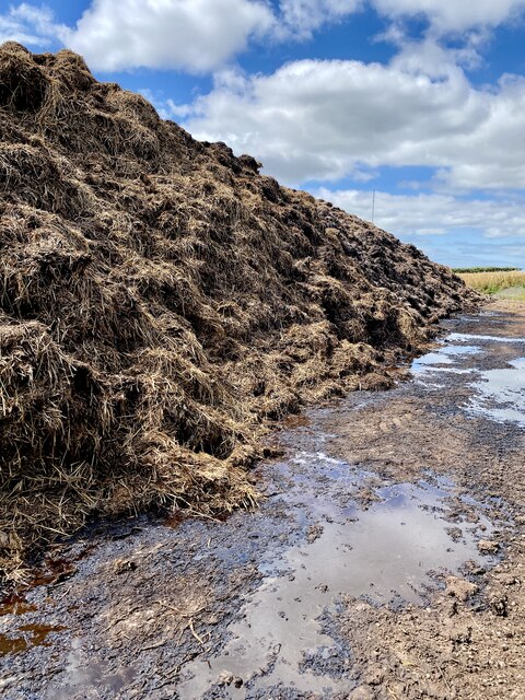
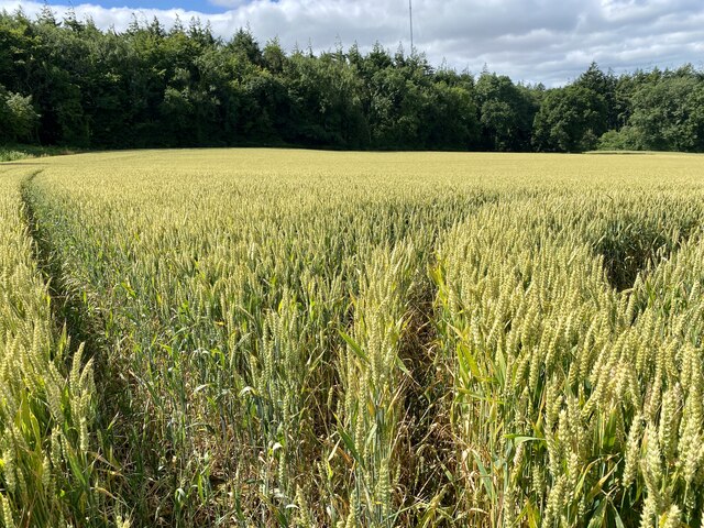
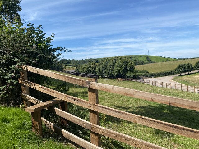
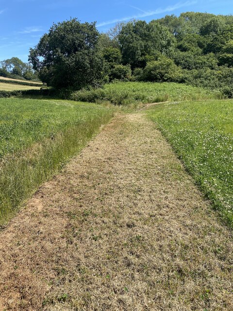
Images are sourced within 2km of 51.460266/-3.4108334 or Grid Reference ST0274. Thanks to Geograph Open Source API. All images are credited.

Ripening field of wheat
Derelict farm buildings at Maes y Ward
Path alongside wheat field
Golden barley
Golden barley
Manure heap and leachate
Corner of a wheat field Approaching Coed Mynydd Coch.
Corner of a wheat field
Approaching Coed Mynydd Coch.
Fredwell Café and Patisserie Business on the Pant Wilkin estate.
Fredwell Café and Patisserie
Business on the Pant Wilkin estate.
New stile on an ancient path The path appears to go in stages from Cowbridge to Pendoylan and beyond, passing the Iron Age hillforts at Llanquian and Castell Coch.  Much of the footpath is at present unpassable.
New stile on an ancient path
The path appears to go in stages from Cowbridge to Pendoylan and beyond, passing the Iron Age hillforts at Llanquian and Castell Coch. Much of the footpath is at present unpassable.
Ditch, path and track
Mown path This mown section of the footpath looks promising … so far!
Mown path
This mown section of the footpath looks promising … so far!
Impenetrable footpath See <a href="https://www.geograph.org.uk/photo/7224446">ST0274 : Mown path</a>

… but soon degenerates into an impenetrable jungle.
Impenetrable footpath
See ST0274 : Mown path … but soon degenerates into an impenetrable jungle.
Fallen tree and undergrowth A fallen tree and dense undergrowth make the public footpath impassable.
Fallen tree and undergrowth
A fallen tree and dense undergrowth make the public footpath impassable.
A path of chippings over a culvert It would seem that the only reason for this path of chippings is to give access to the footpath. But after just a few yards the public footpath is impenetrable.
A path of chippings over a culvert
It would seem that the only reason for this path of chippings is to give access to the footpath. But after just a few yards the public footpath is impenetrable.
Trying to find the footpath
Overgrown track Still searching for the ancient track that goes through Mynydd y Coed.
Overgrown track
Still searching for the ancient track that goes through Mynydd y Coed.
Thick undergrowth 20m ahead is another footpath - but that one is also inaccessible.
Thick undergrowth
20m ahead is another footpath - but that one is also inaccessible.
Culvert and bridleway
Finding the way … Somewhere close ahead is a public footpath!
Finding the way …
Somewhere close ahead is a public footpath!
Show me another place!

Llanquian Wood is located at Grid Ref: ST0274 (Lat: 51.460266, Lng: -3.4108334)

Unitary Authority: The Vale of Glamorgan

Police Authority: South Wales

What 3 Words

///callers.hangs.shatters. Near Cowbridge, Vale of Glamorgan

Related Wikis

Battle of Stalling Down

The Battle of Stalling Down, also known as the Battle of Bryn Owain, is a battle reputed to have taken place between late autumn or early winter of 1403...

St Hilary transmitting station

The St Hilary transmitting station is a facility for telecommunications situated close to the village of St Hilary, Glamorgan in the Vale of Glamorgan...

The Bush Inn

The Bush Inn is a Grade II listed public house in St Hilary, near Cowbridge, Vale of Glamorgan, south Wales. The current inn dates to the 16th century...

St Hilary, Vale of Glamorgan

St Hilary (Welsh: Saint Hilari ) is a village in the Vale of Glamorgan, Wales. It is located just south of the A48, about a mile southeast of the market...

Nearby Amenities

Located within 500m of 51.460266,-3.4108334
Access: private
Barrier: chain
Foot: yes
Lat/Long: 51.4630853/-3.4138618
Power: pole
Lat/Long: 51.4573329/-3.4138164
Power: pole
Lat/Long: 51.4575602/-3.4164691
Power: pole
Lat/Long: 51.456992/-3.4099755
Power: pole
Lat/Long: 51.4567769/-3.4073978
Source: Bing
Lat/Long: 51.4619081/-3.4112977
Direction: 170
Generator Method: photovoltaic
Generator Output Electricity: yes
Generator Solar Modules: 16
Generator Source: solar
Generator Type: solar_photovoltaic_panel
Location: roof
Power: generator
Lat/Long: 51.4597044/-3.4171021
Cafe
Fredwell Café & Patisserie
Addr City: Aberthin
Addr Postcode: CF71 7GX
Cuisine: coffee_shop
Outdoor Seating: yes
Website: https://fredwell.cafe/
Lat/Long: 51.4622963/-3.4101505
Chase Outdoor Living
Addr City: Aberthin
Addr Postcode: CF71 7GX
Email: info@chaseliving.com
Phone: +44 7919 440910
Shop: furniture
Website: https://chaseliving.com/
Lat/Long: 51.4621453/-3.4101548
Veterinary
Cotts Equine
Phone: +44 1446 728358
Lat/Long: 51.4621678/-3.4099934
Llanquian Castle
Historic: ruins
Historic Civilization: medieval
Ruins: castle
Website: https://coflein.gov.uk/en/site/300449
Lat/Long: 51.460506/-3.4131108
Price Builders
Shop: trade
Lat/Long: 51.4621204/-3.4102996
Adept Priivate Finance
Office: financial_advisor
Lat/Long: 51.4620848/-3.4105109
Hare and Hounds Bakery
Shop: bakery
Lat/Long: 51.4620506/-3.4107222
Doorland Warehouse
Shop: doors
Lat/Long: 51.4624499/-3.4103346
Aerospace Wales
Office: yes
Lat/Long: 51.4623066/-3.4105716
Barrier: swing_gate
Foot: designated
Lat/Long: 51.4631006/-3.4139135
Music School
The Tiny Treehouse
Website: https://www.monkeymusic.co.uk/area/vale-glamorgan-bridgend
Lat/Long: 51.4622957/-3.4106358
K&K Gardening Cymru Cyf
Craft: gardener
Facebook: https://www.facebook.com/p/KK-gardening-cymru-cyf-100049212354139/
Lat/Long: 51.462427/-3.4107315
Veterinary
JCB Animal Physio Rehabilitation
Website: https://www.jcbanimalphysio.com/
Lat/Long: 51.4624023/-3.4108587
The data included in this document is from www.openstreetmap.org. The data is made available under ODbL.

Have you been to Llanquian Wood?

Leave your review of Llanquian Wood below (or comments, questions and feedback).