Butley
Settlement in Suffolk East Suffolk
England
Butley

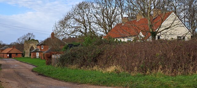
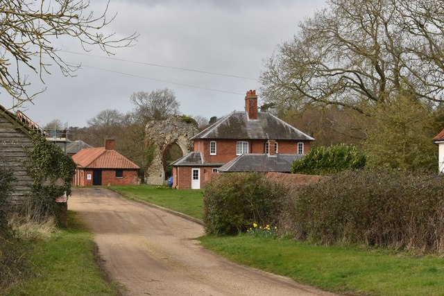
Butley is a small village located in the eastern region of Suffolk, England. Situated within the Suffolk Coast and Heaths Area of Outstanding Natural Beauty, Butley offers residents and visitors a picturesque and tranquil setting. The village is nestled between the River Butley and the Butley Creek, which adds to its charm and natural beauty.
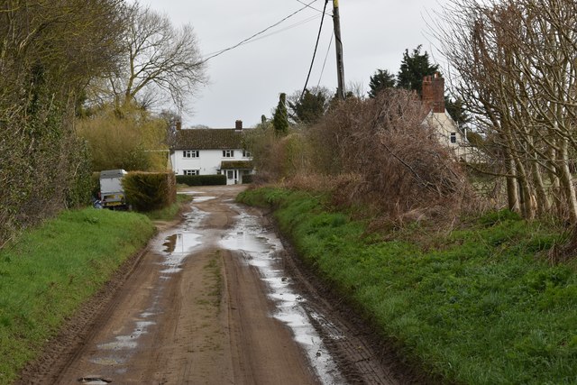
The village is predominantly rural, with a scattering of traditional houses and farms. The surrounding countryside is characterized by rolling fields, lush woodlands, and winding footpaths, making it an ideal location for outdoor enthusiasts and nature lovers.
Butley is home to a close-knit community, with a population of around 400 residents. The village boasts a few essential amenities, including a charming village hall, a local pub, and a primary school, catering to the needs of the residents.
Historically, Butley was known for its connection to the fishing industry, particularly for its oysters. Although the fishing industry has declined in recent years, remnants of this heritage can still be seen in the village.
With its idyllic setting and proximity to the Suffolk coastline, Butley offers visitors plenty of opportunities for exploration and relaxation. Whether it's strolling along the riverbank, exploring the nearby RSPB nature reserve, or simply enjoying the tranquility of the countryside, Butley is a hidden gem for those seeking a peaceful retreat in the heart of Suffolk.
If you have any feedback on the listing, please let us know in the comments section below.
Butley Images
Images are sourced within 2km of 52.107175/1.4575345 or Grid Reference TM3651. Thanks to Geograph Open Source API. All images are credited.


Butley is located at Grid Ref: TM3651 (Lat: 52.107175, Lng: 1.4575345)
Administrative County: Suffolk
District: East Suffolk
Police Authority: Suffolk
What 3 Words
///suspended.computers.atoms. Near Rendlesham, Suffolk
Nearby Locations
Related Wikis

Butley, Suffolk
Butley is a village and civil parish in the English county of Suffolk. Butley lies 7+1⁄2 miles (12 km) east of the town of Woodbridge on the B1084 (Orford...

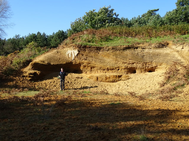
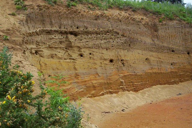
Neutral Farm Pit, Butley
Neutral Farm Pit, Butley is a 1.1-hectare (2.7-acre) geological Site of Special Scientific Interest in Butley, east of Woodbridge in Suffolk. It is a Geological...

Wantisden
Wantisden is a small village and civil parish in the East Suffolk district of Suffolk in eastern England. Largely consisting of a single farm and ancient...

Sandlings Forest
Sandlings Forest is a 2,483.8 hectare biological Site of Special Scientific Interest in two large blocks, Rendlesham Forest and Tunstall Forest, and two...
Nearby Amenities
Located within 500m of 52.107175,1.4575345Have you been to Butley?
Leave your review of Butley below (or comments, questions and feedback).