Carnedd Mine Wood
Wood, Forest in Montgomeryshire
Wales
Carnedd Mine Wood
The requested URL returned error: 429 Too Many Requests
If you have any feedback on the listing, please let us know in the comments section below.
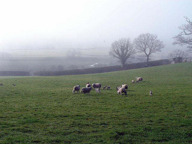
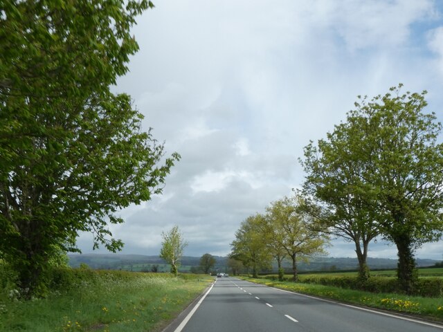
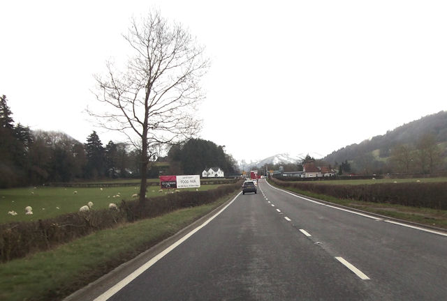
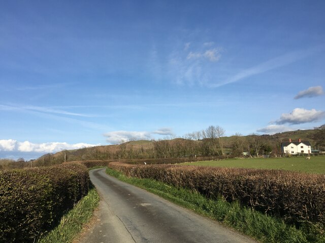
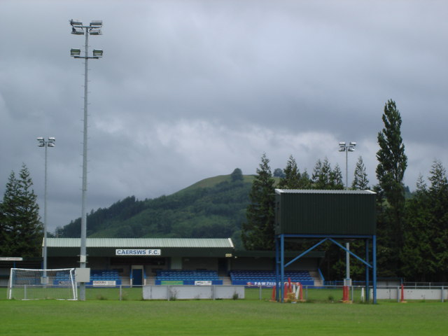
Carnedd Mine Wood Images
Images are sourced within 2km of 52.505145/-3.448746 or Grid Reference SO0190. Thanks to Geograph Open Source API. All images are credited.


Carnedd Mine Wood is located at Grid Ref: SO0190 (Lat: 52.505145, Lng: -3.448746)
Unitary Authority: Powys
Police Authority: Dyfed Powys
What 3 Words
///overtones.victor.vocally. Near Mochdre, Powys
Nearby Locations
Related Wikis

Cefn Carnedd
Cefn Carnedd is an Iron Age hillfort, about 1.5 miles (2 km) south-west of Caersws, in Powys, Wales. It is a scheduled monument.It is on a hill overlooking...
Recreation Ground, Caersws
Recreation Ground is a multi-use stadium in Caersws, Wales. It is currently used mostly for football matches and is the home ground of Caersws F.C. The...

Caersws railway station
Caersws railway station is on the Cambrian Line in mid-Wales, serving the village of Caersws. It is notable in that there are 22 miles (35 km) separating...

Broneirion
Broneirion is a Victorian house and grounds on the hillside across the River Severn from the village of Llandinam. It was built by Welsh industrialist...
Nearby Amenities
Located within 500m of 52.505145,-3.448746Have you been to Carnedd Mine Wood?
Leave your review of Carnedd Mine Wood below (or comments, questions and feedback).