Coed Llystyn
Wood, Forest in Merionethshire
Wales
Coed Llystyn

The requested URL returned error: 429 Too Many Requests
If you have any feedback on the listing, please let us know in the comments section below.
Coed Llystyn Images
Images are sourced within 2km of 52.8971/-3.4618322 or Grid Reference SJ0134. Thanks to Geograph Open Source API. All images are credited.


Coed Llystyn is located at Grid Ref: SJ0134 (Lat: 52.8971, Lng: -3.4618322)
Unitary Authority: Denbighshire
Police Authority: North Wales
What 3 Words
///grabs.consented.price. Near Llandrillo, Denbighshire
Nearby Locations
Related Wikis

Llandrillo, Denbighshire
Llandrillo (or, in full, Llandrillo yn Edeirnion) is a small village and community in the Edeirnion area of Denbighshire in Wales, between Bala, and Corwen...
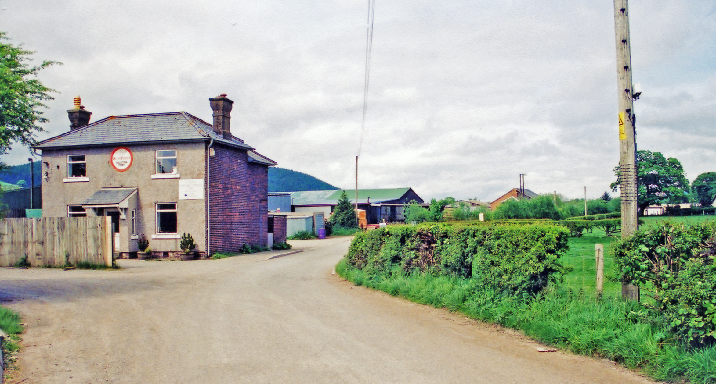
Llandrillo railway station
Llandrillo railway station (ɬandriːɬɔ) in Denbighshire, Wales, was a station on the Ruabon to Barmouth line. It was to have closed to passengers on Monday...

Berwyn range
The Berwyn range (Welsh: Y Berwyn or Mynydd y Berwyn) is an isolated and sparsely populated area of moorland in the northeast of Wales, roughly bounded...
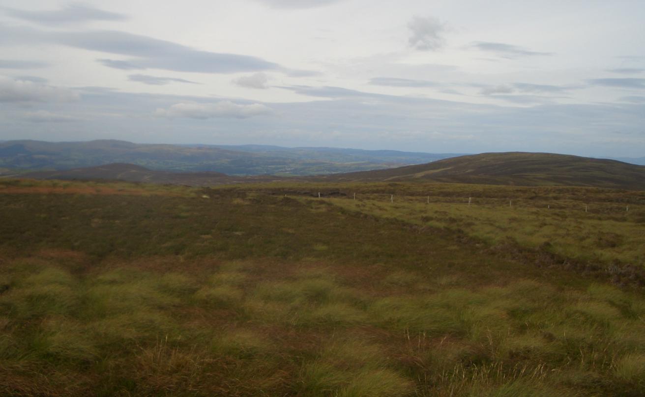
Foel Cwm Sian Llŵyd
Foel Cwm Sian Llŵyd is a subsidiary summit of Cyrniau Nod in north east Wales. It forms a part of the Berwyn range known as the Hirnantau. Its summit has...
Nearby Amenities
Located within 500m of 52.8971,-3.4618322Have you been to Coed Llystyn?
Leave your review of Coed Llystyn below (or comments, questions and feedback).