Butler's Hill
Settlement in Nottinghamshire Ashfield
England
Butler's Hill

Butler's Hill is a small village located in the county of Nottinghamshire, England. Situated approximately 5 miles northwest of the city of Nottingham, this rural settlement is nestled in the picturesque countryside, offering a tranquil and idyllic setting for its residents.
The village is known for its rich history, dating back to medieval times. It was named after the Butler family, who were once the prominent landowners in the area. The village features several historic buildings, including a medieval church that stands as a testimony to its past. The church, dedicated to St. Mary, is a notable architectural gem and attracts visitors interested in its historical significance.
Despite its small size, Butler's Hill provides a close-knit community atmosphere, with friendly and welcoming locals. The village is primarily residential, with a mix of traditional stone cottages and modern homes. The surrounding countryside offers ample opportunities for outdoor activities such as walking, cycling, and horse riding, making it an ideal location for nature enthusiasts.
While Butler's Hill remains peaceful and secluded, it benefits from its proximity to the bustling city of Nottingham. Residents have easy access to a range of amenities, including shops, supermarkets, schools, and healthcare facilities. The village also benefits from good transportation links, with regular bus services connecting it to nearby towns and cities.
Overall, Butler's Hill offers a harmonious blend of history, natural beauty, and modern conveniences, making it an attractive place to live for those seeking a peaceful rural lifestyle within easy reach of urban amenities.
If you have any feedback on the listing, please let us know in the comments section below.
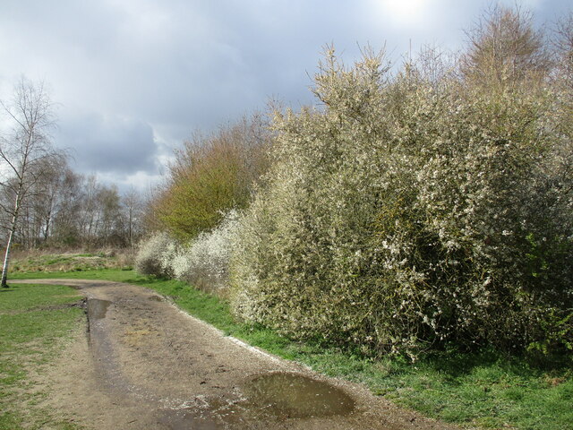
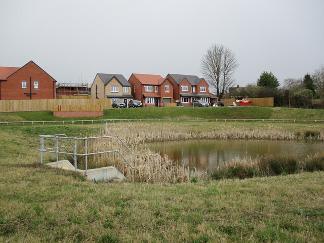
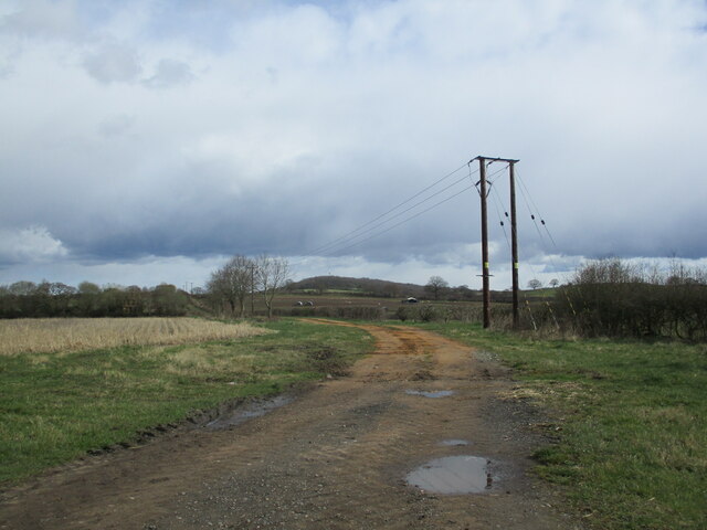
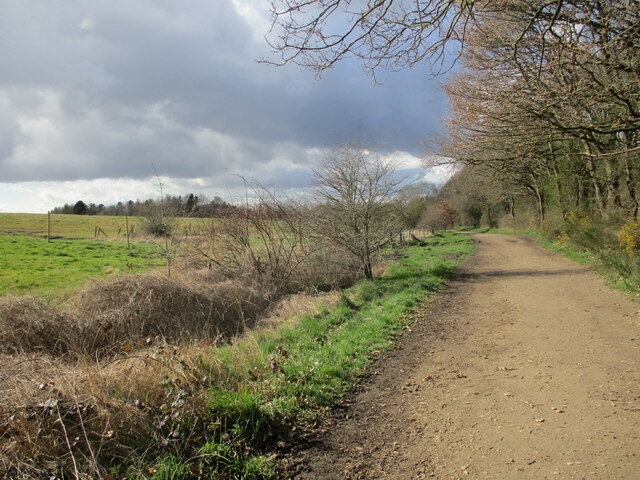
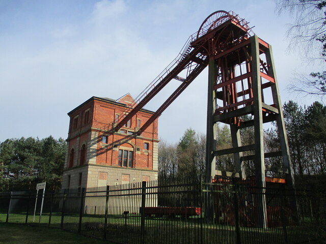
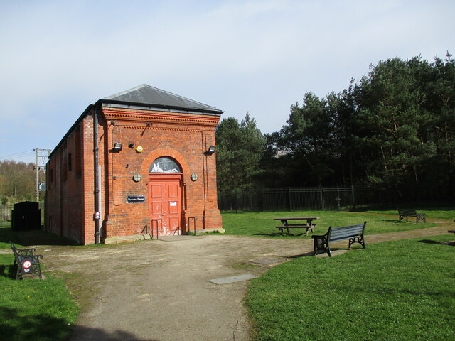
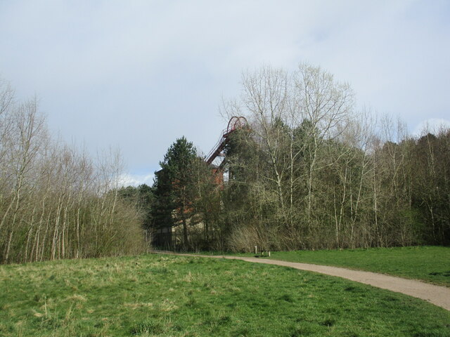
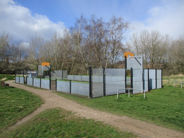
Butler's Hill Images
Images are sourced within 2km of 53.029674/-1.192534 or Grid Reference SK5448. Thanks to Geograph Open Source API. All images are credited.


Butler's Hill is located at Grid Ref: SK5448 (Lat: 53.029674, Lng: -1.192534)
Administrative County: Nottinghamshire
District: Ashfield
Police Authority: Nottinghamshire
What 3 Words
///chew.mess.many. Near Hucknall, Nottinghamshire
Nearby Locations
Related Wikis

Butler's Hill
Butler's Hill is a residential area near to the town centre of Hucknall. It is approximately seven miles north-west of Nottingham, England. The Butler...
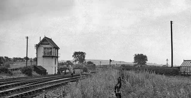
Butler's Hill railway station
Butler's Hill railway station was a former station on the Great Northern Railway's Nottingham to Shirebrook line.The station should not be confused with...
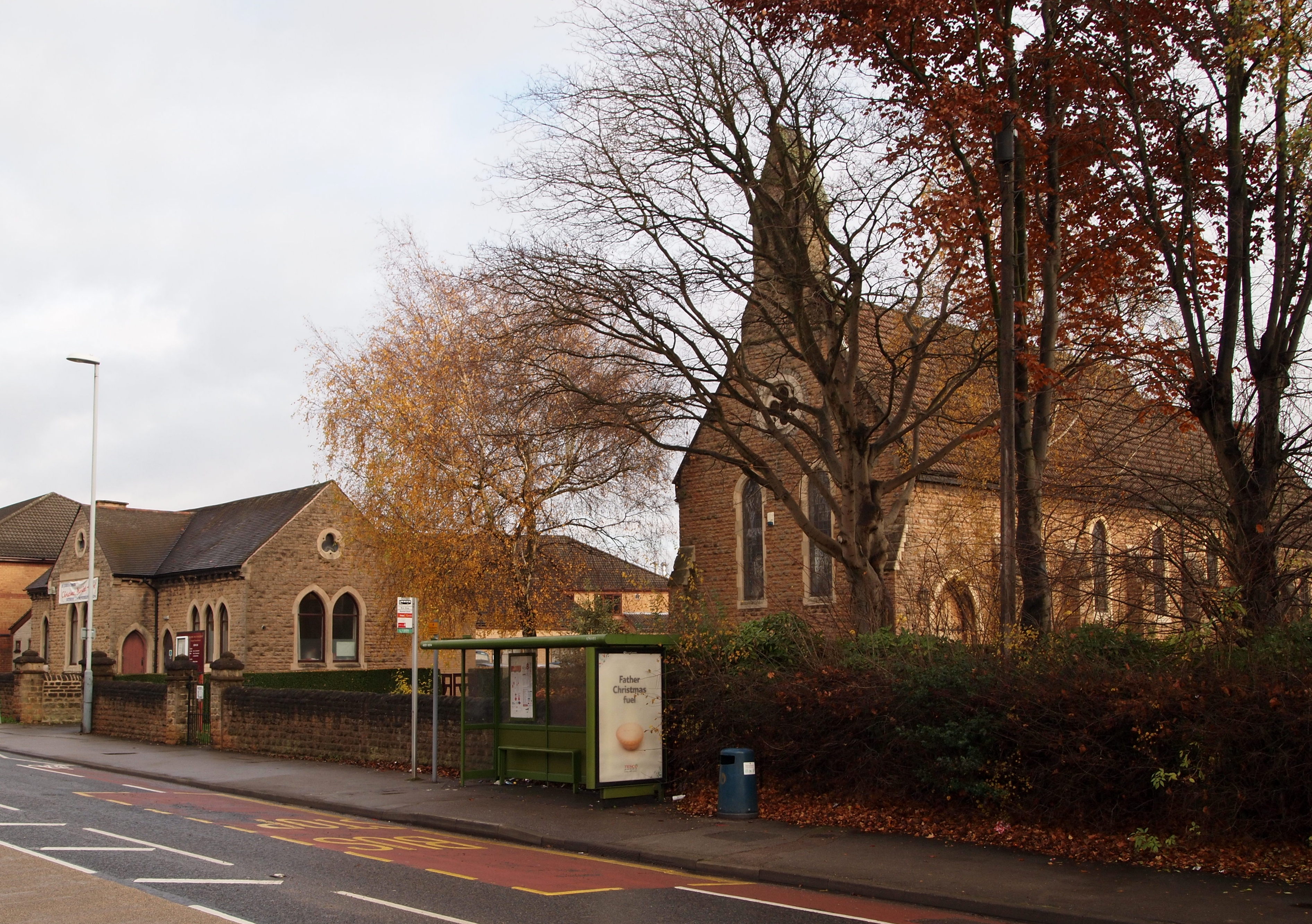
Church of St John the Evangelist, Hucknall
The Church of St John the Evangelist, Hucknall is a parish church in the Church of England in the Butler's Hill suburb of Hucknall, Nottinghamshire....

Butler's Hill tram stop
Butler's Hill is a tram stop on the Nottingham Express Transit network, serving the suburb of Butler's Hill, Ashfield in Nottinghamshire, England. The...
Related Videos

Bestwood Country Park | Places To Visit In Nottingham | 4K Drone Footage
Join me on a walk around Bestwood Country Park, a sprawling oasis of natural beauty nestled in the heart of Nottingham!
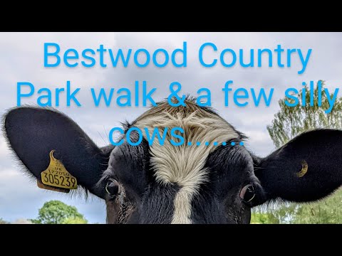
Cows, views and beautiful sunny walks. Join me as I discover Bestwood Country Park
Join me as I walk through a little gem of a country park in Nottinghamshire. Magical woods, beautiful views and amazing ...

Nottingham Car Boot Sale | Vlog - 4 | Summer Vacation | Indian Student in UK
Hello Everyone Hope you all are doing well. This is our Fourth vlog in which I'll Show you Hucknall Car Boot Market.
Nearby Amenities
Located within 500m of 53.029674,-1.192534Have you been to Butler's Hill?
Leave your review of Butler's Hill below (or comments, questions and feedback).