Coed Uchaf
Wood, Forest in Merionethshire
Wales
Coed Uchaf

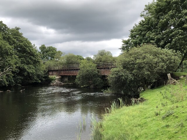
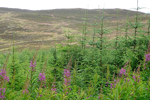
Coed Uchaf is a picturesque woodland located in Merionethshire, Wales. Situated in the heart of Snowdonia National Park, it covers an area of approximately 100 hectares, making it one of the largest woodlands in the region. Coed Uchaf is known for its diverse range of tree species, including oak, beech, ash, and birch, which create a stunning display of colors throughout the year.
The woodland is a haven for wildlife enthusiasts, offering a habitat to a variety of animal species. Visitors may spot red squirrels, badgers, foxes, and a wide range of bird species, including buzzards, woodpeckers, and tawny owls. Coed Uchaf is also home to several rare and protected species, such as the lesser horseshoe bat and the pearl-bordered fritillary butterfly.
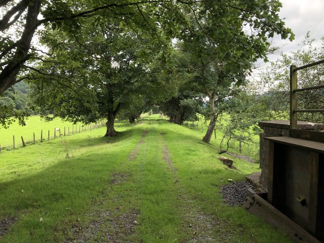
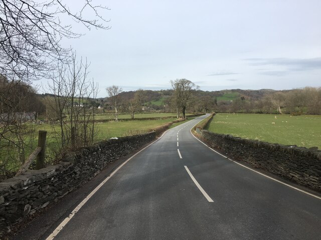
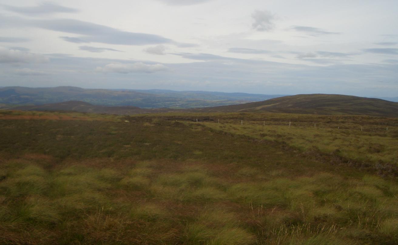
The woodland boasts an extensive network of well-maintained footpaths, allowing visitors to explore its natural beauty. These trails cater to different abilities, offering options for leisurely strolls or more challenging hikes. Along the way, visitors can enjoy breathtaking views of the surrounding mountains and valleys.
Furthermore, Coed Uchaf is managed by a team of dedicated conservationists who work tirelessly to protect and enhance its ecological value. They carry out regular tree planting initiatives, manage invasive species, and maintain the paths to ensure a safe and enjoyable experience for visitors.
Coed Uchaf is a true gem within the Merionethshire landscape, offering a tranquil escape and an opportunity to connect with nature. Whether you are a nature lover, a keen walker, or simply seeking a peaceful retreat, this woodland is a must-visit destination.
If you have any feedback on the listing, please let us know in the comments section below.
Coed Uchaf Images
Images are sourced within 2km of 52.913573/-3.4976636 or Grid Reference SH9936. Thanks to Geograph Open Source API. All images are credited.


Coed Uchaf is located at Grid Ref: SH9936 (Lat: 52.913573, Lng: -3.4976636)
Unitary Authority: Gwynedd
Police Authority: North Wales
What 3 Words
///drag.rush.innovate. Near Llandrillo, Denbighshire
Nearby Locations
Related Wikis
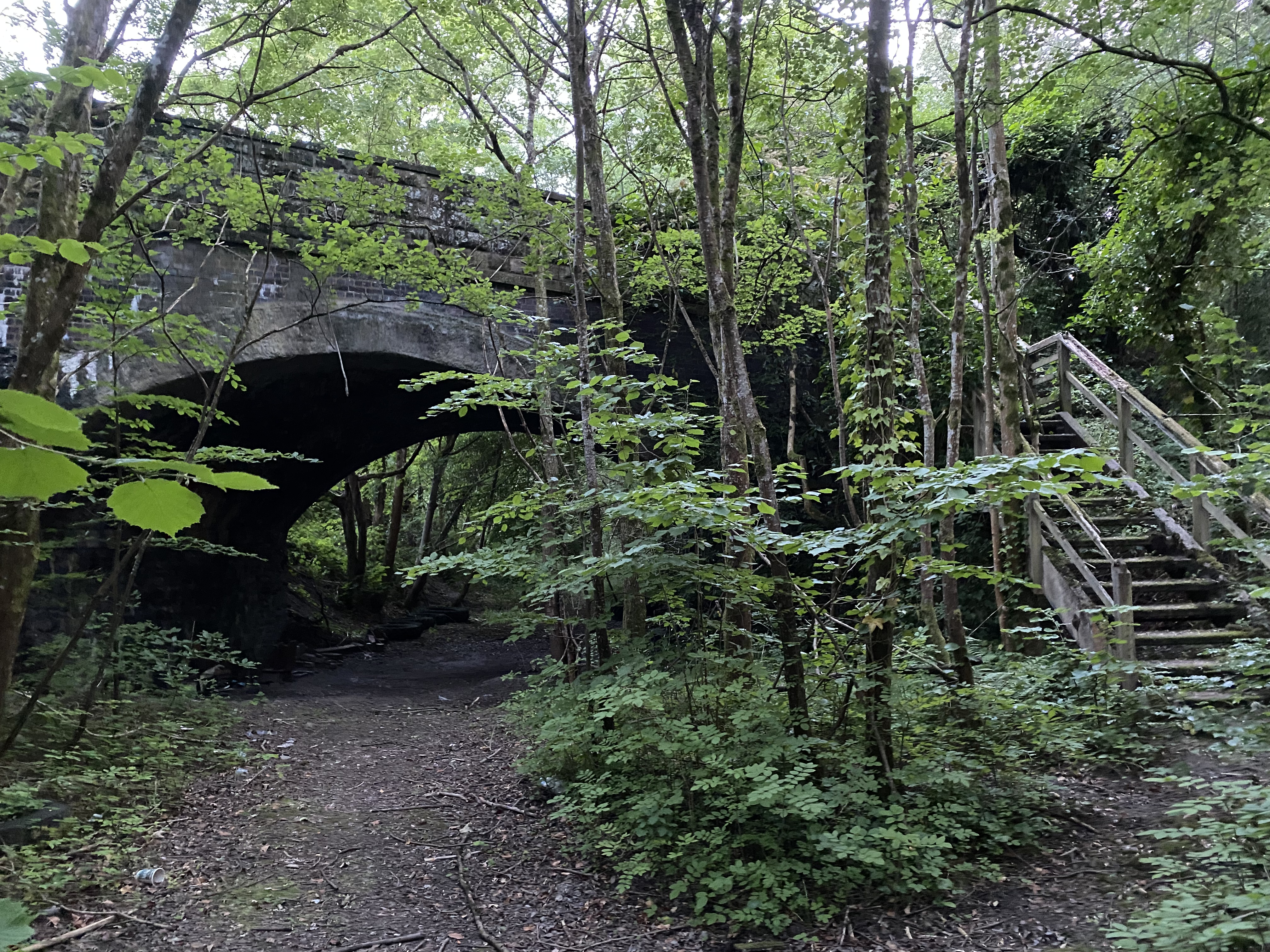
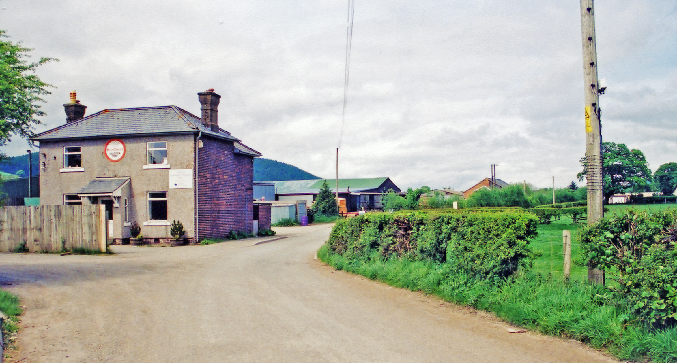
Llandderfel railway station
Llandderfel railway station in Gwynedd, Wales, was a station on the Ruabon to Barmouth line. It closed to passengers ahead of the scheduled closure date...

Llandderfel
Llandderfel is a village and a sparsely populated community in Gwynedd, Wales, near Bala, formerly served by the Llandderfel railway station. The community...

Cefnddwysarn
Cefnddwysarn () is a small village in Gwynedd, Wales. It is located on the A494 road approximately 3 miles east of the town of Bala and 8 miles west of...
Llandrillo railway station
Llandrillo railway station (ɬandriːɬɔ) in Denbighshire, Wales, was a station on the Ruabon to Barmouth line. It was to have closed to passengers on Monday...
Rhiwaedog
Rhiwaedog is the name of an ancient estate in North Wales, located in the Penllyn forest near Bala, Gwynedd. It gives its name today to two hills, Rhiwaedog...

Llandrillo, Denbighshire
Llandrillo (or, in full, Llandrillo yn Edeirnion) is a small village and community in the Edeirnion area of Denbighshire in Wales, between Bala, and Corwen...
Foel Cwm Sian Llŵyd
Foel Cwm Sian Llŵyd is a subsidiary summit of Cyrniau Nod in north east Wales. It forms a part of the Berwyn range known as the Hirnantau. Its summit has...
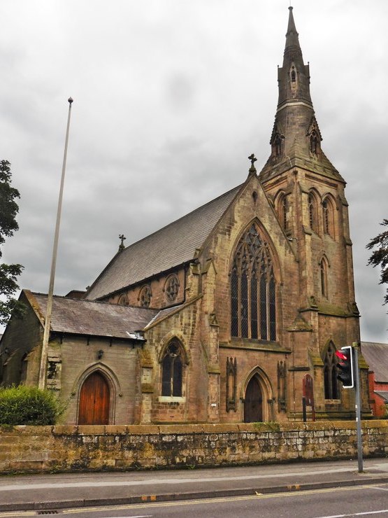
Roman Catholic Diocese of Wrexham
The Diocese of Wrexham, is a Latin Church ecclesiastical territory or diocese of the Catholic Church in Wales. The diocese is a suffragan in the ecclesiastical...
Nearby Amenities
Located within 500m of 52.913573,-3.4976636Have you been to Coed Uchaf?
Leave your review of Coed Uchaf below (or comments, questions and feedback).