Coed Kinmel
Wood, Forest in Flintshire
Wales
Coed Kinmel
Coed Kinmel is a wood located in Flintshire, Wales. Covering an area of approximately 200 acres, it is a picturesque and diverse forest that offers visitors a tranquil escape from the bustling city life. The wood is situated near the village of Kinmel and is easily accessible by road.
The forest is home to a wide variety of tree species, including oak, beech, and pine, creating a rich and vibrant ecosystem. These trees provide habitat for numerous bird species, such as woodpeckers and owls, making it an ideal spot for birdwatchers. The forest floor is covered with a lush carpet of ferns, wildflowers, and mosses, adding to its natural beauty.
Coed Kinmel offers several walking trails, ranging from short, leisurely strolls to longer, more challenging hikes. These paths weave through the woods, allowing visitors to immerse themselves in nature and enjoy the peaceful ambiance. Along the trails, there are designated picnic areas where visitors can rest and enjoy a packed lunch while surrounded by the beauty of the forest.
The wood is a popular destination for nature enthusiasts, families, and individuals seeking outdoor activities. It provides opportunities for wildlife spotting, photography, and exploring the natural environment. The forest is also a great place for educational visits, as it offers a chance to learn about the local flora and fauna.
Overall, Coed Kinmel in Flintshire is a stunning woodland that offers a serene and scenic experience for people of all ages. Its diverse ecosystem, picturesque trails, and abundance of wildlife make it a must-visit destination for those seeking a peaceful retreat in nature.
If you have any feedback on the listing, please let us know in the comments section below.
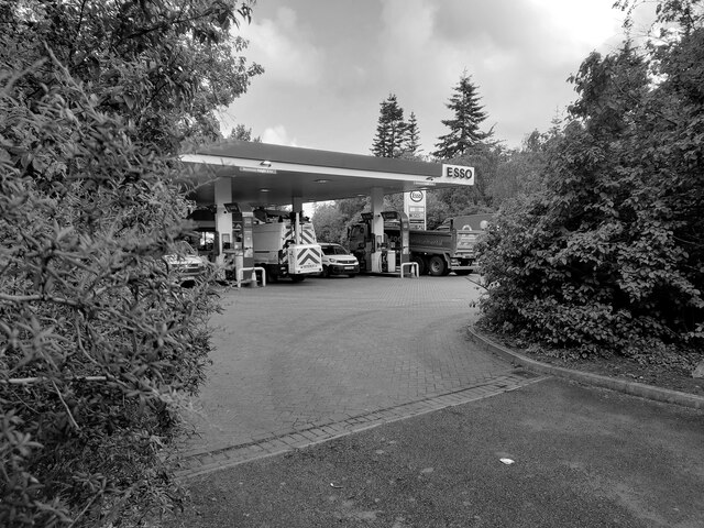
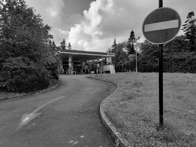
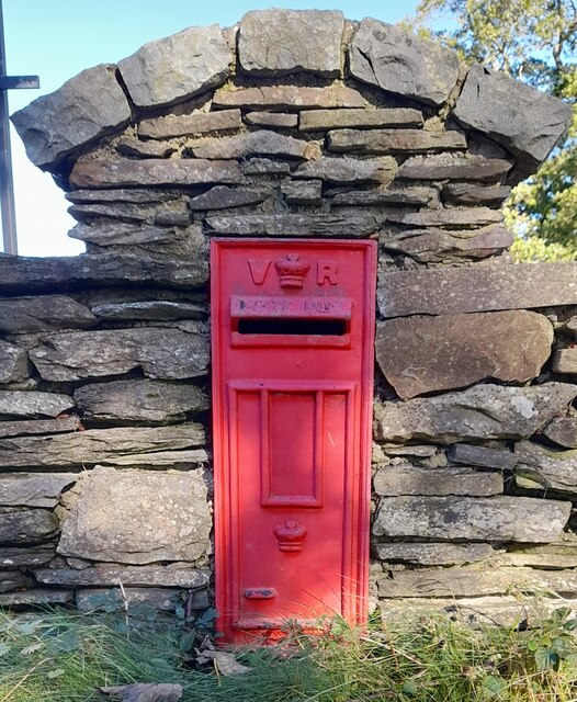
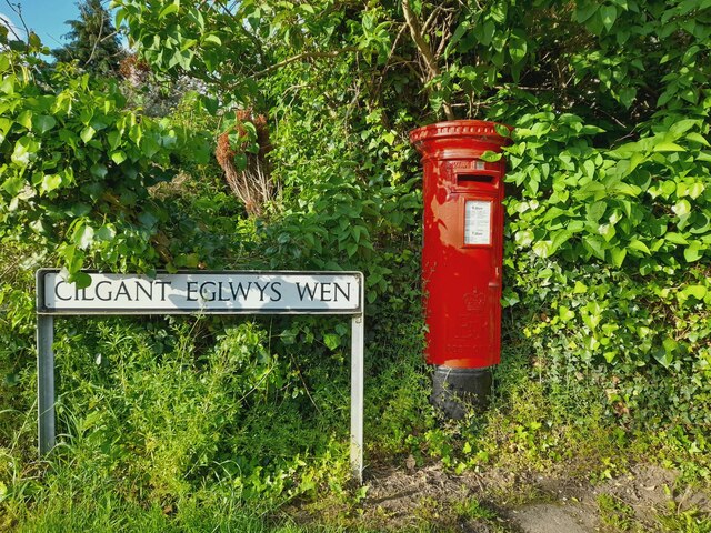
Coed Kinmel Images
Images are sourced within 2km of 53.255789/-3.5156203 or Grid Reference SH9874. Thanks to Geograph Open Source API. All images are credited.


Coed Kinmel is located at Grid Ref: SH9874 (Lat: 53.255789, Lng: -3.5156203)
Unitary Authority: Denbighshire
Police Authority: North Wales
What 3 Words
///circling.erase.coping. Near Bodelwyddan, Denbighshire
Nearby Locations
Related Wikis
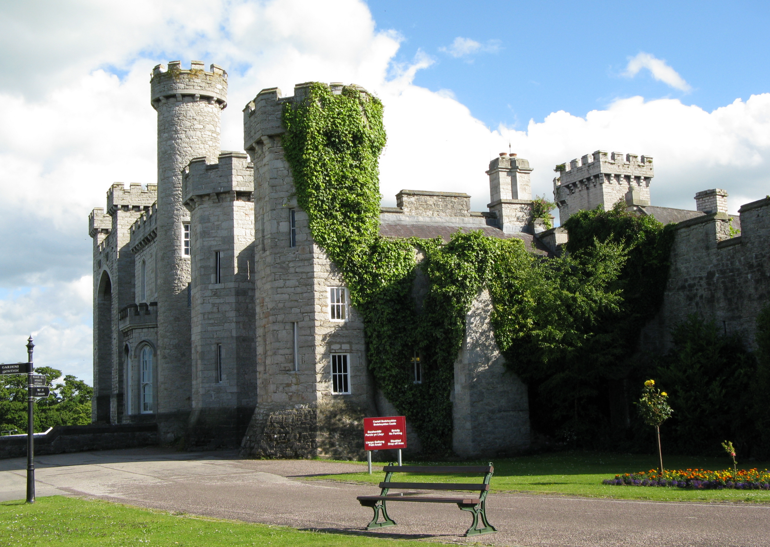
Bodelwyddan Castle
Bodelwyddan Castle (Welsh: Castell Bodelwyddan), close to the village of Bodelwyddan, near Rhyl, Denbighshire in Wales, was built around 1460 by the Humphreys...
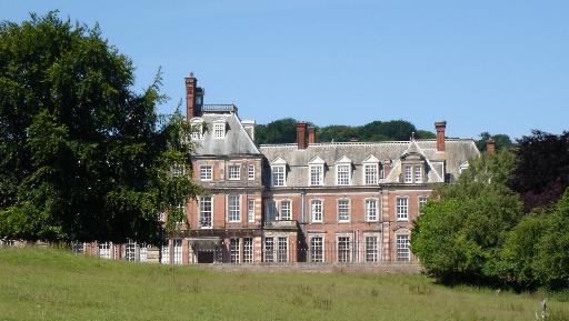
Kinmel Hall
Kinmel Hall is a large country mansion within Kimnel Park near the village of St. George, close to the coastal town of Abergele, in Conwy county borough...

Kinmel Park Training Area
Kinmel Park Training Area is an army training ground in what was once the grounds of Kinmel Hall, near Abergele, in Conwy county borough, Wales. The camp...
Bodelwyddan
Bodelwyddan (Welsh pronunciation: [bɔdɛlˈwəðan]) is a village, electoral ward and community in Denbighshire, Wales, approximately 5 miles (8 km) South...

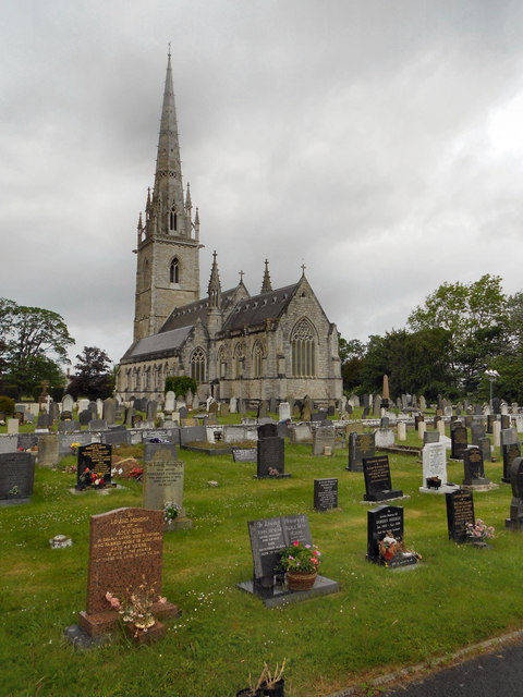
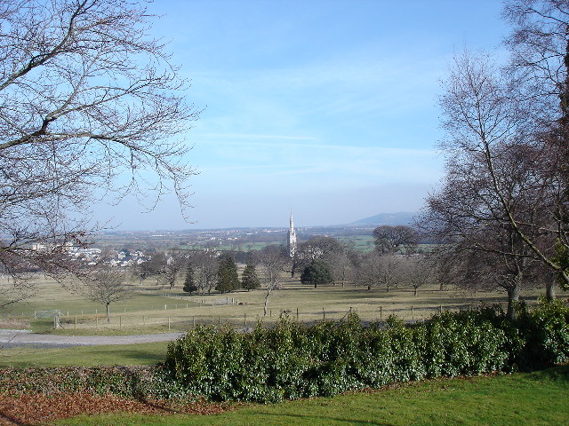
Marble Church, Bodelwyddan
St Margaret's Church, Bodelwyddan, nicknamed the Marble Church, is a Decorated Gothic Style parish church in the lower Vale of Clwyd in Denbighshire, Wales...

St George, Conwy
St George (Welsh: Llansansior, sometimes Llan San(t) Siôr or Llan Sain Siôr) is a small village in the county borough of Conwy, Wales and is close to the...
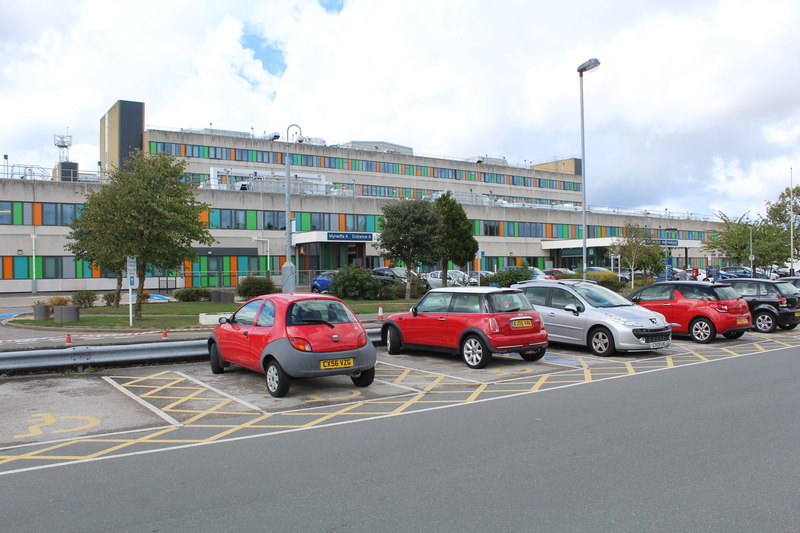
Glan Clwyd Hospital
Glan Clwyd Hospital (Welsh: Ysbyty Glan Clwyd) is a hospital in Bodelwyddan, Denbighshire, Wales. It is managed by the Betsi Cadwaladr University Health...
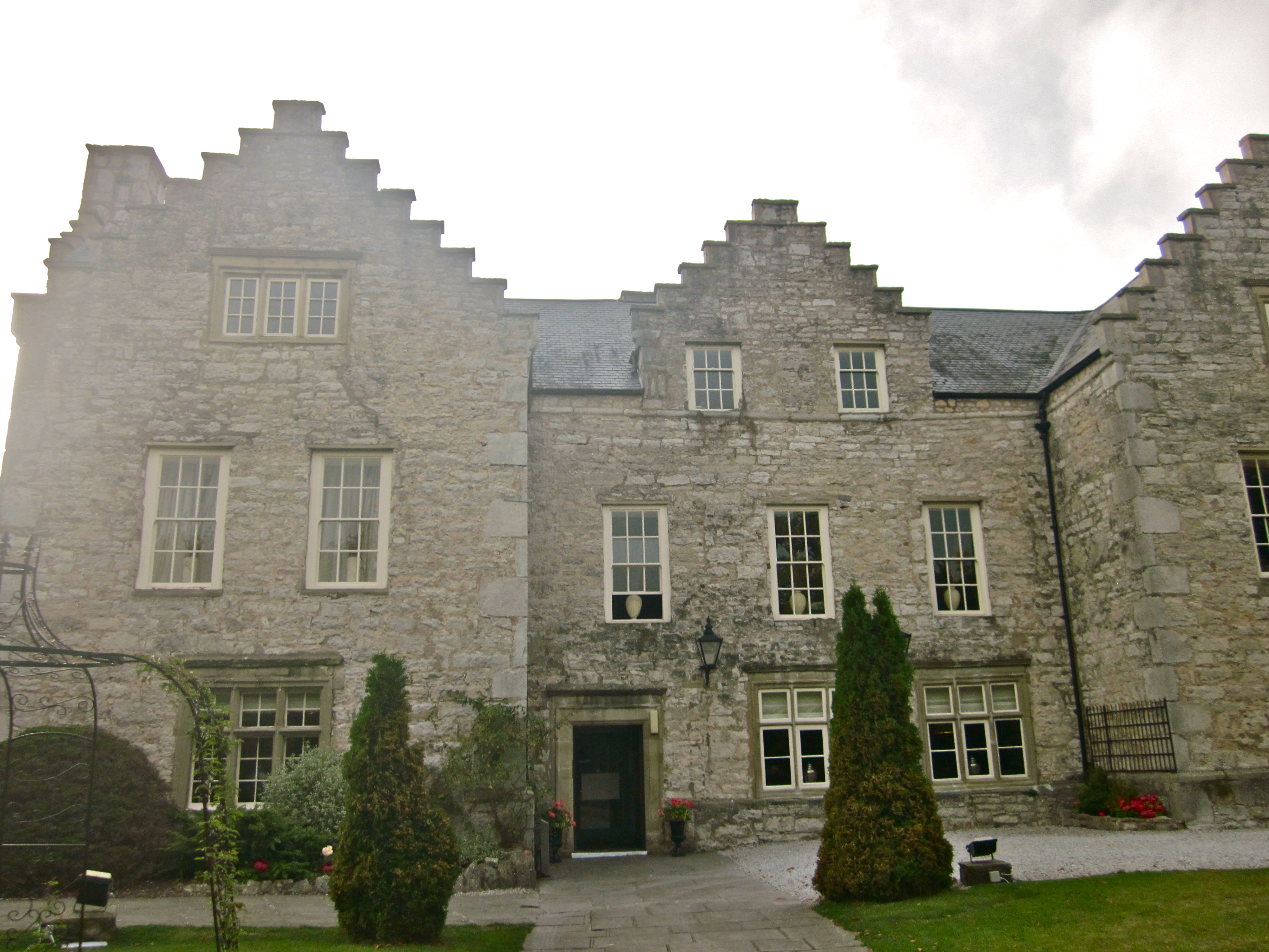
Faenol Fawr, Bodelwyddan
Faenol Fawr is an Elizabethan ‘H’ plan mansion with crow stepped gables. The house is situated immediately to the north of Glan Clwyd Hospital in the parish...
Nearby Amenities
Located within 500m of 53.255789,-3.5156203Have you been to Coed Kinmel?
Leave your review of Coed Kinmel below (or comments, questions and feedback).