Coed Bryn-y-pin
Wood, Forest in Flintshire
Wales
Coed Bryn-y-pin
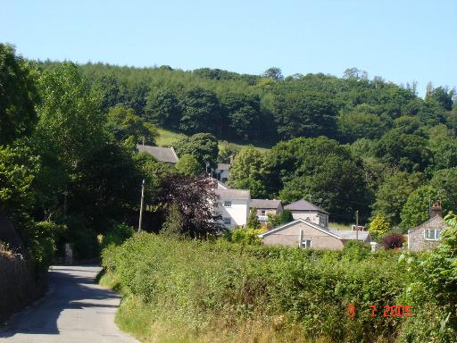
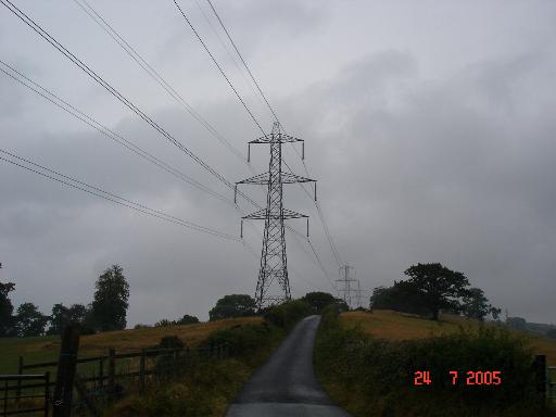
Coed Bryn-y-pin is a captivating woodland located in Flintshire, Wales. Spanning over a vast area, it is a haven for nature enthusiasts and outdoor adventurers. The woodland is situated near the village of Gwernymynydd, offering a tranquil escape from the hustle and bustle of city life.
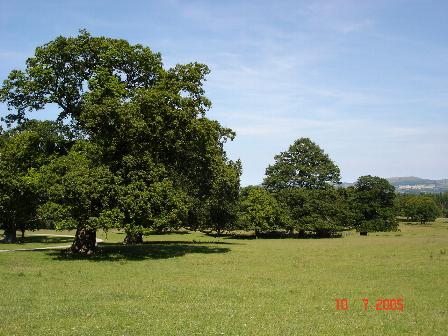
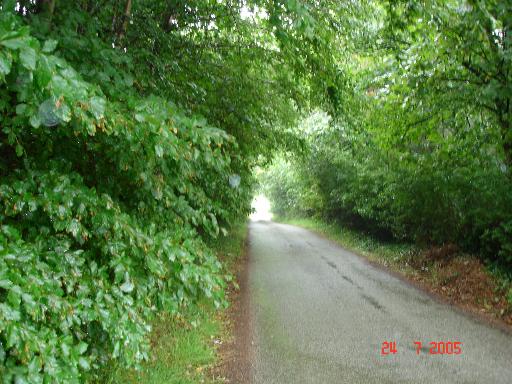
One of the defining features of Coed Bryn-y-pin is its dense forest cover, which consists predominantly of mixed deciduous trees. Ancient oaks, beeches, and birches provide a lush canopy, creating a serene atmosphere throughout the woodland. The vibrant foliage displays a stunning array of colors during autumn, making it a popular destination for leaf peepers.
The woodland is crisscrossed by a network of well-maintained trails, allowing visitors to explore its natural beauty at their own pace. These paths cater to both casual strollers and seasoned hikers, offering a range of difficulty levels. Along the way, visitors can discover a variety of flora and fauna, including wildflowers, ferns, and a diverse range of bird species.
Coed Bryn-y-pin also boasts a rich historical heritage. The remnants of old mining operations can still be seen, serving as a reminder of Flintshire's industrial past. Additionally, the woodland offers a glimpse into the region's ancient history, with archaeological evidence of human activity dating back centuries.
With its picturesque scenery and abundant wildlife, Coed Bryn-y-pin is a cherished natural treasure in Flintshire. Whether it's a leisurely stroll, a family picnic, or an immersive nature hike, this woodland offers a diverse range of experiences for all who visit.
If you have any feedback on the listing, please let us know in the comments section below.
Coed Bryn-y-pin Images
Images are sourced within 2km of 53.253491/-3.5209804 or Grid Reference SH9874. Thanks to Geograph Open Source API. All images are credited.


Coed Bryn-y-pin is located at Grid Ref: SH9874 (Lat: 53.253491, Lng: -3.5209804)
Unitary Authority: Denbighshire
Police Authority: North Wales
What 3 Words
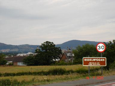
///coasters.zips.uproot. Near Bodelwyddan, Denbighshire
Nearby Locations
Related Wikis
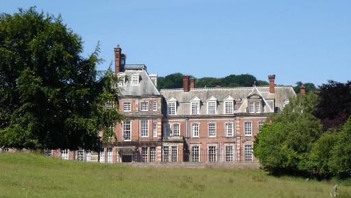
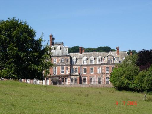
Kinmel Hall
Kinmel Hall is a large country mansion within Kimnel Park near the village of St. George, close to the coastal town of Abergele, in Conwy county borough...

Kinmel Park Training Area
Kinmel Park Training Area is an army training ground in what was once the grounds of Kinmel Hall, near Abergele, in Conwy county borough, Wales. The camp...
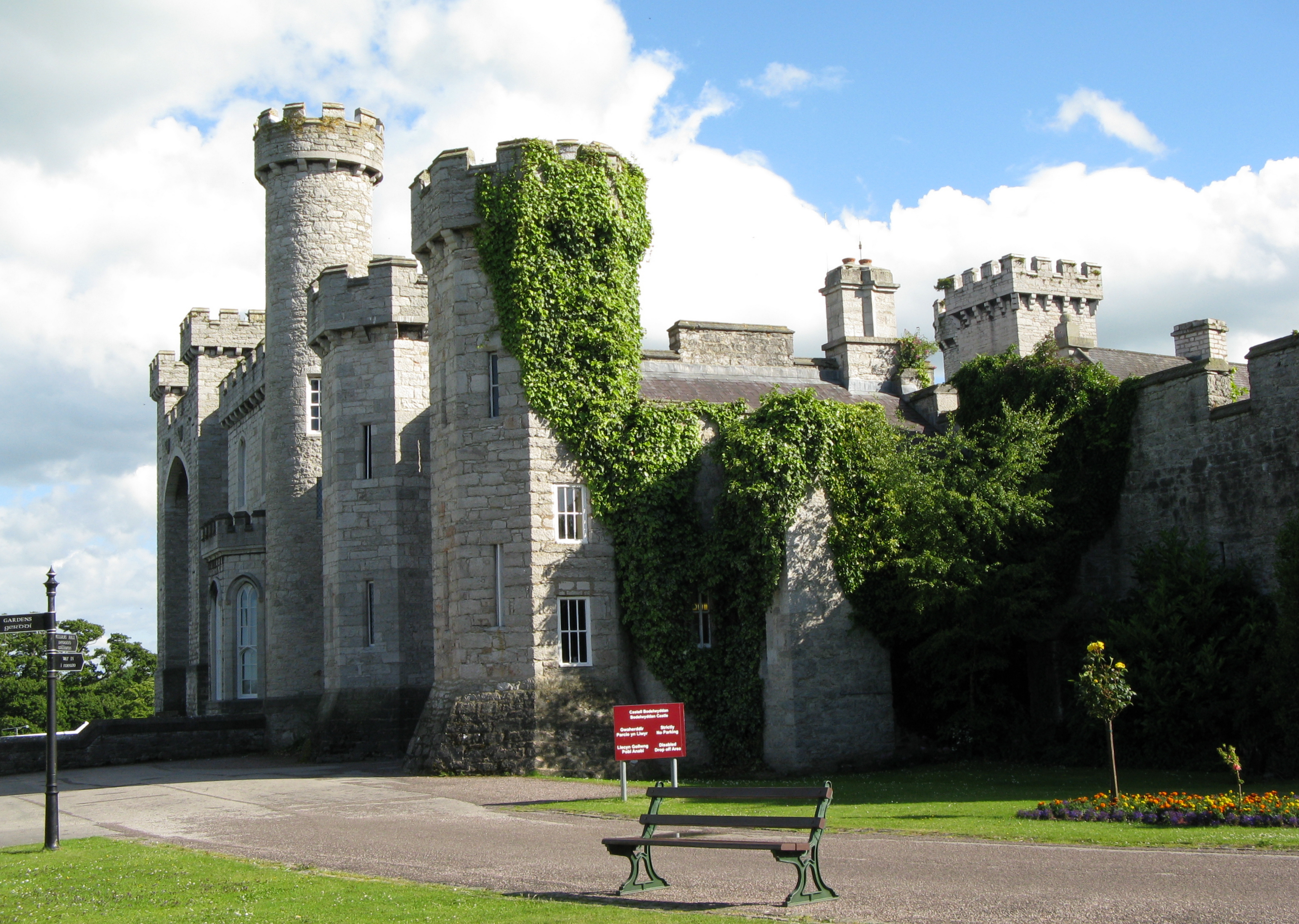
Bodelwyddan Castle
Bodelwyddan Castle (Welsh: Castell Bodelwyddan), close to the village of Bodelwyddan, near Rhyl, Denbighshire in Wales, was built around 1460 by the Humphreys...

St George, Conwy
St George (Welsh: Llansansior, sometimes Llan San(t) Siôr or Llan Sain Siôr) is a small village in the county borough of Conwy, Wales and is close to the...
Nearby Amenities
Located within 500m of 53.253491,-3.5209804Have you been to Coed Bryn-y-pin?
Leave your review of Coed Bryn-y-pin below (or comments, questions and feedback).