Coed Allt Forgan

Wood, Forest in Montgomeryshire

Wales

Coed Allt Forgan

Lake Vyrnwy View across Lake Vyrnwy from a bird hide.
Lake Vyrnwy Credit: Peter McDermott

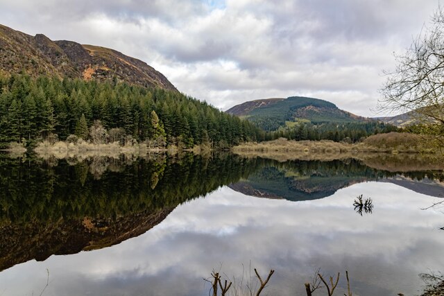
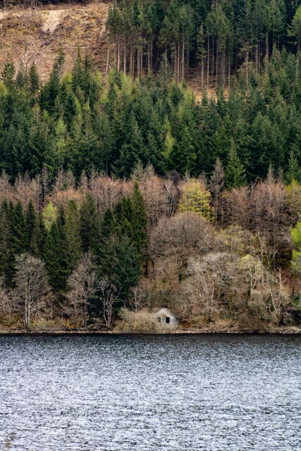
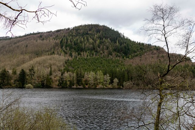
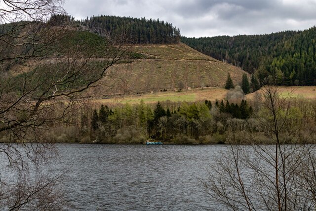
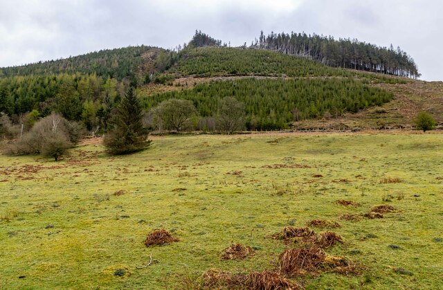
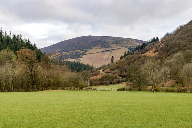
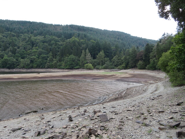
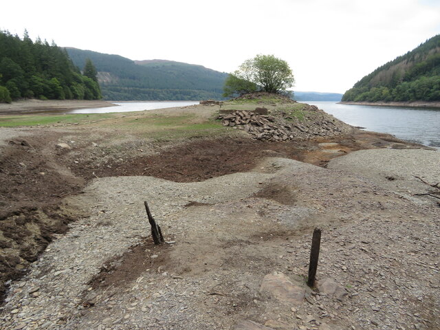
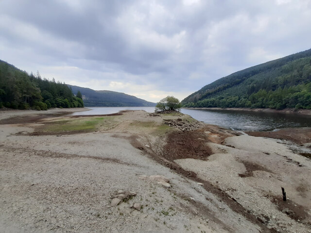
Coed Allt Forgan is a picturesque woodland located in Montgomeryshire, Wales. Covering an area of approximately 200 acres, it is a haven for nature enthusiasts and outdoor lovers. The woodland is situated in a valley, surrounded by rolling hills and breathtaking landscapes.

The forest is predominantly composed of native tree species, including oak, beech, and birch, creating a diverse and thriving ecosystem. These majestic trees provide shelter and a habitat for numerous bird species, such as woodpeckers, owls, and warblers. It is not uncommon to hear the melodic songs of these feathered creatures as you wander through the woodland.

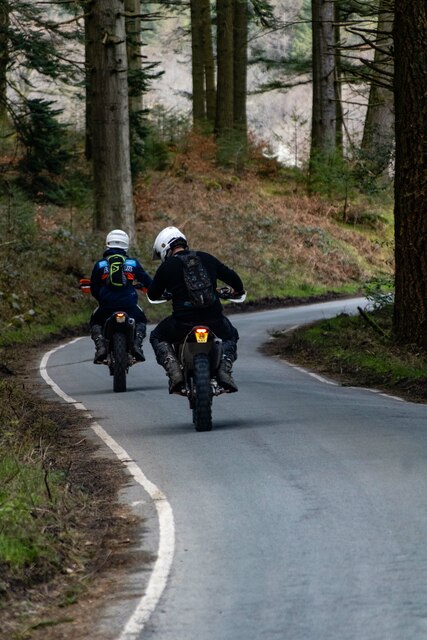
Coed Allt Forgan is crisscrossed by a network of well-maintained trails, making it a popular destination for hikers, walkers, and cyclists. These paths provide opportunities to explore the woodland's hidden corners and discover its hidden treasures. Along the way, visitors may encounter a variety of wildlife, including deer, foxes, and squirrels.

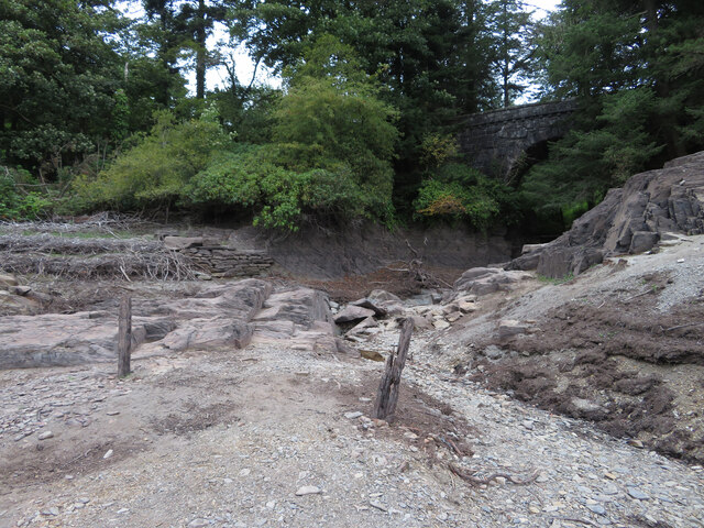
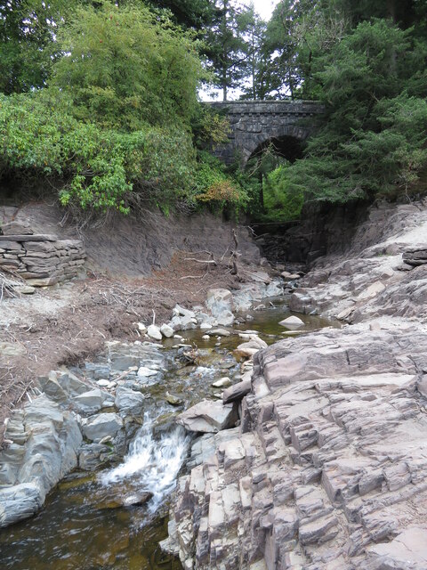
The woodland is also home to a small stream that meanders through the forest, adding to its overall charm. The sound of running water creates a tranquil and peaceful atmosphere, perfect for those seeking a moment of solitude or relaxation.

Coed Allt Forgan is a true gem of Montgomeryshire, offering visitors a chance to immerse themselves in nature's beauty. Whether you are a wildlife enthusiast, a nature lover, or simply looking for a peaceful retreat, this woodland is a must-visit destination.

If you have any feedback on the listing, please let us know in the comments section below.

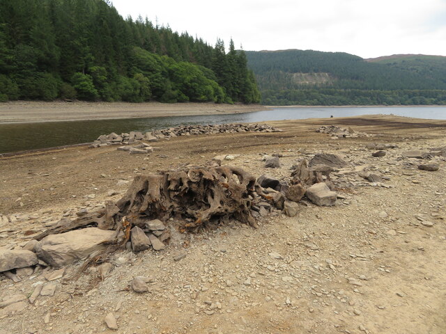
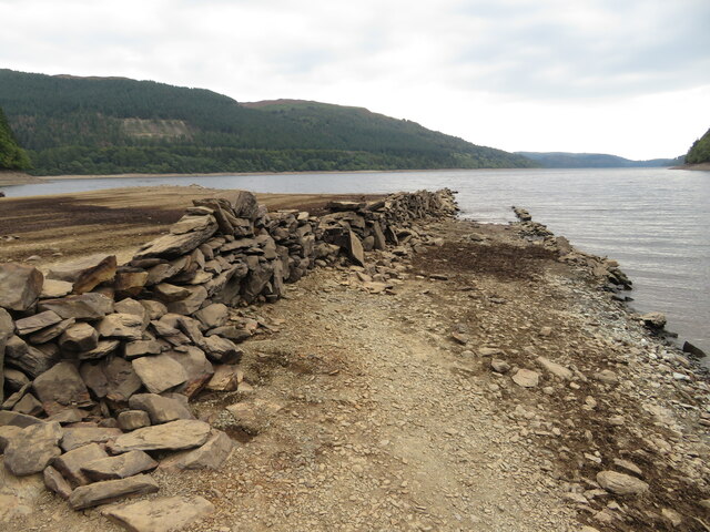
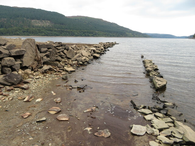
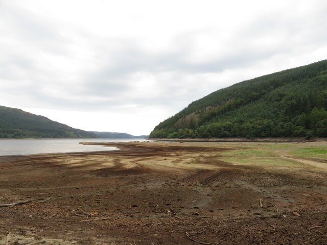
Coed Allt Forgan Images

Images are sourced within 2km of 52.803157/-3.5271096 or Grid Reference SH9723. Thanks to Geograph Open Source API. All images are credited.

Lake Vyrnwy View across Lake Vyrnwy from a bird hide.
Lake Vyrnwy
View across Lake Vyrnwy from a bird hide.
Lake Vyrnwy View across Lake Vyrnwy to small building in the opposite shore.
Lake Vyrnwy
View across Lake Vyrnwy to small building in the opposite shore.
Coed yr Allt Looking across Lake Vyrnwy to Coed yr Allt.
Coed yr Allt
Looking across Lake Vyrnwy to Coed yr Allt.
Lake Vyrnwy View looking across Lake Vyrnwy to clear fell forestry.
Lake Vyrnwy
View looking across Lake Vyrnwy to clear fell forestry.
Lake Vyrnwy
Lake Vyrnwy
Ceunant Moel-y-nant
Ceunant Moel-y-nant
Afon Nadroedd Looking up the valley of the Afon Nadroedd with Yr Eithin in the background.
Afon Nadroedd
Looking up the valley of the Afon Nadroedd with Yr Eithin in the background.
Depleted Lake Vyrnwy near Pont Eunant The level of the reservoir is low, exposing land that is usually covered with water.
Depleted Lake Vyrnwy near Pont Eunant
The level of the reservoir is low, exposing land that is usually covered with water.
Mouth of the Eunant Fawr at Pont Eunant The level of the reservoir is low, exposing land that is usually covered with water.
Mouth of the Eunant Fawr at Pont Eunant
The level of the reservoir is low, exposing land that is usually covered with water.
Mouth of the Eunant Fawr at Pont Eunant The level of the reservoir is low, exposing land that is usually covered with water.
Mouth of the Eunant Fawr at Pont Eunant
The level of the reservoir is low, exposing land that is usually covered with water.
Depleted Lake Vyrnwy near Pont Eunant The level of the reservoir is low, exposing land that is usually covered with water. The tree shown here can usually be seen growing on an island in the lake, for example: <a href="https://www.geograph.org.uk/photo/7150248">SH9622 : Lake Vyrnwy</a>
Depleted Lake Vyrnwy near Pont Eunant
The level of the reservoir is low, exposing land that is usually covered with water. The tree shown here can usually be seen growing on an island in the lake, for example: SH9622 : Lake Vyrnwy
Depleted Lake Vyrnwy near Pont Eunant The level of the reservoir is low, exposing land that is usually covered with water.
Depleted Lake Vyrnwy near Pont Eunant
The level of the reservoir is low, exposing land that is usually covered with water.
Depleted Lake Vyrnwy near Pont Eunant The level of the reservoir is low, exposing land that is usually covered with water.
Depleted Lake Vyrnwy near Pont Eunant
The level of the reservoir is low, exposing land that is usually covered with water.
Remains of walls usually beneath Lake Vrynwy The level of the reservoir is low, exposing land that is usually covered with water.
Remains of walls usually beneath Lake Vrynwy
The level of the reservoir is low, exposing land that is usually covered with water.
Depleted Lake Vyrnwy near Pont Eunant The level of the reservoir is low, exposing land that is usually covered with water.
Depleted Lake Vyrnwy near Pont Eunant
The level of the reservoir is low, exposing land that is usually covered with water.
Depleted Lake Vyrnwy near Pont Eunant The level of the reservoir is low, exposing land that is usually covered with water. The tree shown here can usually be seen growing on an island in the lake, for example: <a href="https://www.geograph.org.uk/photo/7150248">SH9622 : Lake Vyrnwy</a>
Depleted Lake Vyrnwy near Pont Eunant
The level of the reservoir is low, exposing land that is usually covered with water. The tree shown here can usually be seen growing on an island in the lake, for example: SH9622 : Lake Vyrnwy
Riding the forest track by the Nant y Ffynant A pleasant forest track a couple of hundred feet above the lake
Riding the forest track by the Nant y Ffynant
A pleasant forest track a couple of hundred feet above the lake
Show me another place!

Coed Allt Forgan is located at Grid Ref: SH9723 (Lat: 52.803157, Lng: -3.5271096)

Unitary Authority: Powys

Police Authority: Dyfed Powys

What 3 Words

///done.cracking.eliminate. Near Llangynog, Powys

Related Wikis

Rhiwargor

Rhiwargor is a hamlet in Powys, Wales. It is located north of Lake Vyrnwy. The hamlet is made up of a few houses with no amenities. It does however, lie...
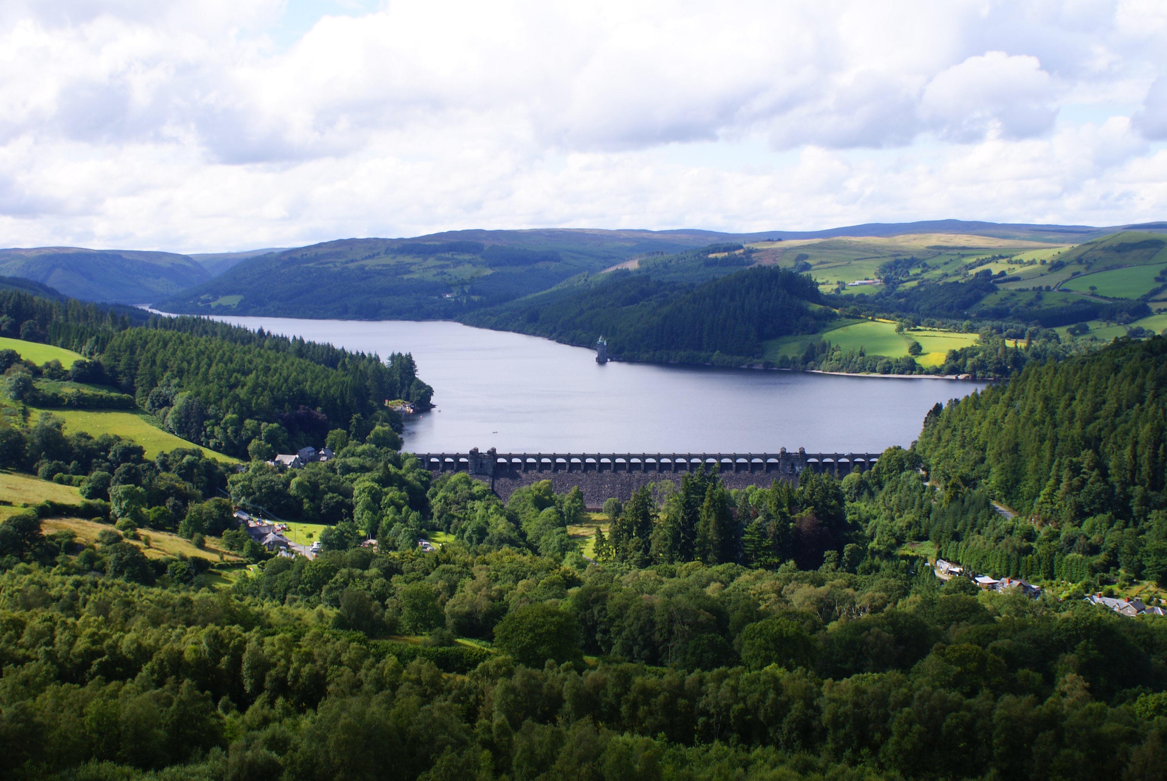
Lake Vyrnwy

Lake Vyrnwy (Welsh: Llyn Efyrnwy, pronounced [ɛˈvərnʊɨ] or Llyn Llanwddyn) is a reservoir in Powys, Wales, built in the 1880s for Liverpool Corporation...

Foel y Geifr

Foel y Geifr is a subsidiary summit of Esgeiriau Gwynion, and included in a group of hills known as the Hirnantau. These hills rise from the south east...

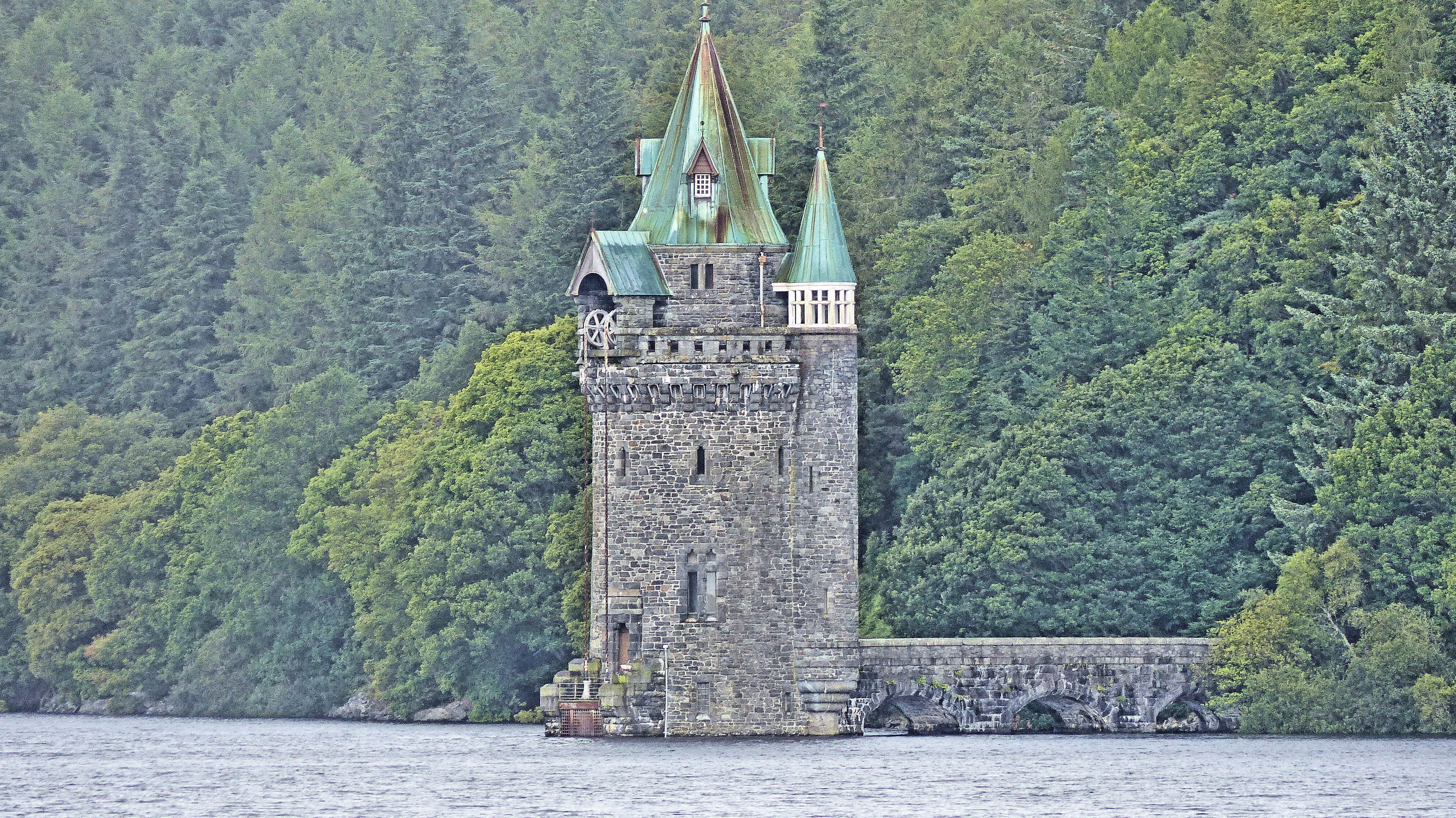
Lake Vyrnwy Straining Tower

The Straining Tower at Lake Vyrnwy is an intake tower built to extract water from the lake. The tower stands on the north shore of Lake Vyrnwy, near the...

Nearby Amenities

Located within 500m of 52.803157,-3.5271096
Created By: POI Editor
Source: npe
Lat/Long: 52.8038369/-3.5316877
Source: npe
Lat/Long: 52.8020914/-3.5308933
Source: npe
Lat/Long: 52.8014946/-3.5302925
Created By: POI Editor
Source: npe
Lat/Long: 52.8001904/-3.5300168
Shelter
Centenary hide
Shelter Type: wildlife_hide
Lat/Long: 52.8037114/-3.533991
Shelter
Lakeside bird hide
Shelter Type: wildlife_hide
Lat/Long: 52.7994857/-3.5298492
The data included in this document is from www.openstreetmap.org. The data is made available under ODbL.

Have you been to Coed Allt Forgan?

Leave your review of Coed Allt Forgan below (or comments, questions and feedback).