Ceunant Moel-y-nant
Valley in Montgomeryshire
Wales
Ceunant Moel-y-nant
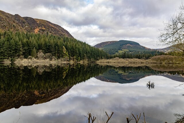
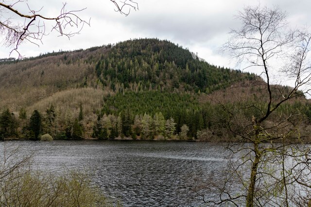
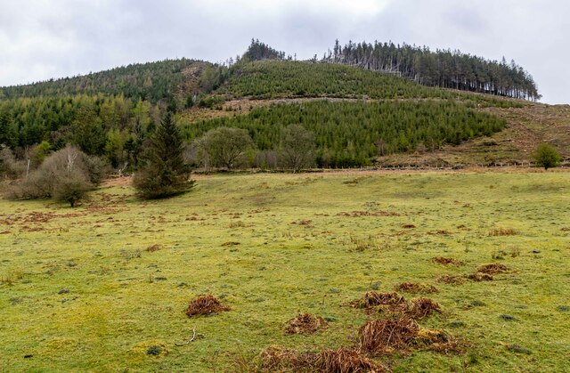
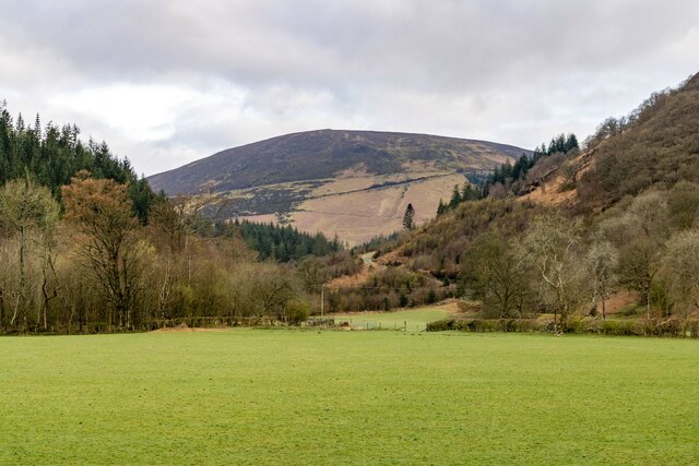
Ceunant Moel-y-nant is a picturesque valley located in Montgomeryshire, Wales. Nestled amidst the rolling hills and lush greenery, it offers a serene and idyllic setting for nature lovers and outdoor enthusiasts. The valley is situated approximately 5 miles southwest of the town of Welshpool.
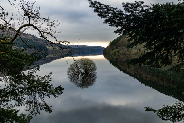
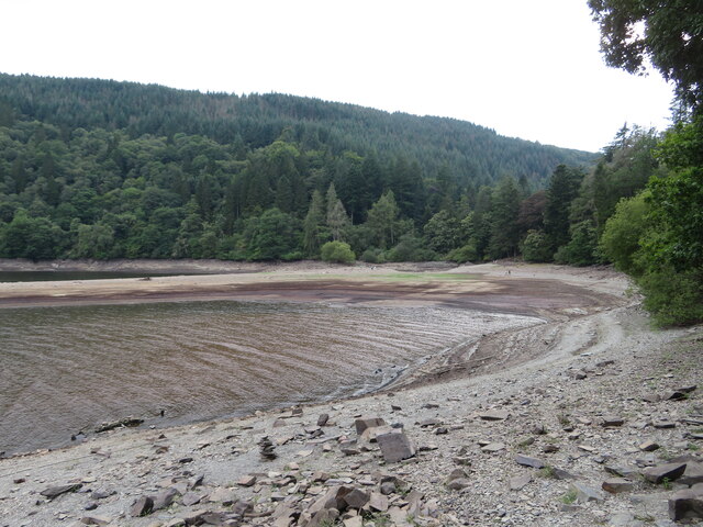
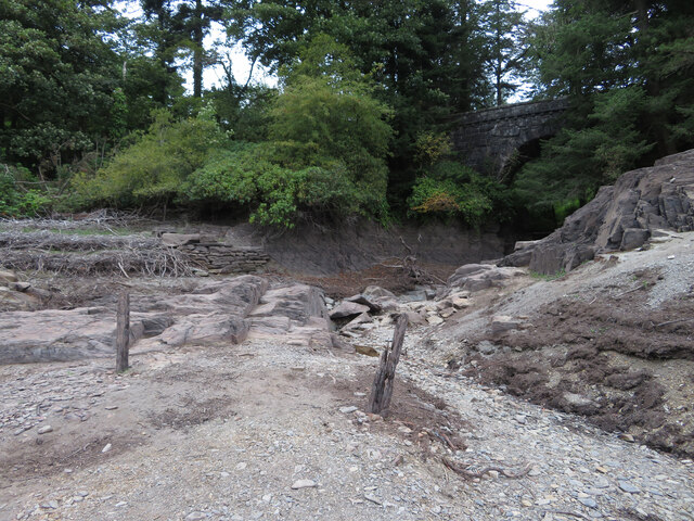
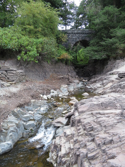
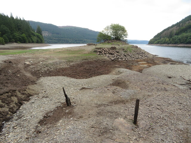
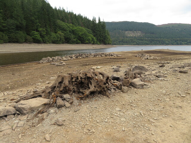
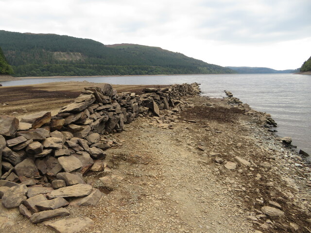
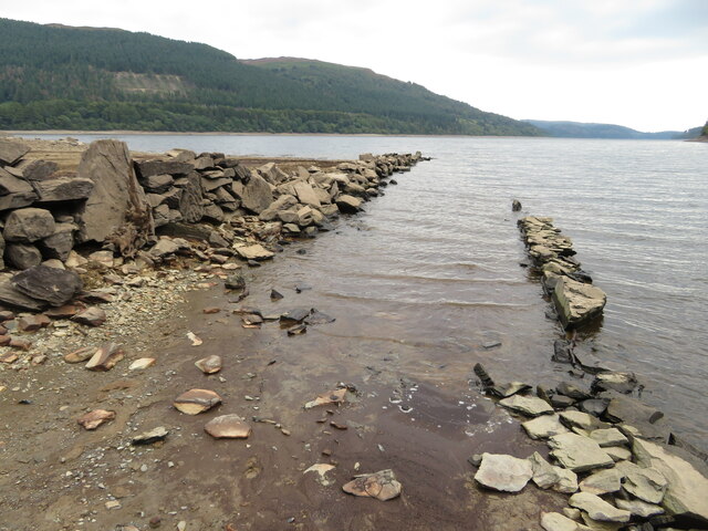
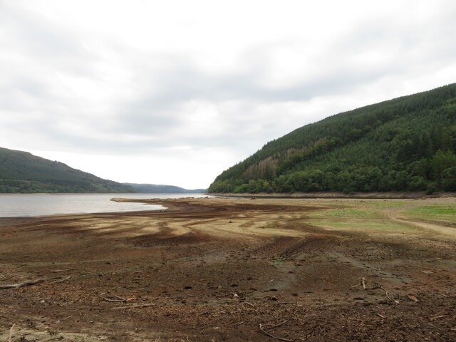
The name "Ceunant Moel-y-nant" translates to "Bare Stream Valley" in English, which accurately describes the landscape. The valley is traversed by a tranquil stream that meanders through the rugged terrain, creating small waterfalls and cascades along its course. These natural features contribute to the valley's charm and attract hikers and photographers alike.
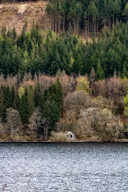
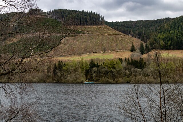
The vegetation in Ceunant Moel-y-nant is diverse and rich, with a variety of plant species thriving in the valley's microclimate. Ancient oak trees, ferns, and moss-covered rocks can be found throughout the area, creating a mystical atmosphere. The valley is also home to numerous species of birds, adding to the region's biodiversity.
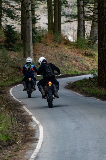
Visitors to Ceunant Moel-y-nant can explore the valley by following the well-maintained footpaths that wind through the landscape. These paths offer stunning views of the surrounding countryside and provide opportunities for wildlife spotting. Additionally, the valley is a popular spot for picnics and relaxation, with several designated areas providing benches and tables for visitors to enjoy the tranquil surroundings.
Overall, Ceunant Moel-y-nant is a hidden gem in Montgomeryshire, offering a peaceful retreat for those seeking to immerse themselves in nature's beauty. Its untouched landscapes, diverse flora, and serene ambiance make it a place worth exploring and experiencing.
If you have any feedback on the listing, please let us know in the comments section below.
Ceunant Moel-y-nant Images
Images are sourced within 2km of 52.800283/-3.5248284 or Grid Reference SH9723. Thanks to Geograph Open Source API. All images are credited.


Ceunant Moel-y-nant is located at Grid Ref: SH9723 (Lat: 52.800283, Lng: -3.5248284)
Unitary Authority: Powys
Police Authority: Dyfed Powys
What 3 Words
///crabmeat.carbonate.explored. Near Llangynog, Powys
Nearby Locations
Related Wikis

Rhiwargor
Rhiwargor is a hamlet in Powys, Wales. It is located north of Lake Vyrnwy. The hamlet is made up of a few houses with no amenities. It does however, lie...
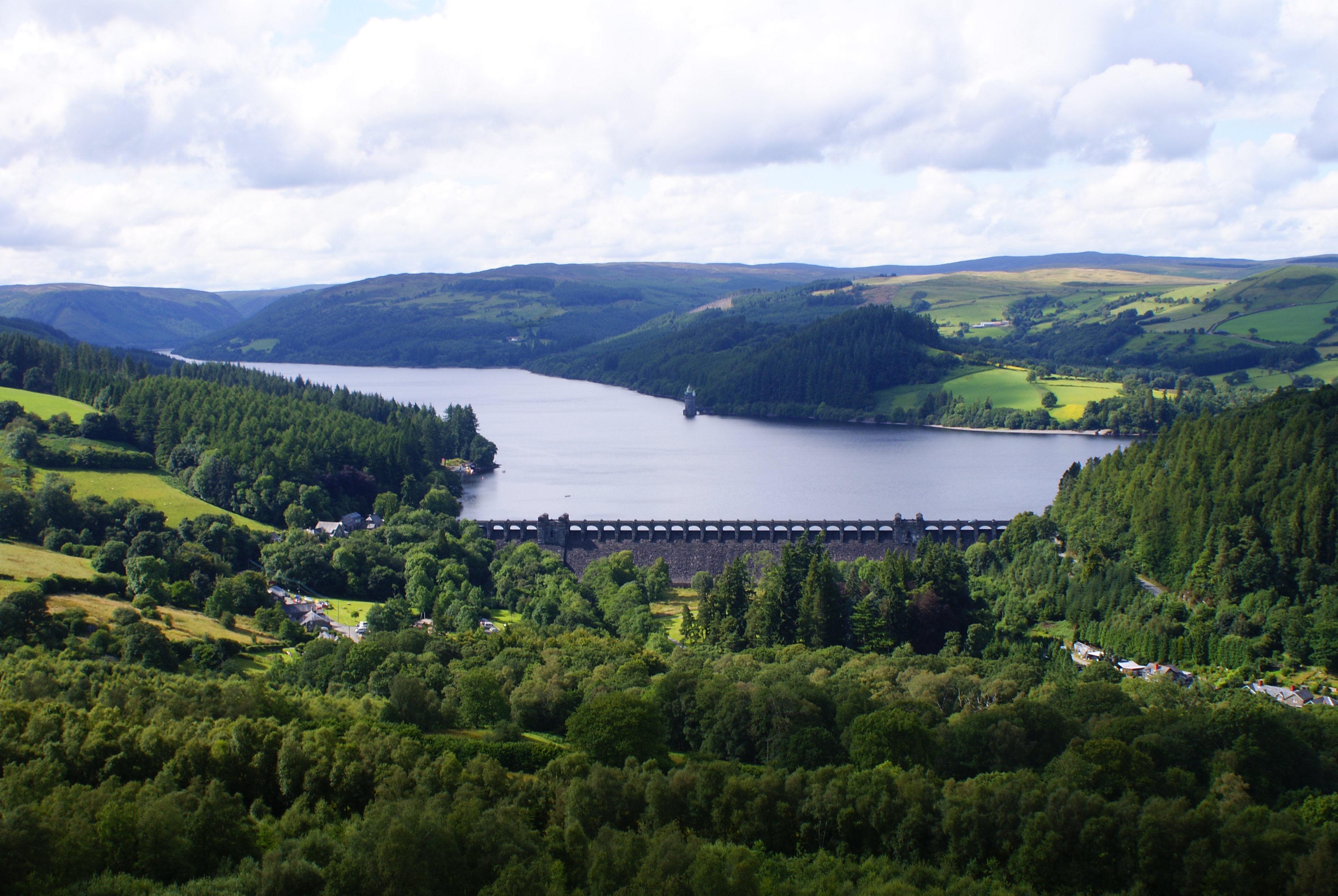
Lake Vyrnwy
Lake Vyrnwy (Welsh: Llyn Efyrnwy, pronounced [ɛˈvərnʊɨ] or Llyn Llanwddyn) is a reservoir in Powys, Wales, built in the 1880s for Liverpool Corporation...
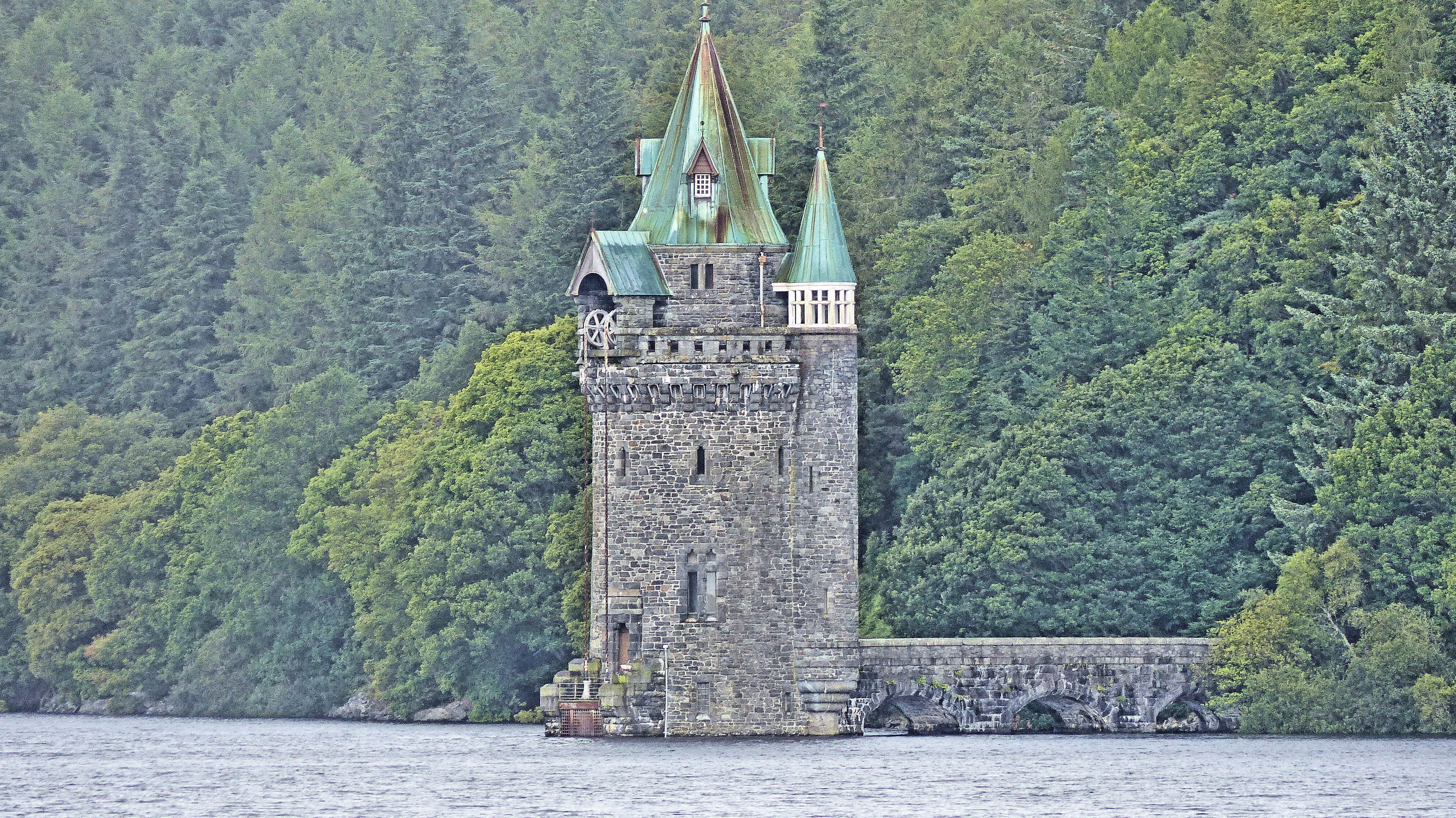
Lake Vyrnwy Straining Tower
The Straining Tower at Lake Vyrnwy is an intake tower built to extract water from the lake. The tower stands on the north shore of Lake Vyrnwy, near the...

Foel y Geifr
Foel y Geifr is a subsidiary summit of Esgeiriau Gwynion, and included in a group of hills known as the Hirnantau. These hills rise from the south east...

St Melangell's Church, Pennant Melangell
St Melangell's Church, Pennant Melangell, is a small church located on a minor road which joins the B4391 near the village of Llangynog, Powys, Wales....

Bwlch y Groes
Bwlch y Groes (translates from Welsh as pass of the cross) is the second highest public road mountain pass in Wales, with a summit altitude of 545 metres...

Foel Goch (Hirnant)
Foel Goch is a subsidiary summit of Esgeiriau Gwynion, and is included in a group of hills known as the Hirnantau. These hills rise from the south east...

Llanwddyn
Llanwddyn () is a village and community in Montgomeryshire, Powys, Wales. The community is centred on the Lake Vyrnwy reservoir. The original Llanwddyn...
Nearby Amenities
Located within 500m of 52.800283,-3.5248284Have you been to Ceunant Moel-y-nant?
Leave your review of Ceunant Moel-y-nant below (or comments, questions and feedback).