Canal Coppice

Wood, Forest in Montgomeryshire

Wales

Canal Coppice

A458 approaching Foel from the west
A458 approaching Foel from the west Credit: Steven Brown

The requested URL returned error: 429 Too Many Requests

If you have any feedback on the listing, please let us know in the comments section below.

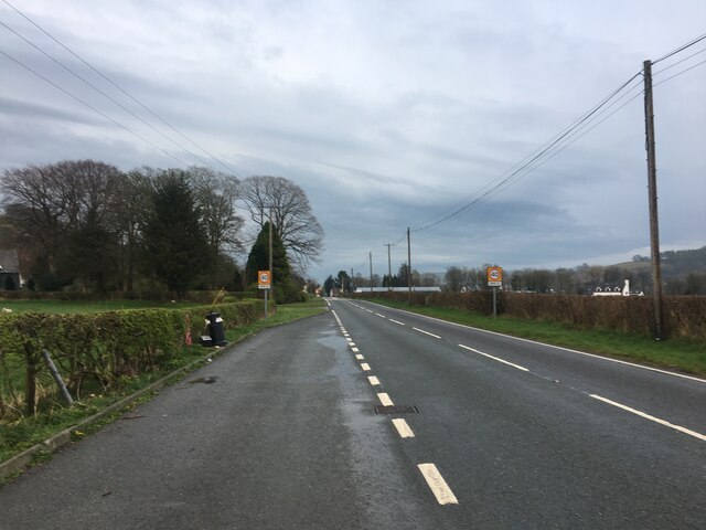
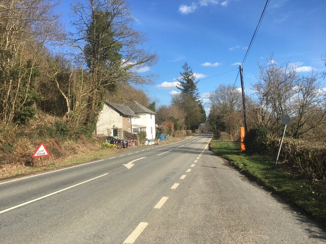
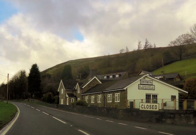
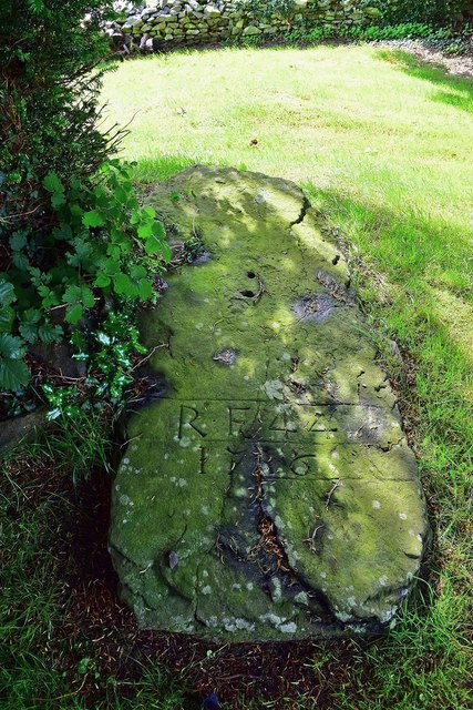
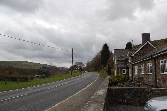
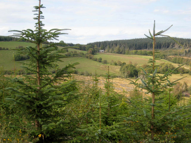
Canal Coppice Images

Images are sourced within 2km of 52.693589/-3.5272626 or Grid Reference SH9611. Thanks to Geograph Open Source API. All images are credited.

A458 approaching Foel from the west
A458 towards Foel
A458 towards Foel
A458 towards Foel
A458 towards Foel
A458 near Foel
A458 near Foel
Dyffryn Cafe on the A485 west of Foel Exact location taken from Where's the path
Dyffryn Cafe on the A485 west of Foel
Exact location taken from Where's the path
Fron-las-fawr from A458
Grave Under the Yew An unusual grave under one of the Yews South of the Church at St Tydecho's Church Garthbeibio, Powys.
Grave Under the Yew
An unusual grave under one of the Yews South of the Church at St Tydecho's Church Garthbeibio, Powys.
Old Milestone by the A458, near The Wern, Banwy Parish Machynlleth Chamfer by the A458, in parish of Banwy (Powys District), near Wern Farmyard, on verge, North side of road.

Inscription reads:-
MACHYNLLETH
19 MILES
MALLWYD 7½
CANOFFICE 4½
POOL 19

Grade II listed by Cadw. Reference Number: 80793
<span class="nowrap"><a title="https://cadwpublic-api.azurewebsites.net/reports/listedbuilding/FullReport?lang=&id=80793" rel="nofollow ugc noopener" href="https://cadwpublic-api.azurewebsites.net/reports/listedbuilding/FullReport?lang=&id=80793">Link</a><img style="margin-left:2px;" alt="External link" title="External link - shift click to open in new window" src="https://s1.geograph.org.uk/img/external.png" width="10" height="10"/></span>

Surveyed

Milestone Society National ID: MOT_MCWP19.
Old Milestone by the A458, near The Wern, Banwy Parish
Machynlleth Chamfer by the A458, in parish of Banwy (Powys District), near Wern Farmyard, on verge, North side of road. Inscription reads:- MACHYNLLETH 19 MILES MALLWYD 7½ CANOFFICE 4½ POOL 19 Grade II listed by Cadw. Reference Number: 80793 LinkExternal link Surveyed Milestone Society National ID: MOT_MCWP19.
Old Milestone by the A458 near Foel Machynlleth Chamfer by the A458, in parish of Banwy (Powys District), Pant Gals, Pont Twrch; Foel, near Dyffryn Restaurant, on verge, North side of road.
N.B. Re-located from South to North side of road

Inscription reads:-
MACHYNLLETH
20 MILES
MALLWYD 8½
CANOFFICE 3½
POOL
18 MILES 

Grade II listed by Cadw.
Reference Number: 80791 <span class="nowrap"><a title="https://cadwpublic-api.azurewebsites.net/reports/listedbuilding/FullReport?lang=&id=80791" rel="nofollow ugc noopener" href="https://cadwpublic-api.azurewebsites.net/reports/listedbuilding/FullReport?lang=&id=80791">Link</a><img style="margin-left:2px;" alt="External link" title="External link - shift click to open in new window" src="https://s1.geograph.org.uk/img/external.png" width="10" height="10"/></span>

Surveyed

Milestone Society National ID: MOT_MCWP20
Old Milestone by the A458 near Foel
Machynlleth Chamfer by the A458, in parish of Banwy (Powys District), Pant Gals, Pont Twrch; Foel, near Dyffryn Restaurant, on verge, North side of road. N.B. Re-located from South to North side of road Inscription reads:- MACHYNLLETH 20 MILES MALLWYD 8½ CANOFFICE 3½ POOL 18 MILES Grade II listed by Cadw. Reference Number: 80791 LinkExternal link Surveyed Milestone Society National ID: MOT_MCWP20
Roadworks by Fron-las-fawr A common sight on Welsh roads. This is on the A458 near Foel.
Roadworks by Fron-las-fawr
A common sight on Welsh roads. This is on the A458 near Foel.
The Dyffryn Restaurant On the A458 west of Foel.
The Dyffryn Restaurant
On the A458 west of Foel.
Bridge over stream Just the other side of this bridge, the stream flows into the Banwy.  Just outside Foel on the back lane back to Llangadfan.
Bridge over stream
Just the other side of this bridge, the stream flows into the Banwy. Just outside Foel on the back lane back to Llangadfan.
A458 east of Dyffryn Restaurant The restaurant can be seen in the distance
A458 east of Dyffryn Restaurant
The restaurant can be seen in the distance
Road junction to Llwyn from A458
Lay by with phone near Fron-las-fach
Llechwedd from A458
Llechwedd from A458
Entrance to Wern from A458
A458 bend approaching Wern
Show me another place!

Canal Coppice is located at Grid Ref: SH9611 (Lat: 52.693589, Lng: -3.5272626)

Unitary Authority: Powys

Police Authority: Dyfed Powys

What 3 Words

///wasps.emphasis.flexibly. Near Llangadfan, Powys

Related Wikis

Dyfnant Forest

Dyfnant Forest is a remote forest in northeastern-central Powys, Wales. == Location == Dyfnant Forest lies to the west of the B4395 road, a road which...

Llangadfan

Llangadfan is a small village in Powys, Wales, based in the community of Banwy. The village lies on the A458 between Foel and Llanerfyl, 12 kilometres...

Montgomeryshire (UK Parliament constituency)

Montgomeryshire (Welsh: Sir Drefaldwyn) was a constituency in Wales represented in the House of Commons of the UK Parliament. Created in 1542, it elects...

District of Montgomeryshire

The District of Montgomeryshire or Montgomery (Welsh: Maldwyn) was one of three local government districts of the county of Powys, Wales, from 1974 until...

Nearby Amenities

Located within 500m of 52.693589,-3.5272626
Place: farm
Lat/Long: 52.6922962/-3.52422
Ford: yes
Lat/Long: 52.6962537/-3.5226549
The data included in this document is from www.openstreetmap.org. The data is made available under ODbL.

Have you been to Canal Coppice?

Leave your review of Canal Coppice below (or comments, questions and feedback).