Pen-yr-allt Wood

Wood, Forest in Montgomeryshire

Wales

Pen-yr-allt Wood

Glyndwr's Way near Llanidloes
Glyndwr's Way near Llanidloes Credit: Dave Kelly

The requested URL returned error: 429 Too Many Requests

If you have any feedback on the listing, please let us know in the comments section below.

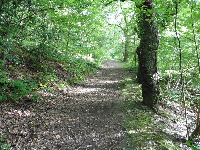
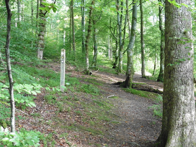
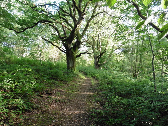
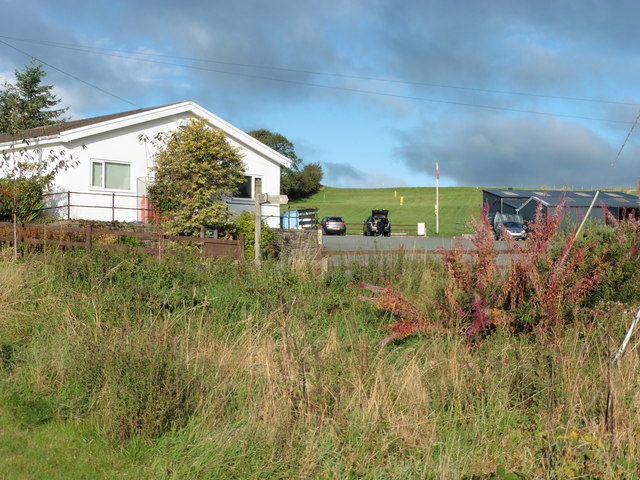
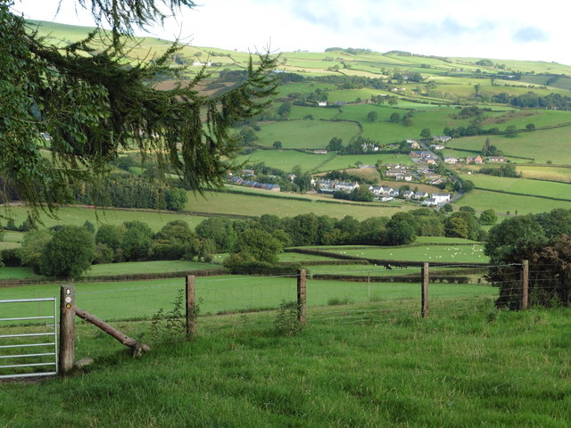
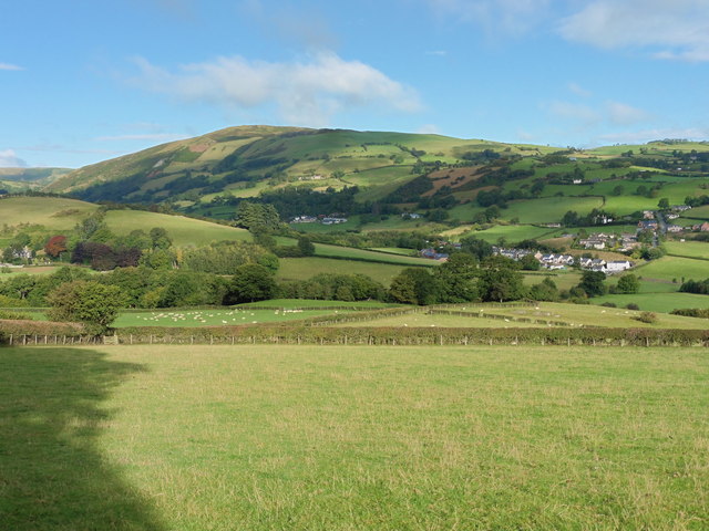
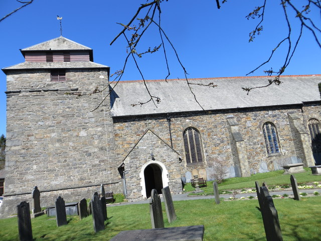
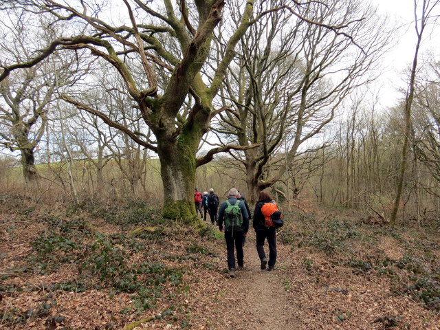
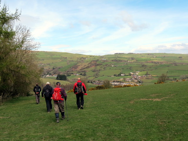
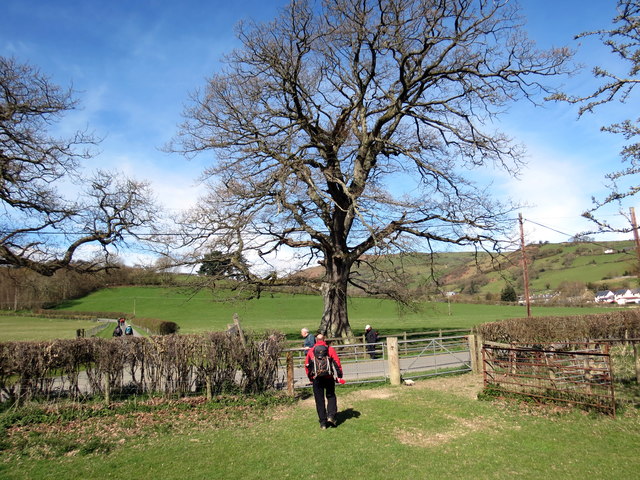
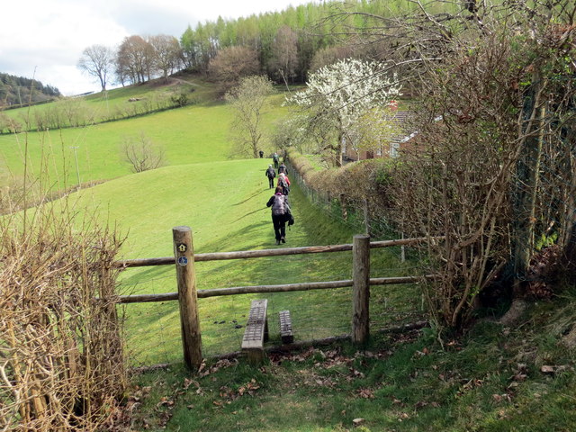
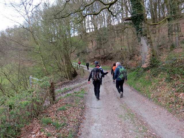
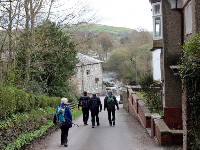
Pen-yr-allt Wood Images

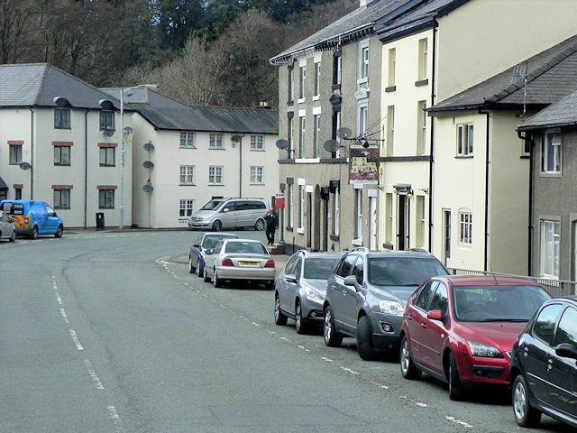
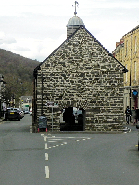
Images are sourced within 2km of 52.458104/-3.5385266 or Grid Reference SN9585. Thanks to Geograph Open Source API. All images are credited.

Glyndwr's Way near Llanidloes
Glyndwr's Way near Llanidloes One of several route alterations North of Llanidloes
Glyndwr's Way near Llanidloes
One of several route alterations North of Llanidloes
Glyndwr's Way near Llanidloes
Glyndwr's Way by St Idloes golf club
Glyndwr's Way near Van Van may be seen in the distance
Glyndwr's Way near Van
Van may be seen in the distance
Glyndwr's Way near Van
Ordnance Survey Flush Bracket S0731 This can be found on the wall of St Idloes Church in Llanidloes.
For more detail see : <span class="nowrap"><a title="http://www.bench-marks.org.uk/bm12516" rel="nofollow ugc noopener" href="http://www.bench-marks.org.uk/bm12516">Link</a><img style="margin-left:2px;" alt="External link" title="External link - shift click to open in new window" src="https://s1.geograph.org.uk/img/external.png" width="10" height="10"/></span>
Ordnance Survey Flush Bracket S0731
This can be found on the wall of St Idloes Church in Llanidloes. For more detail see : LinkExternal link
The Church of St Idloes in Llanidloes Viewed from the south.
The Church of St Idloes in Llanidloes
Viewed from the south.
Allt Goch Cerddwyr yn dilyn Llwybr Glynhir drwy goedwig Allt Goch.

Walkers following the Glyndwr Way through woods known as Allt Goch (trans red hill).
Allt Goch
Cerddwyr yn dilyn Llwybr Glynhir drwy goedwig Allt Goch. Walkers following the Glyndwr Way through woods known as Allt Goch (trans red hill).
Ger Bron y Geifr / Near Bron y Geifr Cerddwyr yn dilyn Llwybr Glyndwr. Yr anheddiad yn y pellter yw y Fan.

Walkers following the Glyndwr Way. The settlement in the distance is the Fan (trans. peak).
Ger Bron y Geifr / Near Bron y Geifr
Cerddwyr yn dilyn Llwybr Glyndwr. Yr anheddiad yn y pellter yw y Fan. Walkers following the Glyndwr Way. The settlement in the distance is the Fan (trans. peak).
Ger y Fan / Near Y Fan Cerddwyr yn dilyn Llwybr Glyndwr ger pentre o'r enw'r Fan.

Walkers following Glyndwr's Way near a village called Y Fan (the peak).
Ger y Fan / Near Y Fan
Cerddwyr yn dilyn Llwybr Glyndwr ger pentre o'r enw'r Fan. Walkers following Glyndwr's Way near a village called Y Fan (the peak).
Sticil Cwmeryr Bach / Cwmeryr Bach Stile Sticil wrth ymyl anhedd-dy o'r enw Cwmeryr Bach.

A stile at Cwmeryr Bach (trans. eagle valley)
Sticil Cwmeryr Bach / Cwmeryr Bach Stile
Sticil wrth ymyl anhedd-dy o'r enw Cwmeryr Bach. A stile at Cwmeryr Bach (trans. eagle valley)
Tuag at Lanidloes / Towards Llanidloes Cerddwyr yn dilyn heol ddiwyneb tuag at Lanidloes.

Walkers following an unsurfaced road towards Llanidloes (trans. church of Idloes).
Tuag at Lanidloes / Towards Llanidloes
Cerddwyr yn dilyn heol ddiwyneb tuag at Lanidloes. Walkers following an unsurfaced road towards Llanidloes (trans. church of Idloes).
Cyrraedd Llanidloes / Arriving at Llanidloes Cerddwyr yn cyrraedd Llanidloes.

Walkers arriving at Llanidloes (trans. church of Idloes).
Cyrraedd Llanidloes / Arriving at Llanidloes
Cerddwyr yn cyrraedd Llanidloes. Walkers arriving at Llanidloes (trans. church of Idloes).
Llanidloes, Llangurig Road Llandiloes is situated along the A470 and B4518 roads in Powys, within the historic county boundaries of Montgomeryshire. The town’s official website <span class="nowrap"><a title="http://www.llanidloes.com/" rel="nofollow ugc noopener" href="http://www.llanidloes.com/">Link</a><img style="margin-left:2px;" alt="External link" title="External link - shift click to open in new window" src="https://s1.geograph.org.uk/img/external.png" width="10" height="10"/></span>  describes it as “a small town at the heart of Wales, nestling amidst the eastern slopes of the Cambrian Mountains, Llanidloes is at the heart of the ancient medieval kingdom of Arwystli and is one of the great little market towns of Mid Wales, UK and the first town on the River Severn.” The population recorded at the 2011 census was 2,929, of whom 15% were Welsh-speakers. Llanidloes takes its name from the early seventh century Celtic Saint Idloes (Llan-Idloes = the Church of St Idloes), after whom its parish church is named. It received a market charter from the King in 1270.  The present-day street plan follows much of the 13th century grid layout.
Llanidloes, Llangurig Road
Llandiloes is situated along the A470 and B4518 roads in Powys, within the historic county boundaries of Montgomeryshire. The town’s official website LinkExternal link describes it as “a small town at the heart of Wales, nestling amidst the eastern slopes of the Cambrian Mountains, Llanidloes is at the heart of the ancient medieval kingdom of Arwystli and is one of the great little market towns of Mid Wales, UK and the first town on the River Severn.” The population recorded at the 2011 census was 2,929, of whom 15% were Welsh-speakers. Llanidloes takes its name from the early seventh century Celtic Saint Idloes (Llan-Idloes = the Church of St Idloes), after whom its parish church is named. It received a market charter from the King in 1270. The present-day street plan follows much of the 13th century grid layout.
Llangurig Road (B4518) Llandiloes is situated along the A470 and B4518 roads in Powys, within the historic county boundaries of Montgomeryshire. The town’s official website <span class="nowrap"><a title="http://www.llanidloes.com/" rel="nofollow ugc noopener" href="http://www.llanidloes.com/">Link</a><img style="margin-left:2px;" alt="External link" title="External link - shift click to open in new window" src="https://s1.geograph.org.uk/img/external.png" width="10" height="10"/></span>  describes it as “a small town at the heart of Wales, nestling amidst the eastern slopes of the Cambrian Mountains, Llanidloes is at the heart of the ancient medieval kingdom of Arwystli and is one of the great little market towns of Mid Wales, UK and the first town on the River Severn.” The population recorded at the 2011 census was 2,929, of whom 15% were Welsh-speakers. Llanidloes takes its name from the early seventh century Celtic Saint Idloes (Llan-Idloes = the Church of St Idloes), after whom its parish church is named. It received a market charter from the King in 1270.  The present-day street plan follows much of the 13th century grid layout.
Llangurig Road (B4518)
Llandiloes is situated along the A470 and B4518 roads in Powys, within the historic county boundaries of Montgomeryshire. The town’s official website LinkExternal link describes it as “a small town at the heart of Wales, nestling amidst the eastern slopes of the Cambrian Mountains, Llanidloes is at the heart of the ancient medieval kingdom of Arwystli and is one of the great little market towns of Mid Wales, UK and the first town on the River Severn.” The population recorded at the 2011 census was 2,929, of whom 15% were Welsh-speakers. Llanidloes takes its name from the early seventh century Celtic Saint Idloes (Llan-Idloes = the Church of St Idloes), after whom its parish church is named. It received a market charter from the King in 1270. The present-day street plan follows much of the 13th century grid layout.
Llanidloes, Smithfield Street During the 17th and 18th centuries, weaving and flannel production developed in the town largely as a cottage industry and the local products were sent to market in Shrewsbury. Towards the end of the eighteenth century, Llanidloes was the largest producer in Montgomeryshire. Some of the three storey houses with brick facades of this period would have housed weaving lofts on the upper storey.
Llanidloes, Smithfield Street
During the 17th and 18th centuries, weaving and flannel production developed in the town largely as a cottage industry and the local products were sent to market in Shrewsbury. Towards the end of the eighteenth century, Llanidloes was the largest producer in Montgomeryshire. Some of the three storey houses with brick facades of this period would have housed weaving lofts on the upper storey.
Llanidloes, The Old Market Hall The half-timbered Old Market Hall stands at the centre of Llanidloes, at the crossing of the four streets of the original medieval town.  Built around 1600, it is the oldest timber-framed market hall, and the only surviving building of this type, in Wales. A weekly market was held on the open cobbled ground floor until well into the twentieth century.  It is typical of market halls of the period in most mid-Wales market towns. Over the years the large and well-lit upper floor room has been used as a wool and flannel market, law court, preachers' hall, flannel store, working men's institute and museum. The slate roof, with overhanging eaves, has a glazed octagonal cupola which once contained the bell that was used to ring the curfew. The cupola is topped by a weathervane dated 1738.

The building is grade I listed (Cadw building id= 8317  <span class="nowrap"><a title="http://historicwales.gov.uk/files/pdf-listed-building.php?ids=25235&lang=ENG" rel="nofollow ugc noopener" href="http://historicwales.gov.uk/files/pdf-listed-building.php?ids=25235&lang=ENG">Link</a><img style="margin-left:2px;" alt="External link" title="External link - shift click to open in new window" src="https://s1.geograph.org.uk/img/external.png" width="10" height="10"/></span>  Historic Wales).
Llanidloes, The Old Market Hall
The half-timbered Old Market Hall stands at the centre of Llanidloes, at the crossing of the four streets of the original medieval town. Built around 1600, it is the oldest timber-framed market hall, and the only surviving building of this type, in Wales. A weekly market was held on the open cobbled ground floor until well into the twentieth century. It is typical of market halls of the period in most mid-Wales market towns. Over the years the large and well-lit upper floor room has been used as a wool and flannel market, law court, preachers' hall, flannel store, working men's institute and museum. The slate roof, with overhanging eaves, has a glazed octagonal cupola which once contained the bell that was used to ring the curfew. The cupola is topped by a weathervane dated 1738. The building is grade I listed (Cadw building id= 8317 LinkExternal link Historic Wales).
Show me another place!

Pen-yr-allt Wood is located at Grid Ref: SN9585 (Lat: 52.458104, Lng: -3.5385266)

Unitary Authority: Powys

Police Authority: Dyfed Powys

What 3 Words

///move.marathons.withdraws. Near Llanidloes, Powys

Nearby Locations

Pen-yr-allt Wood Allt Goch

Related Wikis

Llanidloes War Memorial Hospital

Llanidloes War Memorial Hospital (Welsh: Ysbyty Coffa Rhyfel Llanidloes) is a health facility in Eastgate Street, Llanidloes, Powys, Wales. It is managed...

Afon Clywedog

The Afon Clywedog is an upland headwater tributary of the River Severn in Powys, Wales. It is approximately 29 km long and has its source on the flanks...

Llanidloes Town F.C.

Llanidloes Town Football Club (Welsh: Clwb Pêl-droed Tref Llanidloes) are an association football club based in the town of Llanidloes, Wales. They currently...

Llanidloes

Llanidloes (Welsh pronunciation: [ɬanˈɪdlɔɨs]) is a town and community on the A470 and B4518 roads in Powys, within the historic county boundaries of Montgomeryshire...

Nearby Amenities

Located within 500m of 52.458104,-3.5385266
Turning Circle
Lat/Long: 52.4536982/-3.5384989
Bryn Dol-Llys
Place: locality
Lat/Long: 52.4593546/-3.5407906
Power: pole
Lat/Long: 52.4548727/-3.5343616
Power: pole
Lat/Long: 52.4552535/-3.5356772
Power: pole
Lat/Long: 52.4569226/-3.5316519
Power: pole
Lat/Long: 52.4561773/-3.532073
Power: pole
Lat/Long: 52.4557344/-3.5330278
Power: pole
Lat/Long: 52.4561348/-3.5319844
Power: pole
Lat/Long: 52.4556347/-3.5330251
Power: pole
Lat/Long: 52.4551312/-3.5343394
Power: pole
Lat/Long: 52.4554467/-3.5355598
Power: pole
Lat/Long: 52.4553217/-3.5356953
Power: pole
Lat/Long: 52.4549833/-3.5343649
Toilets
Access: yes
Fee: no
Toilets Disposal: chemical
Toilets Position: seated
Unisex: yes
Lat/Long: 52.4584316/-3.5374072
Leisure: picnic_table
Lat/Long: 52.4582714/-3.537713
Bench
Source: survey;gps
Lat/Long: 52.4547108/-3.5404421
Bench
Source: survey;gps
Lat/Long: 52.4564834/-3.5390943
Direction: 125
Generator Method: photovoltaic
Generator Output Electricity: yes
Generator Solar Modules: 12
Generator Source: solar
Generator Type: solar_photovoltaic_panel
Location: roof
Power: generator
Lat/Long: 52.4557439/-3.5371465
Direction: 145
Generator Method: photovoltaic
Generator Output Electricity: yes
Generator Solar Modules: 46
Generator Source: solar
Generator Type: solar_photovoltaic_panel
Location: roof
Power: generator
Lat/Long: 52.4611315/-3.5405756
The data included in this document is from www.openstreetmap.org. The data is made available under ODbL.

Have you been to Pen-yr-allt Wood?

Leave your review of Pen-yr-allt Wood below (or comments, questions and feedback).