Coed yr Brain
Wood, Forest in Merionethshire
Wales
Coed yr Brain

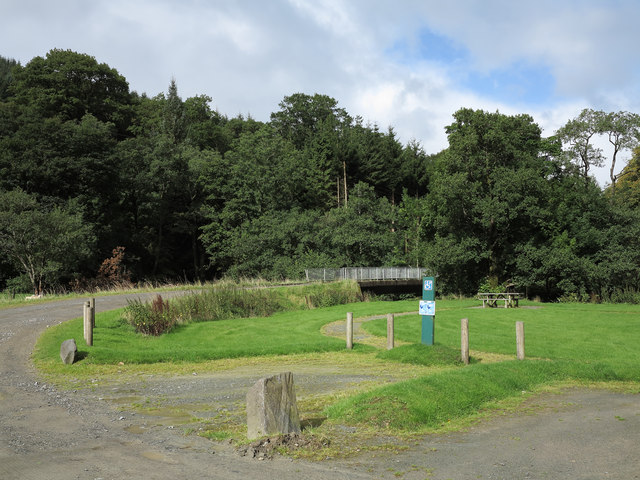
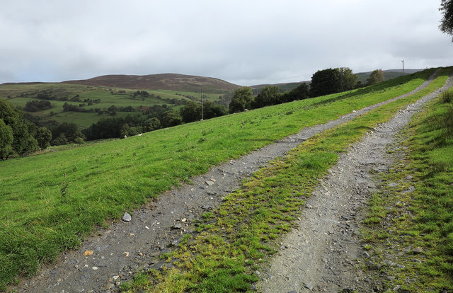
Coed yr Brain, located in Merionethshire, is a captivating wood or forest renowned for its natural beauty and diverse ecosystem. Covering an area of approximately [insert size], it is nestled in the heart of the Welsh countryside, offering visitors a serene and peaceful escape from the hustle and bustle of city life.
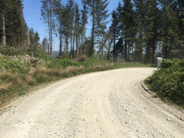
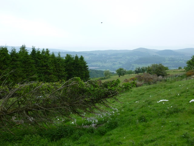
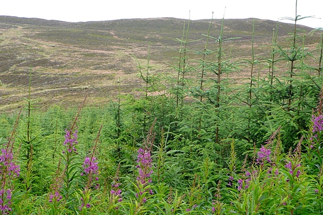
The forest is characterized by its dense canopy of trees, primarily comprising oak, beech, and conifer species, which provide a rich habitat for numerous flora and fauna. The lush undergrowth is adorned with an array of plants, including bluebells, wild garlic, and ferns, creating a picturesque landscape throughout the seasons.
Coed yr Brain is a haven for wildlife enthusiasts, as it attracts a vast variety of animal species. Visitors may be lucky enough to spot red squirrels darting among the branches, or catch a glimpse of elusive woodland birds such as woodpeckers and owls. The forest is also home to a diverse range of insects, amphibians, and small mammals, adding to its ecological significance.
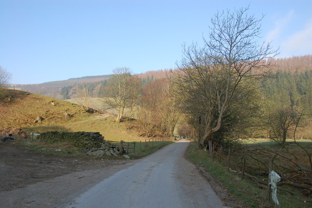
For outdoor enthusiasts, the forest offers an extensive network of footpaths and trails, inviting visitors to explore its enchanting beauty. Whether it's a leisurely stroll or a more challenging hike, Coed yr Brain caters to all levels of fitness and interests.
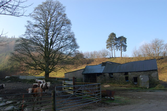
The forest is not only a natural treasure but also holds historical and cultural significance. It has served as a source of timber for centuries, with remnants of old saw pits and charcoal hearths still visible today. Its timeless charm has inspired many artists, writers, and poets over the years.
In conclusion, Coed yr Brain is a remarkable wood or forest in Merionethshire, offering a delightful and immersive experience for nature lovers, hikers, and those seeking a tranquil retreat in the heart of Wales.
If you have any feedback on the listing, please let us know in the comments section below.
Coed yr Brain Images
Images are sourced within 2km of 52.880412/-3.5547301 or Grid Reference SH9532. Thanks to Geograph Open Source API. All images are credited.


Coed yr Brain is located at Grid Ref: SH9532 (Lat: 52.880412, Lng: -3.5547301)
Unitary Authority: Gwynedd
Police Authority: North Wales
What 3 Words
///caressing.promises.vanished. Near Bala, Gwynedd
Nearby Locations
Related Wikis
Rhos-y-gwaliau
Rhos-y-gwaliau is a small hamlet in Meirionnydd, Gwynedd, North Wales, about 1.5 miles (2.4 km) south-east of Bala. It is home to the Rhos y Gwaliau Outdoor...
Rhiwaedog
Rhiwaedog is the name of an ancient estate in North Wales, located in the Penllyn forest near Bala, Gwynedd. It gives its name today to two hills, Rhiwaedog...

Bala Junction railway station
Bala Junction railway station was on the Ruabon to Barmouth line in southern Gwynedd, Wales. It closed to passengers on Monday 18 January 1965. Bala Junction...
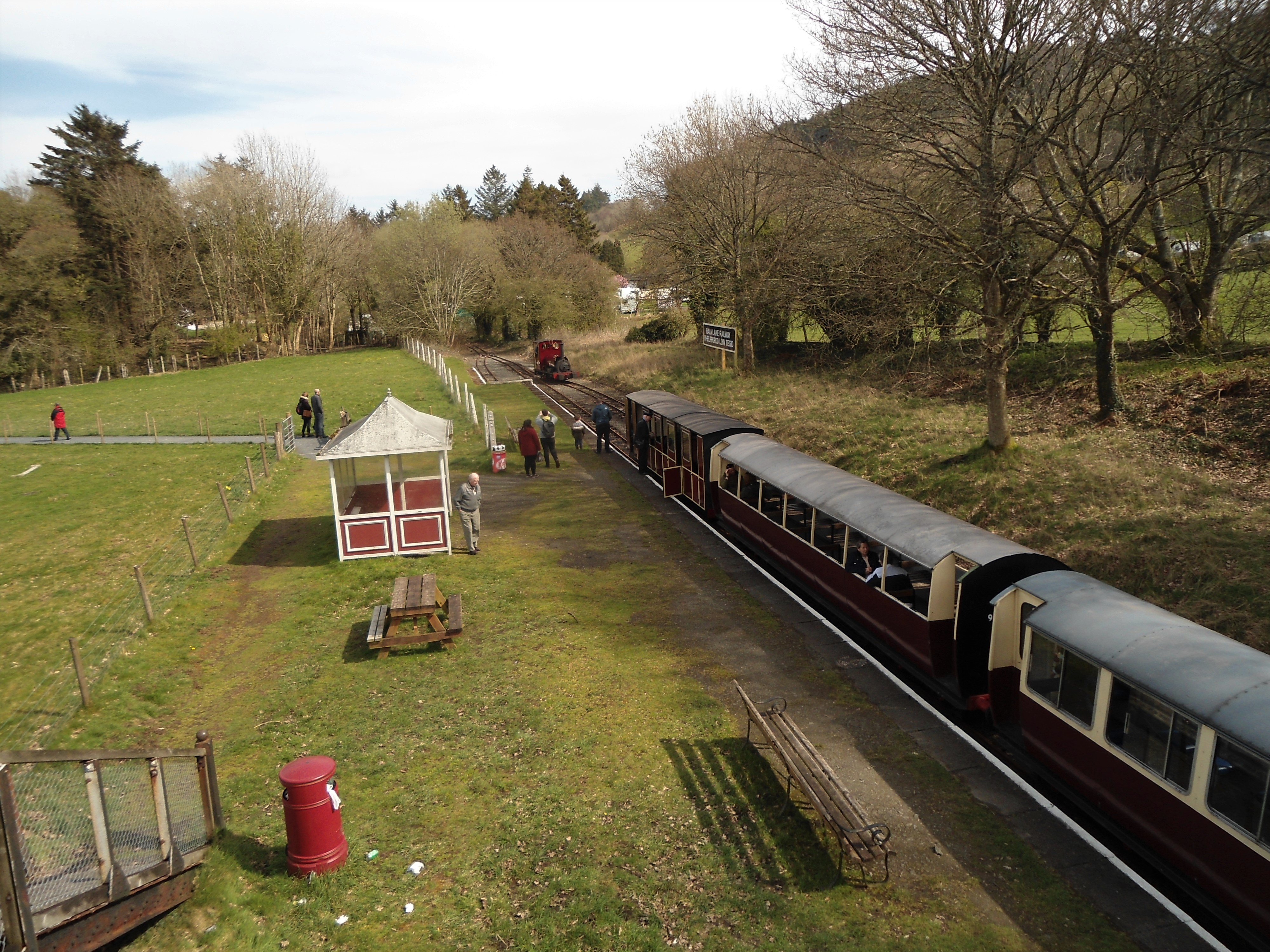
Bala (Penybont) railway station
Bala (Penybont) is the current terminus of the heritage Bala Lake Railway, in Gwynedd, Wales, since 1976. The site was formerly the location of the Bala...

Foel Goch (Hirnant)
Foel Goch is a subsidiary summit of Esgeiriau Gwynion, and is included in a group of hills known as the Hirnantau. These hills rise from the south east...

Hirnant Limestone
The Hirnant Limestone is an old name for a geologic formation in England and Wales, defining the Hirnantian. It preserves fossils dating back to the Ordovician...
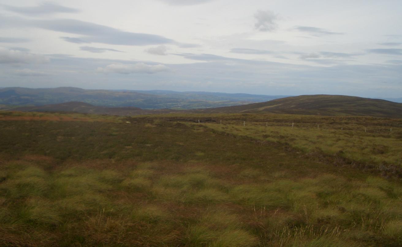
Foel Cwm Sian Llŵyd
Foel Cwm Sian Llŵyd is a subsidiary summit of Cyrniau Nod in north east Wales. It forms a part of the Berwyn range known as the Hirnantau. Its summit has...
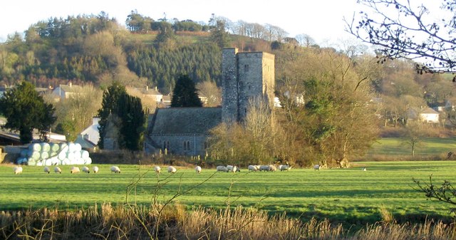
Llanycil
Llanycil is a community in the county of Gwynedd, Wales, near Bala, and is 99.9 miles (160.7 km) from Cardiff and 176.2 miles (283.6 km) from London. In...
Have you been to Coed yr Brain?
Leave your review of Coed yr Brain below (or comments, questions and feedback).