Splott Plantations

Wood, Forest in Glamorgan

Wales

Splott Plantations

Ordnance Survey Cut Mark This OS cut mark can be found on the NE parapet of the Stembridge Brook Bridge. It marks a point 40.654m above mean sea level.
Ordnance Survey Cut Mark Credit: Adrian Dust

Splott Plantations is a picturesque woodland area located in the county of Glamorgan, Wales. Spanning over a vast expanse, the plantations are situated in the suburb of Splott, which lies to the east of Cardiff, the capital city of Wales.

Covering an area of approximately 100 acres, Splott Plantations are a haven for nature enthusiasts and provide a tranquil escape from the bustling urban environment. The woodlands are primarily composed of native broadleaf trees, such as oak, beech, and ash, which create a dense canopy overhead, filtering sunlight and creating a cool, shaded atmosphere below.

Splott Plantations offer a myriad of walking trails, allowing visitors to explore the diverse wildlife and flora that flourishes within the woodland. The forest floor is adorned with a rich tapestry of wildflowers, including bluebells, primroses, and wood anemones, which bloom in vibrant colors during the springtime.

The woodlands are home to a variety of bird species, such as woodpeckers, thrushes, and owls, providing a paradise for birdwatchers. Additionally, small mammals such as foxes, badgers, and squirrels can also be spotted within the plantations.

Splott Plantations also hold historical significance, as they were once part of the extensive Cardiff Castle estate. The woodlands have been preserved and maintained by local authorities, ensuring that the natural beauty of the area remains intact for generations to come.

Overall, Splott Plantations in Glamorgan is a stunning woodland retreat that offers visitors a chance to reconnect with nature, explore diverse ecosystems, and immerse themselves in the tranquility of the Welsh countryside.

If you have any feedback on the listing, please let us know in the comments section below.

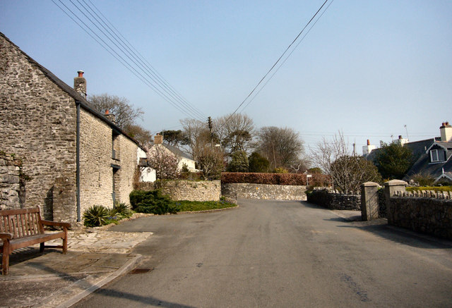
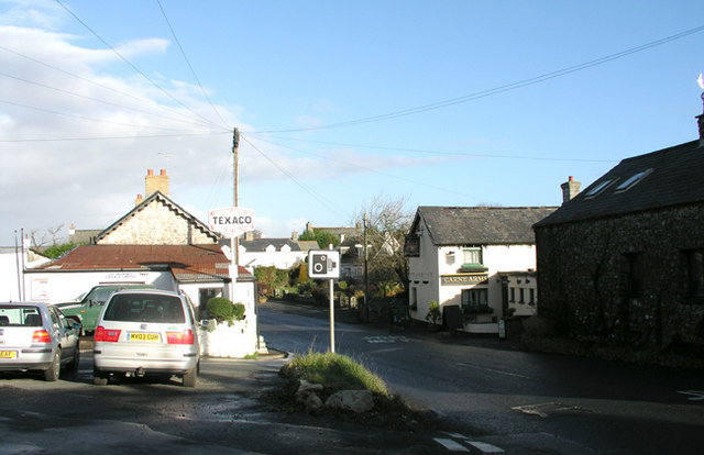
Splott Plantations Images

Images are sourced within 2km of 51.465444/-3.5140132 or Grid Reference SS9475. Thanks to Geograph Open Source API. All images are credited.

Ordnance Survey Cut Mark This OS cut mark can be found on the NE parapet of the Stembridge Brook Bridge. It marks a point 40.654m above mean sea level.
Ordnance Survey Cut Mark
This OS cut mark can be found on the NE parapet of the Stembridge Brook Bridge. It marks a point 40.654m above mean sea level.
Ordnance Survey Rivet This OS rivet can be found on the stile at the entrance to Parcau Farm. It marks a point 38.347m above mean sea level.
Ordnance Survey Rivet
This OS rivet can be found on the stile at the entrance to Parcau Farm. It marks a point 38.347m above mean sea level.
Ordnance Survey Rivet This OS rivet can be found on the wall of No5 Twyn Yr Eglwys. It marks a point 59.747m above mean sea level.
Ordnance Survey Rivet
This OS rivet can be found on the wall of No5 Twyn Yr Eglwys. It marks a point 59.747m above mean sea level.
Ordnance Survey Cut Mark This OS cut mark can be found on the barn conversion at Heol Fawr. It marks a point 75.761m above mean sea level.
Ordnance Survey Cut Mark
This OS cut mark can be found on the barn conversion at Heol Fawr. It marks a point 75.761m above mean sea level.
Ordnance Survey Rivet This OS rivet can be found on the stile NE side of the road. It marks a point 78.946m above mean sea level.
Ordnance Survey Rivet
This OS rivet can be found on the stile NE side of the road. It marks a point 78.946m above mean sea level.
St Michaels and All Angels, Colwinston The roots of this church are Norman with the nave, font and chancel arch dating from this period. The tower probably dates from the sixteenth century and was heightened in the late 17th or early 18th century. The windows largely date from the 16th century as well. There was a Victorian restoration and the church was re-roofed, redecorated and given the north vestry for the millennium.
The church is a grade 1 listed building.
St Michaels and All Angels, Colwinston
The roots of this church are Norman with the nave, font and chancel arch dating from this period. The tower probably dates from the sixteenth century and was heightened in the late 17th or early 18th century. The windows largely date from the 16th century as well. There was a Victorian restoration and the church was re-roofed, redecorated and given the north vestry for the millennium. The church is a grade 1 listed building.
Llysworney Garage From a different time when this road, the B4268 in the Vale of Glamorgan, was lot quieter and it was still legal to refill cars on the public highway from a petrol pump.
Llysworney Garage
From a different time when this road, the B4268 in the Vale of Glamorgan, was lot quieter and it was still legal to refill cars on the public highway from a petrol pump.
A48 A48, view towards Crack Hill
A48
A48, view towards Crack Hill
B4268 south of Pentre Meyrick
A48 looking east
A48 looking east
The Church of St Michael and All Angels, Colwinston in the 1970s A view of the church from c. 1975. Parts of the church are thought to date from the Norman period. One internet source  (<span class="nowrap"><a title="http://www.coflein.gov.uk/en/site/307572/details/ST+MICHAEL+AND+ALL+ANGELS+CHURCH,+COLWINSTON/" rel="nofollow ugc noopener" href="http://www.coflein.gov.uk/en/site/307572/details/ST+MICHAEL+AND+ALL+ANGELS+CHURCH,+COLWINSTON/">Link</a><img style="margin-left:2px;" alt="External link" title="External link - shift click to open in new window" src="https://s1.geograph.org.uk/img/external.png" width="10" height="10"/></span> ) notes that the font and chancel arch are thought to be 12th century.  Another source (<span class="nowrap"><a title="http://www.valeofglamorgan.gov.uk/files/Living/Planning/Policy/County_Treasures/Colwinston.pdf" rel="nofollow ugc noopener" href="http://www.valeofglamorgan.gov.uk/files/Living/Planning/Policy/County_Treasures/Colwinston.pdf">Link</a><img style="margin-left:2px;" alt="External link" title="External link - shift click to open in new window" src="https://s1.geograph.org.uk/img/external.png" width="10" height="10"/></span> - see also <span class="nowrap"><a title="http://en.wikipedia.org/wiki/Colwinston" rel="nofollow ugc noopener" href="http://en.wikipedia.org/wiki/Colwinston">Link</a><img style="margin-left:2px;" alt="External link" title="External link - shift click to open in new window" src="https://s1.geograph.org.uk/img/external.png" width="10" height="10"/></span> ) notes that the church is reputed to have been originally built in 1111. According to this source, the church was restored in 1879 and suffered damage in a fire in 1971.

 It may be noted that at the time the photograph was taken only some of its exterior walls were rendered and limewashed, whereas more recent pictures of the church reveal that later they all came to be.

The church is a grade I listed building. It was listed in February 1963.
The Church of St Michael and All Angels, Colwinston in the 1970s
A view of the church from c. 1975. Parts of the church are thought to date from the Norman period. One internet source (LinkExternal link ) notes that the font and chancel arch are thought to be 12th century. Another source (LinkExternal link - see also LinkExternal link ) notes that the church is reputed to have been originally built in 1111. According to this source, the church was restored in 1879 and suffered damage in a fire in 1971. It may be noted that at the time the photograph was taken only some of its exterior walls were rendered and limewashed, whereas more recent pictures of the church reveal that later they all came to be. The church is a grade I listed building. It was listed in February 1963.
Milepost - Bridgend 3 NE side of road
Milepost - Bridgend 3
NE side of road
Milepost - Bridgend 4 NE side of road.
Milepost - Bridgend 4
NE side of road.
Ordnance Survey Cut Mark This OS cut mark can be found on the old Seion Chapel, now a private house. It marks a point 65.139m above mean sea level.
Ordnance Survey Cut Mark
This OS cut mark can be found on the old Seion Chapel, now a private house. It marks a point 65.139m above mean sea level.
Ordnance Survey Cut Mark This OS cut mark can be found on the SE face of St Michael's Church. It marks a point 48.954m above mean sea level.
Ordnance Survey Cut Mark
This OS cut mark can be found on the SE face of St Michael's Church. It marks a point 48.954m above mean sea level.
A48 - Brocastle With Bridgend straight ahead, the fork to the left is to Corntown
A48 - Brocastle
With Bridgend straight ahead, the fork to the left is to Corntown
Cast Iron Mile Marker on the A48 I have found 7 of these old cast iron mile markers between Bridgend and the centre of Cardiff.  All have been uploaded.  Does anyone know their history?
Cast Iron Mile Marker on the A48
I have found 7 of these old cast iron mile markers between Bridgend and the centre of Cardiff. All have been uploaded. Does anyone know their history?
Country Lane between Twmpath and Penllyn
Show me another place!

Splott Plantations is located at Grid Ref: SS9475 (Lat: 51.465444, Lng: -3.5140132)

Unitary Authority: The Vale of Glamorgan

Police Authority: South Wales

What 3 Words

///market.forehand.describes. Near Llangan, Vale of Glamorgan

Related Wikis

Llandow (electoral ward)

Llandow (between 1995 and 2022 known as Llandow/Ewenny or Llandow and Ewenny), is the name of an electoral ward in the west of the Vale of Glamorgan, Wales...

Colwinston

Colwinston (historically sometimes Colwinstone; Welsh: Tregolwyn) is both a village and a community in the Vale of Glamorgan, Wales, approximately 4 miles...

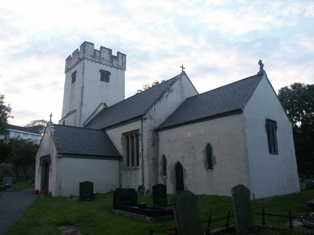
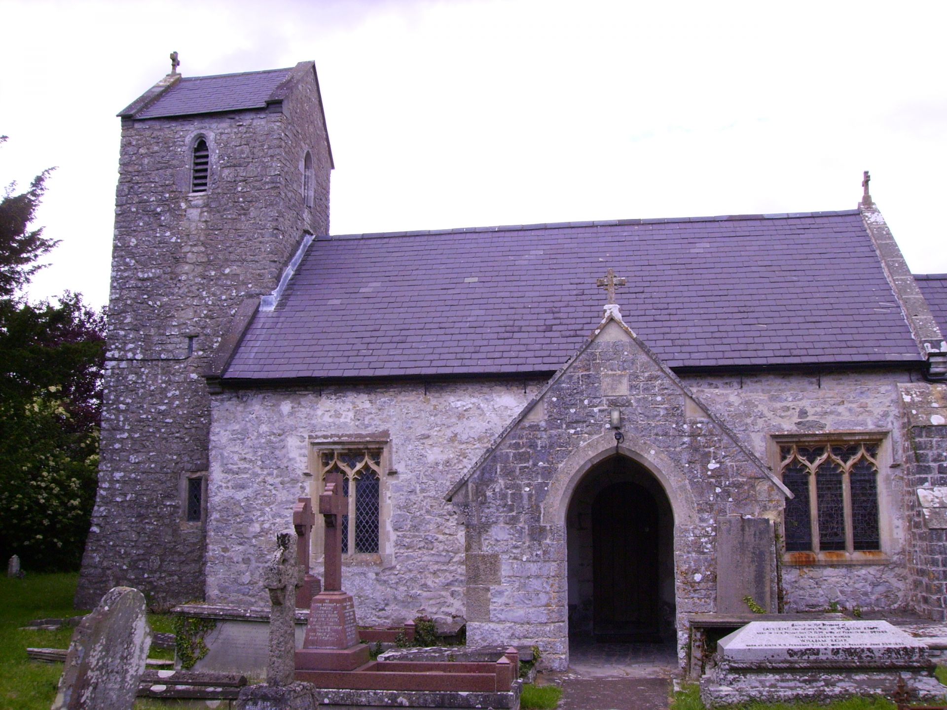
St Michael and All Angels Church, Colwinston

St Michael and All Angels Church is a Grade I listed church in Colwinston, in the Vale of Glamorgan, south Wales. It became a Grade I listed building on...

Llysworney

Llysworney (Welsh: Llyswyrni) is a small village in the Vale of Glamorgan, South Wales, in the community of Llandow. Llysworney is home to about 240 people...

Llandow Halt railway station

Llandow Halt railway station served the village of Llandow in South Wales. == History == When the Vale of Glamorgan Railway opened in 1897, four of its...

Llandow

Llandow (Welsh: Llandŵ) is a village and community in the Vale of Glamorgan, Wales. The community population taken at the 2011 census was 726. The village...

Nash Manor

Nash Manor is a Grade I listed building in Llandow, near Cowbridge in the Vale of Glamorgan, south Wales. It became a Grade I listed building on 16 December...

Penllyn, Vale of Glamorgan

Penllyn (Welsh: Pen-llin) is a village and community in the Vale of Glamorgan, Wales. It is located north west of the market town of Cowbridge. As a community...

Have you been to Splott Plantations?

Leave your review of Splott Plantations below (or comments, questions and feedback).