Coed Pant-y-pistyll
Wood, Forest in Glamorgan
Wales
Coed Pant-y-pistyll

Coed Pant-y-pistyll is a charming woodland located in the county of Glamorgan, Wales. Situated in the picturesque village of Pant-y-pistyll, this forested area offers a serene and tranquil escape for nature lovers and outdoor enthusiasts.
Covering an area of approximately 50 acres, Coed Pant-y-pistyll boasts a diverse range of flora and fauna. The woodland is predominantly composed of native tree species such as oak, beech, and birch, creating a rich and vibrant ecosystem. The forest floor is adorned with a carpet of wildflowers and ferns, adding to the enchanting atmosphere of the wood.
The woodland is crisscrossed by a network of well-maintained footpaths, allowing visitors to explore the area at their leisure. These paths meander through the trees, leading visitors to hidden glades and babbling streams. Along the way, benches and picnic spots offer opportunities for rest and contemplation.
Coed Pant-y-pistyll is not only a haven for plant and animal life but also a popular destination for birdwatchers. The forest is home to a variety of bird species, including woodpeckers, thrushes, and owls. The melodious songs of these feathered creatures can be heard throughout the day, creating a delightful symphony for visitors.
In addition to its natural beauty, Coed Pant-y-pistyll also holds cultural significance. It is believed to have been a place of ancient rituals and ceremonies dating back centuries. The forest has an ethereal quality that evokes a sense of mystery and wonder, captivating those who venture within its boundaries.
Overall, Coed Pant-y-pistyll is a captivating woodland that offers a peaceful retreat from the hustle and bustle of everyday life. Whether you are seeking a leisurely stroll, an opportunity to connect with nature, or a chance to immerse yourself in history, this woodland is a truly enchanting destination.
If you have any feedback on the listing, please let us know in the comments section below.
Coed Pant-y-pistyll Images
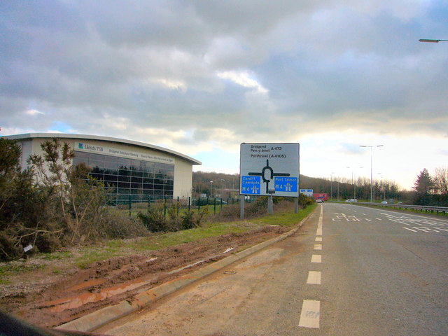
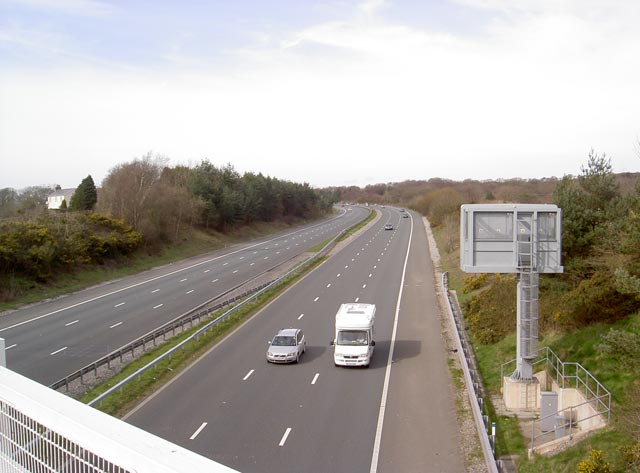
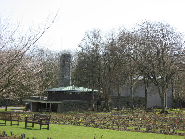
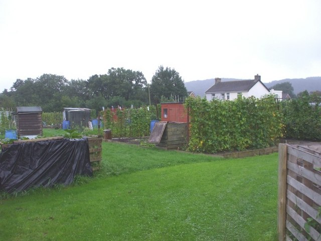
Images are sourced within 2km of 51.514587/-3.5160171 or Grid Reference SS9480. Thanks to Geograph Open Source API. All images are credited.


Coed Pant-y-pistyll is located at Grid Ref: SS9480 (Lat: 51.514587, Lng: -3.5160171)
Unitary Authority: Bridgend
Police Authority: South Wales
What 3 Words
///widget.scores.tightrope. Near Pencoed, Bridgend
Nearby Locations
Related Wikis

Coedymwstwr Woodlands
Coedymwstwr Woodlands is a Site of Special Scientific Interest located between Coychurch and Pencoed in Bridgend County Borough, south Wales. == See... ==
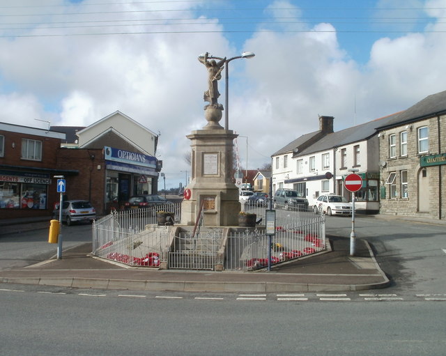
Pencoed
Pencoed (Welsh: Pen-coed) is a town and community in the county borough of Bridgend, Wales. It straddles the M4 motorway north east of Bridgend and is...

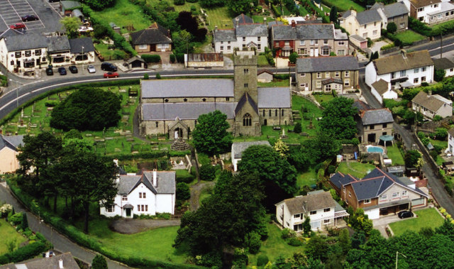
St Crallo's Church
St Crallo's Church, often referred to historically as The Cathedral of the Vale of Glamorgan, is a Grade I listed church in Coychurch Lower, Bridgend County...
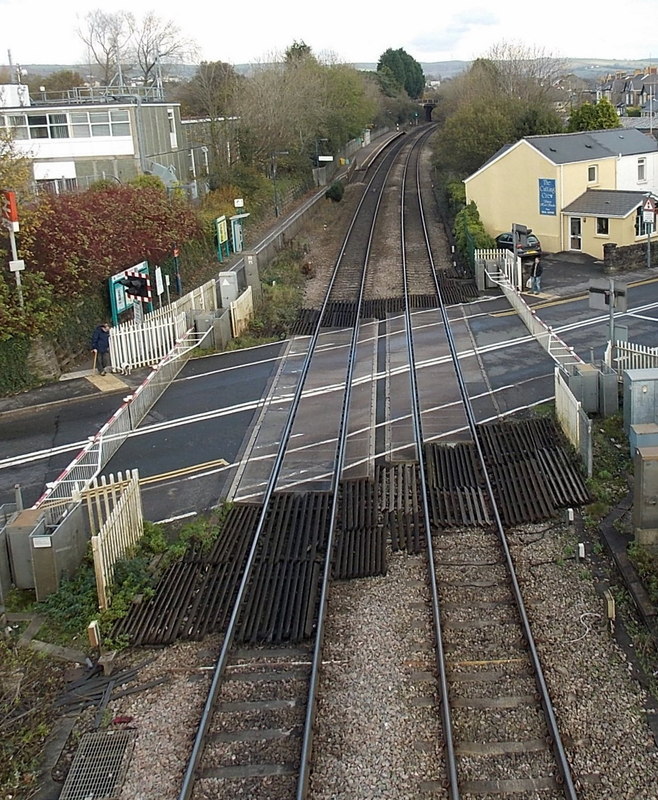
Pencoed railway station
Pencoed railway station is a minor station in Pencoed, Bridgend County Borough, south Wales. The station is located at street level at The Square in Pencoed...
Brackla East and Coychurch Lower
Brackla East and Coychurch Lower (Welsh: Dwyrain Brackla a Llangrallo Isaf) is the name of an electoral ward in Bridgend County Borough, Wales. It covers...
Coychurch
Coychurch (Welsh: Llangrallo) is a small village that sits between Pencoed and Bridgend in Wales, bordering with Bridgend Industrial Estate, where many...
Coychurch Lower
Coychurch Lower is a community in Bridgend County Borough, South Wales. Along with the communities of Brackla and Bridgend, it makes up the town of Bridgend...

St Mary Hill
St Mary Hill (Welsh: Eglwys Fair Y Mynydd) is a settlement in the Vale of Glamorgan, Wales. It is located approximately 4 miles (6.4 km) north west of...
Nearby Amenities
Located within 500m of 51.514587,-3.5160171Have you been to Coed Pant-y-pistyll?
Leave your review of Coed Pant-y-pistyll below (or comments, questions and feedback).