Coed-cae-garw
Wood, Forest in Glamorgan
Wales
Coed-cae-garw

Coed-cae-garw, located in Glamorgan, Wales, is a picturesque woodland area known for its natural beauty and rich history. Situated in the Garw Valley, this woodland covers a vast area of approximately 800 hectares, making it a popular destination for nature enthusiasts and outdoor enthusiasts alike.
Coed-cae-garw is characterized by its diverse range of tree species, including oak, beech, ash, and birch. The wood is home to a variety of wildlife, such as badgers, foxes, and numerous bird species, making it an ideal spot for birdwatching and wildlife spotting.
The woodland has a long and fascinating history. It was once an important hub for the coal mining industry in the 19th and early 20th centuries. The remnants of the mining industry, including old mine shafts and tramways, can still be found within the woodland, serving as a reminder of its industrial past.
Today, Coed-cae-garw offers a range of recreational activities for visitors to enjoy. There are several walking trails and footpaths that wind through the woodland, providing opportunities for hiking and exploring. The wood is also a popular spot for picnicking, with several designated areas equipped with benches and tables.
In recent years, efforts have been made to preserve and protect the woodland, ensuring its ecological and historical value. Coed-cae-garw is now managed by local authorities and conservation organizations, who work together to maintain its natural beauty and promote sustainable use of the area.
Overall, Coed-cae-garw is a charming woodland destination that offers a blend of natural beauty, rich history, and recreational activities, making it a must-visit location for those seeking a peaceful retreat in the heart of Glamorgan.
If you have any feedback on the listing, please let us know in the comments section below.
Coed-cae-garw Images
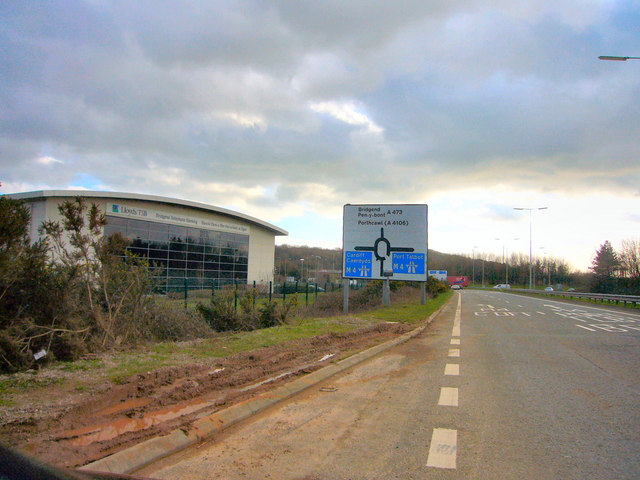
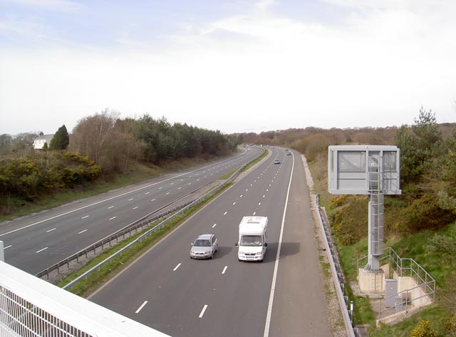
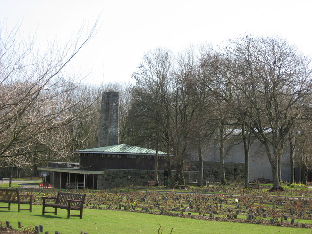
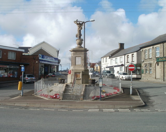
Images are sourced within 2km of 51.516077/-3.5259246 or Grid Reference SS9480. Thanks to Geograph Open Source API. All images are credited.


Coed-cae-garw is located at Grid Ref: SS9480 (Lat: 51.516077, Lng: -3.5259246)
Unitary Authority: Bridgend
Police Authority: South Wales
What 3 Words
///guilty.gloom.sprouted. Near Pencoed, Bridgend
Nearby Locations
Related Wikis

Coedymwstwr Woodlands
Coedymwstwr Woodlands is a Site of Special Scientific Interest located between Coychurch and Pencoed in Bridgend County Borough, south Wales. == See... ==

St Crallo's Church
St Crallo's Church, often referred to historically as The Cathedral of the Vale of Glamorgan, is a Grade I listed church in Coychurch Lower, Bridgend County...
Pencoed
Pencoed (Welsh: Pen-coed) is a town and community in the county borough of Bridgend, Wales. It straddles the M4 motorway north east of Bridgend and is...
Brackla East and Coychurch Lower
Brackla East and Coychurch Lower (Welsh: Dwyrain Brackla a Llangrallo Isaf) is the name of an electoral ward in Bridgend County Borough, Wales. It covers...
Brackla
Brackla (Welsh: Bracla) is a large housing estate and community in the east of Bridgend in Bridgend County Borough, Wales. Along with the communities of...
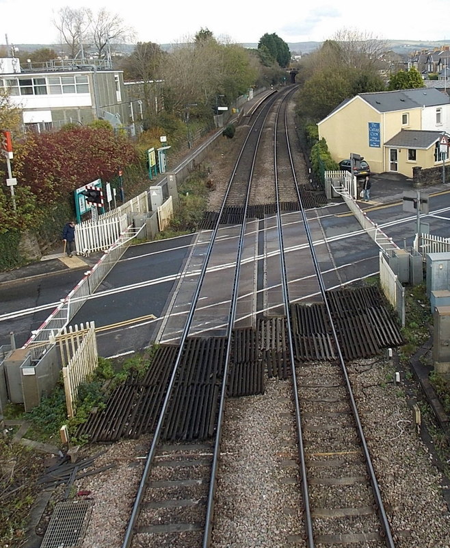
Pencoed railway station
Pencoed railway station is a minor station in Pencoed, Bridgend County Borough, south Wales. The station is located at street level at The Square in Pencoed...
Coity Higher
Coity Higher is a community in Bridgend County Borough, south Wales. It contains the north western suburbs of Bridgend which includes the villages of Litchard...
Coity
Coity is a village in Bridgend County Borough, south Wales, part of Bridgend town urban area. Coity is part of the community of Coity Higher and is notable...
Nearby Amenities
Located within 500m of 51.516077,-3.5259246Have you been to Coed-cae-garw?
Leave your review of Coed-cae-garw below (or comments, questions and feedback).