Bush Green
Settlement in Suffolk West Suffolk
England
Bush Green
Bush Green is a small village located in the county of Suffolk, England. Situated approximately 10 miles southwest of the town of Ipswich, it falls within the Babergh district. The village is surrounded by picturesque countryside, featuring rolling fields, meadows, and charming woodland areas.
Despite its small size, Bush Green has a close-knit community that takes pride in its rural heritage. The village is known for its traditional thatched cottages and historic buildings, which provide a glimpse into its rich history. The local church, St. Mary's, is a prominent landmark that dates back to the 14th century and showcases beautiful architectural details.
Agriculture plays an essential role in the village's economy, with farming being a common occupation among its residents. The fertile land surrounding Bush Green is utilized for growing various crops, including wheat, barley, and oilseed rape. Livestock farming, particularly sheep and cattle rearing, is also prevalent in the area.
Nature enthusiasts are drawn to Bush Green due to its proximity to the Dedham Vale Area of Outstanding Natural Beauty, which offers stunning landscapes and opportunities for outdoor activities. The nearby River Stour is a popular spot for boating, fishing, and riverside walks.
While Bush Green may lack some of the amenities found in larger towns, the village benefits from its peaceful atmosphere and idyllic surroundings. It provides a tranquil retreat for those seeking a slower-paced lifestyle and a chance to connect with nature.
If you have any feedback on the listing, please let us know in the comments section below.
Bush Green Images
Images are sourced within 2km of 52.178358/0.79562081 or Grid Reference TL9157. Thanks to Geograph Open Source API. All images are credited.


Bush Green is located at Grid Ref: TL9157 (Lat: 52.178358, Lng: 0.79562081)
Administrative County: Suffolk
District: West Suffolk
Police Authority: Suffolk
What 3 Words
///loaded.newsprint.trim. Near Lavenham, Suffolk
Nearby Locations
Related Wikis

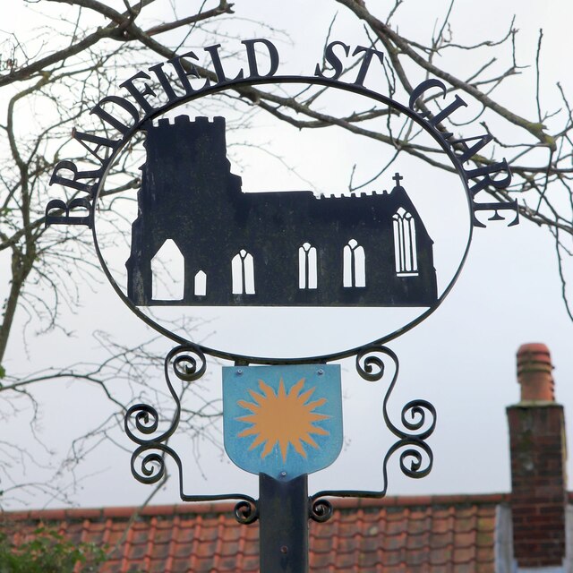
Bradfield St Clare
Bradfield St. Clare is a village and civil parish in the West Suffolk district of Suffolk, England, about six miles south of Bury St Edmunds. According...
Church of St Clare, Bradfield
The Church of St Clare, Bradfield is the Anglican parish church of Bradfield St Clare, in the district of West Suffolk, Suffolk. The original structure...

St Margaret's Church, Westhorpe
St Margaret's Church is the parish church of Westhorpe, Suffolk, England. It is part of the Badwell and Walsham Benefice. It is a Grade I listed building...

Bradfield Woods
Bradfield Woods is an 81.4-hectare (201-acre) biological Site of Special Scientific Interest between Bury St Edmunds and Stowmarket in Suffolk. The site...
Nearby Amenities
Located within 500m of 52.178358,0.79562081Have you been to Bush Green?
Leave your review of Bush Green below (or comments, questions and feedback).