Bradfield St. Clare
Civil Parish in Suffolk St Edmundsbury
England
Bradfield St. Clare
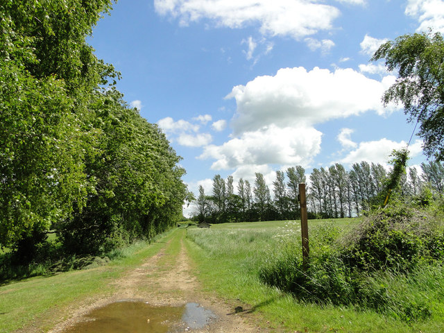
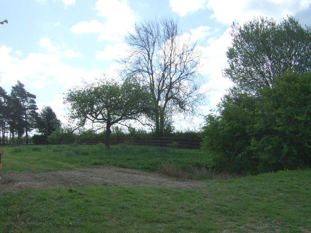
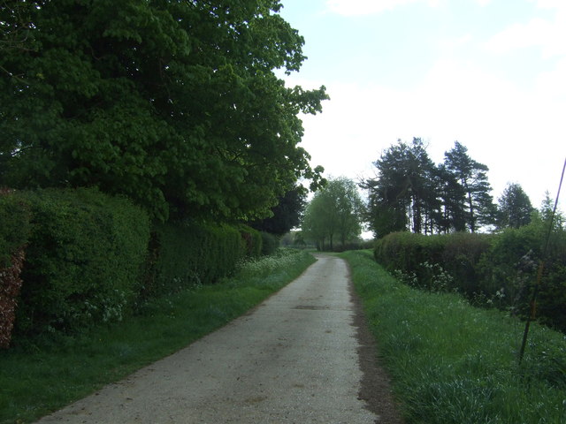
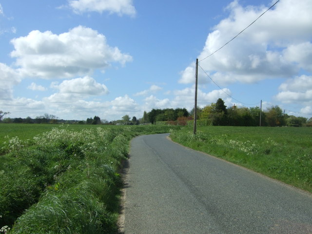
Bradfield St. Clare is a civil parish located in the county of Suffolk, England. Situated approximately 12 miles northeast of the town of Bury St. Edmunds, it covers an area of about 8.5 square kilometers. The parish is nestled in the idyllic countryside, surrounded by rolling fields and picturesque landscapes.
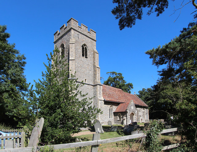
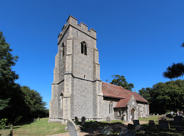
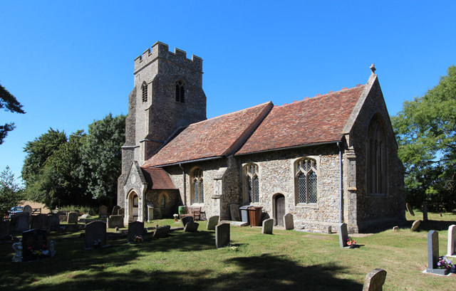
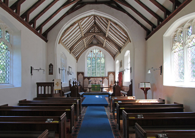
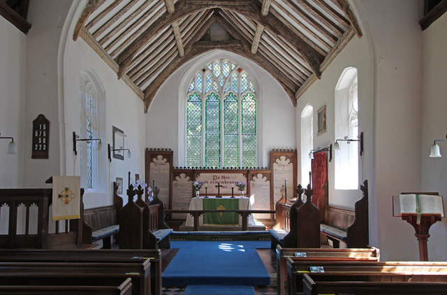
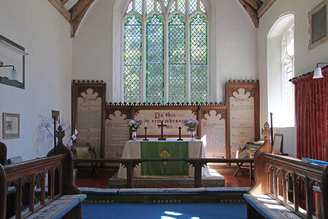
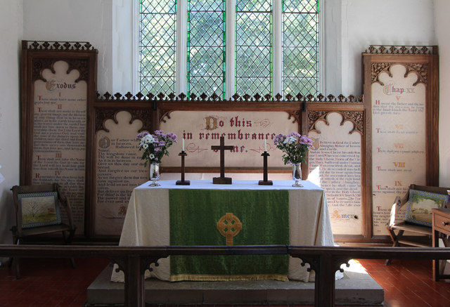
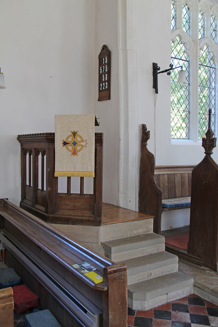
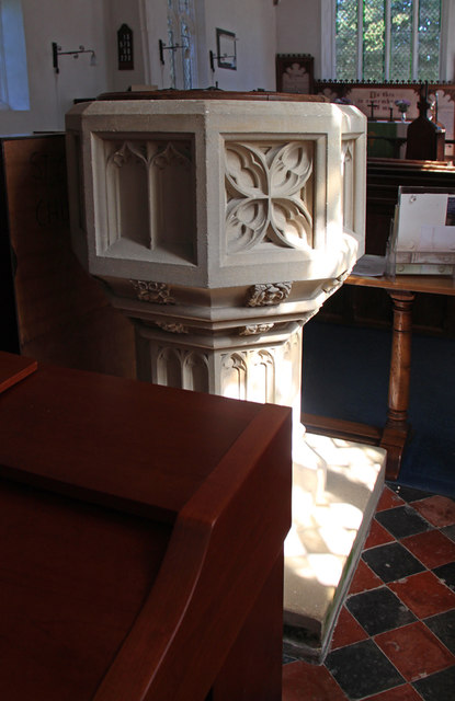
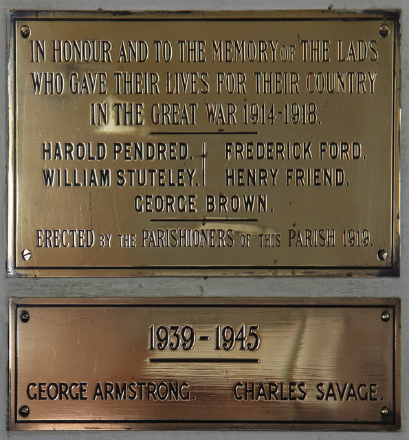
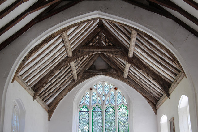
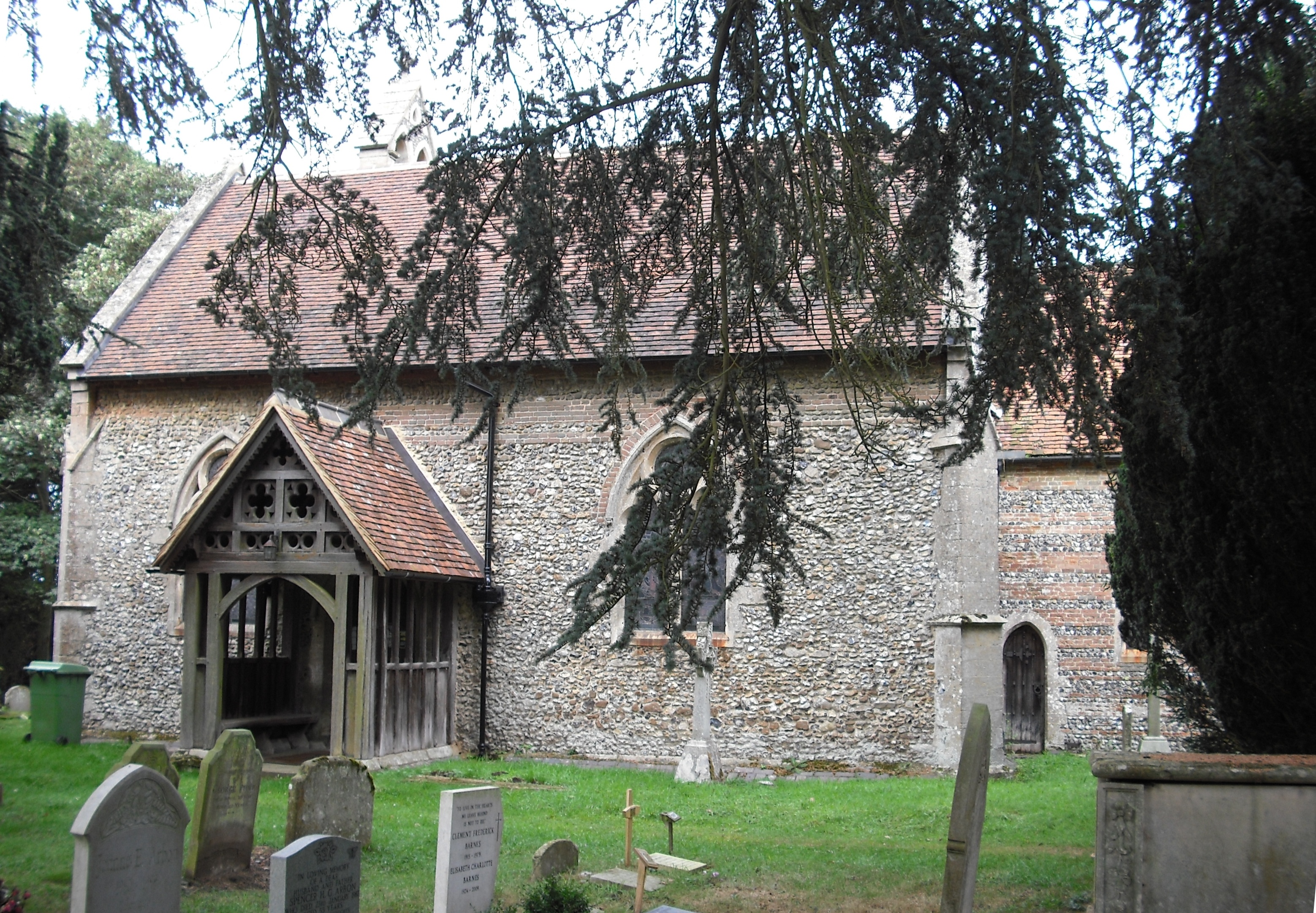
The village of Bradfield St. Clare itself is small and charming, with a population of around 200 residents. It is characterized by traditional English cottages and a quaint village green, creating a peaceful and inviting atmosphere. The parish church, St. Clare's Church, is a prominent feature in the village, dating back to the 14th century. Its stunning architecture and historic significance make it a cultural gem within the area.
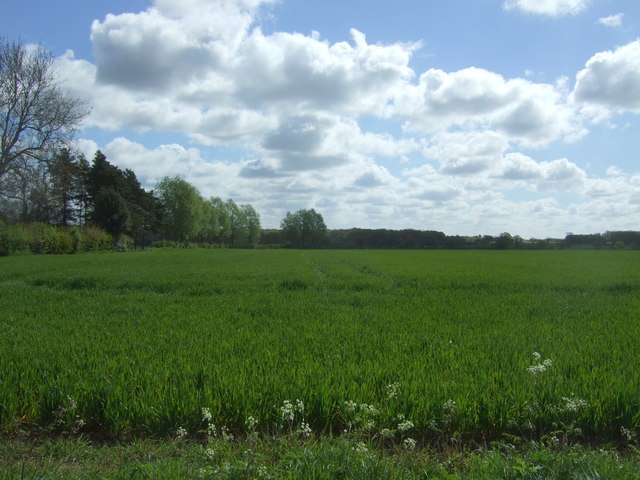
The local economy is primarily based on agriculture, with farming playing a significant role in the community. The fertile soil and favorable climate in the region make it ideal for arable farming, and residents take pride in their agricultural heritage.
Bradfield St. Clare is also known for its close-knit community and active social life. The village hall serves as a hub for various community events, including meetings, parties, and local gatherings. Residents often come together to celebrate annual festivals and organize activities for all ages.
With its tranquil setting, rich history, and strong sense of community, Bradfield St. Clare offers a delightful countryside experience for both residents and visitors alike.
If you have any feedback on the listing, please let us know in the comments section below.
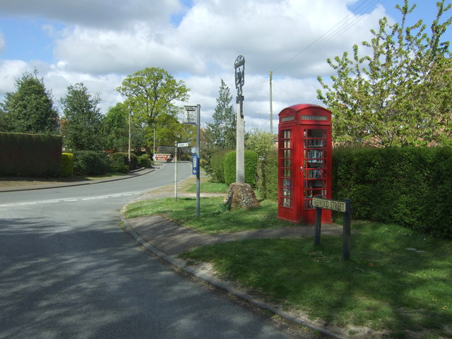
Bradfield St. Clare Images
Images are sourced within 2km of 52.184444/0.797774 or Grid Reference TL9157. Thanks to Geograph Open Source API. All images are credited.

Bradfield St. Clare is located at Grid Ref: TL9157 (Lat: 52.184444, Lng: 0.797774)
Administrative County: Suffolk
District: St Edmundsbury
Police Authority: Suffolk
What 3 Words
///period.imply.first. Near Thurston, Suffolk
Nearby Locations
Related Wikis

Church of St Clare, Bradfield
The Church of St Clare, Bradfield is the Anglican parish church of Bradfield St Clare, in the district of West Suffolk, Suffolk. The original structure...

St Margaret's Church, Westhorpe
St Margaret's Church is the parish church of Westhorpe, Suffolk, England. It is part of the Badwell and Walsham Benefice. It is a Grade I listed building...
Bradfield St Clare
Bradfield St. Clare is a village and civil parish in the West Suffolk district of Suffolk, England. According to Eilert Ekwall, the meaning of the village...

Bradfield Woods
Bradfield Woods is an 81.4-hectare (201-acre) biological Site of Special Scientific Interest between Bury St Edmunds and Stowmarket in Suffolk. The site...
Bradfield Combust
Bradfield Combust (or Burnt Bradfield) is a village and former manor and civil parish, now in the parish of Bradfield Combust with Stanningfield, the West...

Welnetham railway station
Welnetham railway station was on the Long Melford-Bury St Edmunds branch line, serving Great Whelnetham, Little Whelnetham and Sicklesmere in Suffolk....

Bradfield St George
Bradfield St. George is a village and civil parish in the West Suffolk district of Suffolk, England, about 6 miles (9.7 km) south of Bury St Edmunds. According...

Bull's Wood
Bull's Wood is a 12 hectare nature reserve east of Cockfield in Suffolk, England. It is managed by the Suffolk Wildlife Trust, and is part of the Thorpe...
Nearby Amenities
Located within 500m of 52.184444,0.797774Have you been to Bradfield St. Clare?
Leave your review of Bradfield St. Clare below (or comments, questions and feedback).