Bush

Settlement in Kincardineshire

Scotland

Bush

Minor road joining the A92 at Elsinor Looking north-westward.
Minor road joining the A92 at Elsinor Credit: Peter Wood

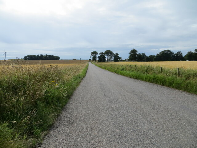
Bush is a small rural village located in the county of Kincardineshire, Scotland. Situated approximately 11 miles south of Aberdeen, it lies on the eastern bank of the River Dee. With a population of around 500 residents, the village is known for its picturesque landscapes and tranquil surroundings.

The village of Bush has a rich history dating back to medieval times, with evidence of settlements in the area since the 12th century. The name "Bush" is derived from the Gaelic word "both," meaning a small hut or dwelling, which reflects the village's origins as a cluster of simple dwellings.

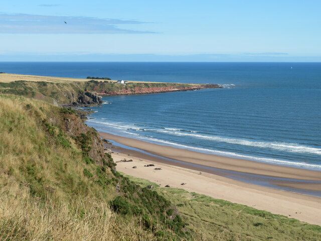
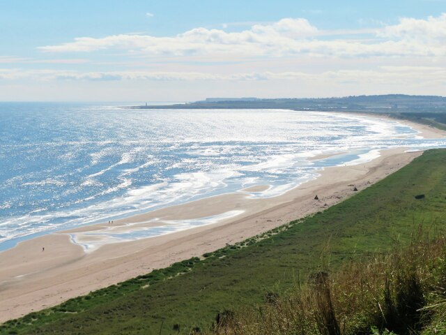
Today, Bush offers a peaceful retreat from the hustle and bustle of nearby urban centers. The village is surrounded by lush green fields, rolling hills, and dense forests, providing ample opportunities for outdoor activities such as hiking, cycling, and fishing. The River Dee, which flows nearby, is renowned for its salmon fishing, attracting anglers from far and wide.

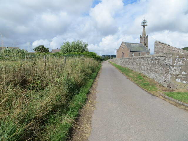
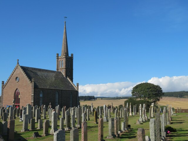
Despite its small size, Bush has a close-knit community with a strong sense of pride in its heritage. The village features a primary school, a village hall, and a historic church, which serves as a focal point for social gatherings and community events.

While Bush may lack the amenities and facilities of larger towns, its charm lies in its unspoiled natural beauty and tranquil ambiance. Visitors to Bush can expect a warm welcome from friendly locals and the chance to immerse themselves in the stunning Scottish countryside.

If you have any feedback on the listing, please let us know in the comments section below.
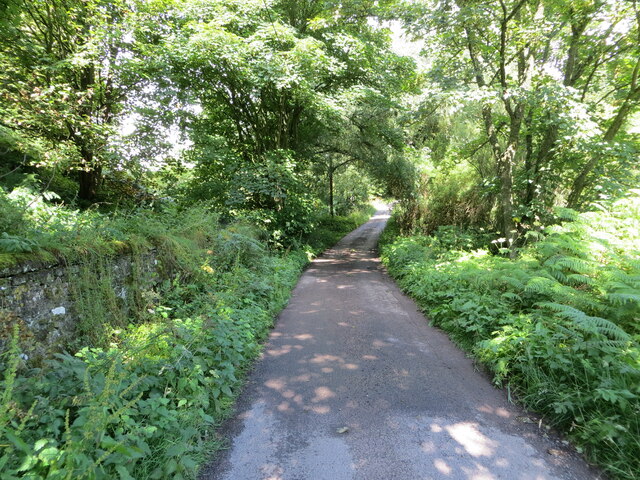
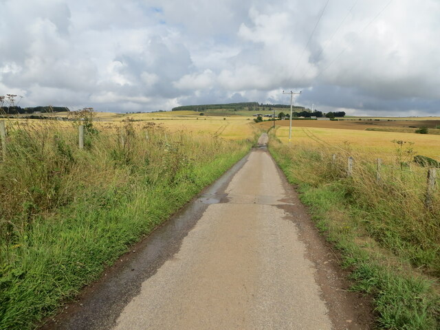
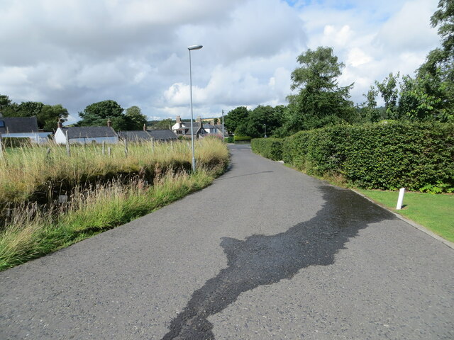
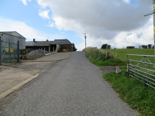
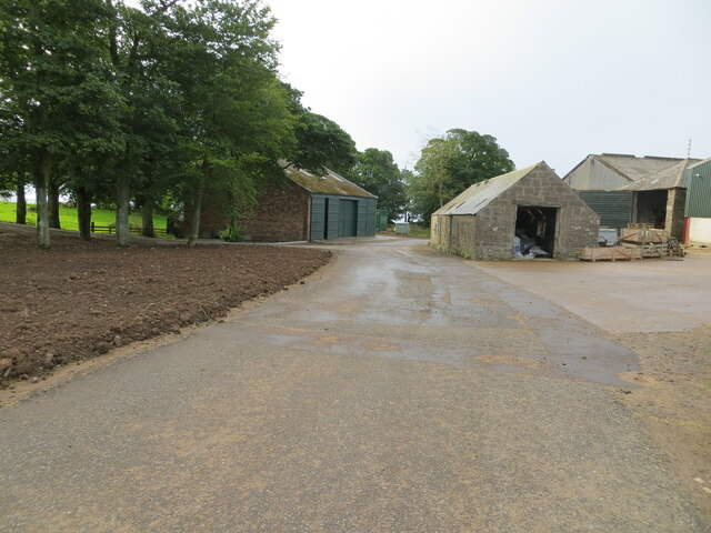
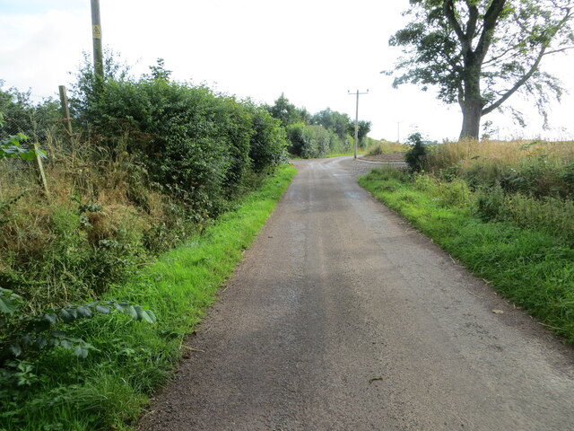
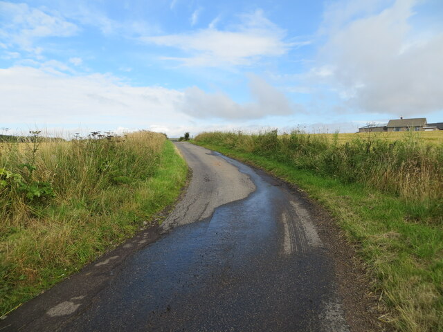
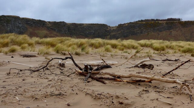
Bush Images

Images are sourced within 2km of 56.782225/-2.393867 or Grid Reference NO7665. Thanks to Geograph Open Source API. All images are credited.

Minor road joining the A92 at Elsinor Looking north-westward.
Minor road joining the A92 at Elsinor
Looking north-westward.
Minor road between Milton of Mathers and Elsinor Looking north-westward.
Minor road between Milton of Mathers and Elsinor
Looking north-westward.
Tree-lined minor road near to Miltonhaven Caravan Park
Minor road at Nether Woodston Looking north-westward.
Minor road at Nether Woodston
Looking north-westward.
Beach Road, St Cyrus Looking north-westward.
Beach Road, St Cyrus
Looking north-westward.
Beach Road, St Cyrus Looking north-westward towards the 'under repair' St Cyrus Church.
Beach Road, St Cyrus
Looking north-westward towards the 'under repair' St Cyrus Church.
Minor road at Greenburn Looking south-westward.
Minor road at Greenburn
Looking south-westward.
Minor road at Mains of Woodstone Looking south-eastward.
Minor road at Mains of Woodstone
Looking south-eastward.
Minor road near to Mains of Woodstone Looking eastward.
Minor road near to Mains of Woodstone
Looking eastward.
Minor road near to Totterie Looking north-westward.
Minor road near to Totterie
Looking north-westward.
Road (B9120) approaching Lauriston Looking south-eastward.
Road (B9120) approaching Lauriston
Looking south-eastward.
St Cyrus sands The view from the clifftop at Kirkton, looking down to the beach and across to the headland of Milton Ness.
St Cyrus sands
The view from the clifftop at Kirkton, looking down to the beach and across to the headland of Milton Ness.
Montrose Bay Looking down to the Sands of St Cyrus from the clifftop at Kirkton. The long sand fringed bay extending all the way to Montrose.
Montrose Bay
Looking down to the Sands of St Cyrus from the clifftop at Kirkton. The long sand fringed bay extending all the way to Montrose.
St Cyrus parish church Late 18th century church at the eastern end of St Cyrus village in the area known as Kirkton.
St Cyrus parish church
Late 18th century church at the eastern end of St Cyrus village in the area known as Kirkton.
Ordnance Survey Cut Mark This mark can be found on the wall of Elsinore.
The recorded details give a height of 62.634 metres above sea level.
For more detail see : <span class="nowrap"><a title="https://www.bench-marks.org.uk/bm162467" rel="nofollow ugc noopener" href="https://www.bench-marks.org.uk/bm162467">Link</a><img style="margin-left:2px;" alt="External link" title="External link - shift click to open in new window" src="https://s1.geograph.org.uk/img/external.png" width="10" height="10"/></span>
Ordnance Survey Cut Mark
This mark can be found on the wall of Elsinore. The recorded details give a height of 62.634 metres above sea level. For more detail see : LinkExternal link
Ordnance Survey Flush Bracket S7206 This bracket can be found on the wall of a private house - formerly Church Hall - in St Cyrus.
The recorded details give a height of 74.304 metres above sea level.
For more detail see : <span class="nowrap"><a title="https://www.bench-marks.org.uk/bm1239" rel="nofollow ugc noopener" href="https://www.bench-marks.org.uk/bm1239">Link</a><img style="margin-left:2px;" alt="External link" title="External link - shift click to open in new window" src="https://s1.geograph.org.uk/img/external.png" width="10" height="10"/></span>
Ordnance Survey Flush Bracket S7206
This bracket can be found on the wall of a private house - formerly Church Hall - in St Cyrus. The recorded details give a height of 74.304 metres above sea level. For more detail see : LinkExternal link
Driftwood at St Cyrus beach The cliffs of the Heughs of St Cyrus in the distance.
Driftwood at St Cyrus beach
The cliffs of the Heughs of St Cyrus in the distance.
Closed up fishing bothy at St Cyrus beach This is one of two fishing bothies which have been acquired by NatureScot from the Esk District Salmon Fishery Board.  The intention is to use them as outdoor classrooms, exhibition areas, museums, or bothies – all ideas currently out for local consultation.
Closed up fishing bothy at St Cyrus beach
This is one of two fishing bothies which have been acquired by NatureScot from the Esk District Salmon Fishery Board. The intention is to use them as outdoor classrooms, exhibition areas, museums, or bothies – all ideas currently out for local consultation.
Show me another place!

Bush is located at Grid Ref: NO7665 (Lat: 56.782225, Lng: -2.393867)

Unitary Authority: Aberdeenshire

Police Authority: North East

What 3 Words

///commenced.before.fixed. Near St Cyrus, Aberdeenshire

Nearby Locations

Bush

Related Wikis

Lauriston railway station

Lauriston railway station served the village of Bush, Aberdeenshire, Scotland from 1865 to 1966 on the Montrose and Bervie Railway. == History == The station...

Lauriston Castle, Aberdeenshire

Lauriston Castle stands on a clifftop site near the Aberdeenshire village of St Cyrus and just over a mile inland from the North Sea coast of Scotland...

Milton Ness

Milton Ness is a coastal landform along the coast of the North Sea approximately two miles south of the village of Johnshaven, Scotland. This headland...

St Cyrus railway station

St Cyrus railway station served the village of St Cyrus, Aberdeenshire, Scotland from 1865 to 1951. == History == The station was opened on 1 November...

Nearby Amenities

Located within 500m of 56.782225,-2.393867
Bush
Place: hamlet
Lat/Long: 56.7839347/-2.3910112
West Mathers
Place: isolated_dwelling
Lat/Long: 56.7797881/-2.3915208
Mill of Woodston
Place: isolated_dwelling
Lat/Long: 56.7793296/-2.3974861
Power: pole
Lat/Long: 56.7822347/-2.3856677
Power: pole
Lat/Long: 56.7826729/-2.3863411
Power: pole
Lat/Long: 56.7865645/-2.3921791
Power: pole
Lat/Long: 56.786036/-2.3917022
Power: pole
Lat/Long: 56.7855391/-2.3912475
Power: pole
Lat/Long: 56.7850507/-2.3907973
Power: pole
Lat/Long: 56.7847725/-2.3906221
Power: pole
Lat/Long: 56.7839456/-2.3896578
Power: pole
Lat/Long: 56.7833829/-2.3887036
Power: pole
Lat/Long: 56.7830478/-2.3881589
Power: pole
Lat/Long: 56.7828705/-2.3872413
Power: pole
Lat/Long: 56.7827437/-2.3886325
Power: pole
Lat/Long: 56.7823189/-2.389284
Power: pole
Lat/Long: 56.7820019/-2.3897719
Power: pole
Lat/Long: 56.7815746/-2.3904304
Power: pole
Lat/Long: 56.7811375/-2.3911097
Power: pole
Lat/Long: 56.7806944/-2.3917889
Power: pole
Lat/Long: 56.7802961/-2.3920064
Power: pole
Lat/Long: 56.779684/-2.3923328
Power: pole
Lat/Long: 56.7793866/-2.397214
Power: pole
Lat/Long: 56.7794655/-2.3959465
Power: pole
Lat/Long: 56.7795357/-2.3948109
Power: pole
Lat/Long: 56.7796126/-2.3935543
Access: private
Barrier: height_restrictor
Lat/Long: 56.7834959/-2.3929113
Lauriston
Historic Railway: station
Railway: site
Wikidata: Q58406970
Wikipedia: en:Lauriston railway station
Lat/Long: 56.7826008/-2.3929182
The data included in this document is from www.openstreetmap.org. The data is made available under ODbL.

Have you been to Bush?

Leave your review of Bush below (or comments, questions and feedback).