Coed Fach-ddeiliog
Wood, Forest in Merionethshire
Wales
Coed Fach-ddeiliog
The requested URL returned error: 429 Too Many Requests
If you have any feedback on the listing, please let us know in the comments section below.
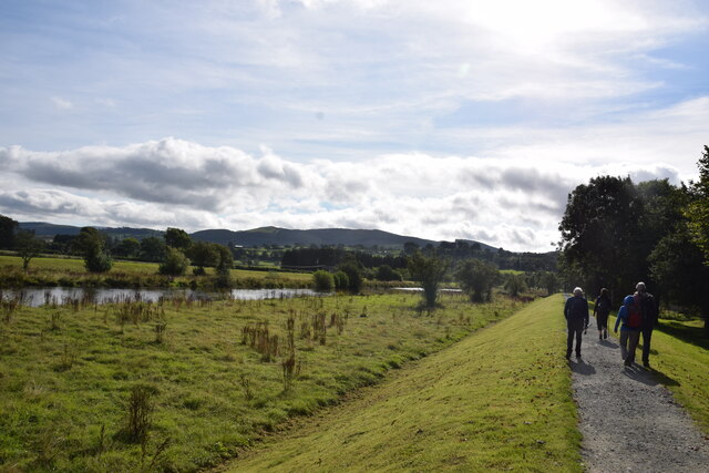
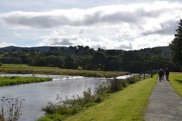
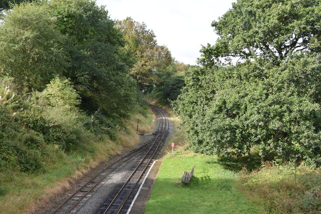
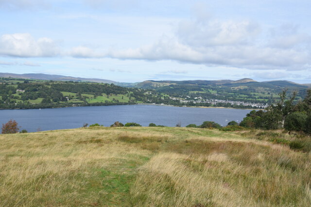
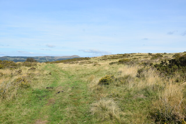
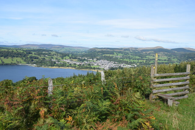
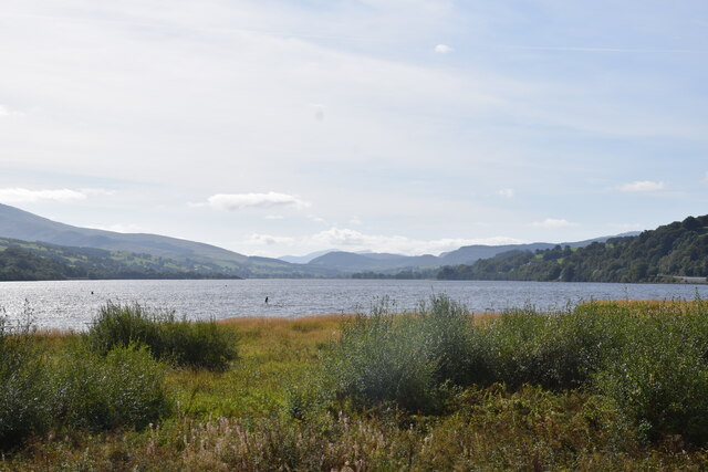
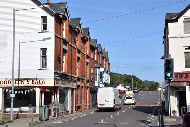
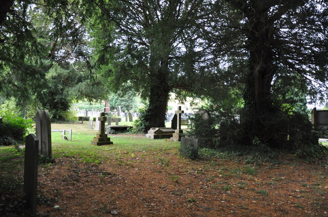
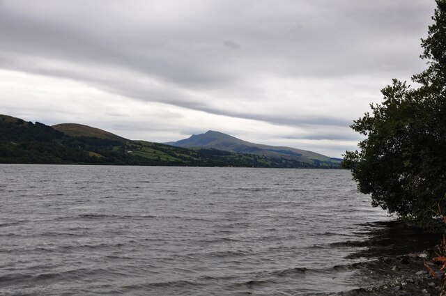
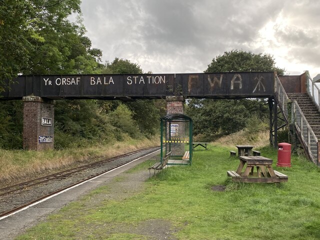
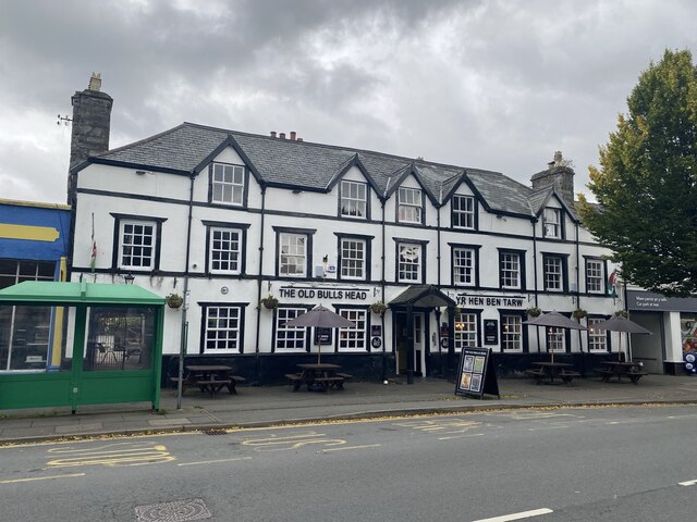
Coed Fach-ddeiliog Images
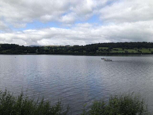
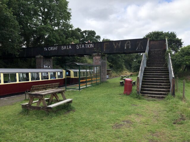
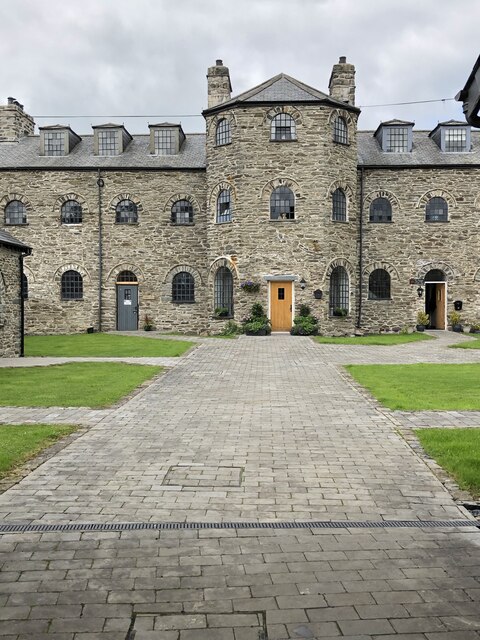
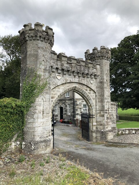
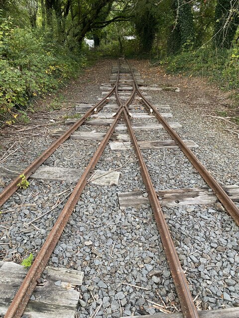
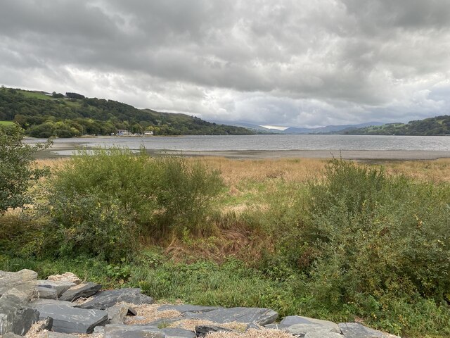
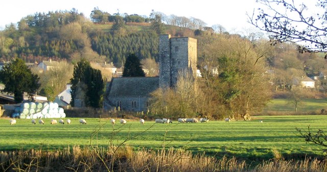
Images are sourced within 2km of 52.898123/-3.592695 or Grid Reference SH9234. Thanks to Geograph Open Source API. All images are credited.
Coed Fach-ddeiliog is located at Grid Ref: SH9234 (Lat: 52.898123, Lng: -3.592695)
Unitary Authority: Gwynedd
Police Authority: North Wales
What 3 Words
///mountains.tabs.suffix. Near Bala, Gwynedd
Nearby Locations
Related Wikis
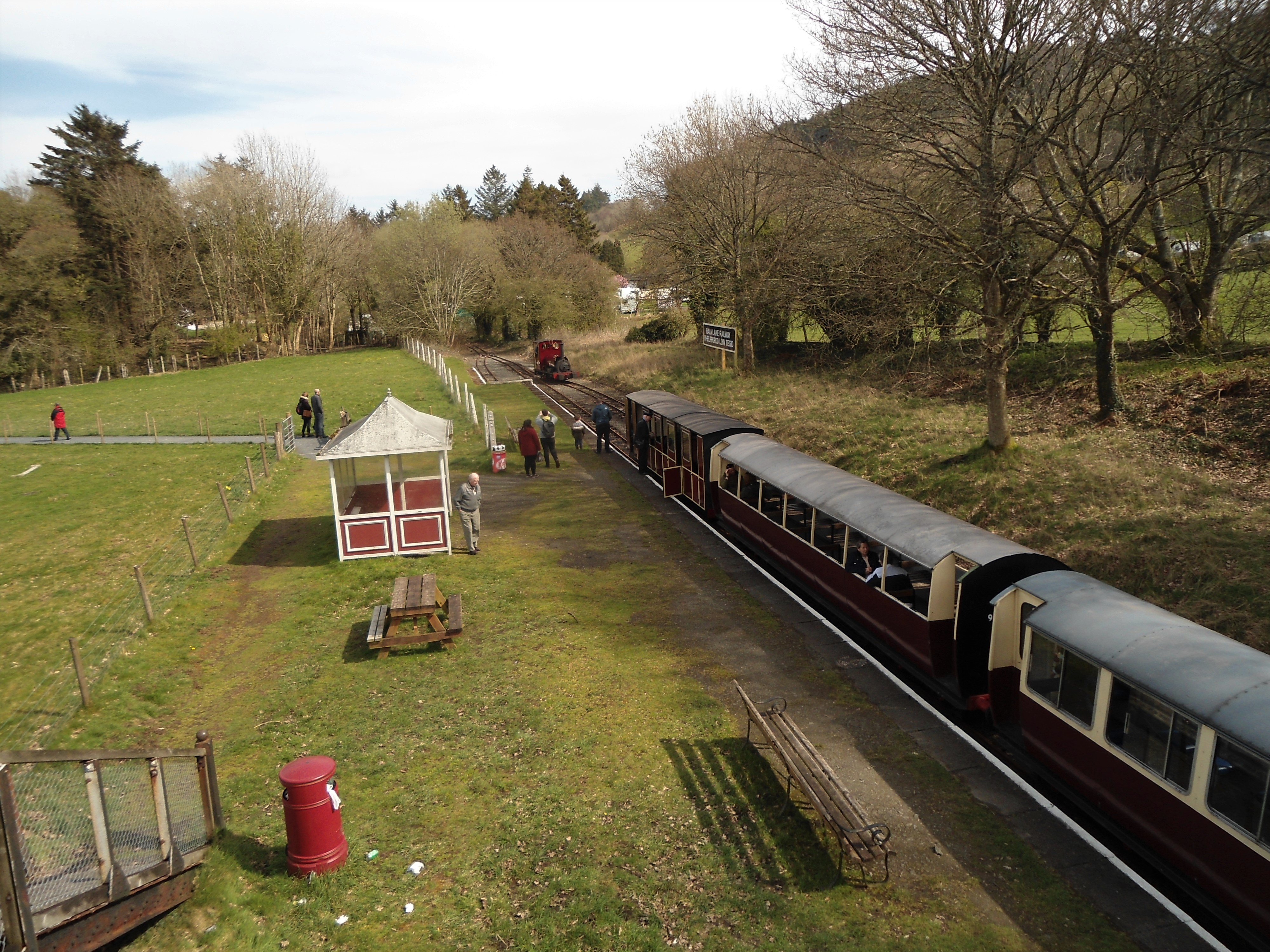
Bala (Penybont) railway station
Bala (Penybont) is the current terminus of the heritage Bala Lake Railway, in Gwynedd, Wales, since 1976. The site was formerly the location of the Bala...

Hirnant Limestone
The Hirnant Limestone is an old name for a geologic formation in England and Wales, defining the Hirnantian. It preserves fossils dating back to the Ordovician...
Llanycil
Llanycil is a community in the county of Gwynedd, Wales, near Bala, and is 99.9 miles (160.7 km) from Cardiff and 176.2 miles (283.6 km) from London. In...

Bala Junction railway station
Bala Junction railway station was on the Ruabon to Barmouth line in southern Gwynedd, Wales. It closed to passengers on Monday 18 January 1965. Bala Junction...
Nearby Amenities
Located within 500m of 52.898123,-3.592695Have you been to Coed Fach-ddeiliog?
Leave your review of Coed Fach-ddeiliog below (or comments, questions and feedback).