Clawdd-y-coed

Wood, Forest in Montgomeryshire

Wales

Clawdd-y-coed

Looking west from Talerddig summit
Looking west from Talerddig summit Credit: John Lucas

The requested URL returned error: 429 Too Many Requests

If you have any feedback on the listing, please let us know in the comments section below.

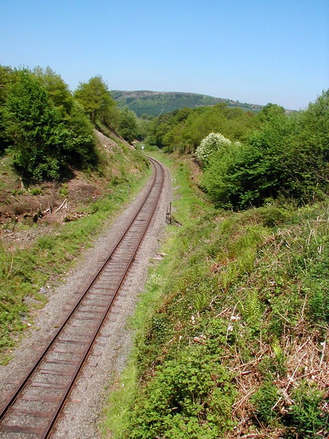
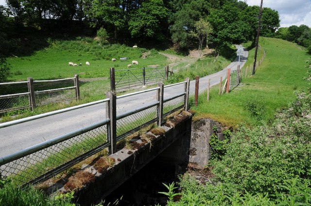
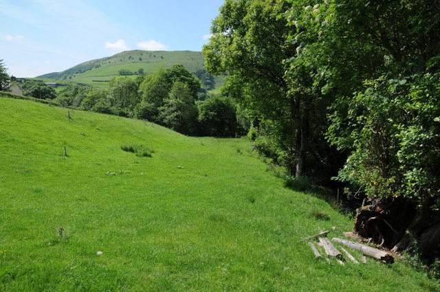
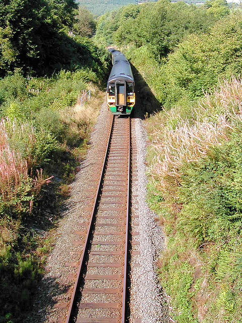
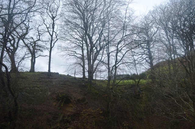
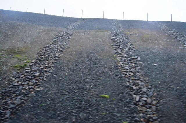
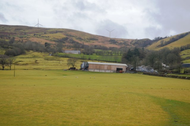
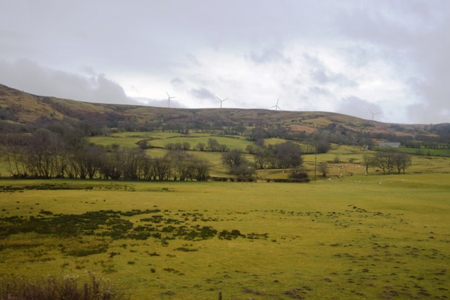
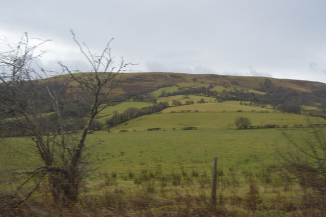
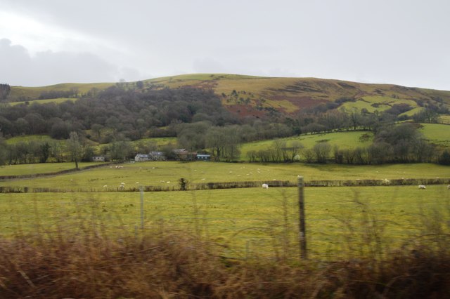
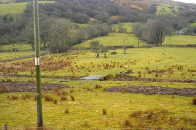
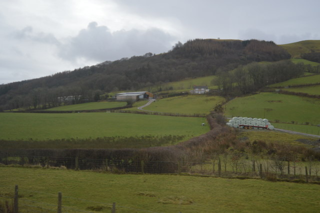
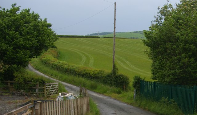
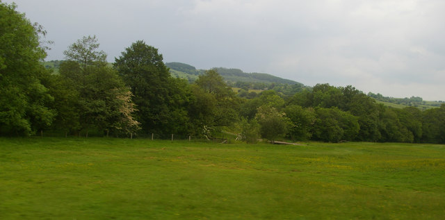
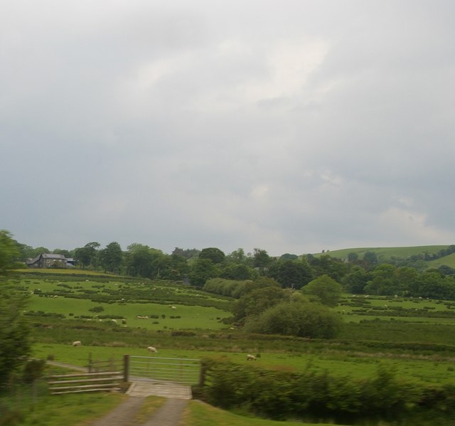
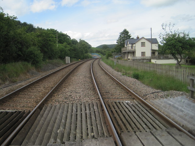
Clawdd-y-coed Images

Images are sourced within 2km of 52.572906/-3.5829173 or Grid Reference SN9298. Thanks to Geograph Open Source API. All images are credited.

Looking west from Talerddig summit
Bridge crossing Afon Tyn-y-rhos Bridge carrying a country road  across Afon Tyn-y-rhos near Talerddig.
Bridge crossing Afon Tyn-y-rhos
Bridge carrying a country road across Afon Tyn-y-rhos near Talerddig.
Field beside Afon Tyn-y-rhos Field beside Afon Tyn-y-rhos near Talerddig.
Field beside Afon Tyn-y-rhos
Field beside Afon Tyn-y-rhos near Talerddig.
An Arriva train at the summit of Tallerddig bank Nearing the passing loop at the old station site.
An Arriva train at the summit of Tallerddig bank
Nearing the passing loop at the old station site.
In a railway cutting
Railway cutting
Railway cutting
Near Tyddyn
Near Tyddyn
Near Tyddyn
Near Tyddyn
Pikins
Pikins
Small bridge
Small bridge
Coed y Sarn
Coed y Sarn
Lane north from the level crossing at Talerddig
Field south of Talerddig The line of trees along the field marks the course of one of the headwaters of Afon Carno.
Field south of Talerddig
The line of trees along the field marks the course of one of the headwaters of Afon Carno.
Track south of Talerddig
Looking from the railway towards Glanhanog
Talerddig railway station (site), Powys Opened in 1900 by the Cambrian Railway on the line from Newtown to Machynlleth (some 37 years after the line itself had opened), this station closed in 1965. 
View north west from a level crossing toward Llanbrynmair and Machynlleth. The old station was now a private residence when this image was taken.
Talerddig railway station (site), Powys
Opened in 1900 by the Cambrian Railway on the line from Newtown to Machynlleth (some 37 years after the line itself had opened), this station closed in 1965. View north west from a level crossing toward Llanbrynmair and Machynlleth. The old station was now a private residence when this image was taken.
Milestone - Newtown 15 NE side of the road.
Milestone - Newtown 15
NE side of the road.
Show me another place!

Clawdd-y-coed is located at Grid Ref: SN9298 (Lat: 52.572906, Lng: -3.5829173)

Unitary Authority: Powys

Police Authority: Dyfed Powys

What 3 Words

///storybook.cupcake.weekday. Near Staylittle, Powys

Nearby Locations

Clawdd-y-coed

Related Wikis

Talerddig railway station

Talerddig railway station was a station in Talerddig, Powys, Wales. The station opened in 1900 and closed on 14 June 1965, one of many on the line abandoned...

Talerddig

Talerddig is a village in Powys, mid Wales, located on the main A470 road between Llanbrynmair and Carno. It is part of Llanbrynmair community. == Talerddig... ==

Golfa railway station

Golfa railway station is a preserved station that serves the area of Golfa, Powys, Wales, on the Welshpool and Llanfair Light Railway. == History == The...

Carno wind farm

Carno is a wind farm of 68 turbines which started operation in October 1996. It covers an area of over 600 hectares on Trannon Moor, a plateau to the west...

Nearby Amenities

Located within 500m of 52.572906,-3.5829173
Ford: yes
Lat/Long: 52.5760132/-3.5777254
Building: yes
Lat/Long: 52.5741814/-3.5794166
The data included in this document is from www.openstreetmap.org. The data is made available under ODbL.

Have you been to Clawdd-y-coed?

Leave your review of Clawdd-y-coed below (or comments, questions and feedback).