Allt Gau
Wood, Forest in Montgomeryshire
Wales
Allt Gau
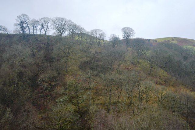
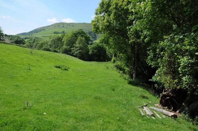
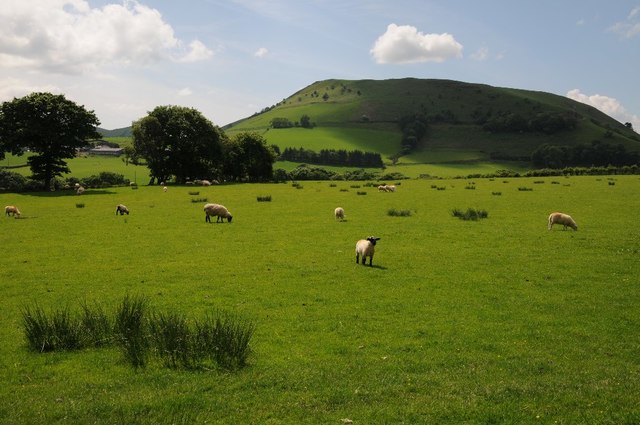
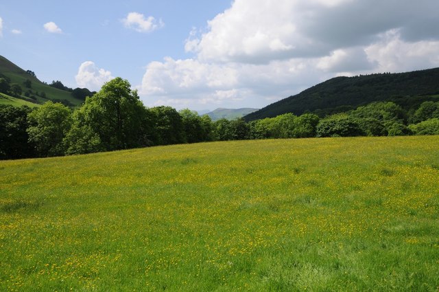
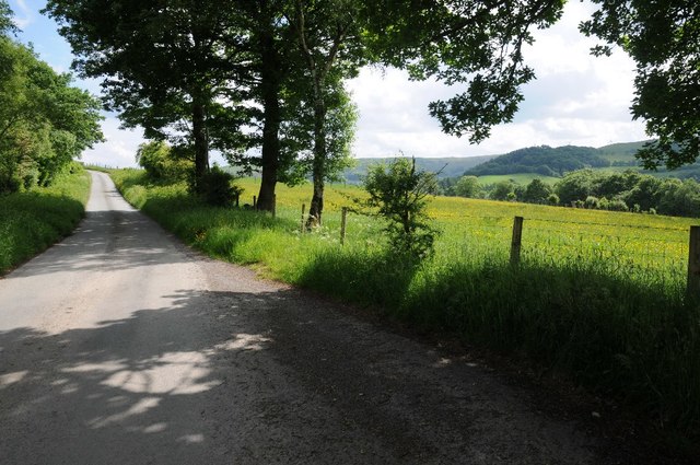
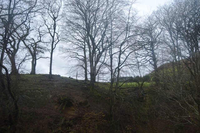
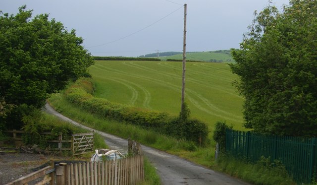
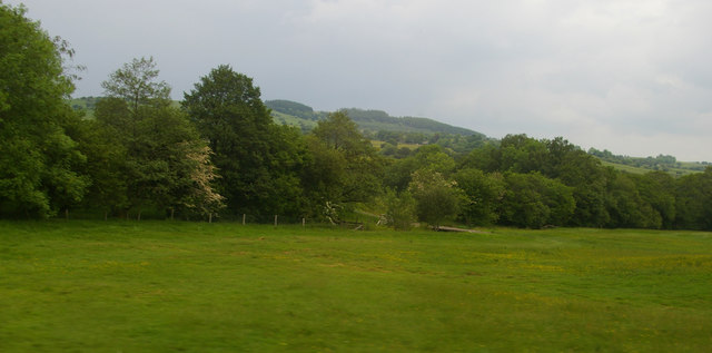
Allt Gau is a beautiful woodland area located in Montgomeryshire, Wales. Covering an expansive area, it is known for its dense forest and stunning natural scenery. The name "Allt Gau" translates to "Wood, Forest" in English, which accurately depicts the area's abundant tree cover.
The woodland is home to a diverse range of tree species, including oak, beech, birch, and pine, providing a rich habitat for various wildlife. The forest floor is carpeted with a lush undergrowth of ferns, wildflowers, and mosses, creating a vibrant and biodiverse ecosystem.
Allt Gau attracts nature enthusiasts, hikers, and photographers from far and wide due to its tranquil atmosphere and picturesque landscapes. Numerous walking trails wind their way through the woods, offering visitors the opportunity to explore the area's natural beauty at their own pace.
The woodland is also known for its historical significance. It is believed to have been used as a hunting ground by ancient civilizations, with traces of prehistoric settlements discovered in the area. Additionally, remnants of charcoal production from the Middle Ages have been found, highlighting the forest's long history of human interaction.
Allt Gau is a haven for wildlife, with sightings of various native species, such as red squirrels, badgers, and a variety of bird species. The forest is carefully managed to preserve its natural integrity, ensuring a sustainable habitat for the resident flora and fauna.
In summary, Allt Gau is a captivating woodland area in Montgomeryshire, boasting towering trees, diverse wildlife, and a rich historical heritage. It offers a serene and immersive experience for nature lovers and those seeking an escape from the bustle of everyday life.
If you have any feedback on the listing, please let us know in the comments section below.
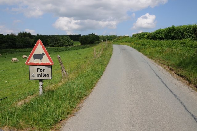
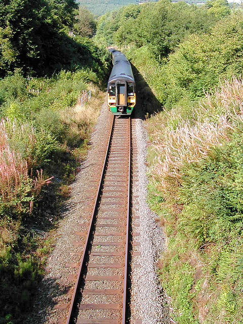
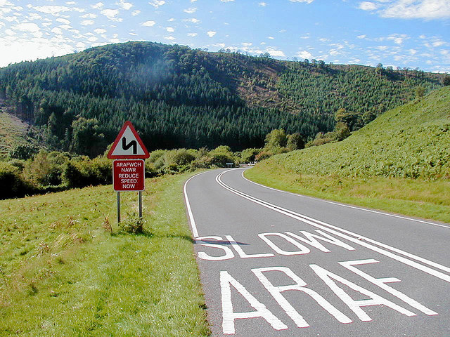
Allt Gau Images
Images are sourced within 2km of 52.584479/-3.5841315 or Grid Reference SN9299. Thanks to Geograph Open Source API. All images are credited.
Allt Gau is located at Grid Ref: SN9299 (Lat: 52.584479, Lng: -3.5841315)
Unitary Authority: Powys
Police Authority: Dyfed Powys
What 3 Words
///pianists.flattery.outsmart. Near Staylittle, Powys
Nearby Locations
Related Wikis
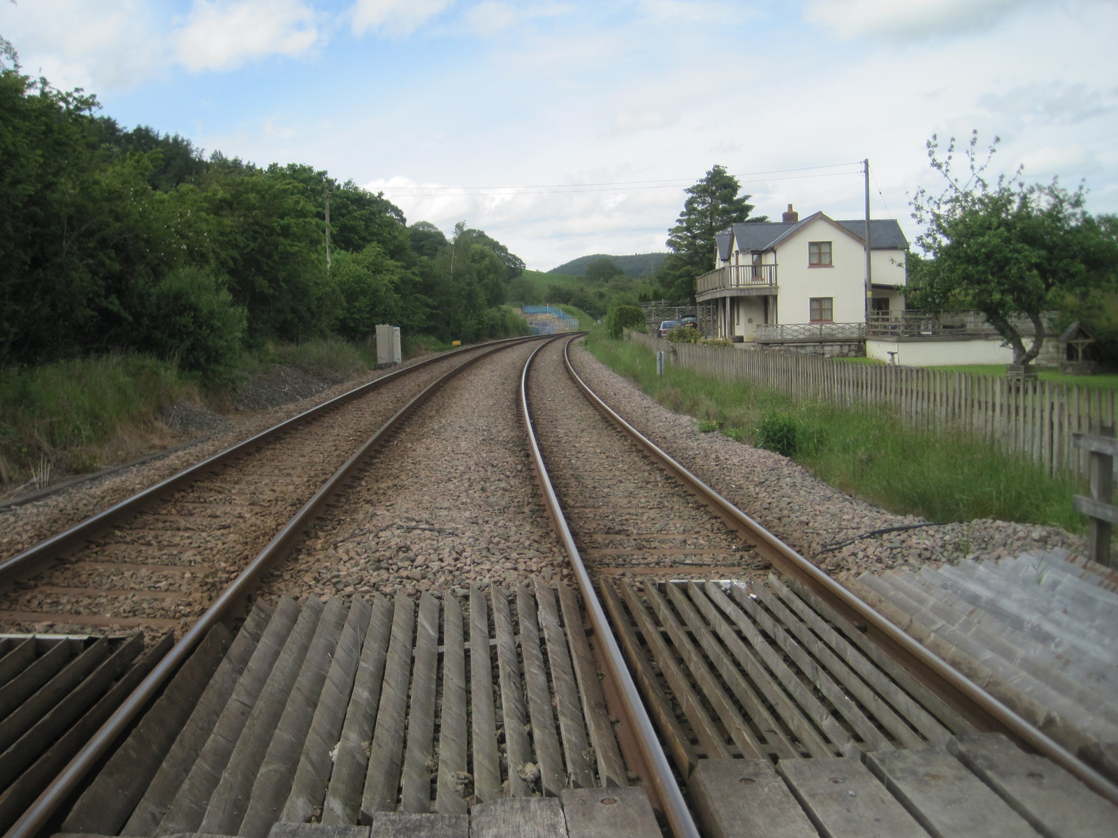
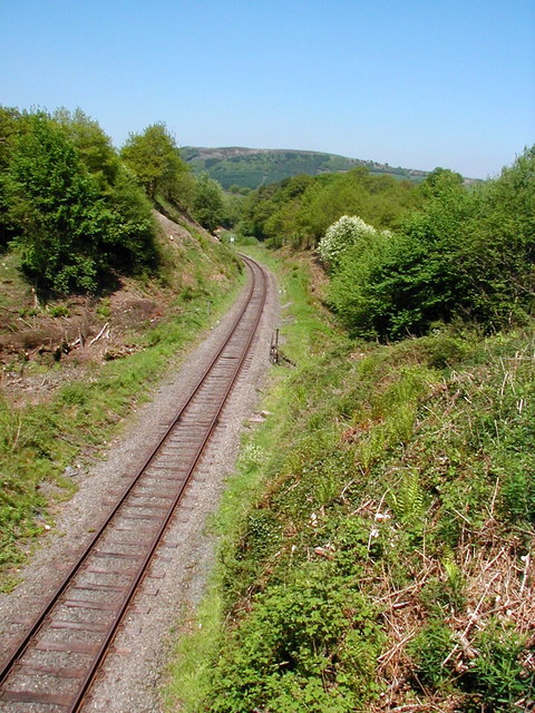
Talerddig railway station
Talerddig railway station was a station in Talerddig, Powys, Wales. The station opened in 1900 and closed on 14 June 1965, one of many on the line abandoned...

Talerddig
Talerddig is a village in Powys, mid Wales, located on the main A470 road between Llanbrynmair and Carno. It is part of Llanbrynmair community. == Talerddig... ==
Dolfach
Dolfach is a village in Powys, Wales, located on the main A470 road between Llanbrynmair and Talerddig. The village's name translates as "small meadow...
Golfa railway station
Golfa railway station is a preserved station that serves the area of Golfa, Powys, Wales, on the Welshpool and Llanfair Light Railway. == History == The...
Nearby Amenities
Located within 500m of 52.584479,-3.5841315Have you been to Allt Gau?
Leave your review of Allt Gau below (or comments, questions and feedback).