Coed Mawr
Wood, Forest in Merionethshire
Wales
Coed Mawr
Coed Mawr is a picturesque village located in the county of Merionethshire, Wales. Nestled within the beautiful Welsh countryside, Coed Mawr is renowned for its lush woodlands and breathtaking forests, earning it the Welsh name which translates to "Wood, Forest".
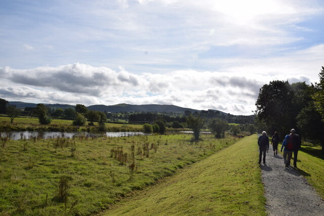
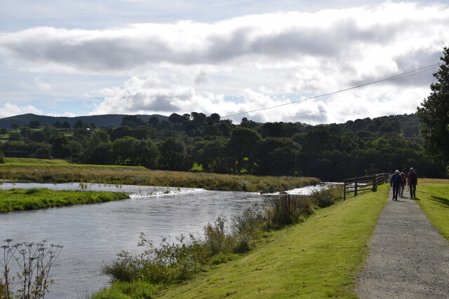
The village is situated in a valley surrounded by rolling hills, providing a stunning backdrop for the community. The woodlands that encompass Coed Mawr are teeming with a diverse range of flora and fauna, making it an ideal destination for nature enthusiasts and hikers. The dense forest provides a tranquil environment, perfect for those seeking solace in nature's embrace.
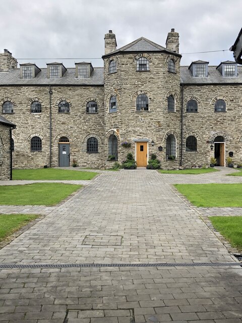
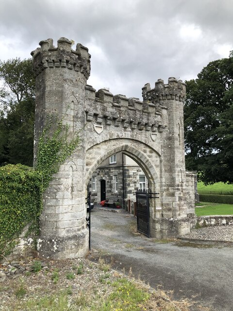
Coed Mawr's charm extends beyond its natural beauty. The village itself is home to a tight-knit community that takes immense pride in preserving the area's heritage. Traditional Welsh architecture can be seen in the stone cottages that dot the landscape, adding to the village's rustic charm.
The community in Coed Mawr is known for its warm and welcoming nature, making visitors feel right at home. The village boasts a range of amenities, including quaint tea rooms, local pubs, and charming bed and breakfast establishments. These provide a comfortable respite for tourists looking to immerse themselves in the village's serene ambiance.
Coed Mawr is a hidden gem in Merionethshire, offering visitors a chance to escape the hustle and bustle of modern life and indulge in the tranquility of nature. Whether it's exploring the enchanting woodlands, immersing oneself in the local culture, or simply enjoying the stunning vistas, Coed Mawr is a destination that captivates the hearts of all who visit.
If you have any feedback on the listing, please let us know in the comments section below.
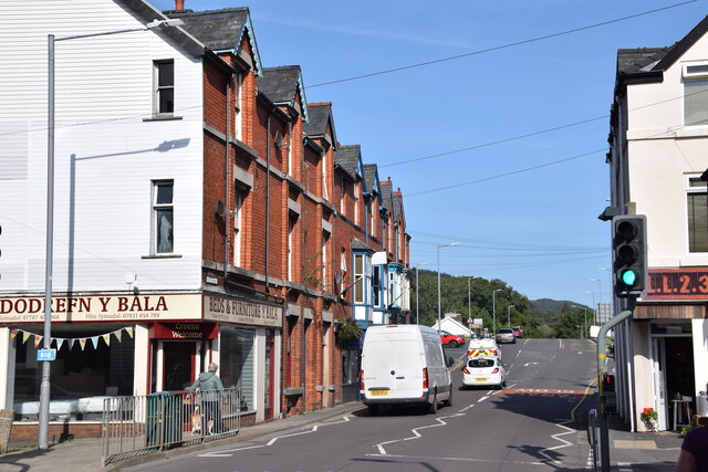
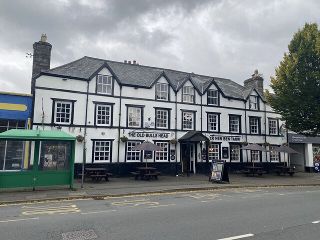
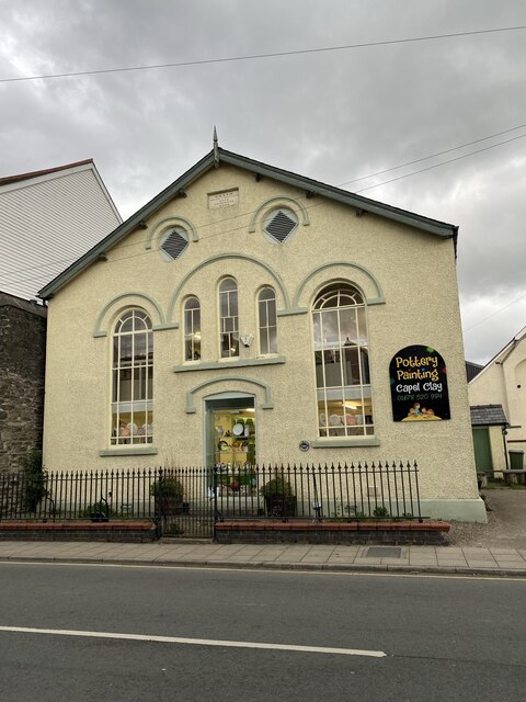
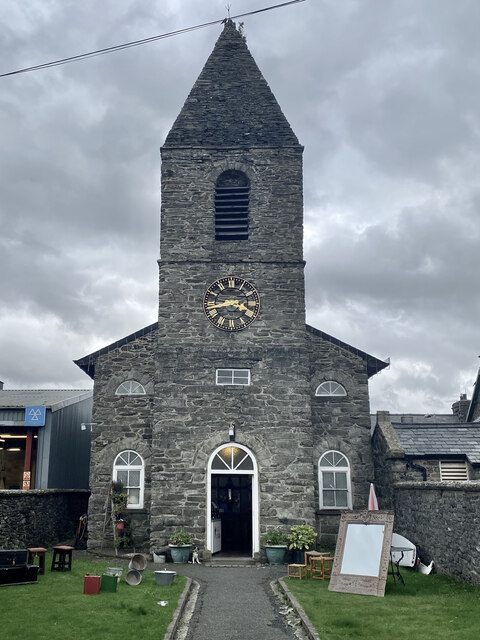
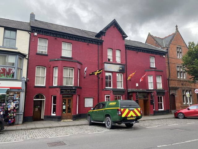
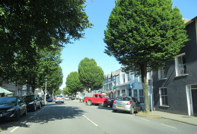
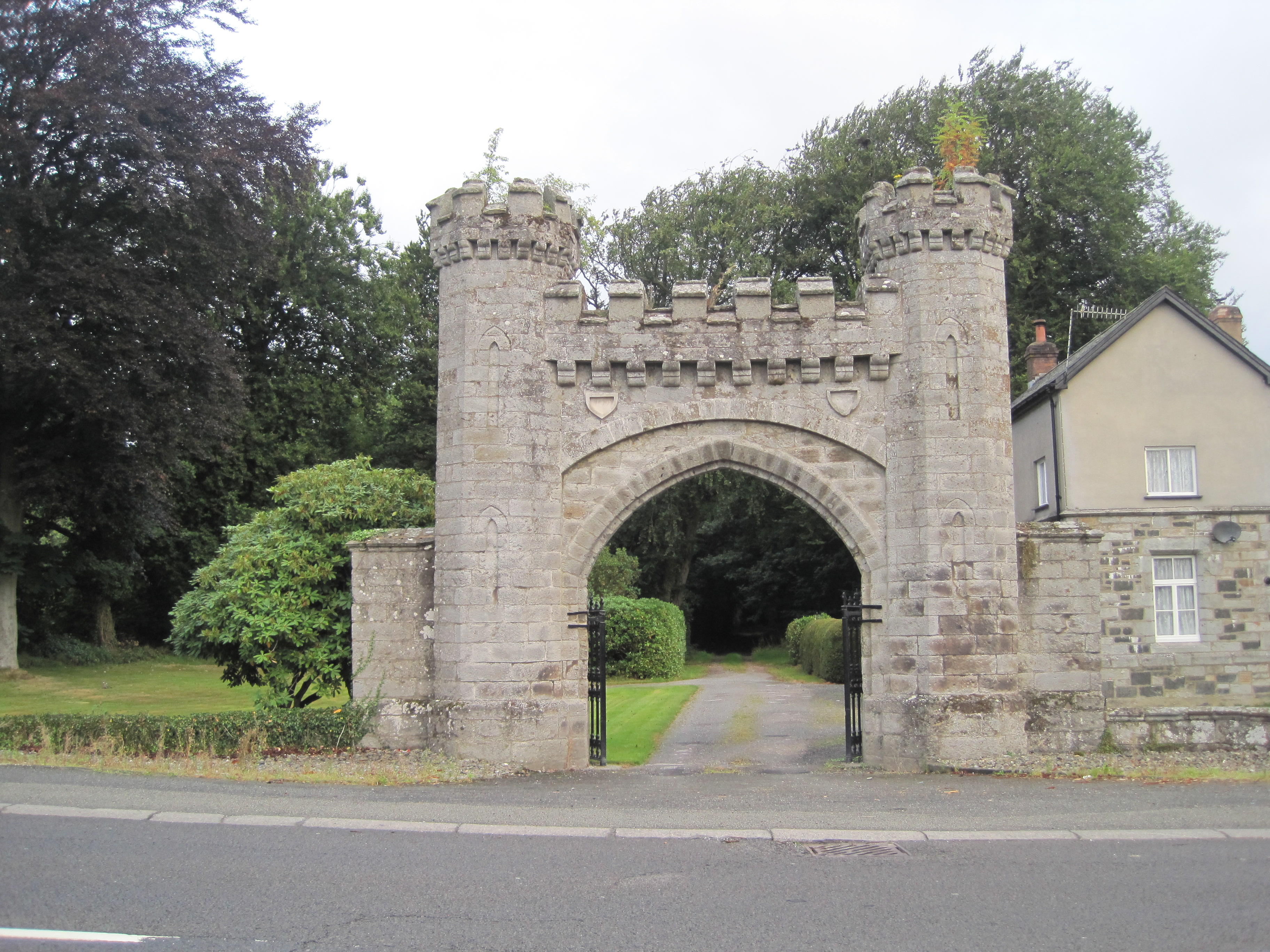
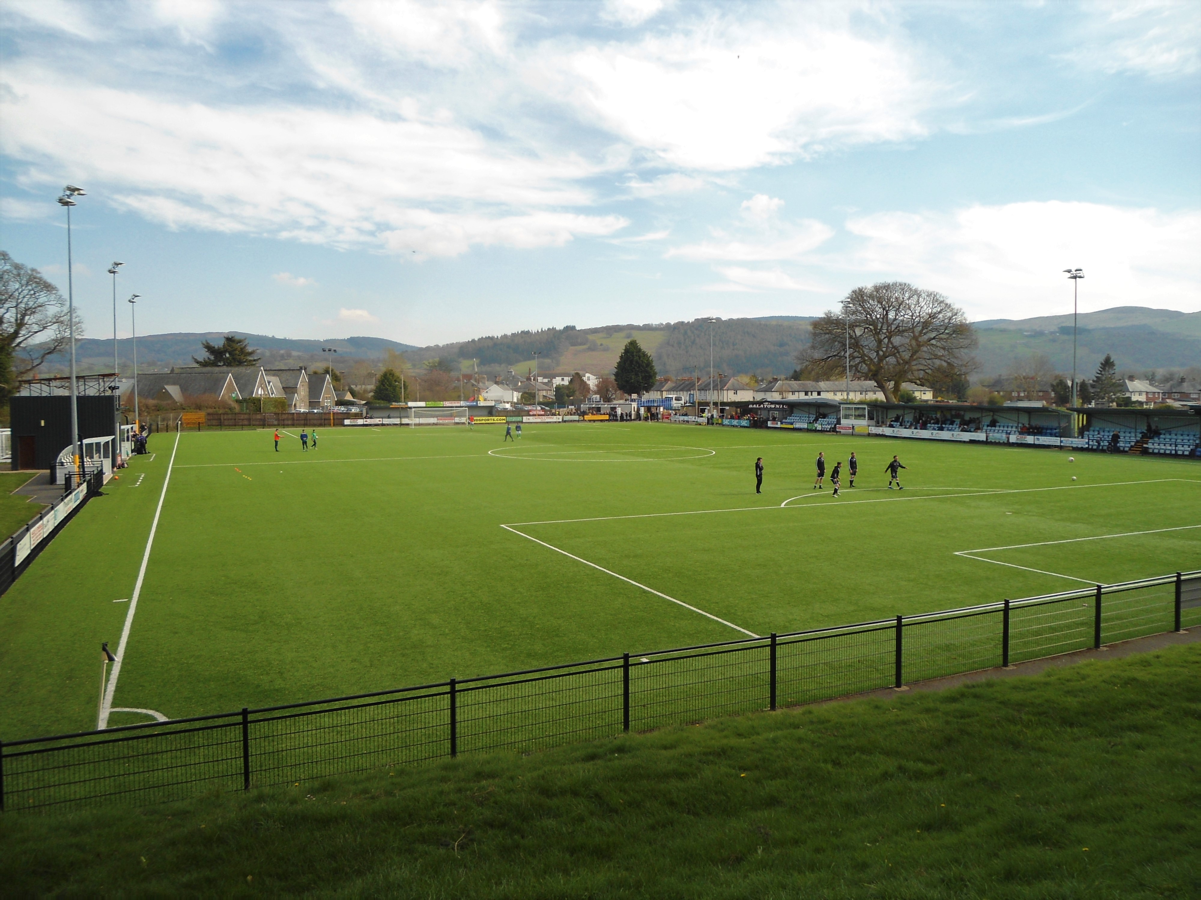
Coed Mawr Images
Images are sourced within 2km of 52.921332/-3.6056402 or Grid Reference SH9237. Thanks to Geograph Open Source API. All images are credited.


Coed Mawr is located at Grid Ref: SH9237 (Lat: 52.921332, Lng: -3.6056402)
Unitary Authority: Gwynedd
Police Authority: North Wales
What 3 Words
///onto.verbs.delusions. Near Bala, Gwynedd
Nearby Locations
Related Wikis
Rhiwlas, Llandderfel
Rhiwlas is an estate about 1 km (0.62 mi) to the north of the town of Bala, Wales. It has been in the possession of the Price family for over four centuries...

Llanuwchllyn F.C.
Llanuwchllyn Football Club (Welsh: Clwb Pêl Droed Llanuwchllyn) is a Welsh football team based near Bala in Wales. They play in the Ardal Leagues North...
Maes Tegid
Maes Tegid (English: Tegid Field) is a community playing field in Bala, Wales. It is currently used mostly for football matches, and is the home ground...
Ysgol y Berwyn
Ysgol y Berwyn is a high-school situated in the town of Bala, in Gwynedd, north Wales.According to the 2013 Estyn report, 79% of pupils are from Welsh...

Christ Church, Bala
Christ Church, Bala, is in Bala, Gwynedd, Wales (grid reference SH926362). It is an active Anglican church in the deanery of Penllyn & Edeyrnion, the...
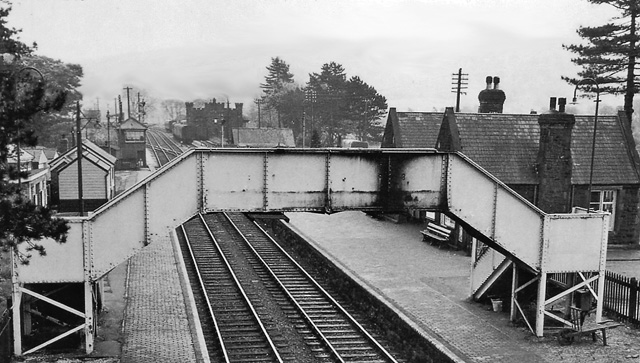
Bala (New) railway station
Bala railway station was on the Great Western Railway's Bala Ffestiniog Line in Wales. It replaced the first Bala station which was further away from the...

Bala Town Hall
Bala Town Hall (Welsh: Neuadd y Dref Y Bala), known in the late 19th century as the County Hall (Welsh: Neuadd y Sir Y Bala), is a municipal building in...

Bala, Gwynedd
Bala (Welsh: Y Bala) is a town and community in Gwynedd, Wales. Formerly an urban district, Bala lies in the historic county of Merionethshire, at the...
Nearby Amenities
Located within 500m of 52.921332,-3.6056402Have you been to Coed Mawr?
Leave your review of Coed Mawr below (or comments, questions and feedback).