Coed Gleision
Wood, Forest in Merionethshire
Wales
Coed Gleision
Coed Gleision, located in Merionethshire, is a picturesque wood or forest that boasts natural beauty and tranquility. Spread across a vast area, it is a popular destination for nature lovers, hikers, and photographers alike.
Coed Gleision is known for its diverse range of flora and fauna. The wood is home to a variety of tree species, including oak, beech, and pine, which provide a lush canopy overhead. The forest floor is adorned with a vibrant carpet of wildflowers, ferns, and mosses, creating a captivating and enchanting atmosphere.
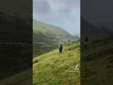
The wood is intersected by a network of well-maintained walking paths, allowing visitors to explore its hidden corners and discover its hidden treasures. These paths offer stunning views of the surrounding countryside, with rolling hills and distant mountains creating a breathtaking backdrop.
Wildlife is abundant in Coed Gleision. Birdwatchers can spot a plethora of species, including woodpeckers, owls, and nuthatches. Squirrels playfully scamper through the branches, while deer can occasionally be seen grazing in the clearings.
Coed Gleision is not only a haven for nature enthusiasts, but also serves as an important conservation area. Efforts are made to preserve and protect the wood's delicate ecosystem, ensuring its continued existence for future generations to enjoy.
In conclusion, Coed Gleision in Merionethshire is a captivating wood filled with natural beauty, diverse wildlife, and stunning vistas. Whether seeking a peaceful stroll, a thrilling hike, or a chance to connect with nature, this forest offers an idyllic escape from the hustle and bustle of everyday life.
If you have any feedback on the listing, please let us know in the comments section below.
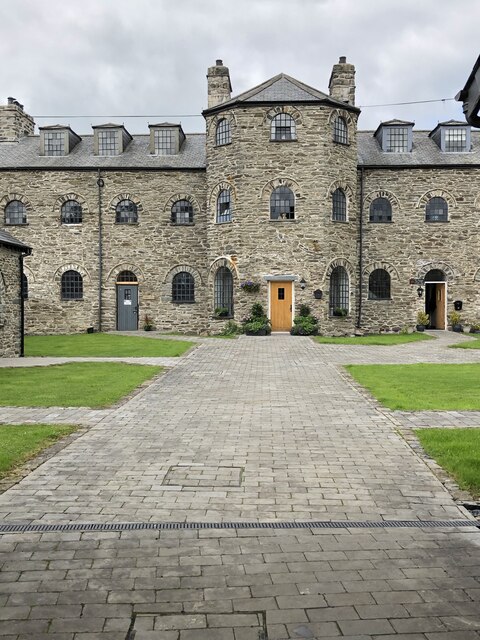
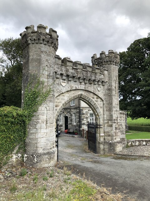
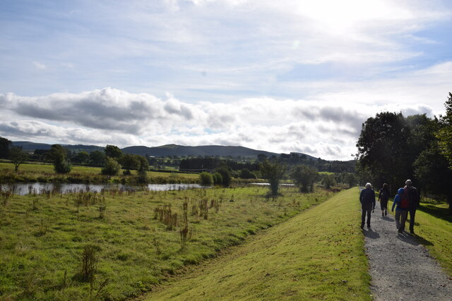
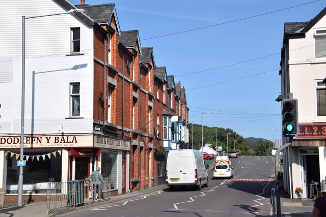
Coed Gleision Images
Images are sourced within 2km of 52.924071/-3.6065151 or Grid Reference SH9237. Thanks to Geograph Open Source API. All images are credited.


Coed Gleision is located at Grid Ref: SH9237 (Lat: 52.924071, Lng: -3.6065151)
Unitary Authority: Gwynedd
Police Authority: North Wales
What 3 Words
///brotherly.transfers.outline. Near Bala, Gwynedd
Nearby Locations
Related Wikis
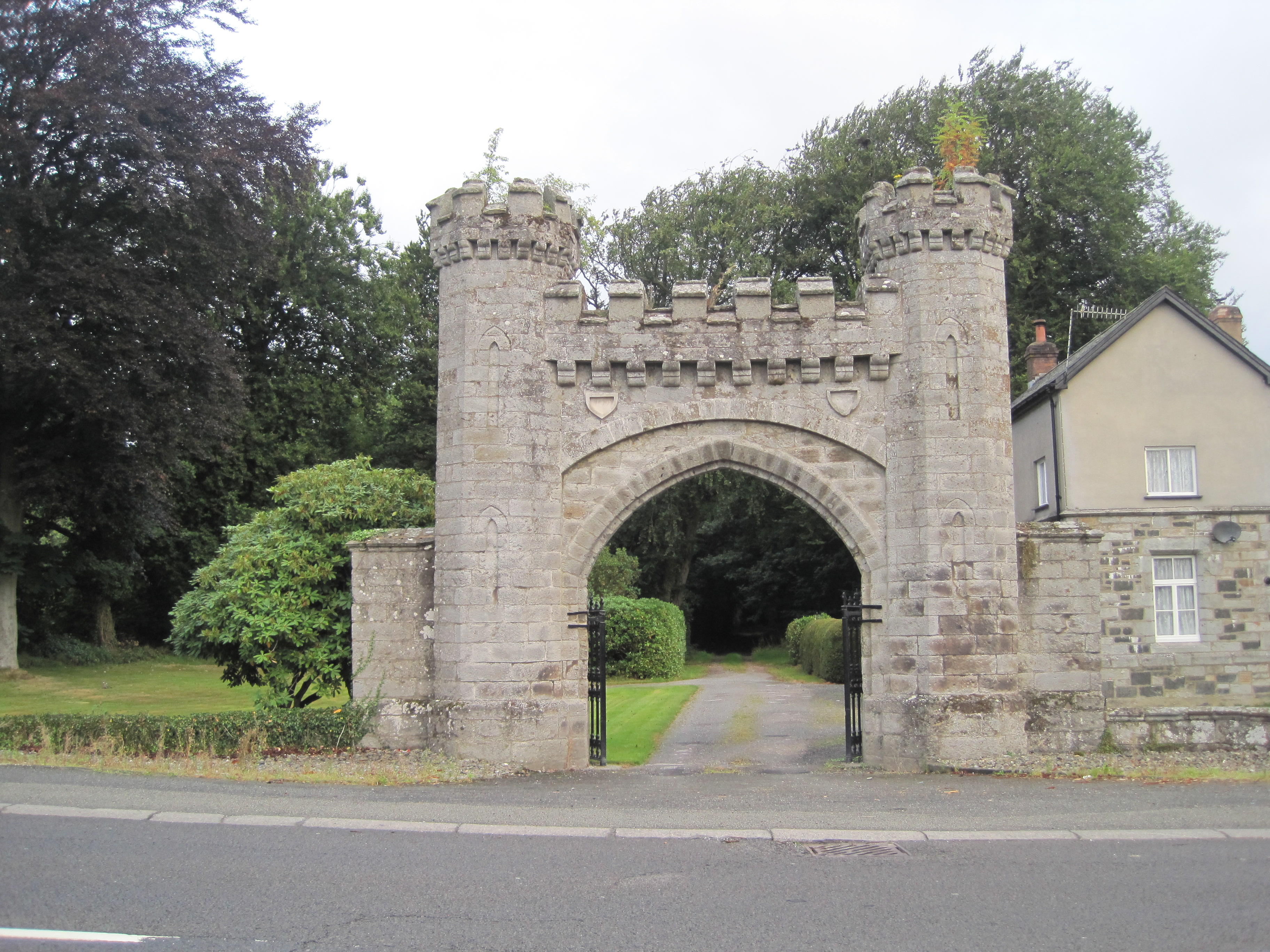
Rhiwlas, Llandderfel
Rhiwlas is an estate about 1 km (0.62 mi) to the north of the town of Bala, Wales. It has been in the possession of the Price family for over four centuries...

Llanuwchllyn F.C.
Llanuwchllyn Football Club (Welsh: Clwb Pêl Droed Llanuwchllyn) is a Welsh football team based near Bala in Wales. They play in the Ardal Leagues North...
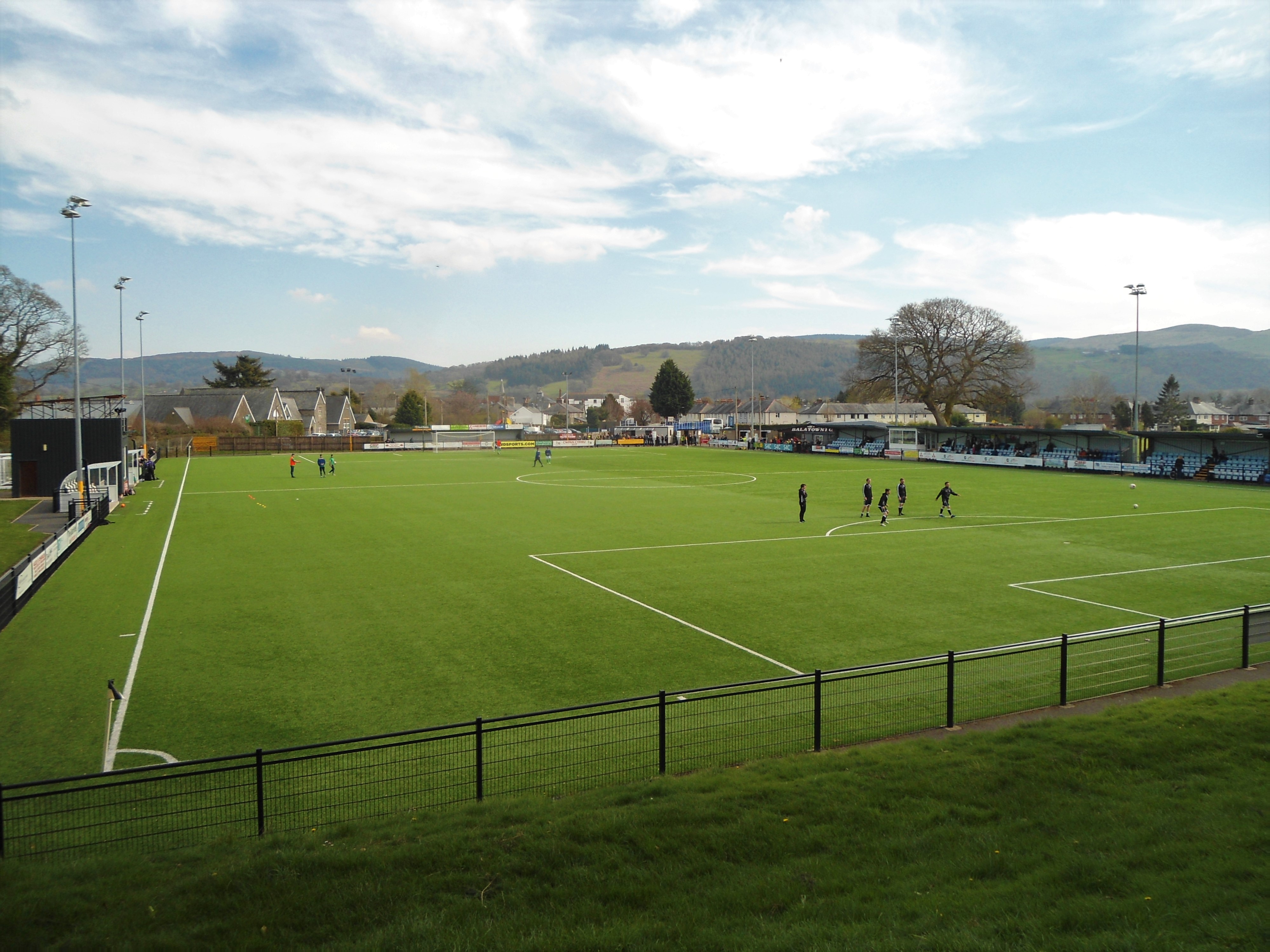
Maes Tegid
Maes Tegid (English: Tegid Field) is a community playing field in Bala, Wales. It is currently used mostly for football matches, and is the home ground...
Ysgol y Berwyn
Ysgol y Berwyn is a high-school situated in the town of Bala, in Gwynedd, north Wales.According to the 2013 Estyn report, 79% of pupils are from Welsh...

Christ Church, Bala
Christ Church, Bala, is in Bala, Gwynedd, Wales (grid reference SH926362). It is an active Anglican church in the deanery of Penllyn & Edeyrnion, the...
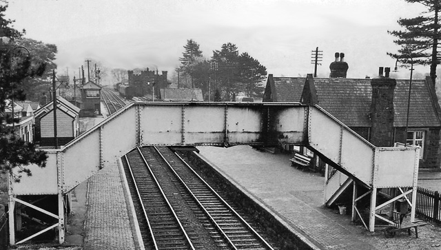
Bala (New) railway station
Bala railway station was on the Great Western Railway's Bala Ffestiniog Line in Wales. It replaced the first Bala station which was further away from the...

Bala Town Hall
Bala Town Hall (Welsh: Neuadd y Dref Y Bala), known in the late 19th century as the County Hall (Welsh: Neuadd y Sir Y Bala), is a municipal building in...

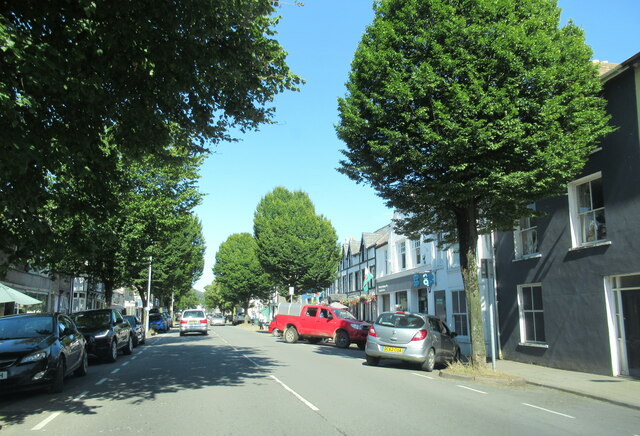
Bala, Gwynedd
Bala (Welsh: Y Bala) is a town and community in Gwynedd, Wales. Formerly an urban district, Bala lies in the historic county of Merionethshire, at the...
Related Videos

Nearby Amenities
Located within 500m of 52.924071,-3.6065151Have you been to Coed Gleision?
Leave your review of Coed Gleision below (or comments, questions and feedback).