Busbridge
Settlement in Surrey Waverley
England
Busbridge
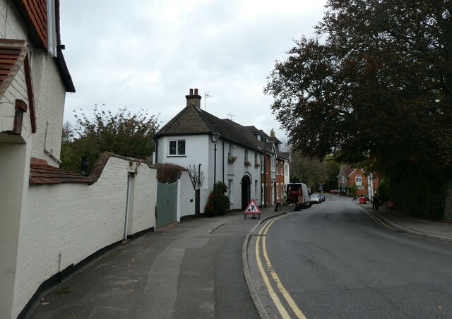
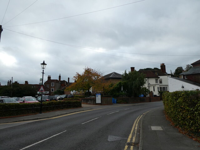
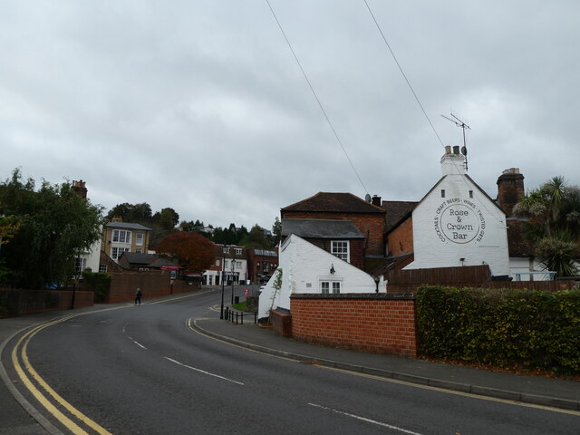
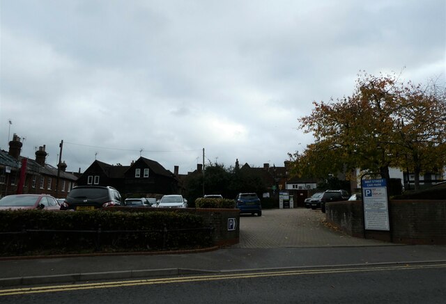
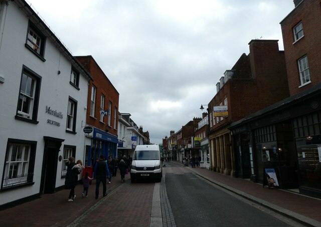
Busbridge is a small village located in the district of Waverley in Surrey, England. Situated approximately 3 miles south of the town of Godalming, Busbridge is known for its picturesque countryside and charming rural atmosphere.
The village is surrounded by lush green fields and rolling hills, providing a tranquil setting for residents and visitors alike. It is home to a tight-knit community, with a population of around 1,500 people. The village is well-connected to the nearby towns and cities, with good transport links including bus services and a nearby train station.
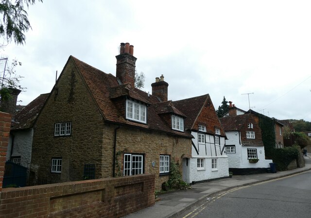
One of the key features of Busbridge is its historic buildings, including the beautiful St. John's Church, which dates back to the 19th century. The church is a prominent landmark in the village and attracts visitors for its stunning architecture and peaceful atmosphere.
In terms of amenities, Busbridge offers a range of facilities to cater to the needs of its residents. These include a local school, a post office, a village hall, and a few shops and cafes. The village is also surrounded by numerous walking and cycling trails, making it an ideal location for outdoor enthusiasts.
Overall, Busbridge is a quintessential English village that offers a peaceful and idyllic lifestyle. Its beautiful countryside, historic buildings, and close-knit community make it an attractive place to live or visit for those seeking a quieter and more rural setting.
If you have any feedback on the listing, please let us know in the comments section below.
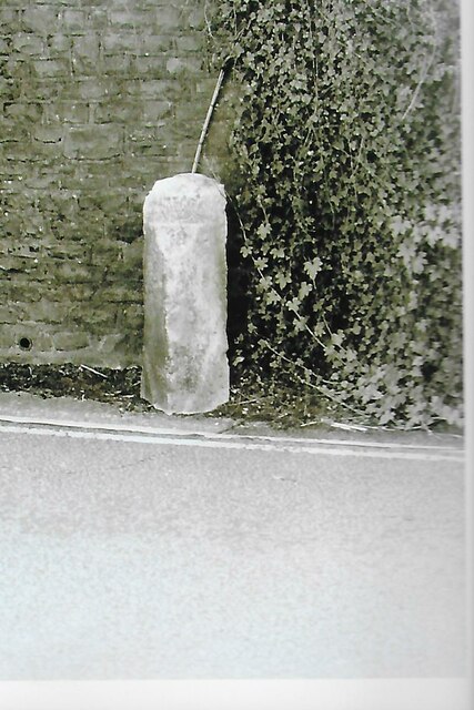
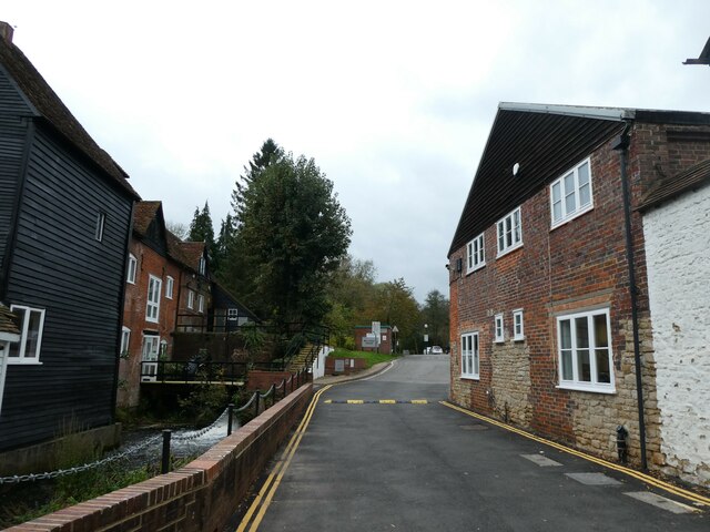
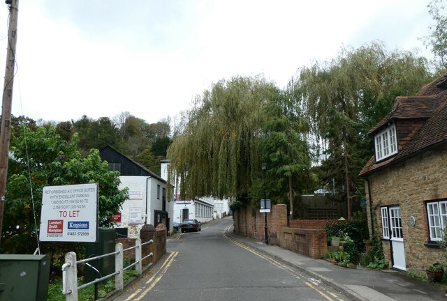
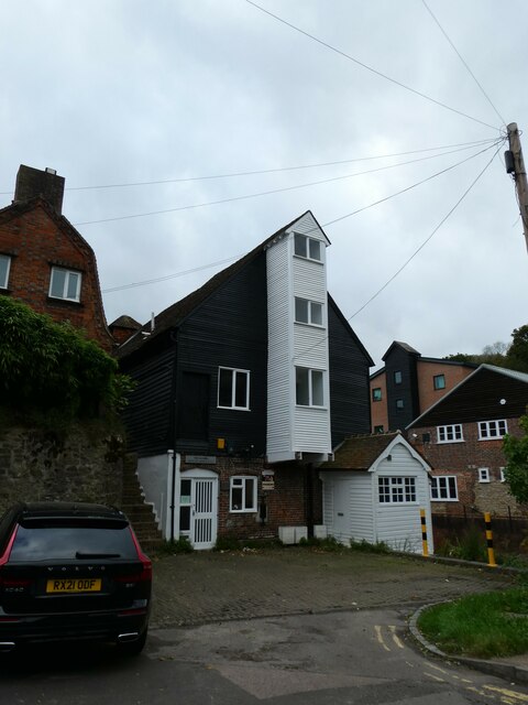
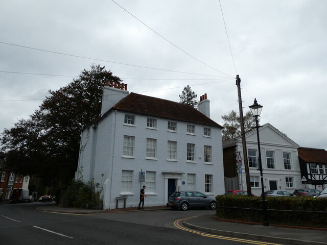
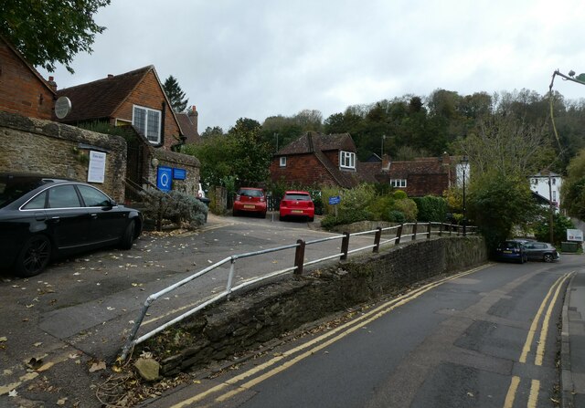
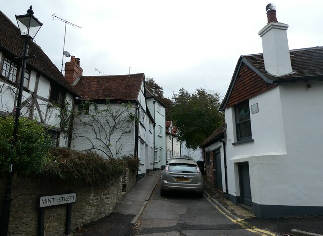
Busbridge Images
Images are sourced within 2km of 51.177651/-0.60228 or Grid Reference SU9742. Thanks to Geograph Open Source API. All images are credited.

Busbridge is located at Grid Ref: SU9742 (Lat: 51.177651, Lng: -0.60228)
Administrative County: Surrey
District: Waverley
Police Authority: Surrey
What 3 Words
///rich.remit.answer. Near Godalming, Surrey
Nearby Locations
Related Wikis
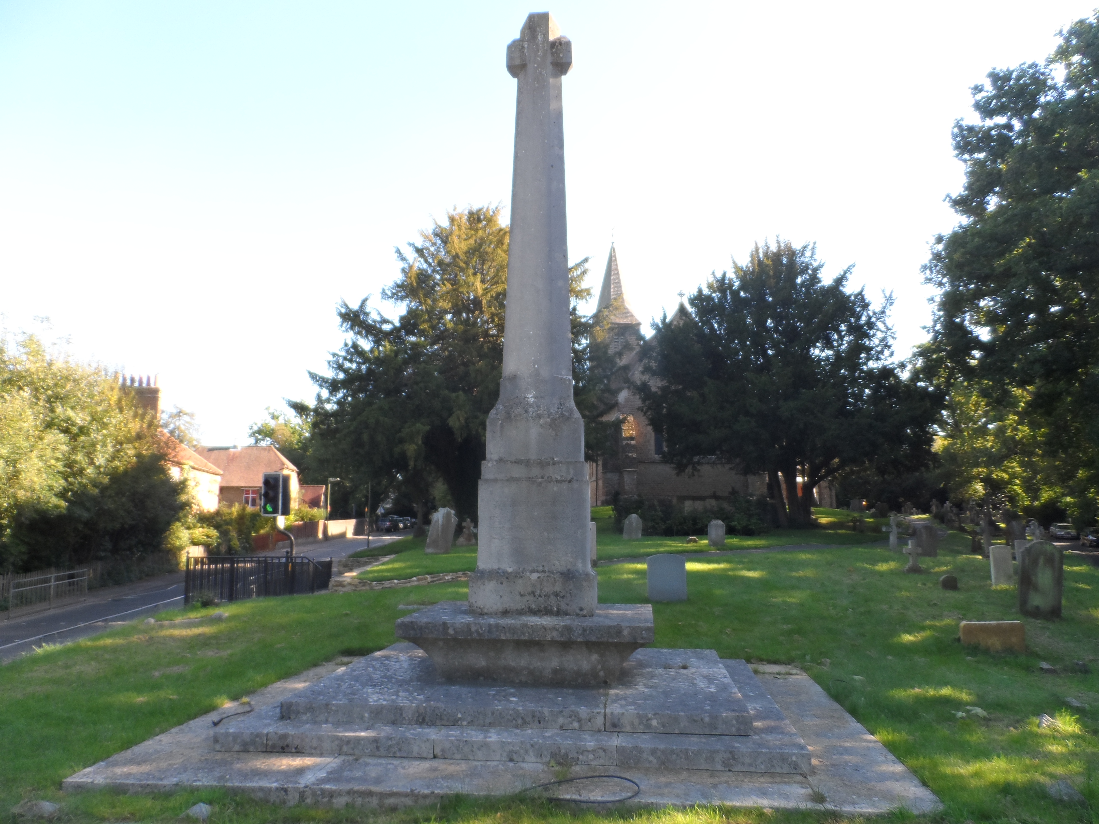
Busbridge War Memorial
Busbridge War Memorial is a First World War memorial in the churchyard of St John's Church in village of Busbridge in Surrey, south-eastern England. Designed...

Busbridge Church
Busbridge Church or St John the Baptist Church, is an evangelical Anglican Church in Busbridge, Godalming, England. Busbridge Church is part of a joint...

Jekyll Memorial, Busbridge
The Jekyll Memorial, Busbridge, Surrey, England, commemorates the gardener Gertrude Jekyll and members of her family. Designed by Jekyll's friend and collaborator...

Busbridge
Busbridge is a village and civil parish in the borough of Waverley in Surrey, England that adjoins the town of Godalming. It forms part of the Waverley...

Munstead Wood
Munstead Wood is a Grade I listed house and garden in Munstead Heath, Busbridge on the boundary of the town of Godalming in Surrey, England, 1 mile (1...

Godalming College
Godalming College is a sixth form college, situated in Godalming, 31 miles (50 km) south-west of London and five miles from Guildford, Surrey. The college...

St Edmund Church, Godalming
St Edmund's Church (in full, The Church of St Edmund King and Martyr) is the Roman Catholic parish church of Godalming, a town in the English county of...

Godalming Borough Hall
Godalming Borough Hall is a municipal building in Bridge Street in Godalming, England. The building is the meeting place of Godalming Town Council. �...
Nearby Amenities
Located within 500m of 51.177651,-0.60228Have you been to Busbridge?
Leave your review of Busbridge below (or comments, questions and feedback).