Coed Berth-Lâs
Wood, Forest in Montgomeryshire
Wales
Coed Berth-Lâs
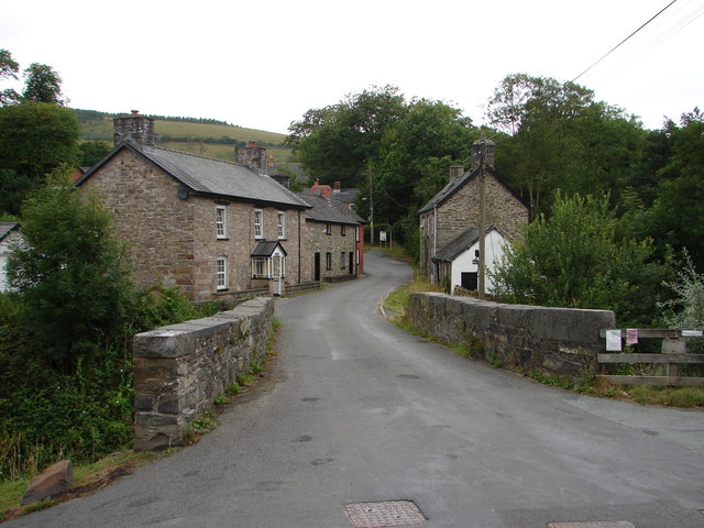
Coed Berth-Lâs is a picturesque woodland located in Montgomeryshire, Wales. Covering an area of approximately 200 acres, it is a prime example of the region's natural beauty and biodiversity. The woodland is situated near the village of Berriew and is easily accessible for nature enthusiasts and hikers.
Coed Berth-Lâs boasts a diverse range of tree species, including oak, beech, ash, and birch, among others. The lush canopy provides a tranquil and serene atmosphere for visitors to immerse themselves in nature. The forest floor is adorned with a rich variety of wildflowers, ferns, and mosses, creating a vibrant and colorful undergrowth.
The woodland is home to a plethora of wildlife, making it a haven for animal lovers and birdwatchers. Visitors may catch a glimpse of red squirrels, badgers, foxes, and a variety of bird species such as woodpeckers, owls, and various songbirds.
Several well-marked trails traverse Coed Berth-Lâs, offering visitors the opportunity to explore the woodland at their own pace. These paths provide stunning views of the surrounding landscape, including the nearby River Rhiw and the rolling hills of Montgomeryshire.
Nature conservation efforts have been undertaken in Coed Berth-Lâs to protect and preserve its unique ecosystem. The woodland serves as an important habitat for both resident and migratory species, contributing to the overall biodiversity of the region.
Overall, Coed Berth-Lâs is a captivating woodland that offers visitors a chance to connect with nature, witness its beauty, and appreciate the importance of conservation.
If you have any feedback on the listing, please let us know in the comments section below.
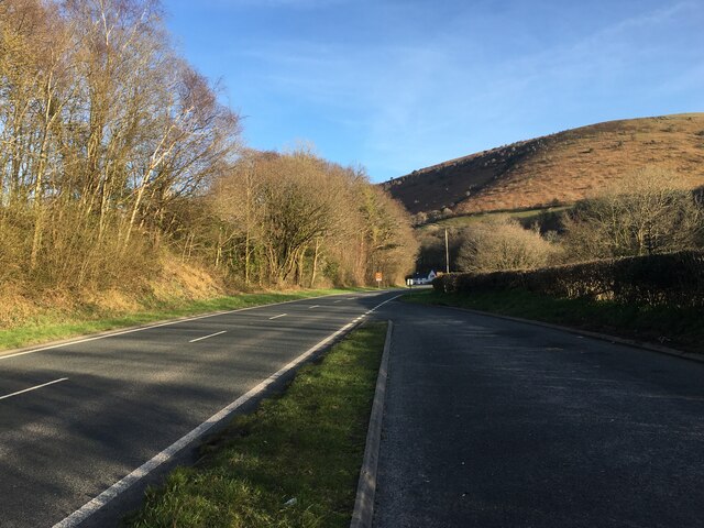
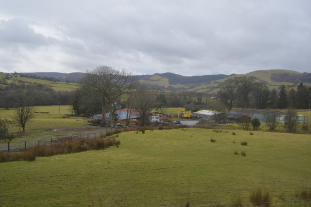
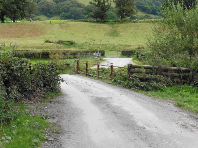
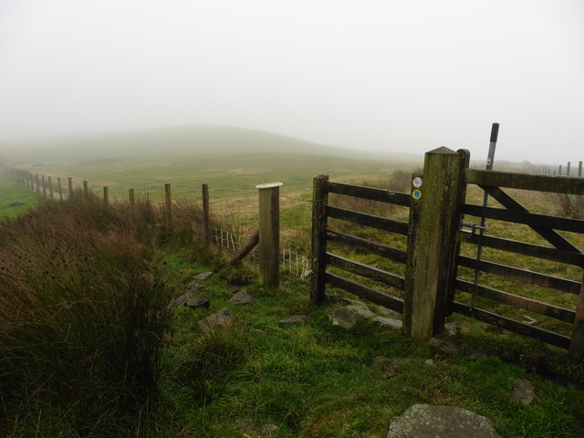
Coed Berth-Lâs Images
Images are sourced within 2km of 52.614972/-3.6097075 or Grid Reference SH9103. Thanks to Geograph Open Source API. All images are credited.


Coed Berth-Lâs is located at Grid Ref: SH9103 (Lat: 52.614972, Lng: -3.6097075)
Unitary Authority: Powys
Police Authority: Dyfed Powys
What 3 Words
///escalates.pegged.fees. Near Cwm-Llinau, Powys
Nearby Locations
Related Wikis

Llanbrynmair
Llanbrynmair or Llanbryn-mair () is a village, community and electoral ward in Montgomeryshire, Powys, on the A470 road between Caersws and Machynlleth...

Llanbrynmair railway station
Llanbrynmair railway station was a railway station on the Newtown and Machynlleth Railway (N&MR) in Mid-Wales, serving the village of Llanbrynmair. After...

Dolfach
Dolfach is a village in Powys, Wales, located on the main A470 road between Llanbrynmair and Talerddig. The village's name translates as "small meadow...

Pandy, Powys
Pandy is a small village in Powys, Wales located off the main A470 road near Llanbrynmair.
Domen Fawr, Tafolwern
Domen Fawr, or Tafolwern Castle was a motte-and-bailey castle of the Middle Ages. It is situated in Tafolwern, near Llanbrynmair in Powys. It is registered...

Llan, Powys
Llan is a village in Powys, Wales, located on the B4518 road to Llanidloes, 1.5 miles (2.4 km) from Llanbrynmair. The parish church of St Mary is located...
Talerddig
Talerddig is a village in Powys, mid Wales, located on the main A470 road between Llanbrynmair and Carno. It is part of Llanbrynmair community. == Talerddig... ==
Bont Dolgadfan
Bont Dolgadfan is a small village off the B4518 road in Powys, Wales. It is part of the community of Llanbrynmair and forms a community ward for elections...
Have you been to Coed Berth-Lâs?
Leave your review of Coed Berth-Lâs below (or comments, questions and feedback).