Coed Pant-yr-onen
Wood, Forest in Merionethshire
Wales
Coed Pant-yr-onen

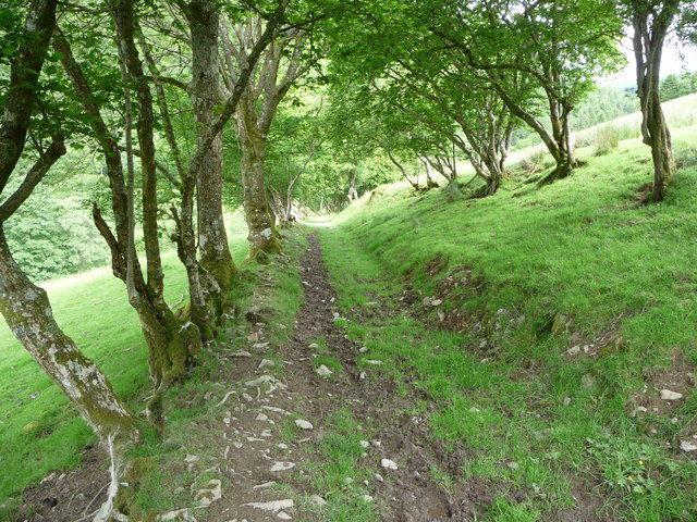
Coed Pant-yr-onen is a picturesque woodland area located in Merionethshire, Wales. This enchanting forest is nestled in the heart of the countryside, surrounded by rolling hills and meandering streams. It covers a vast expanse of approximately 200 acres, making it a haven for nature enthusiasts and adventurers alike.
The woodland is primarily composed of native tree species, including oak, beech, and birch, which create a lush and vibrant canopy. The dense undergrowth is home to a diverse range of flora and fauna, with bluebells, wild garlic, and ferns adding to the natural beauty of the area. Birdsong fills the air, as various species like woodpeckers, owls, and thrushes find sanctuary in the forest.
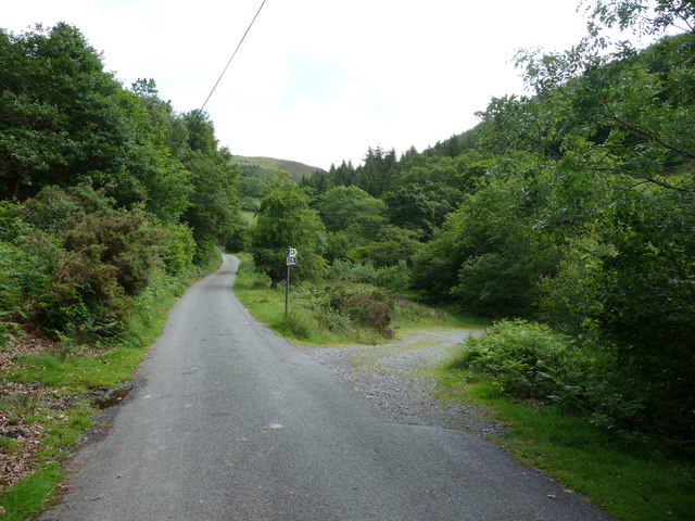
Coed Pant-yr-onen is crisscrossed by a network of well-maintained trails, allowing visitors to explore its hidden treasures. Hikers can wander through the woods, following paths that lead to breathtaking viewpoints and babbling brooks. Along the way, there are picnic areas and benches, providing the perfect opportunity to take a break and immerse oneself in the peaceful surroundings.
The woodland also offers various recreational activities, such as mountain biking and horseback riding, catering to outdoor enthusiasts of all ages. Nature lovers can participate in guided walks, where knowledgeable guides share insights into the forest's history, flora, and fauna.
Coed Pant-yr-onen is not only a natural gem but also an important conservation area. Efforts are made to protect and preserve the forest's delicate ecosystem, ensuring that future generations can enjoy its beauty and serenity. Whether seeking tranquility, adventure, or simply a connection with nature, this Merionethshire woodland is a must-visit destination.
If you have any feedback on the listing, please let us know in the comments section below.
Coed Pant-yr-onen Images
Images are sourced within 2km of 52.876661/-3.6194581 or Grid Reference SH9132. Thanks to Geograph Open Source API. All images are credited.


Coed Pant-yr-onen is located at Grid Ref: SH9132 (Lat: 52.876661, Lng: -3.6194581)
Unitary Authority: Gwynedd
Police Authority: North Wales
What 3 Words
///iceberg.matchbox.mistress. Near Llanuwchllyn, Gwynedd
Nearby Locations
Related Wikis

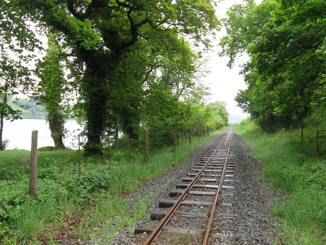
Bala Lake Railway
The Bala Lake Railway (Welsh: Rheilffordd Llyn Tegid) is a narrow-gauge railway along the southern shore of Bala Lake in Gwynedd, North Wales. The line...

Bryn Hynod Halt railway station
Bryn Hynod railway station was a railway halt on the Bala Lake Railway, in Gwynedd, Wales. Trains stopped here by request. Adjacent to Bala Lake itself...
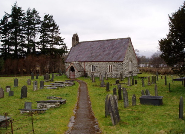
Llangywer
Llangywer (or Llangower) is a community near Bala, Gwynedd, Wales. It is in the historic county of Merionethshire, and is located on the south side of...

Llangower railway station
Llangower was a minor station opened by the GWR on the Ruabon to Barmouth line in 1929 on the southern shore of Bala Lake serving the hamlet of Llangower...

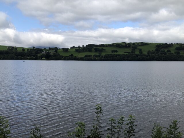
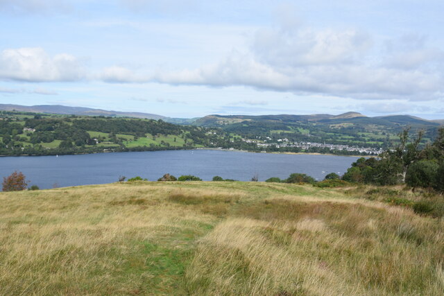
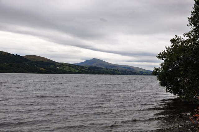
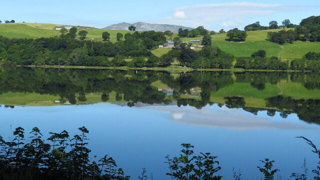
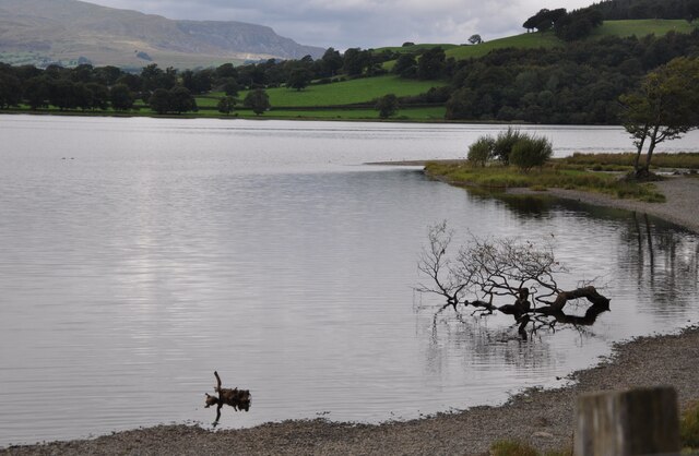
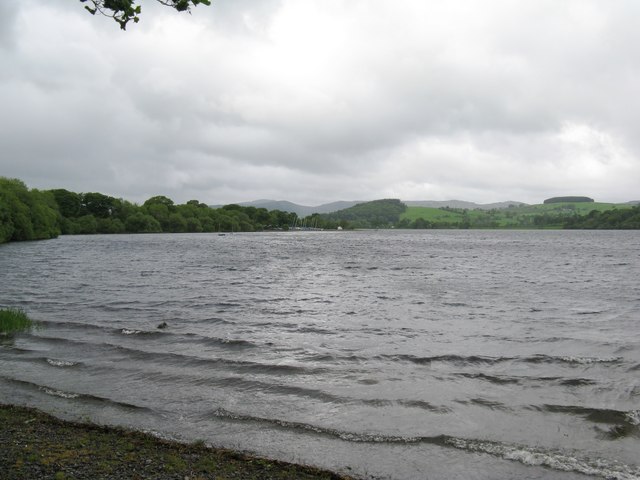
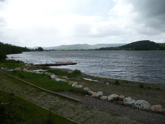
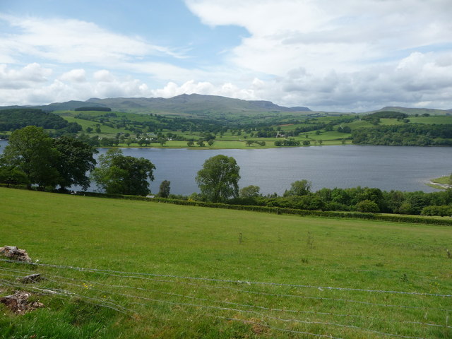
Bala Lake
Bala Lake (Welsh: Llyn Tegid [ˈɬɨ̞n ˈtɛɡɨd]) is a large freshwater glacial lake in Gwynedd, Wales. The River Dee, which has its source on the slopes of...
Glan Llyn Halt railway station
Glan Llyn Halt in Gwynedd, Wales, was a railway halt on the Ruabon to Barmouth line on the south shore of Bala Lake, and is a limited-use station on the...
Pentrepiod Halt railway station (Gwynedd)
Pentrepiod ([pɛntrəˈpiːɔd] - 'Magpie Village') railway station is a small unstaffed railway halt on the Bala Lake Railway alongside the B4403. Trains will...
Afon Llafar (Dee)
For the river which flows into the River Ogwen see Afon Llafar.The Afon Llafar is a small river in North Wales which, rising on the eastern slopes of Arenig...
Nearby Amenities
Located within 500m of 52.876661,-3.6194581Have you been to Coed Pant-yr-onen?
Leave your review of Coed Pant-yr-onen below (or comments, questions and feedback).