Bury
Settlement in Sussex Chichester
England
Bury
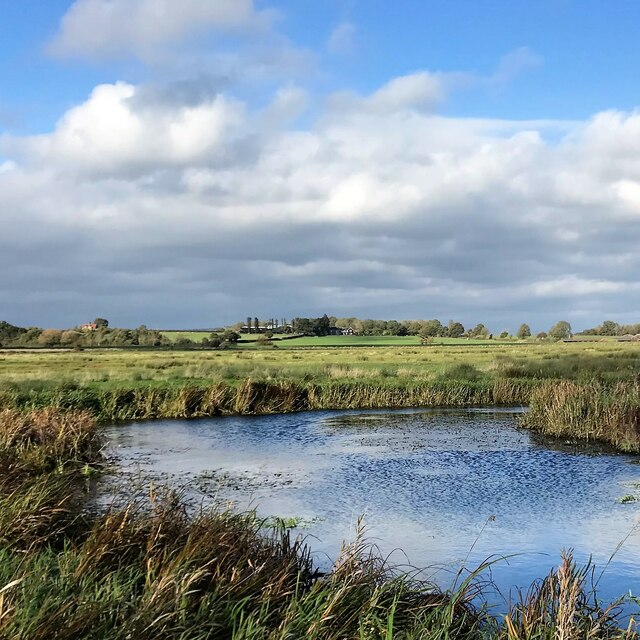
Bury is a small village located in the county of Sussex, England. Situated in the South Downs National Park, it is surrounded by beautiful rolling hills and breathtaking countryside. Bury is positioned approximately 8 miles north of the town of Arundel and lies within the Chichester district.
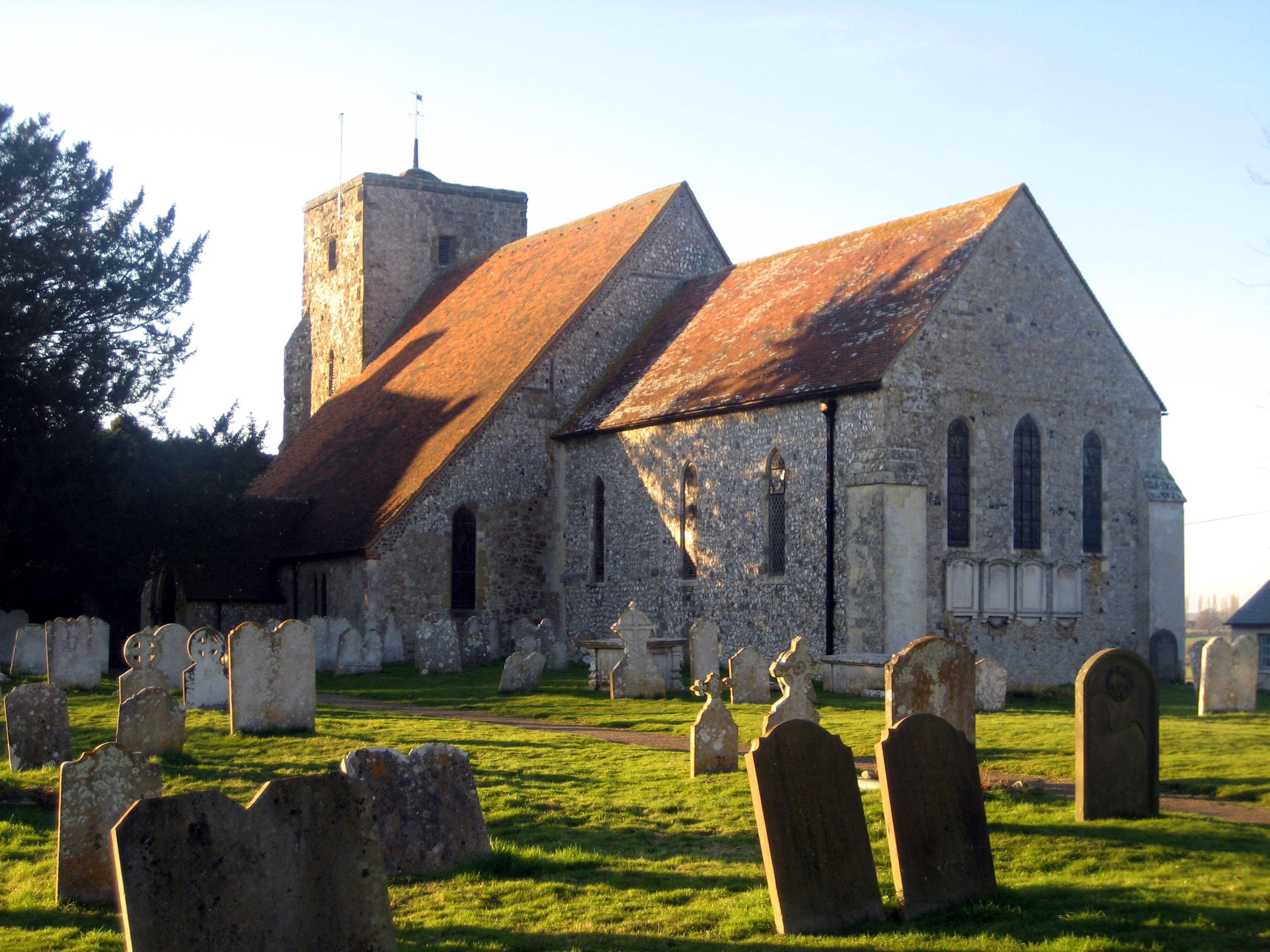
With a population of around 300 residents, Bury is a tight-knit community that offers a peaceful and tranquil environment. The village is known for its picturesque charm, with traditional thatched cottages and historic buildings dotting the landscape. The local parish church, St. John the Evangelist, is a notable architectural gem, dating back to the 12th century.
Bury's economy mainly relies on agriculture and small businesses serving the local community. The village has a few amenities, including a post office and a village hall that hosts various events and gatherings throughout the year. Residents also have access to a primary school located nearby.
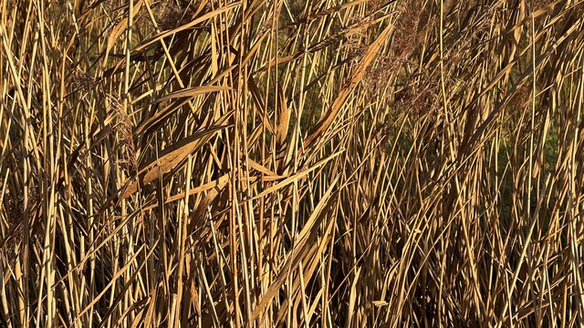
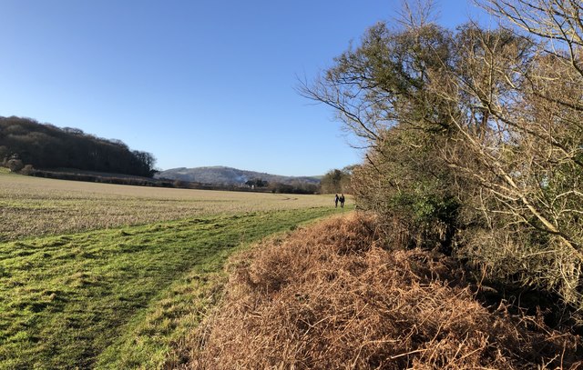
Nature enthusiasts and outdoor lovers are drawn to Bury for its scenic surroundings. The South Downs Way, a popular long-distance footpath, passes through the village, offering opportunities for hiking and exploring the stunning countryside. The area is also renowned for its rich wildlife, providing ample birdwatching and nature-spotting opportunities.
Overall, Bury is a charming and idyllic village, ideal for those seeking a peaceful retreat in the heart of the Sussex countryside.
If you have any feedback on the listing, please let us know in the comments section below.
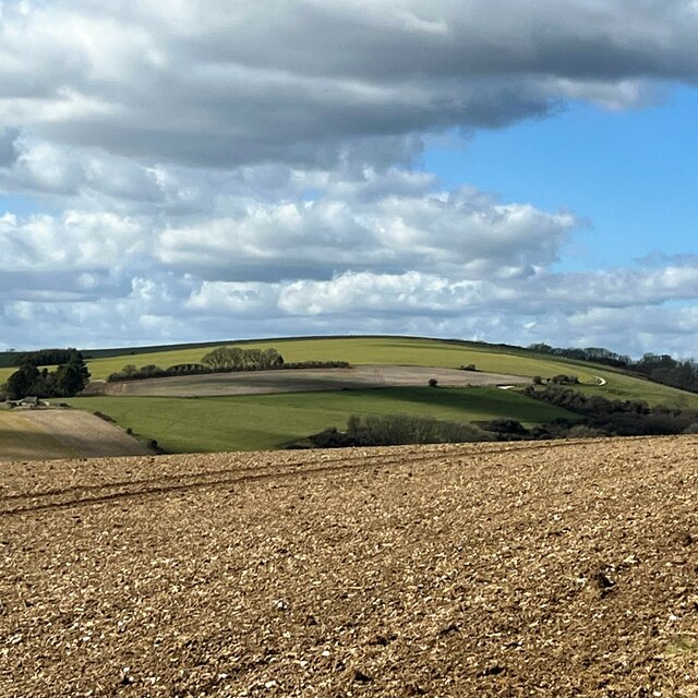
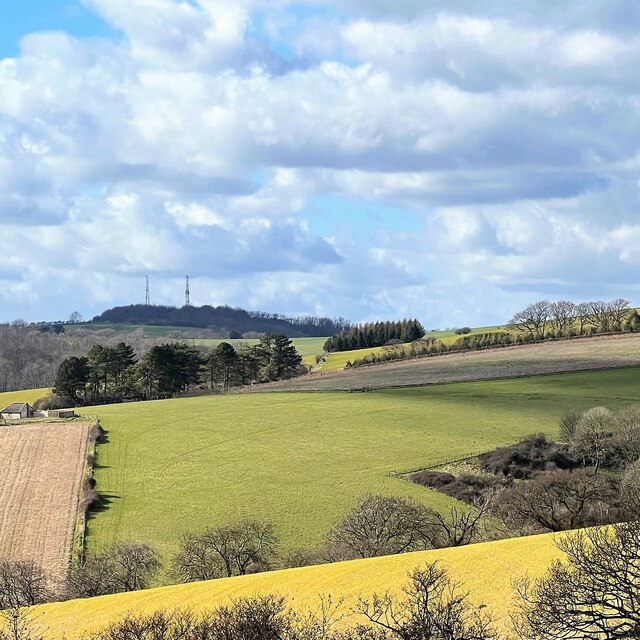
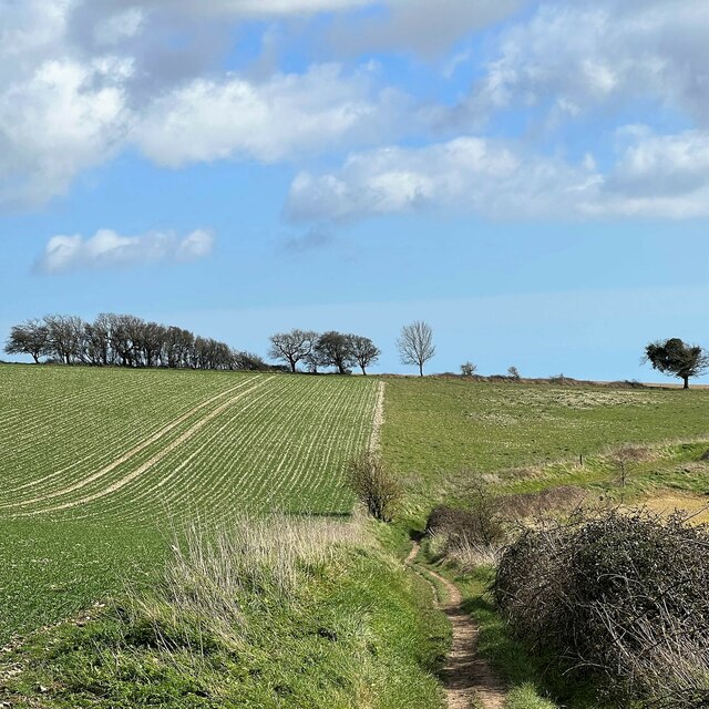
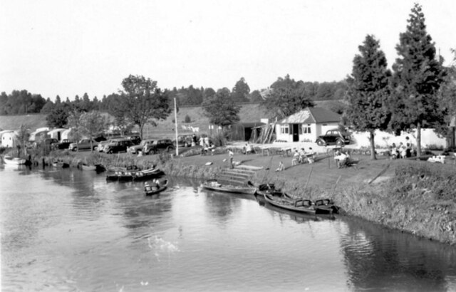
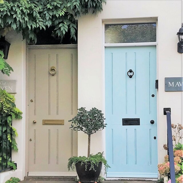
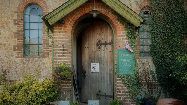
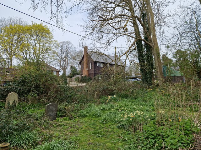
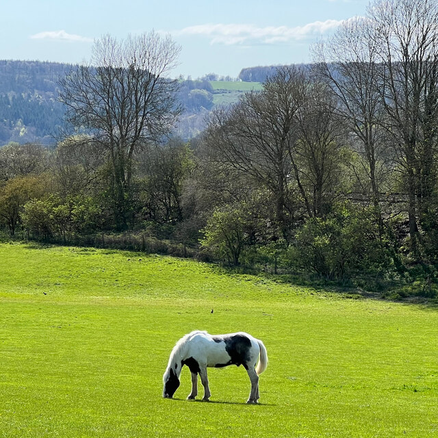
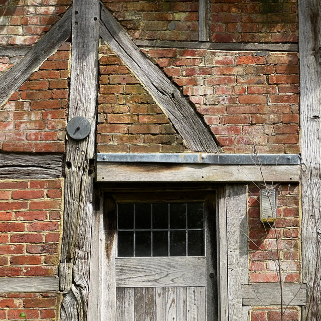
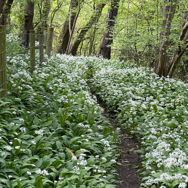
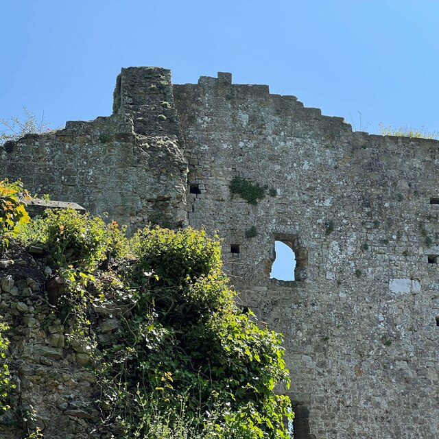
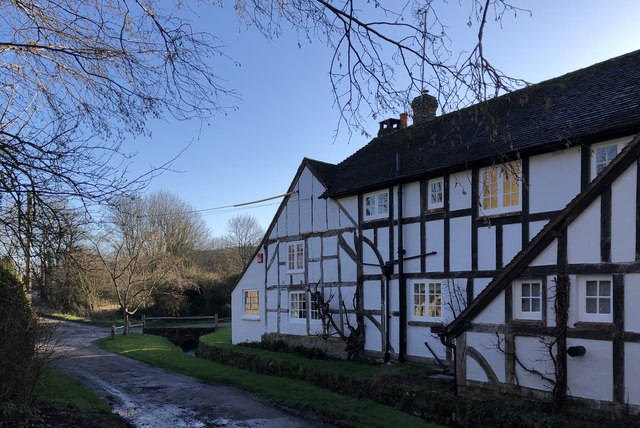
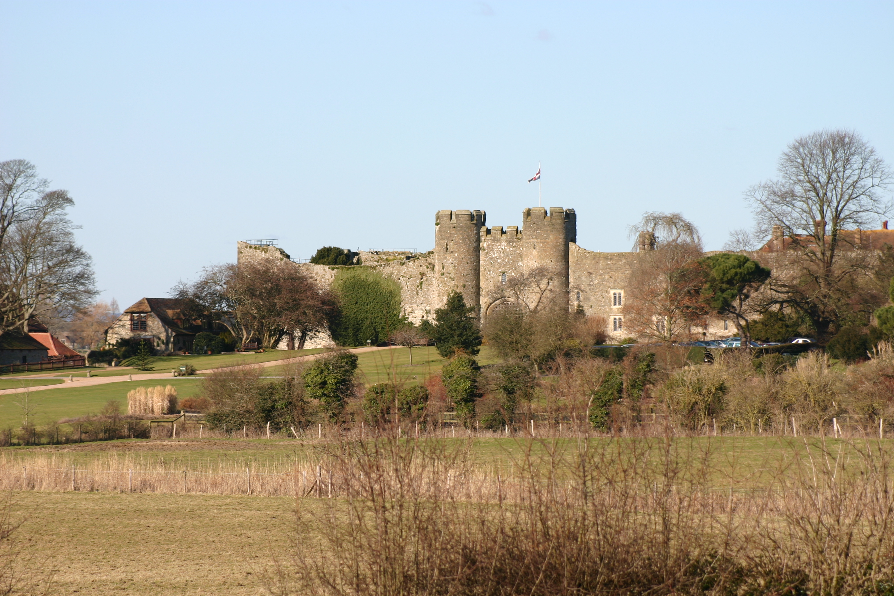
Bury Images
Images are sourced within 2km of 50.909251/-0.563267 or Grid Reference TQ0113. Thanks to Geograph Open Source API. All images are credited.


Bury is located at Grid Ref: TQ0113 (Lat: 50.909251, Lng: -0.563267)
Administrative County: West Sussex
District: Chichester
Police Authority: Sussex
What 3 Words
///negotiators.printouts.snore. Near Arundel, West Sussex
Nearby Locations
Related Wikis

Bury, West Sussex
Bury is a village and civil parish in the Chichester district of West Sussex, England. It is located on the A29 road, around 5 miles (8 km) south-west...

Dorset House School
Dorset House School is a co-educational preparatory school near Pulborough in West Sussex, England. == History == The school was founded in 1784 as Totteridge...

West Burton, West Sussex
West Burton is a small hamlet in the Parish of Bury and the Chichester district of West Sussex, England. It lies between Bignor and Bury on the Lower Greensand...

Bury Hill, Arundel
Bury Hill is an area of West Sussex, England, north of Arundel and southwest of Bury. In the 18th century, its name may have sometimes been spelled Berry...
Amberley Castle
Amberley Castle stands in the village of Amberley, West Sussex (grid reference TQ027132). The castle was erected as a 12th-century manor house and fortified...

Houghton, West Sussex
Houghton () is a low-population, linear settlement with a large elevated tract of land which is mostly wooded and two main farms forming its civil parish...
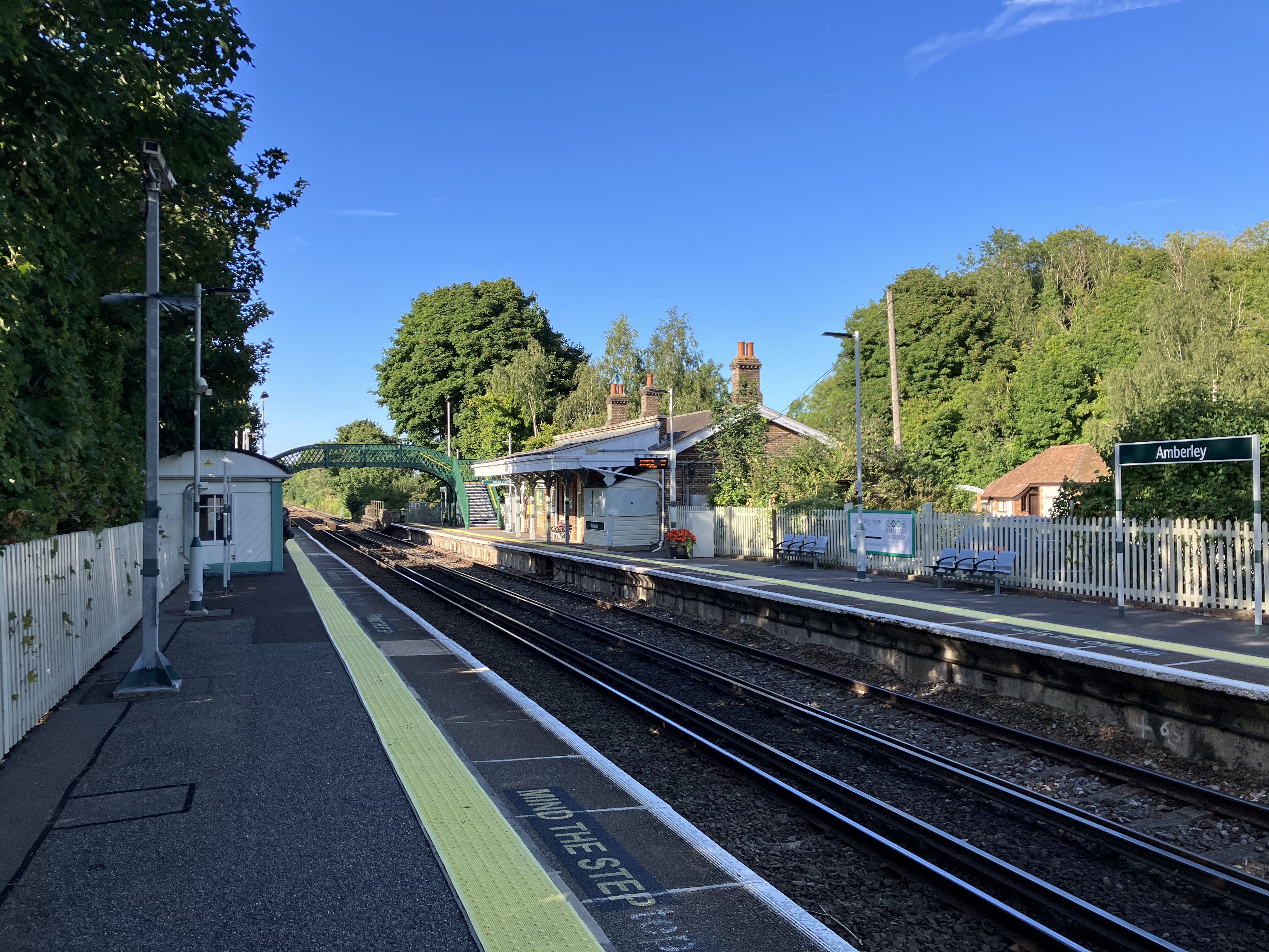
Amberley railway station
Amberley railway station is a railway station in West Sussex, England. It serves the village of Amberley, about half a mile away, and was opened by the...
Amberley, West Sussex
Amberley is a village and civil parish in the Horsham District of West Sussex, England. It is situated at the foot of the South Downs, 4 miles (6 km) north...
Nearby Amenities
Located within 500m of 50.909251,-0.563267Have you been to Bury?
Leave your review of Bury below (or comments, questions and feedback).