Bury
Settlement in Huntingdonshire Huntingdonshire
England
Bury
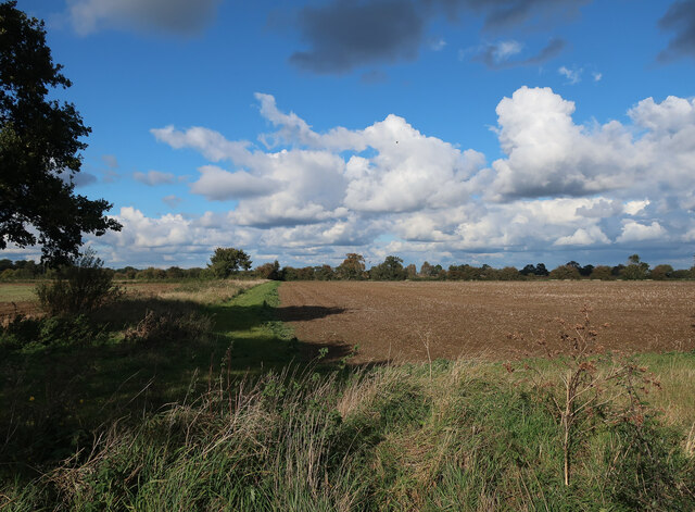
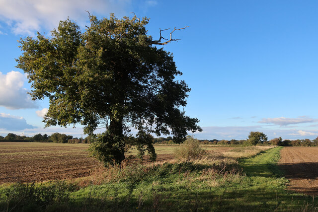
Bury is a small village located in the district of Huntingdonshire, Cambridgeshire, England. Situated approximately 10 miles west of Huntingdon, Bury is nestled within a picturesque rural landscape, surrounded by lush green fields and rolling hills.
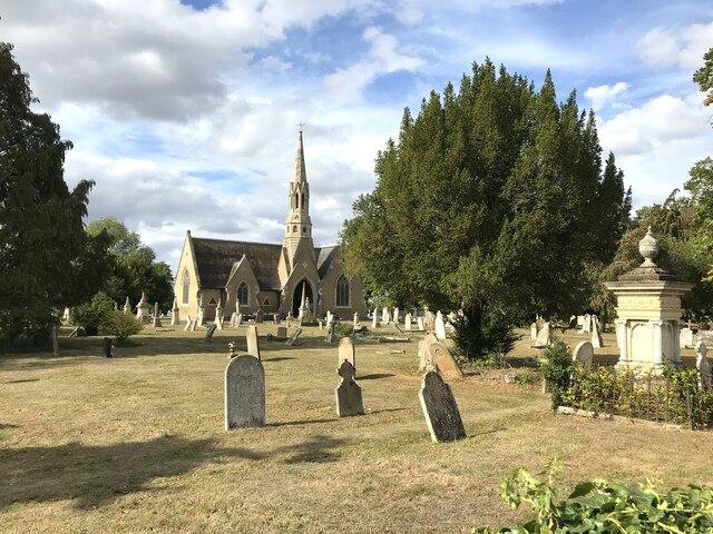
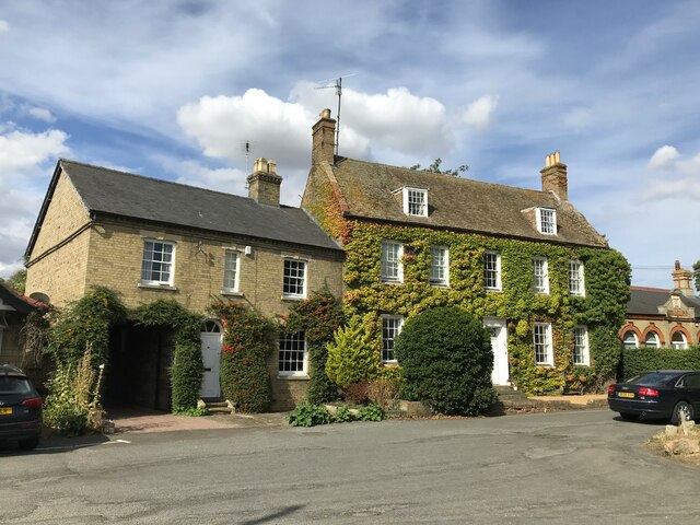
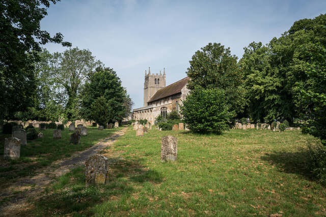
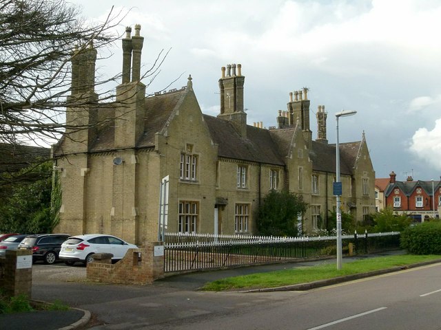
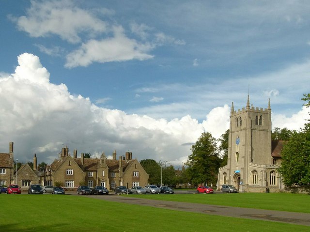
With a population of just around 200 residents, Bury exudes a tranquil and peaceful atmosphere. The village is characterized by a collection of charming cottages and traditional buildings, which add to its quaint and timeless appeal. The architecture reflects the village's rich history, with some structures dating back several centuries.
Bury is known for its strong sense of community, with various social events and gatherings taking place throughout the year. The village has a local pub, providing a hub for residents to come together and enjoy a drink or a meal. Additionally, Bury benefits from a well-maintained village hall, which serves as a venue for numerous activities, including meetings, parties, and cultural events.
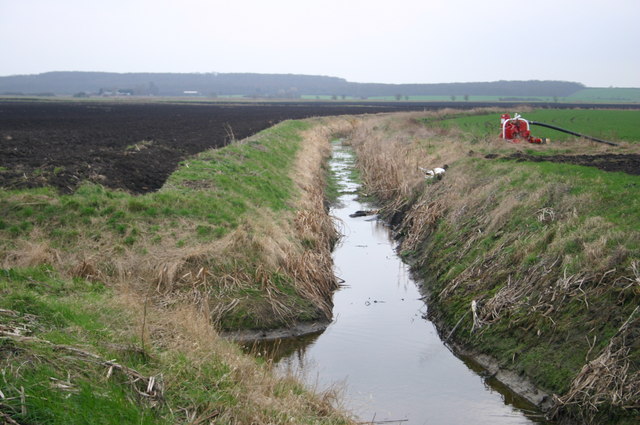
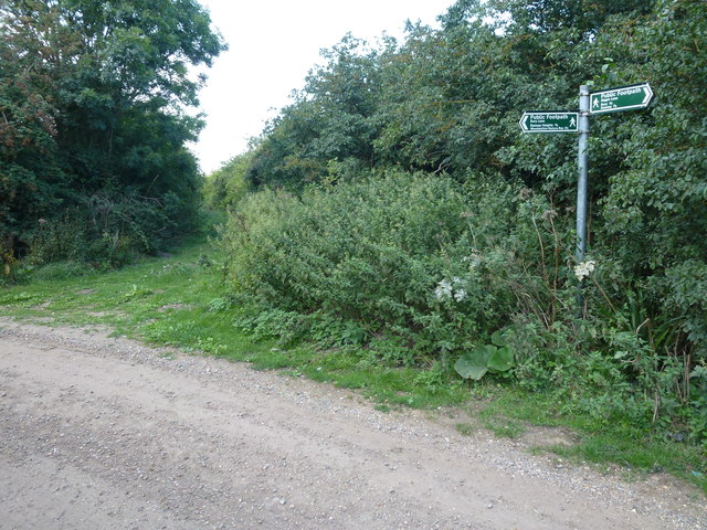
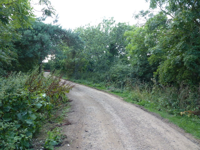
The surrounding countryside offers ample opportunities for outdoor pursuits, such as walking, cycling, and horse riding. Bury is conveniently situated near several nature reserves and parks, providing residents and visitors with a chance to explore the local wildlife and enjoy the natural beauty of the area.
While Bury may be a small and relatively quiet village, it offers a peaceful and idyllic setting for those seeking a slower pace of life away from the hustle and bustle of larger towns and cities.
If you have any feedback on the listing, please let us know in the comments section below.
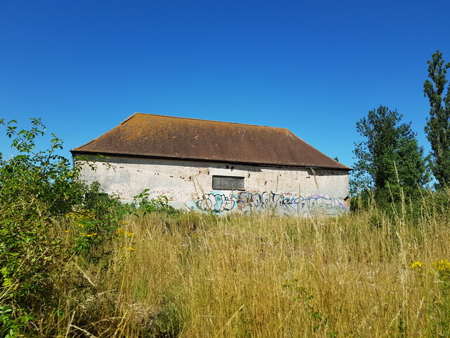
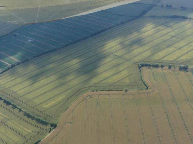
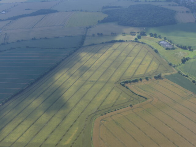
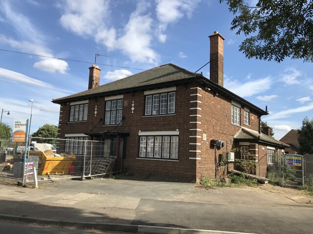
Bury Images
Images are sourced within 2km of 52.43838/-0.11287093 or Grid Reference TL2883. Thanks to Geograph Open Source API. All images are credited.
Bury is located at Grid Ref: TL2883 (Lat: 52.43838, Lng: -0.11287093)
Administrative County: Cambridgeshire
District: Huntingdonshire
Police Authority: Cambridgeshire
What 3 Words
///thickened.partied.cubs. Near Ramsey, Cambridgeshire
Nearby Locations
Related Wikis

Bury, Cambridgeshire
Bury is a village and civil parish in Cambridgeshire, England. Bury lies approximately 7 miles (11 km) north/north east of Huntingdon and is near to Ramsey...
Ramsey East railway station
Ramsey East railway station was a railway station in Ramsey, Cambridgeshire, which is now closed. It opened on 16 September 1889, and closed to passenger...
Ramsey Town F.C.
Ramsey Town Football Club is a football club based in Ramsey, Cambridgeshire, England. They are currently members of the Peterborough & District League...

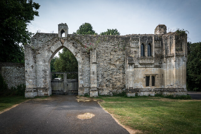
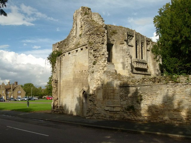
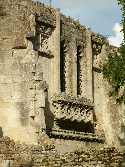
Ramsey Abbey Gatehouse
Ramsey Abbey Gatehouse was the gatehouse to the Benedictine Ramsey Abbey in Ramsey, Huntingdonshire (now part of Cambridgeshire), England. The gatehouse...
Ramsey Abbey
Ramsey Abbey was a Benedictine abbey in Ramsey, Huntingdonshire (now part of Cambridgeshire), England. It was founded about AD 969 and dissolved in 1539...

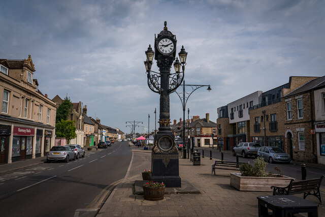
Ramsey, Cambridgeshire
Ramsey is a market town and civil parish in the Huntingdonshire district of Cambridgeshire, England. The town is about 9 miles (14 km) north of Huntingdon...

Church of St Thomas à Becket, Ramsey
The Church of St Thomas à Becket, Ramsey is the Church of England parish church of Ramsey, Cambridgeshire (formerly Huntingdonshire). The parish is part...

RAF Upwood
Royal Air Force Upwood or more simply RAF Upwood is a former Royal Air Force station adjacent to the village of Upwood, Cambridgeshire, England, in the...
Nearby Amenities
Located within 500m of 52.43838,-0.11287093Have you been to Bury?
Leave your review of Bury below (or comments, questions and feedback).