Burton-in-Kendal
Settlement in Westmorland South Lakeland
England
Burton-in-Kendal
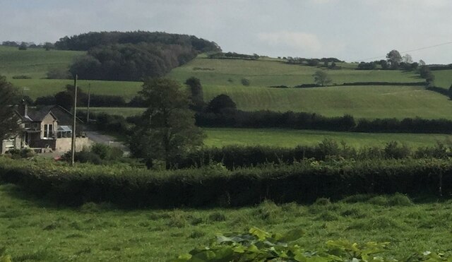
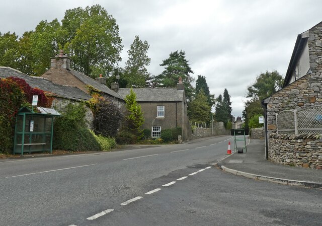
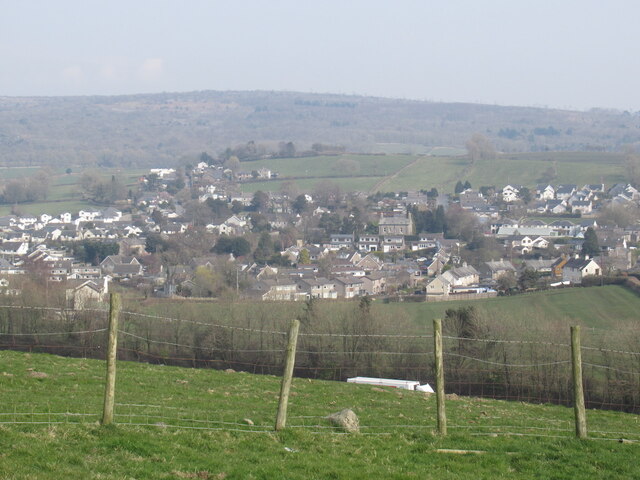
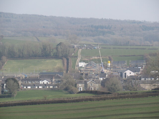
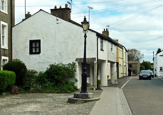
Burton-in-Kendal is a small village located in the district of South Lakeland, in the historic county of Westmorland, England. Situated in the picturesque region of Cumbria, it is nestled between the Lake District National Park to the west and the Yorkshire Dales National Park to the east.
The village dates back to medieval times and is known for its charming and traditional atmosphere. Its name is derived from the Old English words "burh" meaning fort and "tun" meaning settlement, suggesting the presence of a fortified settlement in the area in ancient times.
Burton-in-Kendal is home to a population of around 900 residents, who enjoy a close-knit community and a peaceful rural lifestyle. The village boasts a range of amenities, including a local primary school, a post office, a village hall, and a pub, which serves as a popular gathering spot for locals and visitors alike.
The surrounding countryside offers stunning views and ample opportunities for outdoor activities, such as hiking, cycling, and horse riding. The nearby Lancaster Canal, which passes through the village, provides a scenic waterway for boating enthusiasts.
Historically, Burton-in-Kendal was an important stop on the coaching routes between London and Scotland, with several coaching inns catering to travelers. Today, the village still retains some of its historic buildings and architectural features, adding to its charm.
Overall, Burton-in-Kendal is a tranquil and picturesque village that offers a peaceful escape in the heart of the beautiful Westmorland countryside.
If you have any feedback on the listing, please let us know in the comments section below.
Burton-in-Kendal Images
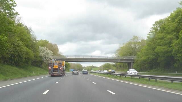
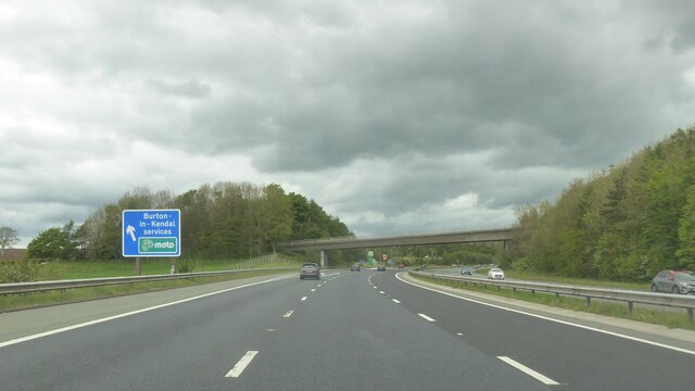
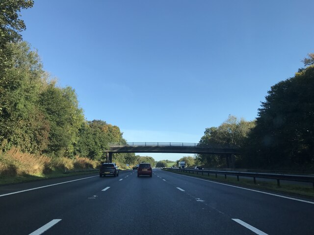
Images are sourced within 2km of 54.182247/-2.721356 or Grid Reference SD5376. Thanks to Geograph Open Source API. All images are credited.


Burton-in-Kendal is located at Grid Ref: SD5376 (Lat: 54.182247, Lng: -2.721356)
Administrative County: Cumbria
District: South Lakeland
Police Authority: Cumbria
What 3 Words
///mammoth.demotion.tall. Near Warton, Lancashire
Nearby Locations
Related Wikis

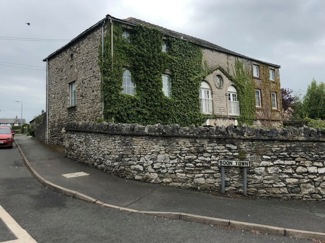
Burton-in-Kendal
Burton-in-Kendal is a village and civil parish on the extreme southern edge of Cumbria, England. The parish contains around 660 houses and in the 2001...
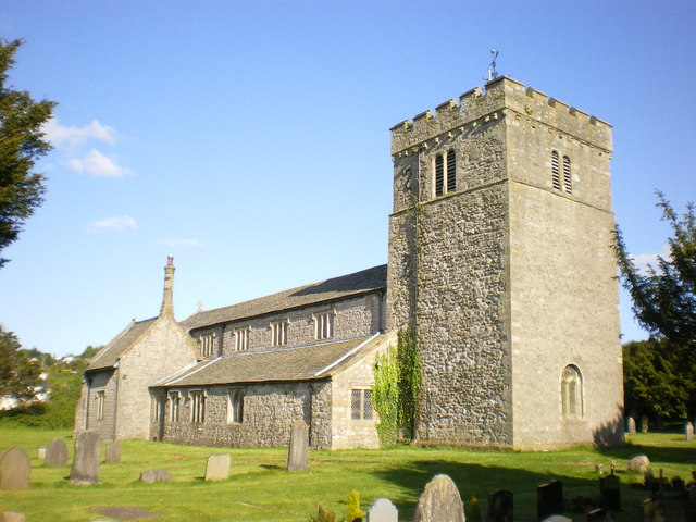
St James' Church, Burton-in-Kendal
St James' Church is in the village of Burton-in-Kendal, Cumbria, England. It is an active Anglican parish church in the deanery of Kendal, the archdeaconry...
Clawthorpe
Clawthorpe is a hamlet in the South Lakeland district, in the county of Cumbria, England. It is near the village of Burton-in-Kendal and the town of Kendal...

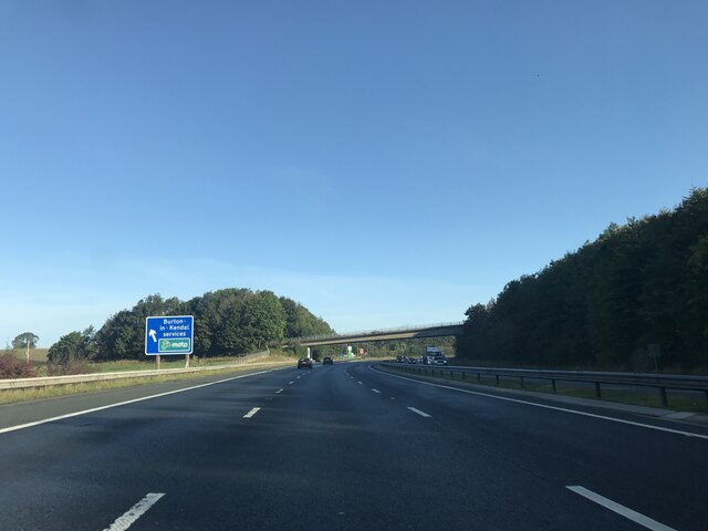
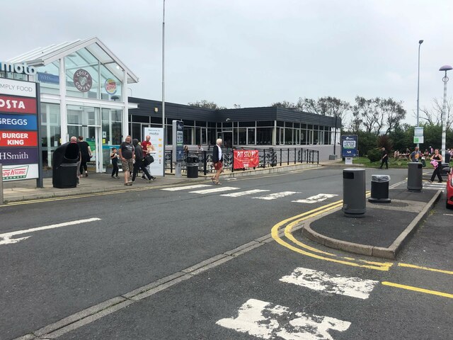
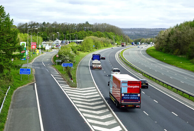
Burton-in-Kendal Services
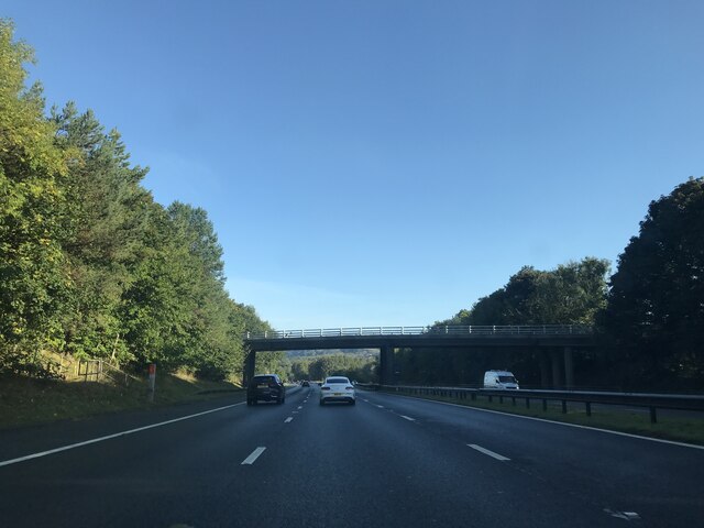
Burton-in-Kendal services is a motorway service station on the M6 motorway in Cumbria, England, adjacent to the border with Lancashire. It is located about...

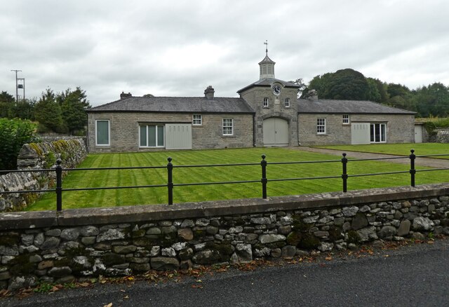
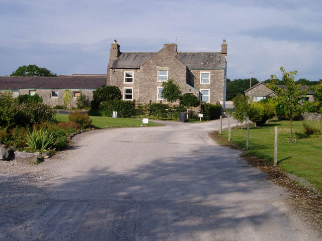
Dalton Hall, Cumbria
Dalton Hall is a country house near Burton-in-Kendal in northern England. The hall lies within the county palatine of Lancaster, while Burton lies in the...
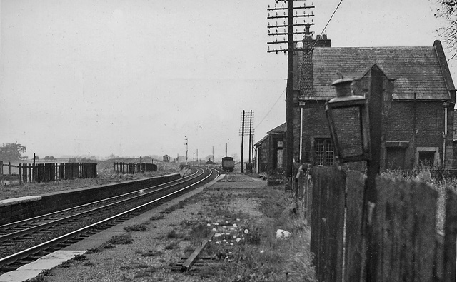
Burton and Holme railway station
Burton and Holme railway station served the village of Burton-in-Kendal, Westmorland, England, from 1846 to 1966 on the Lancaster and Carlisle Railway...

Dalton, Cumbria
Dalton is a hamlet and former civil parish, now in the parish of Burton-in-Kendal, in the Westmorland and Furness district, Cumbria, England. Until 1894...
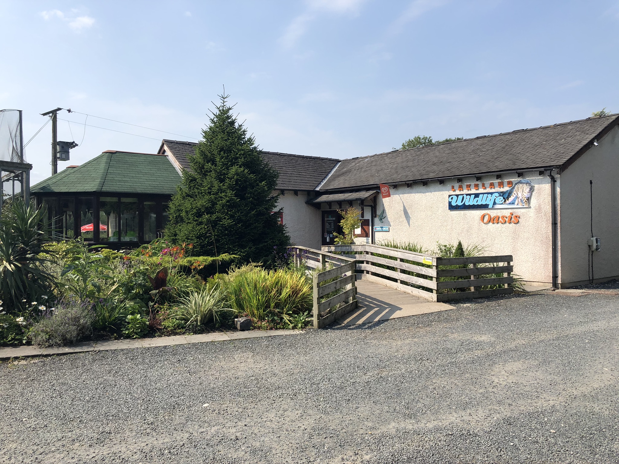
Lakeland Wildlife Oasis
The Lakeland Wildlife Oasis is a small zoological collection near the town of Milnthorpe, Cumbria, England, with a science and evolution theme. Since April...
Nearby Amenities
Located within 500m of 54.182247,-2.721356Have you been to Burton-in-Kendal?
Leave your review of Burton-in-Kendal below (or comments, questions and feedback).