Burton Green

Settlement in Warwickshire Warwick

England

Burton Green

Nailcote Lane towards Balsall Common
Nailcote Lane towards Balsall Common Credit: Ian S

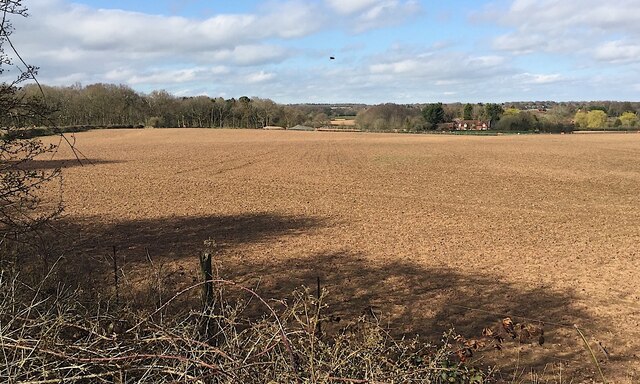
Burton Green is a small village located in the county of Warwickshire, England. Situated approximately six miles southeast of the town of Kenilworth, it is nestled amidst picturesque countryside and offers a peaceful and scenic environment for its residents.

The village is home to a population of around 500 people, and its history can be traced back to the medieval era. The name "Burton Green" is derived from the Old English term "burh-tun," meaning fortified enclosure, indicating its roots as a defensive settlement.

Despite its small size, Burton Green boasts a range of amenities and facilities that cater to the needs of its residents. These include a primary school, a village hall, a post office, and a local pub that serves as a focal point for social gatherings and community events.

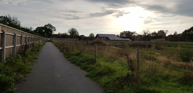
With its idyllic setting, Burton Green is a popular destination for outdoor enthusiasts. The village is surrounded by lush green fields and rolling hills, providing ample opportunities for walking, cycling, and exploring the countryside. Additionally, the nearby Burton Green Nature Reserve offers a haven for wildlife and is a favored spot for birdwatchers and nature lovers.

Transport links to Burton Green are convenient, with regular bus services connecting the village to nearby towns and cities. The village is also situated close to major road networks, such as the M40 and M6 motorways, providing easy access to the wider region.

In summary, Burton Green is a charming and tranquil village in Warwickshire, offering a close-knit community, stunning natural landscapes, and a range of amenities for its residents to enjoy.

If you have any feedback on the listing, please let us know in the comments section below.
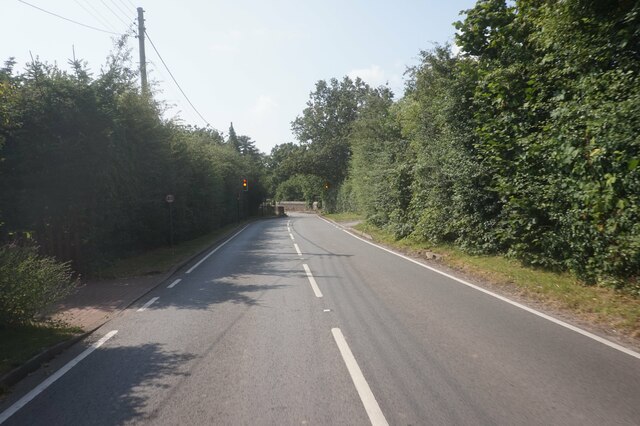
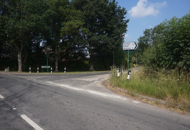
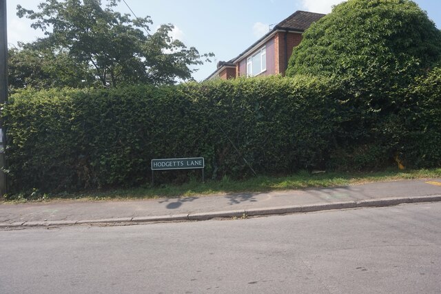
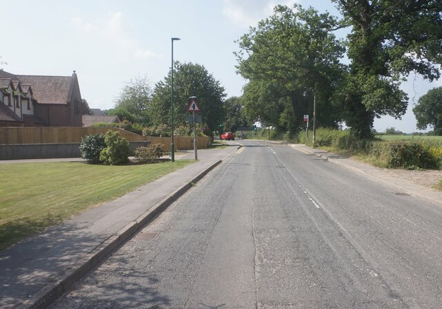
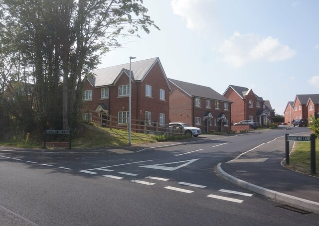
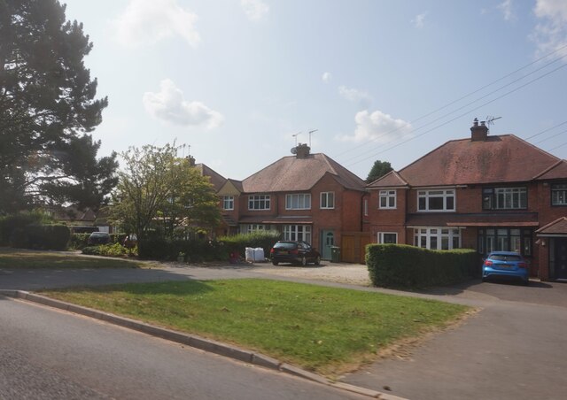
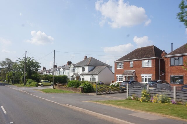
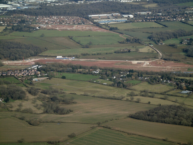
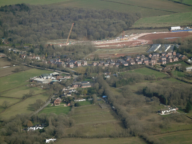
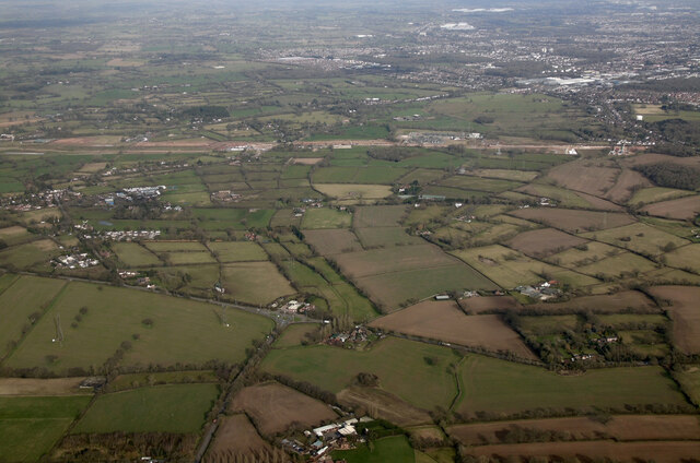
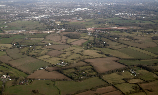
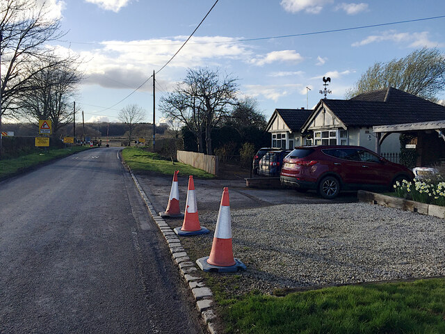
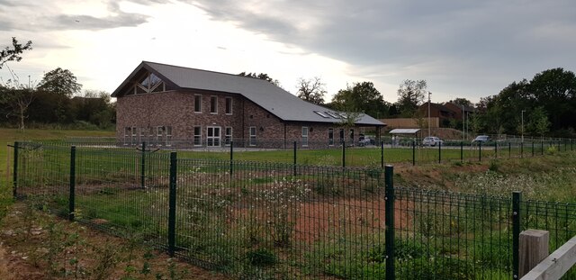
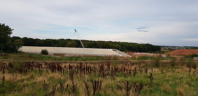
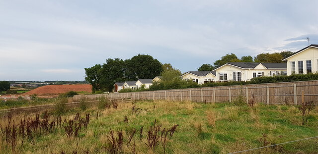
Burton Green Images

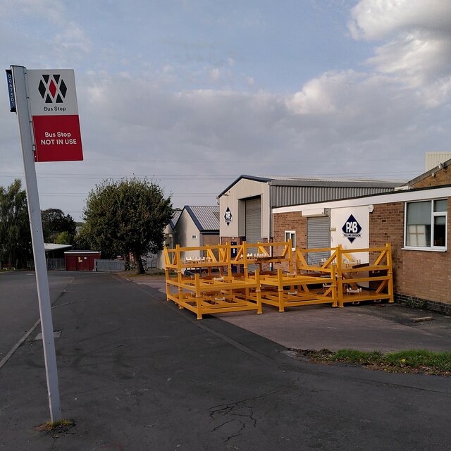
Images are sourced within 2km of 52.379988/-1.609664 or Grid Reference SP2775. Thanks to Geograph Open Source API. All images are credited.

Nailcote Lane towards Balsall Common
Nailcote Lane at Hodgetts Lane
Hodgetts Lane, Burton Green
Cromwell Lane, Burton Green
Burrow Hill Lane off Red Lane, Burton Green
Houses on Red Lane near Burton Green
Red Lane near Long Meadow Barn Farm
Future HS2-spotting opportunity, southeast of Broadwells Wood In this scene near South Hurst Farm HS2 will run across from the right into Broadwells Wood, left. The view is from the Kenilworth Greenway.
Future HS2-spotting opportunity, southeast of Broadwells Wood
In this scene near South Hurst Farm HS2 will run across from the right into Broadwells Wood, left. The view is from the Kenilworth Greenway.
HS2 construction site at Burton Green from the air Burton Green is in the foreground, Westwood Heath and the Network Rail conference centre are in the distance. Viewed from a Birmingham bound flight from Prague.
HS2 construction site at Burton Green from the air
Burton Green is in the foreground, Westwood Heath and the Network Rail conference centre are in the distance. Viewed from a Birmingham bound flight from Prague.
HS2 construction site at Burton Green from the air Burton Green is in the foreground. Viewed from a Birmingham bound flight from Prague.
HS2 construction site at Burton Green from the air
Burton Green is in the foreground. Viewed from a Birmingham bound flight from Prague.
HS2 construction site near Burton Green from the air Burton Green is just out of sight to the right of the works, with the western side of Coventry to the top right corner. The roundabout at the junction of the A4177 and A452 is in the foreground. Viewed from a Birmingham bound flight from Prague.
HS2 construction site near Burton Green from the air
Burton Green is just out of sight to the right of the works, with the western side of Coventry to the top right corner. The roundabout at the junction of the A4177 and A452 is in the foreground. Viewed from a Birmingham bound flight from Prague.
HS2 construction site at Burton Green from the air Burton Green is to the right, Coventry in the distance. Viewed from a Birmingham bound flight from Prague.
HS2 construction site at Burton Green from the air
Burton Green is to the right, Coventry in the distance. Viewed from a Birmingham bound flight from Prague.
Approaching HS2 site access, Crackley Lane, near Westwood Heath The site access, signed further along the road, is seen in <a href="https://www.geograph.org.uk/photo/6832380">SP2775 : HS2 enabling works, Crackley-Burton Green, March 2021 (13)</a>.
Approaching HS2 site access, Crackley Lane, near Westwood Heath
The site access, signed further along the road, is seen in SP2775 : HS2 enabling works, Crackley-Burton Green, March 2021 (13).
Burton Green Village Hall This impressive village hall is newly built, I imagine as compensation for the disruption caused by HS2 which is being built right through the village.
Burton Green Village Hall
This impressive village hall is newly built, I imagine as compensation for the disruption caused by HS2 which is being built right through the village.
HS2 Construction at Burton Green At this point a tunnel is being built to convey HS2 which here is close to residential settlement. I imagine the tunnel will later be buried and the area landscaped.
HS2 Construction at Burton Green
At this point a tunnel is being built to convey HS2 which here is close to residential settlement. I imagine the tunnel will later be buried and the area landscaped.
Broadwell Woods, Burton Green The homes of Broadwell Woods can be seen behind the fence. The construction of HS2 can just be seen in the left distance - there is a large mound of soil.
Broadwell Woods, Burton Green
The homes of Broadwell Woods can be seen behind the fence. The construction of HS2 can just be seen in the left distance - there is a large mound of soil.
Shared Use Path, Burton Green This shared use path is quite newly constructed and forms part of the Kenilworth Greenway HS2 diversion which is in place for the duration of the works. The new Burton Green village hall is in the background.
Shared Use Path, Burton Green
This shared use path is quite newly constructed and forms part of the Kenilworth Greenway HS2 diversion which is in place for the duration of the works. The new Burton Green village hall is in the background.
Falkland Close, Charter Avenue Industrial Estate, Canley A listing, disused bus stop, the wares of a steel fabricator outside their workshop: this is an industrial estate at the western end of Canley.
Falkland Close, Charter Avenue Industrial Estate, Canley
A listing, disused bus stop, the wares of a steel fabricator outside their workshop: this is an industrial estate at the western end of Canley.
Show me another place!

Burton Green is located at Grid Ref: SP2775 (Lat: 52.379988, Lng: -1.609664)

Administrative County: Warwickshire

District: Warwick

Police Authority: Warwickshire

What 3 Words

///zealous.race.debit. Near Balsall Common, West Midlands

Nearby Locations

Burton Green

Related Wikis

Burton Green

Burton Green is a village and civil parish in the Warwick district of the county of Warwickshire, England, some 4.8 km (3.0 mi) northwest of Kenilworth...

Tile Hill railway station

Tile Hill railway station is situated in the west of Tile Hill, Coventry, in the West Midlands of England. The station, and all trains serving it, are...

Westwood Heath

Westwood Heath is a southwestern suburb of the City of Coventry in the West Midlands, England.It is bordered by the suburbs of Cannon Park and Canley,...

Heart of England School

Heart of England School is a secondary school and sixth form with academy status located in Balsall Common in the West Midlands. The Headteacher, who started...

Nearby Amenities

Located within 500m of 52.379988,-1.609664
Crossing
Crossing: marked
Lat/Long: 52.3776192/-1.6060585
Bus Stop
Hob Lane / Red Lane
Bus: yes
Naptan AtcoCode: 43000102901
Naptan Bearing: S
Naptan BusStopType: MKD
Naptan CommonName: Red Lane
Naptan Indicator: opp
Naptan NaptanCode: nwmtpatp
Naptan PlusbusZoneRef: BHAMNWS
Naptan Status: ACT
Naptan StopType: BCT
Naptan Street: CROMWELL LANE
Naptan Towards: Kenilworth
Naptan Verified: no
Public Transport: platform
Route Ref: 233
Source: WMCA
Lat/Long: 52.378892/-1.6072427
Bus Stop
Cromwell Lane
Bus: yes
Naptan AtcoCode: 4200F013700
Naptan Bearing: S
Naptan CommonName: Cromwell Lane
Naptan Indicator: Opp
Naptan NaptanCode: warampta
Naptan PlusbusZoneRef: BHAMNWS
Naptan Street: Cromwell Lane
Naptan Verified: no
Public Transport: platform
Source: naptan_import
Lat/Long: 52.3807715/-1.6059859
Bus Stop
Cromwell Lane
Bus: yes
Naptan AtcoCode: 4200F013800
Naptan Bearing: N
Naptan CommonName: Cromwell Lane
Naptan Indicator: Adj
Naptan NaptanCode: waramptd
Naptan PlusbusZoneRef: BHAMNWS
Naptan Street: Cromwell Lane
Naptan Verified: no
Public Transport: platform
Source: naptan_import
Lat/Long: 52.3812476/-1.6059875
Bus Stop
Hodgetts Lane
Bus: yes
Naptan AtcoCode: 4200F126150
Naptan Bearing: NW
Naptan CommonName: Hodgetts Lane
Naptan Crossing: Cromwell Lane
Naptan Indicator: Adj
Naptan NaptanCode: warajwjg
Naptan PlusbusZoneRef: BHAMNWS
Naptan Street: Hodgetts Lane
Naptan Verified: no
Public Transport: platform
Source: naptan_import
Lat/Long: 52.381103/-1.6063656
Brand: National Grid
Brand Wikidata: Q1465461
Material: metal
Operator: National Grid Electricity Distribution
Operator Old: Western Power Distribution
Operator Wikidata: Q7988183
Owner: National Grid Electricity Distribution (East Midlands) Plc
Owner Wikidata: Q114348127
Power: tower
Lat/Long: 52.3825737/-1.6150349
Brand: National Grid
Brand Wikidata: Q1465461
Material: metal
Operator: National Grid Electricity Distribution
Operator Old: Western Power Distribution
Operator Wikidata: Q7988183
Owner: National Grid Electricity Distribution (East Midlands) Plc
Owner Wikidata: Q114348127
Power: tower
Lat/Long: 52.3804379/-1.6161756
Barrier: kissing_gate
Lat/Long: 52.378933/-1.6033988
Burton Green
Is In: Warwickshire
Place: village
Website: http://burtongreen.blogspot.co.uk/
Wikidata: Q5000861
Wikipedia: en:Burton Green
Lat/Long: 52.3799015/-1.6058042
Post Box
Brand: Royal Mail
Brand Wikidata: Q638098
Collection Times: Mo-Fr 16:30; Sa 09:00
Operator: Royal Mail
Operator Wikidata: Q638098
Post Box Type: lamp
Ref: CV8 273
Royal Cypher: EIIR
Royal Cypher Wikidata: Q33102113
Source: survey
Lat/Long: 52.3814783/-1.6057233
Bus Stop
Hob Lane / Red Lane
Bus: yes
Naptan AtcoCode: 43000102902
Naptan Bearing: N
Naptan BusStopType: CUS
Naptan CommonName: Red Lane
Naptan Indicator: opp
Naptan NaptanCode: nwmtpatw
Naptan PlusbusZoneRef: BHAMNWS
Naptan Status: ACT
Naptan StopType: BCT
Naptan Street: CROMWELL LANE
Naptan Towards: Kenilworth
Naptan Verified: no
Public Transport: platform
Route Ref: 233
Source: WMCA
Lat/Long: 52.378596/-1.6075138
Generator Method: photovoltaic
Generator Output Electricity: yes
Generator Source: solar
Generator Type: solar_photovoltaic_panel
Location: roof
Power: generator
Lat/Long: 52.3795252/-1.6064561
Material: wood
Operator: National Grid Electricity Distribution
Operator Wikidata: Q7988183
Power: pole
Lat/Long: 52.376386/-1.6139281
Material: wood
Operator: National Grid Electricity Distribution
Operator Wikidata: Q7988183
Power: pole
Lat/Long: 52.3779341/-1.6149044
Material: wood
Operator: National Grid Electricity Distribution
Operator Wikidata: Q7988183
Power: pole
Lat/Long: 52.3788183/-1.6145504
Material: wood
Operator: National Grid Electricity Distribution
Operator Wikidata: Q7988183
Power: pole
Lat/Long: 52.3797974/-1.6141748
Location Transition: yes
Material: wood
Power: pole
Lat/Long: 52.382746/-1.6108114
Material: wood
Power: pole
Lat/Long: 52.3821157/-1.6117153
Material: wood
Operator: National Grid Electricity Distribution
Operator Wikidata: Q7988183
Power: pole
Lat/Long: 52.3810122/-1.6131958
Crossing
Crossing: marked
Lat/Long: 52.37817/-1.6075639
Bench
Lat/Long: 52.3803147/-1.6157329
Bench
Lat/Long: 52.3806962/-1.6130857
Material: wood
Operator: National Grid Electricity Distribution
Operator Wikidata: Q7988183
Power: pole
Source: bing
Lat/Long: 52.3771514/-1.6148078
Operator: National Grid Electricity Distribution
Operator Wikidata: Q7988183
Power: pole
Lat/Long: 52.3814793/-1.6125735
Operator: National Grid Electricity Distribution
Operator Wikidata: Q7988183
Power: pole
Lat/Long: 52.380495/-1.61396
Man Made: mounting_block
Lat/Long: 52.3782228/-1.6078699
Description: White post with red hat
Marker: aerial
Utility: fuel
Lat/Long: 52.3782304/-1.6077867
Colour: white
Marker: post
Material: plastic
Utility: fuel
Lat/Long: 52.3775413/-1.6062386
The data included in this document is from www.openstreetmap.org. The data is made available under ODbL.

Have you been to Burton Green?

Leave your review of Burton Green below (or comments, questions and feedback).