Burton Green
Settlement in Denbighshire
Wales
Burton Green
Burton Green is a small village located in the county of Denbighshire, Wales. Situated in the picturesque Vale of Clwyd, it is nestled between the towns of Ruthin and Denbigh. The village has a population of around 300 residents and offers a peaceful and rural atmosphere.
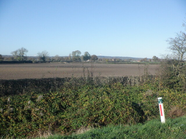
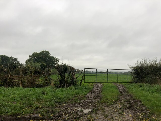
Surrounded by stunning natural beauty, Burton Green boasts rolling green fields and breathtaking views of the Clwydian Range, a designated Area of Outstanding Natural Beauty. The landscape provides ample opportunities for outdoor activities such as walking, cycling, and hiking.
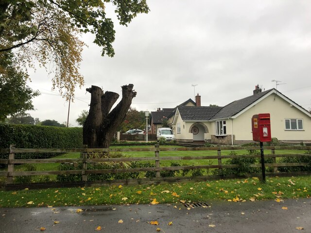
The village itself is characterized by a collection of charming and well-maintained cottages, many of which date back several centuries. These traditional buildings add to the village's quaint and idyllic ambiance. The local community takes great pride in preserving its heritage and maintaining the village's character.
Despite its small size, Burton Green offers a range of amenities to its residents. These include a local pub, a community center, and a village hall. The pub serves as a social hub for villagers and visitors alike, offering a warm and friendly atmosphere.
For those seeking cultural activities and a wider range of amenities, the nearby towns of Ruthin and Denbigh provide additional options. Both towns offer a variety of shops, restaurants, and leisure facilities, as well as historical attractions such as Ruthin Castle and Denbigh Castle.
In conclusion, Burton Green is a charming village situated in the scenic Vale of Clwyd. Its natural beauty, preserved heritage, and friendly community make it an attractive place to live or visit for those seeking a peaceful and rural setting.
If you have any feedback on the listing, please let us know in the comments section below.
Burton Green Images
Images are sourced within 2km of 53.119013/-2.977474 or Grid Reference SJ3458. Thanks to Geograph Open Source API. All images are credited.

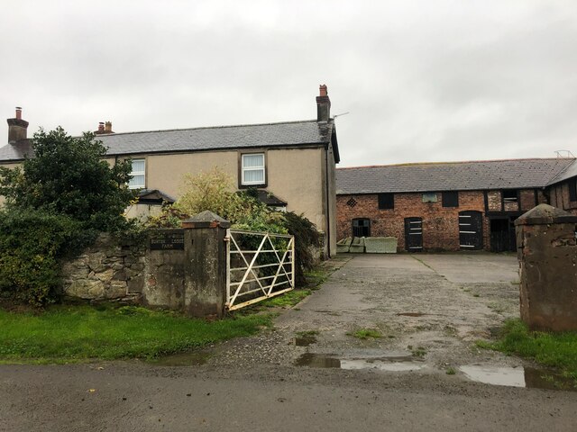


![Golden Grove Inn The 13th-century Golden Grove Inn is the right-hand building in this picture. Apart from the next-door cottage, the pub lies on its own among fields. [Now (2016) demolished for housing: apparently it was delisted in 1997 and Clwyd-Powys Archaeological Trust disputed its age. [<span class="nowrap"><a title="http://www.dailypost.co.uk/news/north-wales-news/petition-save-historic-wrexham-pub-9151330" rel="nofollow ugc noopener" href="http://www.dailypost.co.uk/news/north-wales-news/petition-save-historic-wrexham-pub-9151330">Link</a><img style="margin-left:2px;" alt="External link" title="External link - shift click to open in new window" src="https://s1.geograph.org.uk/img/external.png" width="10" height="10"/></span>]]](https://s3.geograph.org.uk/photos/16/04/160475_44fa8d5a.jpg)
Burton Green is located at Grid Ref: SJ3458 (Lat: 53.119013, Lng: -2.977474)
Unitary Authority: Wrexham
Police Authority: North Wales
What 3 Words
///owns.before.ironclad. Near Rossett, Wrexham
Nearby Locations
Related Wikis

Burton, Wrexham
Burton (Welsh: Bwrton; ) is a village in the community of Rossett in Wrexham County Borough, Wales. The hamlet of Burton Green is a separate settlement...

Rossett railway station
Rossett was a minor railway station located on the Great Western Railway's Paddington to Birkenhead line several miles north of Wrexham in Wales. The route...

Presbyterian Chapel, Rossett
The Presbyterian Chapel, Rossett, is on Station Road, in Rossett, Wrexham County Borough, Wales. It continues to be active as a Welsh Presbyterian church...
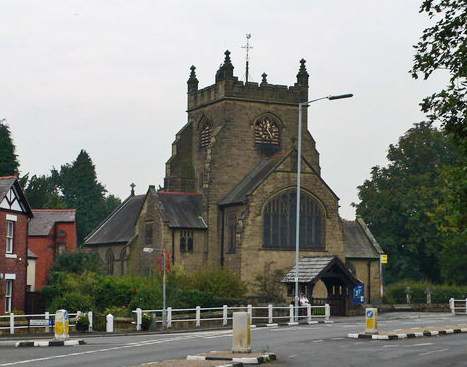
Christ Church, Rossett
Christ Church is a church of the Church in Wales, situated in Rossett, Wrexham County Borough, Wales. It is designated by Cadw as a Grade II listed building...
Nearby Amenities
Located within 500m of 53.119013,-2.977474Have you been to Burton Green?
Leave your review of Burton Green below (or comments, questions and feedback).