Burton Ferry
Settlement in Pembrokeshire
Wales
Burton Ferry

Burton Ferry is a small village located in Pembrokeshire, Wales. Situated on the banks of the Cleddau estuary, Burton Ferry is known for its picturesque views and tranquil atmosphere. The village is surrounded by lush green countryside and offers easy access to the Pembrokeshire Coast National Park, making it a popular destination for nature lovers and outdoor enthusiasts.
The main feature of Burton Ferry is the ferry service that operates across the Cleddau estuary, providing a convenient link between Burton Ferry and Neyland. The ferry is a popular mode of transportation for both locals and tourists, offering a unique way to experience the beauty of the estuary and its surrounding landscapes.
In addition to the ferry service, Burton Ferry is home to a small community of residents who enjoy a quiet and peaceful lifestyle. The village has a few amenities, including a pub and a small shop, making it a charming place to visit or live.
Overall, Burton Ferry is a hidden gem in Pembrokeshire, offering stunning scenery, a close-knit community, and a relaxing atmosphere for visitors and residents alike.
If you have any feedback on the listing, please let us know in the comments section below.
Burton Ferry Images
Images are sourced within 2km of 51.708178/-4.925267 or Grid Reference SM9705. Thanks to Geograph Open Source API. All images are credited.


Burton Ferry is located at Grid Ref: SM9705 (Lat: 51.708178, Lng: -4.925267)
Unitary Authority: Pembrokeshire
Police Authority: Dyfed Powys
What 3 Words
///templates.heartburn.accusing. Near Burton, Pembrokeshire
Nearby Locations
Related Wikis

Burton, Pembrokeshire
Burton is a small village, parish and community in Pembrokeshire, Wales, set on a hill overlooking the River Cleddau with views of the estuary to the south...
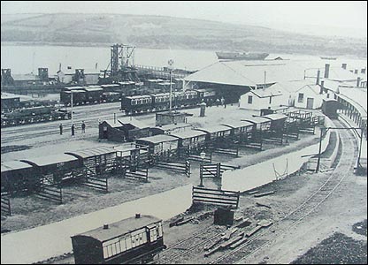
Neyland railway station
Neyland railway station was on the north bank of the Milford Haven Waterway in Pembrokeshire, Wales. == History == The Great Western Railway (GWR) was...

Pembroke Dock Military Cemetery
Pembroke Dock Military Cemetery is a burial ground for military personnel. It is located in Llanion, Pembroke Dock in Wales. It is the only dedicated military...

Neyland
Neyland is a town and community in Pembrokeshire, Wales, lying on the River Cleddau and the upstream end of the Milford Haven estuary. The Cleddau Bridge...
Nearby Amenities
Located within 500m of 51.708178,-4.925267Have you been to Burton Ferry?
Leave your review of Burton Ferry below (or comments, questions and feedback).